The best walks and hikes around Moûtiers
4.5
(1163)
11,514
hikers
328
hikes
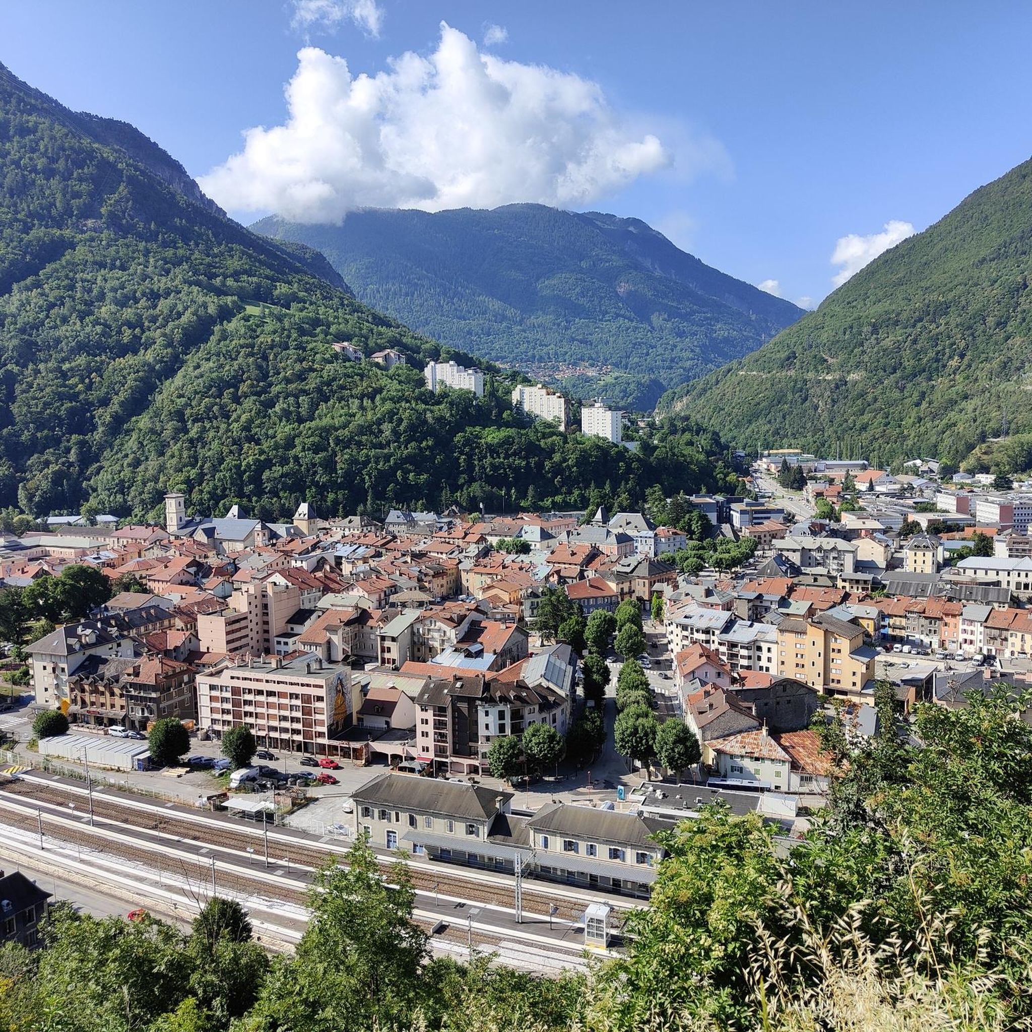
Hiking around Moûtiers offers diverse landscapes within the Tarentaise valley, serving as a gateway to the Vanoise National Park. The region features mountainous terrain with forests, mountain pastures, and ridges, providing panoramic views. Hikers can explore trails alongside the Isère and Morel rivers, including the picturesque Cascade du Morel, and discover numerous tranquil lakes such as Plan d'Eau de la Sangsue and Lac Saint-Hélène.
Best hiking trails around Moûtiers
- The most popular hiking route is Notre Dame de la Salette et la Croix de Feissons - Loop, a 3.7 miles (6.0 km) trail that takes 1 hour 47 minutes to complete. This easy loop offers views towards the Croix de Feissons.
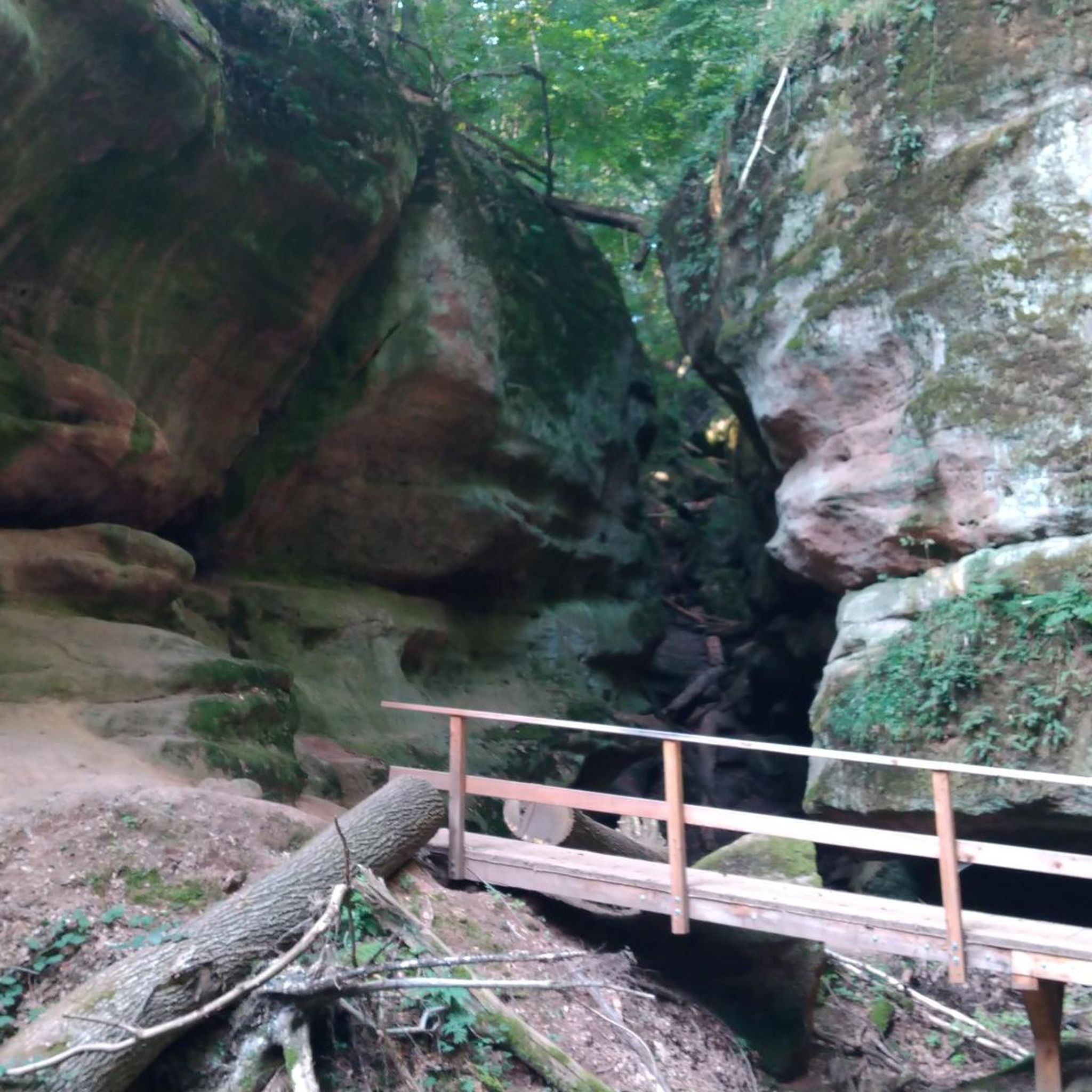
- Another top favourite among local hikers is La gorge aux Pigeons – Hiking loop from Salins-Fontaine, a moderate 5.8 miles (9.4 km) path. This route explores a scenic gorge, providing varied terrain.
- Local hikers also love the Hiking loop from Hautecour, a 2.8 miles (4.5 km) trail leading through local village surroundings, often completed in about 1 hour 28 minutes.
- Hiking around Moûtiers is defined by mountainous terrain, river valleys, and serene lakes, with a network of trails offering options for different ability levels.
- The routes in Moûtiers are highly rated by the komoot community with an average score of 4.6 stars from over 800 reviews. More than 9000 hikers have used komoot to explore Moûtiers's varied terrain.
Last updated: October 12, 2026
4.7
(22)
89
hikers
6.00km
01:47
190m
190m
Easy hike. Great for any fitness level. Easily-accessible paths. Suitable for all skill levels.
4.4
(29)
144
hikers
9.29km
02:39
210m
210m
Moderate hike. Good fitness required. Easily-accessible paths. Suitable for all skill levels.

4.7
(19)
111
hikers
4.23km
01:24
210m
210m
Easy hike. Great for any fitness level. Easily-accessible paths. Suitable for all skill levels.
4.4
(25)
219
hikers
12.5km
03:29
240m
240m
Moderate hike. Good fitness required. Easily-accessible paths. Suitable for all skill levels.
4.9
(9)
44
hikers
Moderate hike. Good fitness required. Easily-accessible paths. Suitable for all skill levels.
Get access to more routes and recommendations from other explorers.
Already have an account?
Our route recommendations are based on thousands of hikes, rides, and runs completed by other people on komoot.
Start today with a free account
Your next adventure awaits.
Popular around Moûtiers
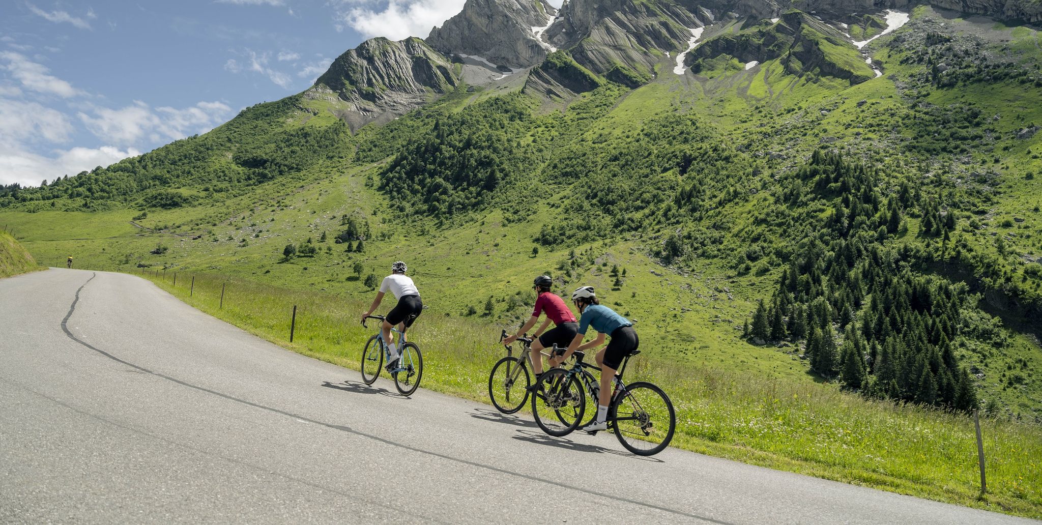
10 wonderful Tours in Savoie and Haute-Savoie – easily accessible by train
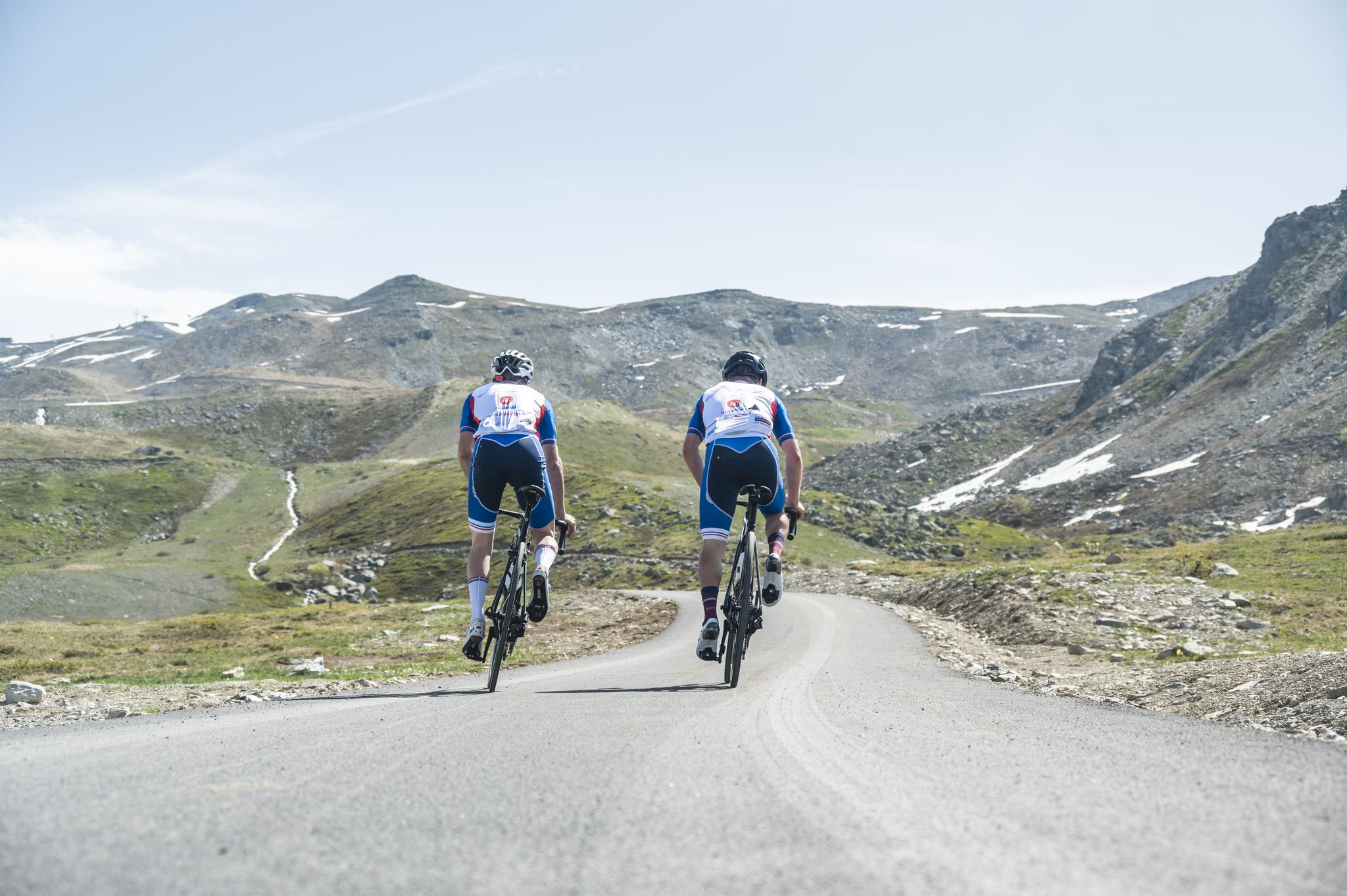
Vélo route et cyclotourisme dans la Vallée des Belleville
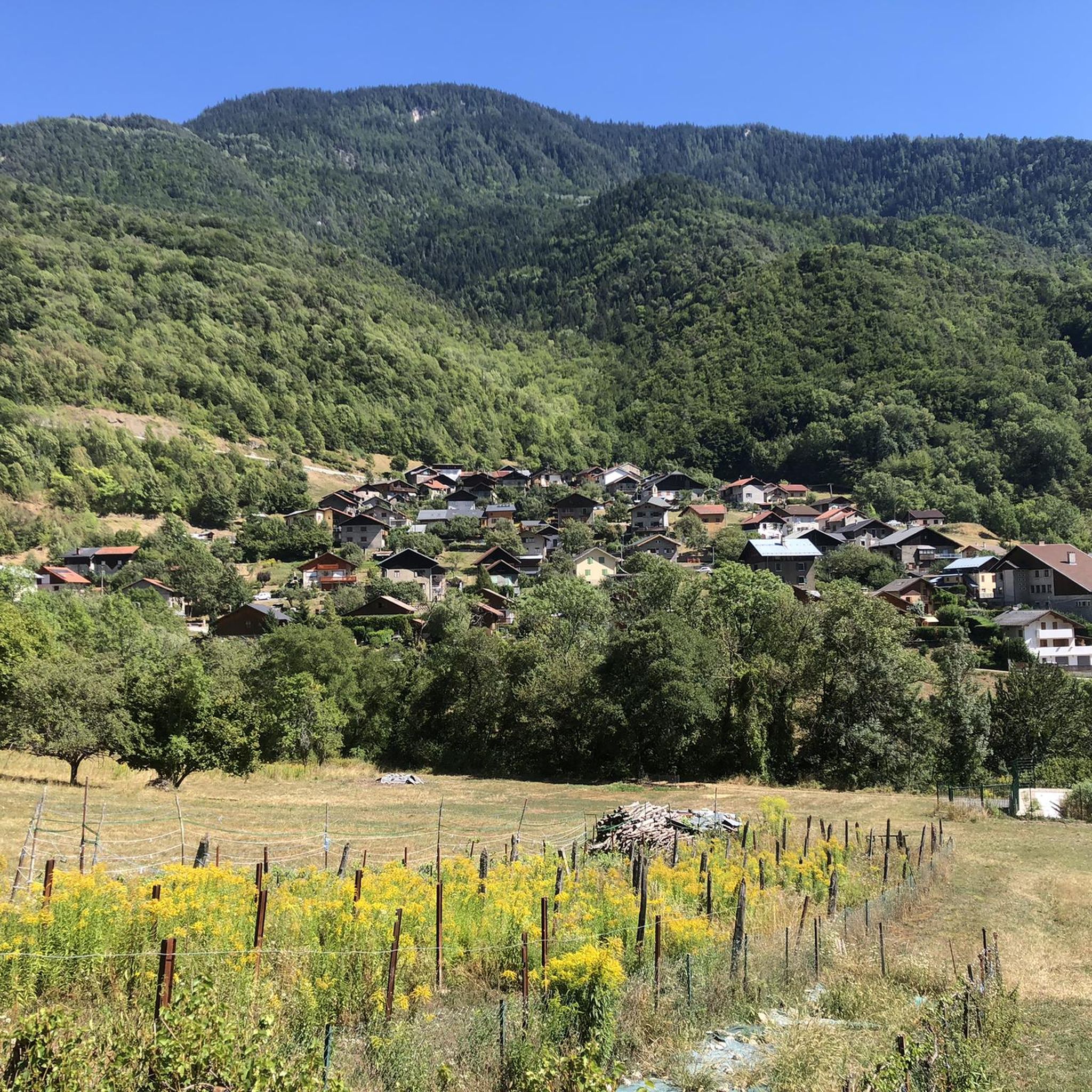
Road Cycling Routes around Moûtiers
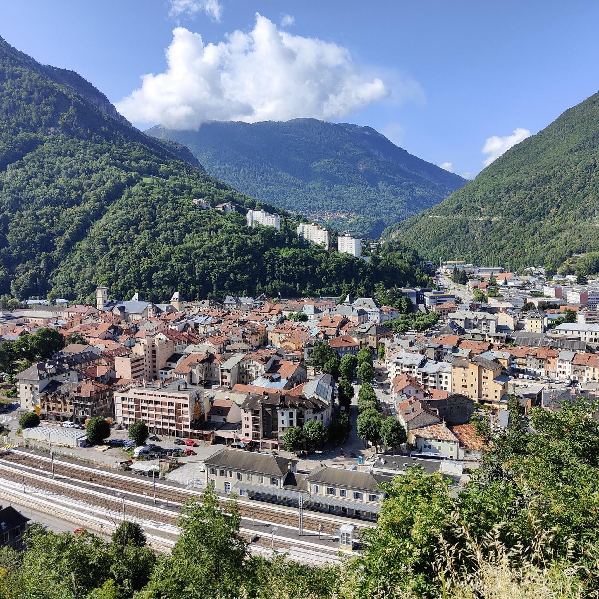
Cycling around Moûtiers
MTB Trails around Moûtiers
Running Trails around Moûtiers

Gravel biking around Moûtiers

Mountain Hikes around Moûtiers


Tips from the Community

Small bridge, nice bike path.
1
0
Nice little resort town, many possibilities.
3
0

Easy family walk in the cool air along the Doron de Bozel.
0
0

easy access or via paths crossing passable roads
0
0


Frequently Asked Questions
How many hiking trails are available around Moûtiers?
Moûtiers offers a wide selection of routes, with over 300 hiking trails available. These range from easy strolls to more challenging mountain expeditions, catering to various fitness levels.
What is the general difficulty level of hiking trails in Moûtiers?
The trails around Moûtiers offer a diverse range of difficulties. You'll find approximately 90 easy routes perfect for a relaxed walk, over 150 moderate trails for those seeking a bit more challenge, and around 60 difficult routes for experienced hikers looking for demanding ascents and longer distances.
Are there family-friendly hiking options in Moûtiers?
Yes, Moûtiers is an excellent destination for families. Many easy trails are suitable for all ages, including short walks lasting just over an hour. These paths often feature gentle terrain and scenic views, making them ideal for a family outing.
Are there any circular hiking routes near Moûtiers?
Absolutely. The region is rich in loop trails. For example, you can explore the Notre Dame de la Salette et la Croix de Feissons - Loop, an easy 6 km route offering views towards the Croix de Feissons. Another option is the moderate La gorge aux Pigeons – Hiking loop from Salins-Fontaine, which takes you through a scenic gorge.
Can I find hikes with waterfalls around Moûtiers?
Yes, the area features beautiful natural water features. The picturesque Cascade du Morel, located on the Morel River, is a notable highlight. You can experience it on the Le Morel – View of the Cascade du Morel loop from Grand-Aigueblanche, a moderate 12.7 km hike.
What kind of natural landscapes can I expect to see while hiking near Moûtiers?
Moûtiers, nestled in the Tarentaise valley, offers incredibly diverse landscapes. You'll traverse forests, mountain pastures, and ridges, with opportunities to enjoy panoramic views of iconic peaks like Mont-Blanc. The region also features the Isère River, numerous serene lakes such as Plan d'Eau de la Sangsue and Lac Saint-Hélène, and dramatic granite formations in some areas.
Are there any notable viewpoints or landmarks along the trails?
Many trails offer stunning viewpoints. The Mont Jovet, at 2558 meters, provides extensive vistas. You can also find specific highlights like the Col de la Loze Summit (2304 m) or the Valmorel Summit Ascent (1300 m). The Croix de Feissons Viewpoint – Chapelle Saint-Antonin loop from Feissons-sur-Salins is another route known for its scenic outlooks.
What do other hikers enjoy the most about hiking in Moûtiers?
The hiking experience in Moûtiers is highly rated by the komoot community, with an average score of 4.6 stars from over 800 reviews. Hikers frequently praise the varied terrain, the stunning mountainous scenery, and the well-maintained network of trails that cater to all abilities.
When is the best time of year to go hiking in Moûtiers?
The prime hiking season in Moûtiers typically runs from spring through autumn, when the weather is mild and the trails are clear of snow. Summer offers lush landscapes and warmer temperatures, while spring and autumn provide vibrant colors and fewer crowds. Winter also offers opportunities for snowshoeing and other snow-based activities.
Can I bring my dog on the hiking trails around Moûtiers?
While many trails in the region are dog-friendly, it's important to check specific regulations for each route, especially if you plan to hike near or within protected areas like the Vanoise National Park, where rules regarding dogs can be stricter. Always keep your dog on a leash and clean up after them.
Are there any themed trails or unique hiking experiences in the area?
Beyond traditional hiking, some areas feature thematic paths, such as the 'Hautecour Arts Trail' mentioned in the region. Moûtiers also serves as a gateway to the Vanoise National Park, offering access to a vast network of trails with diverse natural and cultural points of interest.
Are there any huts or mountain passes accessible from Moûtiers for hikers?
Yes, the region around Moûtiers provides access to several huts and mountain passes. Hikers can find destinations like the Refuge du Mont Jovet or the Refuge du Nant du Beurre. Notable mountain passes include the Col de la Loze Summit (2304 m) and the Pas des Brebis.
Most popular routes around Moûtiers
Most popular attractions around Moûtiers

Get inspired with the komoot mobile app


Explore more
Browse the best Hikes in other regions.
