The best walks and hikes around Pugey
4.5
(840)
6,205
hikers
330
hikes
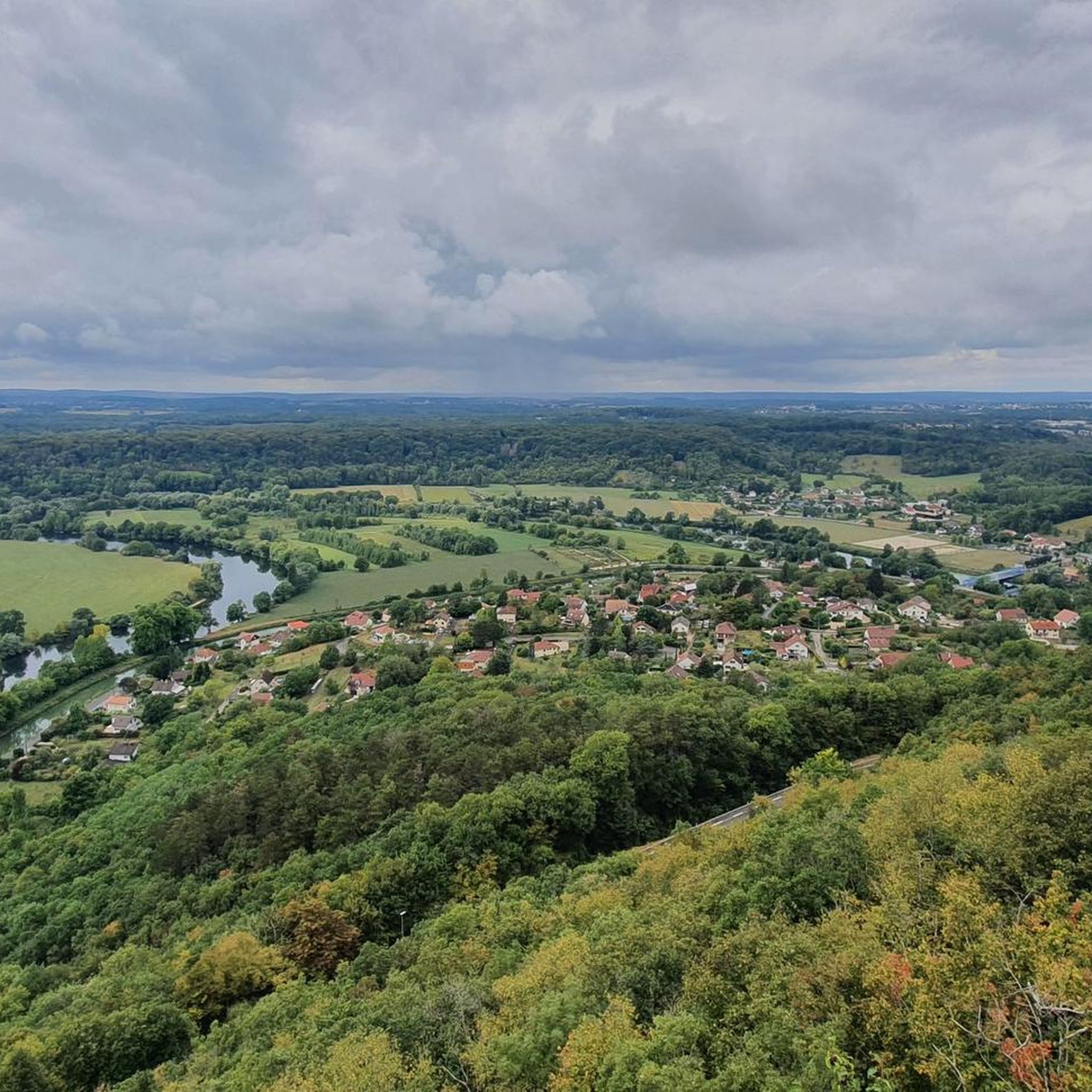
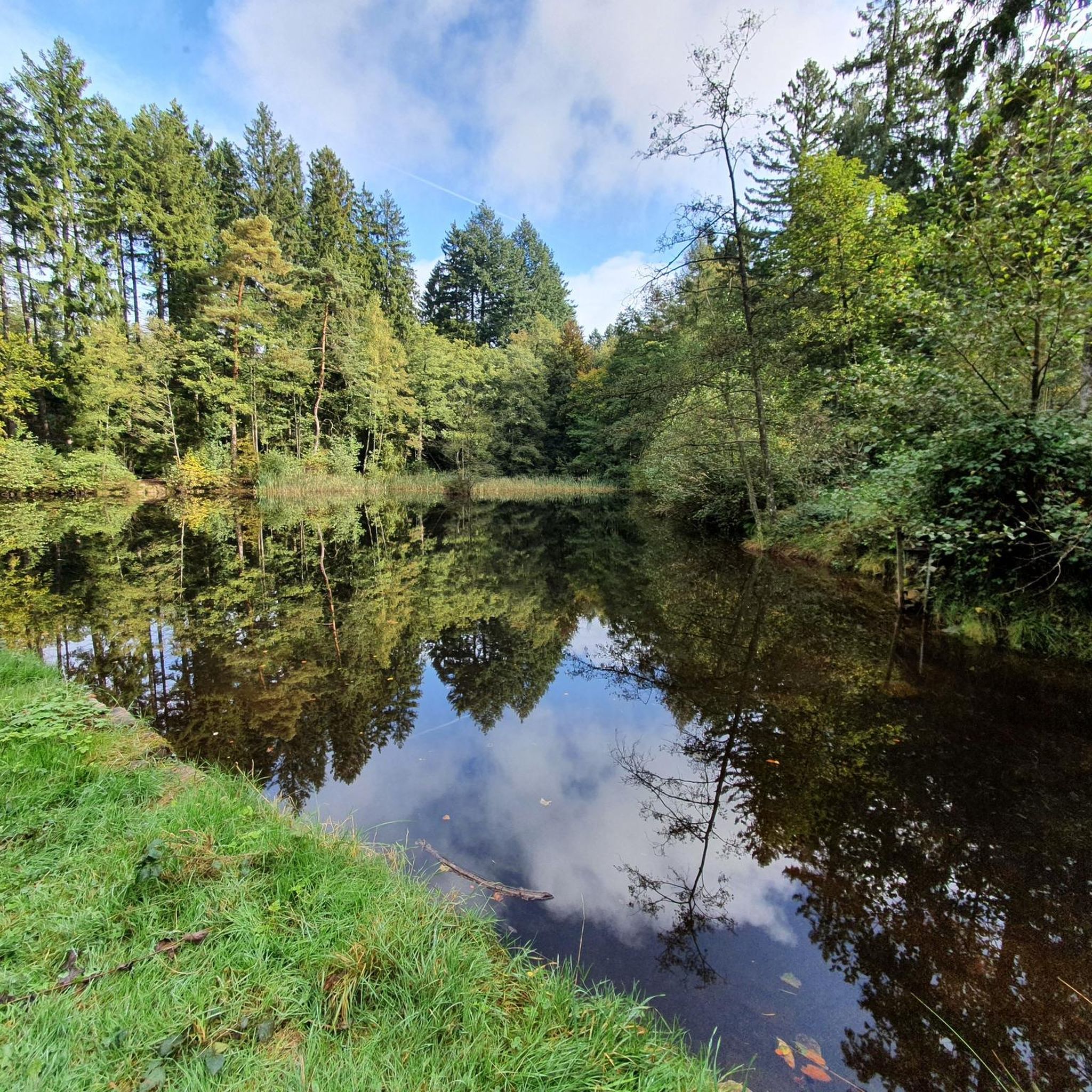
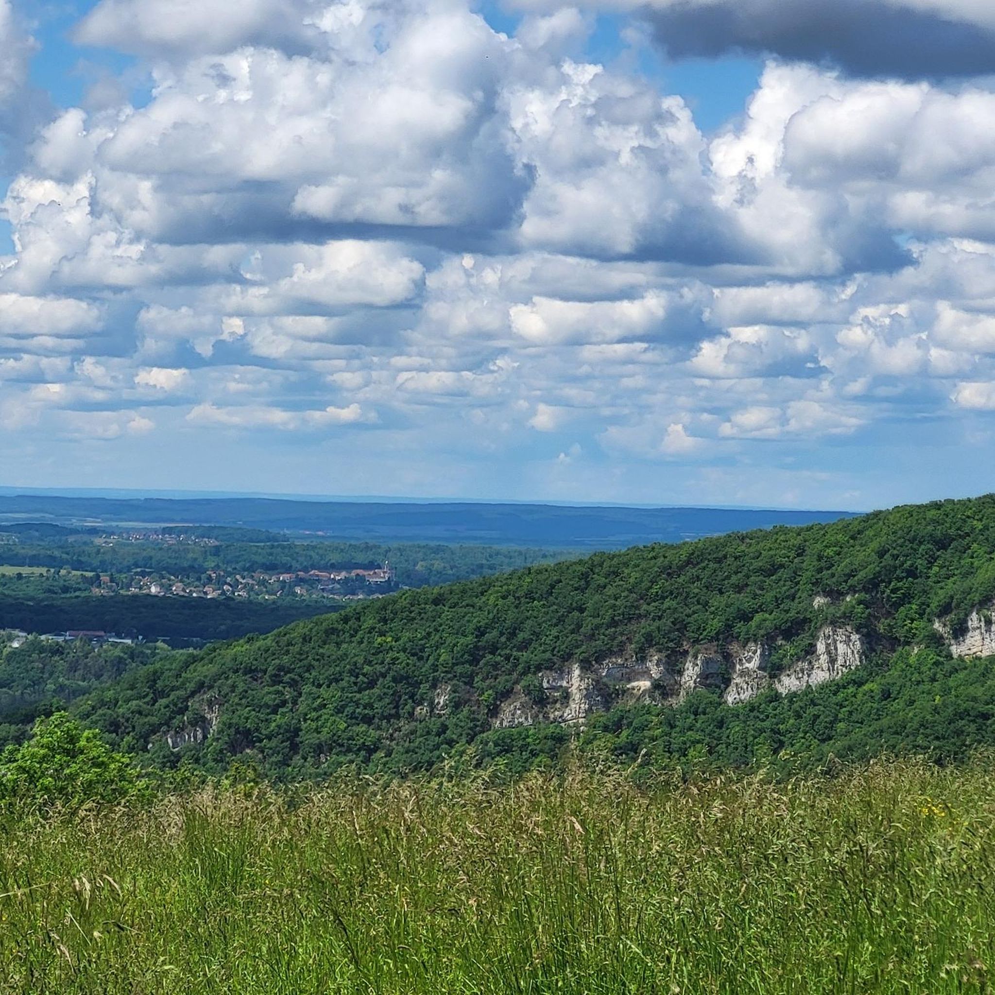
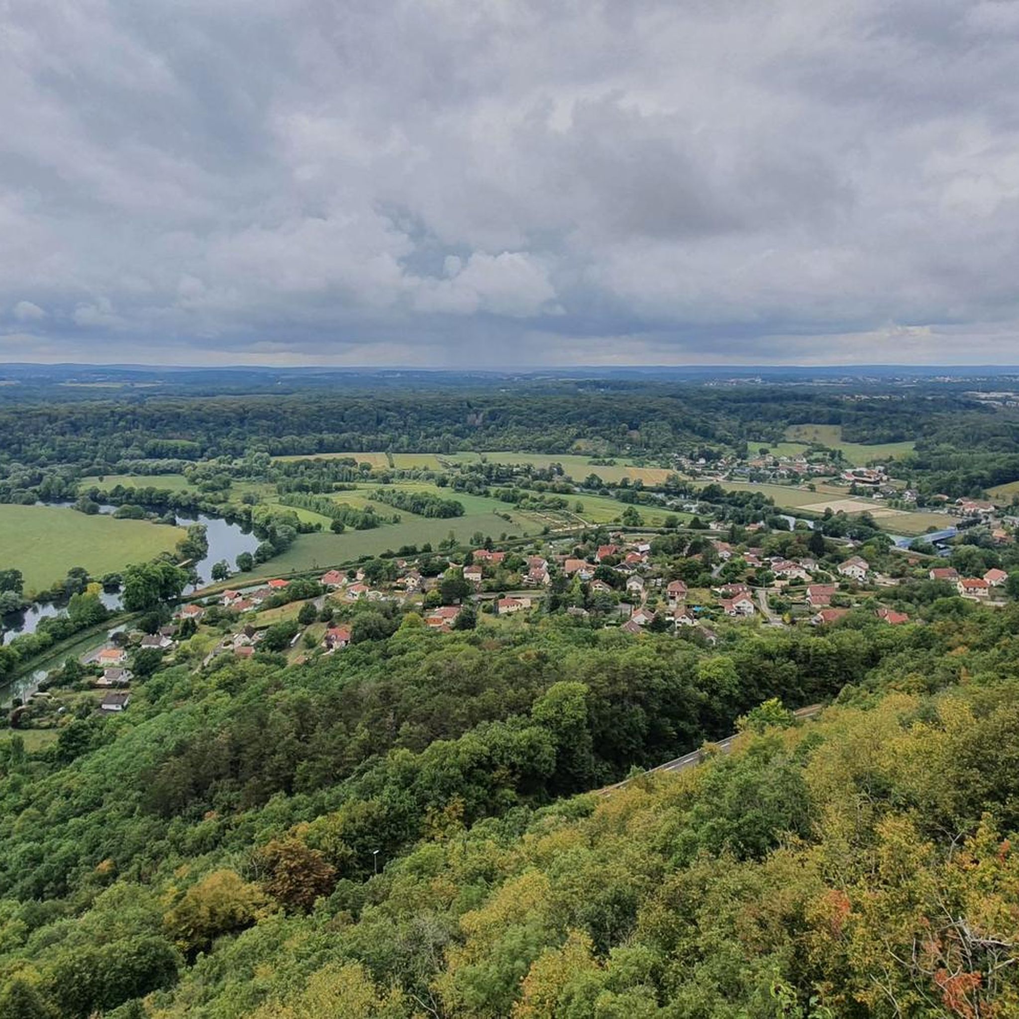
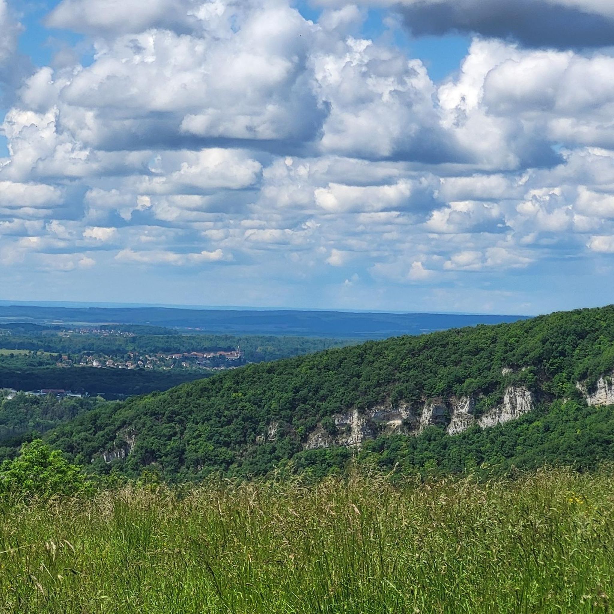
Hiking around Pugey offers access to the natural landscapes of the Doubs department in eastern France. The area is characterized by varying elevations, ranging from 335 to 485 meters, and features forests and the Doubs River. Nearby, karst relief with dolines and lapiaz can be found, contributing to diverse walking environments. While Pugey is a small rural community, its surroundings provide opportunities for outdoor exploration.
Best hiking trails around Pugey
- The most popular hiking route is The Cascade du Bout…
Last updated: July 6, 2026
4.1
(46)
153
hikers
6.12km
01:52
210m
210m
Hike the moderate 3.8-mile Cascade du Bout du Monde loop from Beure to see a 50-meter waterfall, gorges, and an ancient Roman road.
4.5
(36)
102
hikers
9.59km
02:49
270m
270m
Hike the moderate 6.0-mile Le Rocher de Valmy loop from Arguel, featuring panoramic views, varied terrain, and historical landmarks.

Sign up for free
4.4
(10)
65
hikers
10.7km
03:09
280m
280m
Moderate hike. Good fitness required. Mostly accessible paths. Sure-footedness required.
5.0
(6)
49
hikers
8.12km
02:24
240m
240m
Moderate hike. Good fitness required. Easily-accessible paths. Suitable for all skill levels.
5.0
(4)
36
hikers
12.5km
03:36
280m
280m
Moderate hike. Good fitness required. Mostly accessible paths. Sure-footedness required.
Get access to more routes and recommendations from other explorers.
Sign up for free
Already have an account?
Our route recommendations are based on thousands of hikes, rides, and runs completed by other people on komoot.
Start today with a free account
Your next adventure awaits.
Login or Signup
Tips from the Community

The waterfall is impressive even when it's carrying little water. Unfortunately, it can only be seen from the small path leading down from the road. The area at the base of the waterfall is private and extensively fenced. I found that a shame.
0
0

The Chapelle Notre-Dame des Buis, also known as the chapelle des Buis, is a Christian building dating back to at least the 17th century. It is located in Besançon, in the La Boucle district, and is considered one of the most remarkable chapels in the city. History: Although no official documentation is available, it is believed that the site may have housed a small temple to Mercury in Roman times, or perhaps even a cave where a hermit named Saint Leonard resided. A 13th-century hermitage stood on this site before the current chapel was built, sometime between the 17th and 19th centuries. After being damaged in 1815, the chapel was restored and expanded in 1865. Architecture: The chapel consists of three stacked plinths with stairs on all four sides. On top is a cube-shaped block with a statue of a woman raising her arms to the sky, symbolizing resurrected freedom. The Chapelle Notre-Dame des Buis is a place of historical significance and a tribute to those who have prayed and reflected here over the centuries. 🙏🕊️
8
0

The area around the waterfall is cordoned off, so that it is actually inaccessible and can only be seen from afar. The "standing seats" that have been set up are friendly, but do not really add value to the barbed wire. You can get closer to the waterfall from above, but you should do this with caution!!
1
0

Notre-Dame de la Libération is a site of memory built on the Mont des Buis inside the ditches of an old fort which dominates the city of Besançon. After the Second World War, in 1949, a place of commemoration and memory was built on the site of Fort des Buis-est. A crypt is topped with a statue of the Virgin Mary. Inside the crypt, there are the names of the 5,500 Besançon people who died during the war.
0
0

The Notre-Dame des Buis chapel, commonly known as the Buis chapel, is a Christian building dating from at least the 17th century. The site in which it is placed as well as its architecture make it one of the most remarkable chapels in the city. Established on a ridge above the Saint-Étienne hill, the sector was a busy route of passage, a strategic military site. It has become a spiritual center and an exceptional environmental space. La Chapelle des Buis, despite its isolation and small demographics, enjoys a rich environmental and architectural heritage, with its thick forest, its places of worship and its countless statues. The chapel is located in the hamlet of Chapelle des Buis, on the edge of a small cliff more than 470 m high. In front of it stands one of the most beautiful panoramas of Besançon and the citadel of Besançon. About 400 m away is Notre-Dame de la Libération. Wikipedia
0
0

The Mémorial Notre-Dame de la Libération in the Chapelle des Buis is a memorial site erected in memory of the victims of the Second World War. The Mémorial Notre-Dame de la Libération is located on the Mont des Buis, within the moats of a former fortress, which overlooks the city of Besançon at an altitude of almost 500 meters. This memorial dominates the city and houses a crypt with more than 5,500 names engraved in stone. These names represent both civilian and military victims from the departments of Doubs, Haute Saône and Territoire de Belfort. The Mémorial Notre-Dame de la Libération is a place of memory and tribute to those who gave their lives during one of the most turbulent periods in history. A religious and military ceremony is held annually on September 1 at this special place to commemorate the victims.
8
0
First of all, here you have a beautiful official viewpoint
7
0
Frequently Asked Questions
How many hiking trails are available around Pugey?
There are over 330 hiking trails around Pugey, offering a wide range of options for different skill levels and preferences. This includes 137 easy routes, 166 moderate trails, and 32 more challenging hikes.
Are there any circular walks near Pugey?
Yes, many trails around Pugey are circular, allowing you to start and end at the same point. For example, the The Cascade du Bout du Monde — loop from Beure is a popular circular route that descends to the Doubs River and ascends through a forest.
What kind of natural landmarks can I see while hiking near Pugey?
The region around Pugey features several natural landmarks. You can discover the impressive Bout du Monde Waterfall, explore the unique karst relief with dolines and lapiaz, or visit The Holed Rock, a natural monument near Arguel.
Are there any historical sites or viewpoints accessible from the trails?
Yes, hikers can combine their walks with visits to historical sites and viewpoints. The iconic Citadel of Besançon, a UNESCO World Heritage site, offers panoramic views and is visible from various points, including a greenway along the Doubs River. You can also find the Liberation Monument on some routes.
What do other hikers say about the trails around Pugey?
The hiking trails around Pugey are highly regarded by the komoot community, with an average rating of 4.5 stars from over 740 reviews. Hikers often praise the varied scenery, the proximity to the Doubs River, and the well-maintained paths through local forests.
Are there any trails suitable for families with children?
While specific 'family-friendly' designations aren't always explicit, Pugey offers 137 easy routes that are generally suitable for families. These trails typically have less elevation gain and shorter distances, making them more accessible for children. The Larnod Discovery Trail, though moderate, offers varied scenery that can keep younger hikers engaged.
Can I bring my dog on the hiking trails in Pugey?
Many trails in the Pugey area are dog-friendly, but it's always recommended to keep your dog on a leash, especially in forested areas or near wildlife. Always check local signage for any specific restrictions on individual routes.
Are there any trails that feature waterfalls?
Yes, the area is known for the Bout du Monde Waterfall. You can experience it on routes like the Bout du Monde Waterfall – Mont des Buis loop from Beure, which leads through forested areas and past this natural attraction.
What is the best time of year to go hiking in Pugey?
Pugey offers hiking opportunities throughout the year. Spring and autumn provide pleasant temperatures and beautiful scenery, with autumn bringing vibrant colors to the forests. Summer is also popular, though some trails might be more exposed to the sun. Winter hiking is possible, but snow conditions should be checked for higher elevations.
Are there trails that offer views of the Doubs River?
Yes, the Doubs River is a prominent feature of the landscape around Pugey. Several trails incorporate descents to the river or follow its banks, offering scenic views. The The Cascade du Bout du Monde — loop from Beure, for instance, includes a descent to the Doubs River.
Are there any longer, more challenging hikes available?
While many trails are moderate, there are 32 difficult routes for experienced hikers seeking a greater challenge. These trails typically cover longer distances and involve more significant elevation changes. For a moderate but longer option, consider the Our Lady of the Boxwoods – Liberation Memorial loop from Beure, which is over 12 kilometers long.
What kind of terrain can I expect on the trails around Pugey?
The terrain around Pugey is diverse, characterized by varying elevations ranging from 335 to 485 meters. You can expect to encounter forests, sections along the Doubs River, and areas with unique karst relief, including dolines and lapiaz, particularly in the meadows and woods near Arguel.
Most popular attractions around Pugey

Get inspired with the komoot mobile app


Explore more
Browse the best Hikes in other regions.
