The best running trails around Caupenne-D'Armagnac
5.0
(1)
130
runners
44
runs
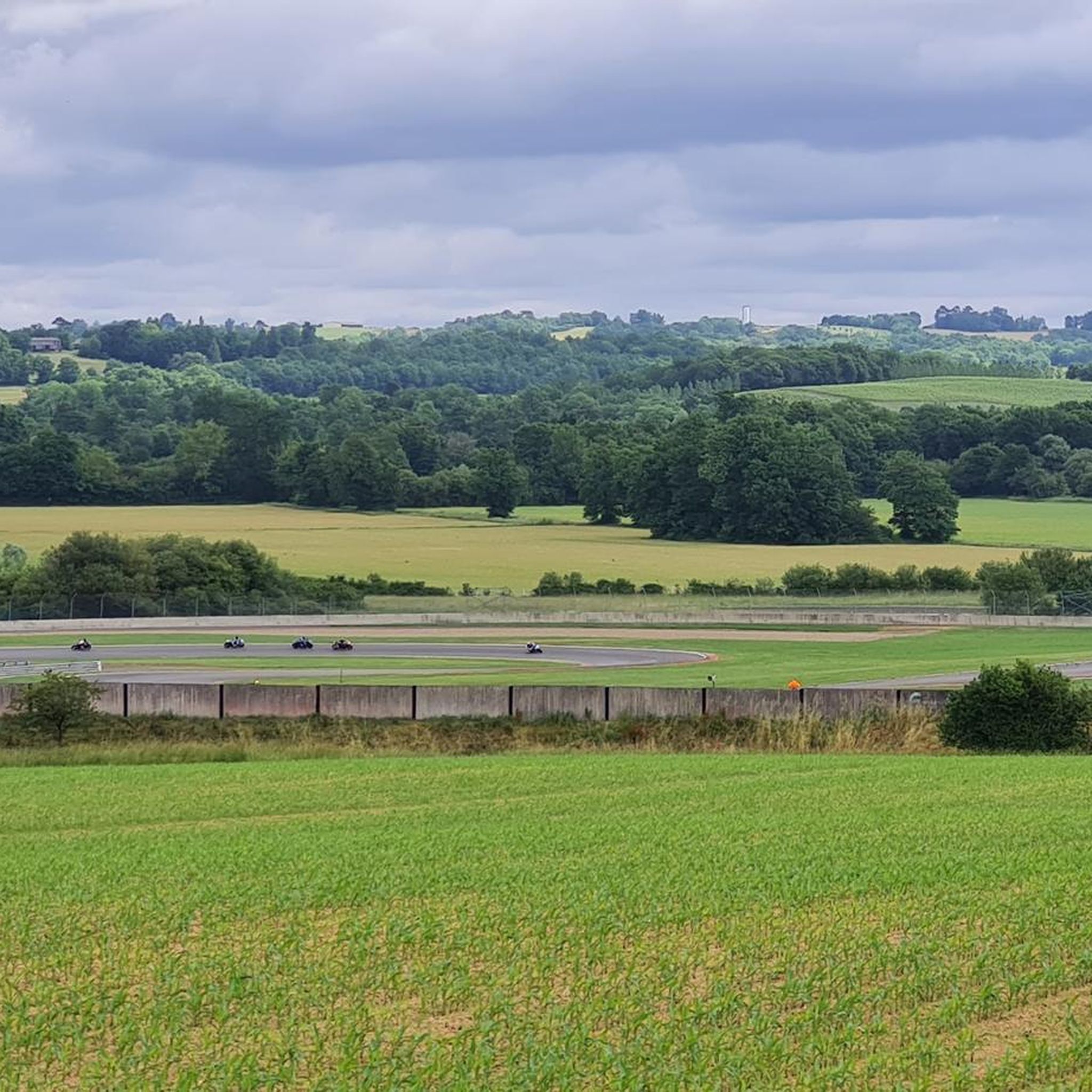
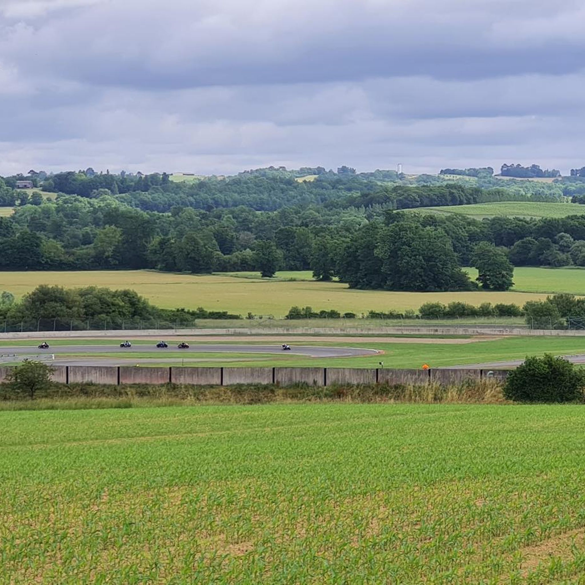
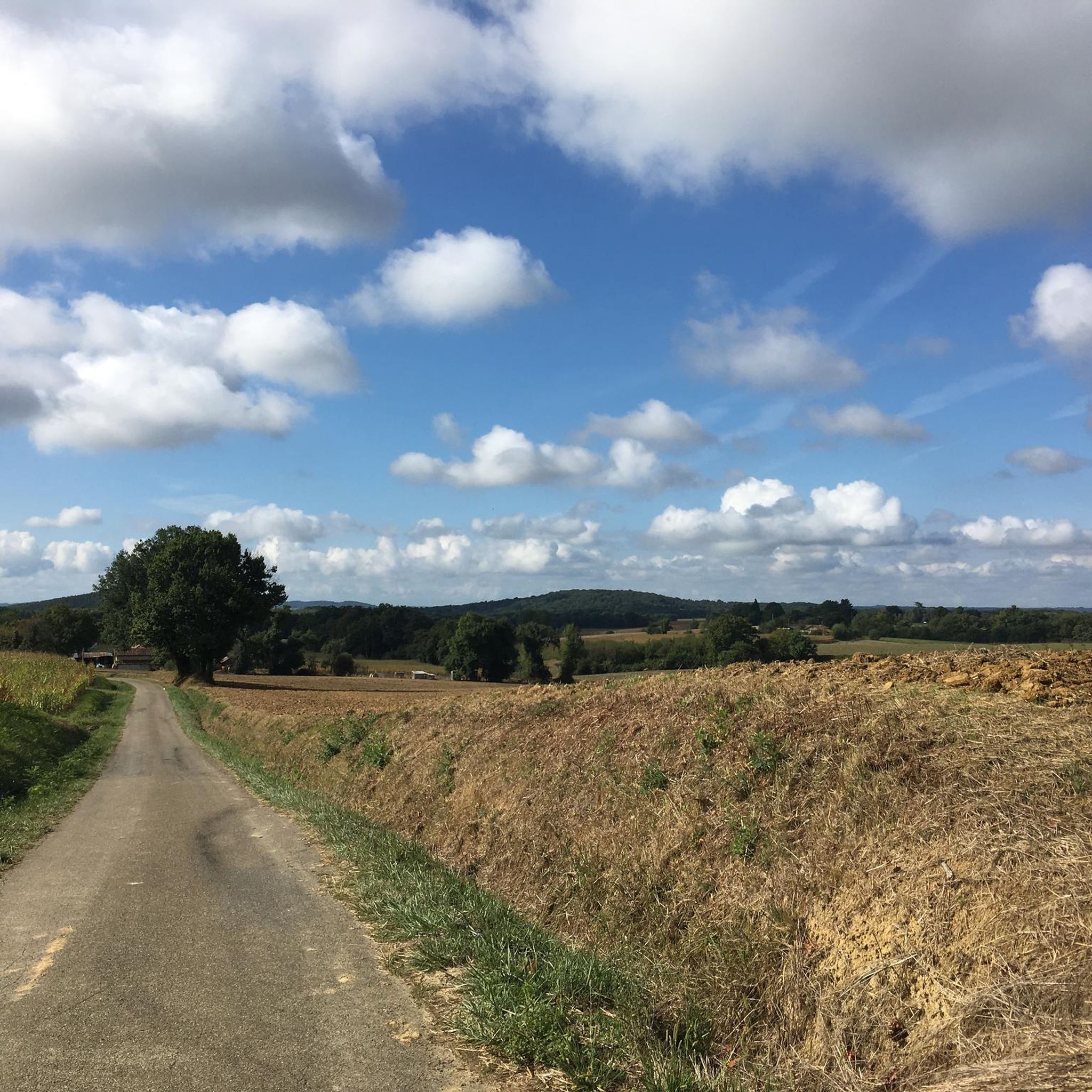
Jogging around Caupenne-D'Armagnac offers routes through the Bas-Armagnac region, characterized by its rolling countryside, hills, and river valleys. The landscape features vineyards, forests, and agricultural land, providing varied terrain for runners. This area, situated between the Auzoue, Gélise, Douze, and Midou rivers, presents a mix of gentle gradients and occasional climbs.
Best jogging routes around Caupenne-D'Armagnac
- The most popular jogging route is Running loop from La Mothe, a 5.6 miles (9.0 km) trail that takes about 57 minutes to…
Last updated: July 8, 2026
3
runners
6.40km
00:41
80m
80m
Moderate run. Good fitness required. Mostly paved surfaces. Suitable for all skill levels.
3
runners
9.00km
00:56
70m
70m
Moderate run. Good fitness required. Mostly paved surfaces. Suitable for all skill levels.

Sign up for free
3
runners
7.39km
00:47
70m
70m
Moderate run. Good fitness required. Mostly paved surfaces. Suitable for all skill levels.
4
runners
13.5km
01:25
120m
120m
Moderate run. Good fitness required. Mostly paved surfaces. Suitable for all skill levels.
5.0
(1)
2
runners
5.44km
00:34
60m
60m
Moderate run. Good fitness required. Mostly paved surfaces. Suitable for all skill levels.
Get access to more routes and recommendations from other explorers.
Sign up for free
Already have an account?
Our route recommendations are based on thousands of hikes, rides, and runs completed by other people on komoot.
Start today with a free account
Your next adventure awaits.
Login or Signup

Frequently Asked Questions
How many running routes are available in Caupenne-D'Armagnac?
There are over 45 running routes in Caupenne-D'Armagnac, offering a wide range of options for different skill levels. You'll find everything from easy paths to more challenging trails with elevation changes.
What kind of terrain can I expect on the jogging routes in Caupenne-D'Armagnac?
The terrain in Caupenne-D'Armagnac is characterized by its rolling countryside, featuring hills, forests, vineyards, and agricultural land. You'll encounter a mix of gentle gradients and occasional climbs, with some routes offering significant elevation changes, providing a good challenge for runners.
Are there any scenic landmarks or points of interest along the running trails?
While jogging, you'll experience the tranquil beauty of the Bas-Armagnac region, with its picturesque vineyards, especially around the Domaine de Joÿ. The landscape also features charming villages and offers magnificent views of the Pyrenees from certain vantage points, such as near the Château d'Izaute. The area is also part of the 'Midou and Ludon hydrographic network' Natura 2000 site, highlighting its natural heritage.
Are there many circular running routes in the area?
Yes, many of the running paths in Caupenne-D'Armagnac are designed as loops, allowing you to start and finish at the same point. For example, you can explore the Running loop from La Mothe or the Running loop from Nogaro, both offering scenic circular experiences.
What is the best time of year to go jogging in Caupenne-D'Armagnac?
The region benefits from an oceanic climate with Pyrenean influences, making spring and autumn particularly pleasant for jogging. During these seasons, the weather is generally mild, and the vineyards offer beautiful changing colors. Summer can be warm, so early mornings or late evenings are recommended, while winter runs are possible but may require checking local conditions.
Are the running routes in Caupenne-D'Armagnac suitable for families?
Yes, there are several routes suitable for families, especially those looking for easier, shorter paths. The 'Autour de Caupenne' routes, for instance, offer accessible options around 4-5 km, perfect for a leisurely run or walk with children. Always check the route details for distance and elevation to ensure it matches your family's fitness level.
Can I bring my dog on the running trails?
Many trails in the rural setting of Caupenne-D'Armagnac are generally dog-friendly, especially those through forests and open countryside. However, it's always advisable to keep your dog on a leash, particularly near agricultural areas or livestock, and to respect local regulations and private property signs.
Where can I park when accessing the jogging routes?
Parking is typically available in or near the starting points of many routes, especially in the villages or designated areas. For example, routes like the Running loop from Circuit Paul Armagnac often have accessible parking nearby. It's recommended to check specific route details for precise parking information.
What do other runners enjoy most about jogging in Caupenne-D'Armagnac?
The running routes in Caupenne-D'Armagnac are highly rated by the komoot community, with an average score of 5.0 stars. Reviewers often praise the serene rural landscape, the varied terrain through vineyards and forests, and the peaceful atmosphere that makes for an enjoyable running experience away from crowds.
Are there any longer running routes for more experienced runners?
Absolutely. While many routes are moderate, there are options for longer distances and more significant elevation gains. For instance, the Running loop from Nogaro covers over 14 km with a notable elevation gain, providing a good challenge for experienced runners looking to push their limits.
Are there any amenities like cafes or shops near the running trails?
While Caupenne-D'Armagnac itself is a small village, nearby towns like Eauze (about 16 km away) offer more amenities, including cafes, restaurants, and shops. You might find smaller local establishments in some of the villages along the routes, but it's always a good idea to carry water and snacks, especially on longer runs.
Can I reach the trails using public transport?
Public transport options directly to the starting points of many rural trails in Caupenne-D'Armagnac are limited. The region is best explored by car, which allows for greater flexibility in accessing various trailheads. However, local bus services might connect larger towns in the Gers department, from which you could potentially access some routes.

Get inspired with the komoot mobile app


Explore more
Browse the best Running Trails & Routes in other regions.
