The best walks and hikes around Longecourt-Lès-Culêtre
4.5
(139)
734
hikers
47
hikes
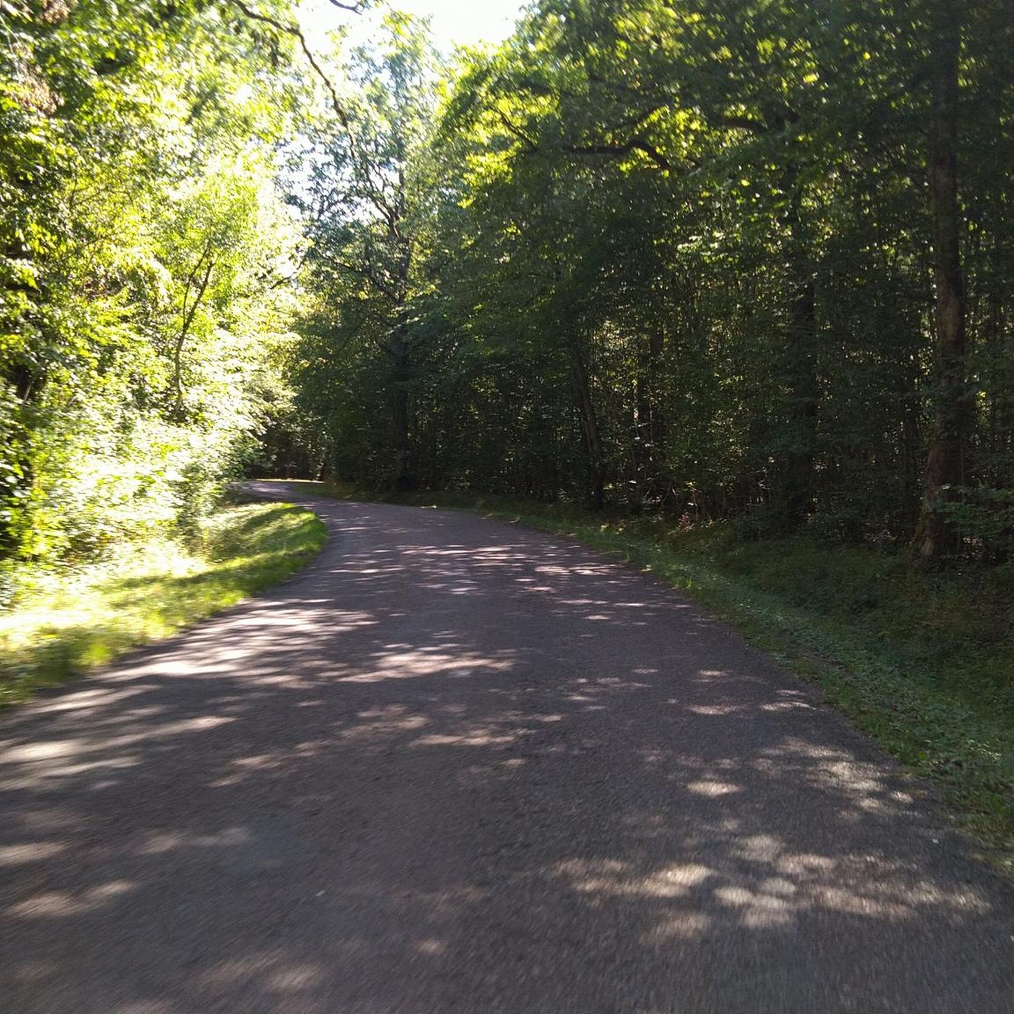
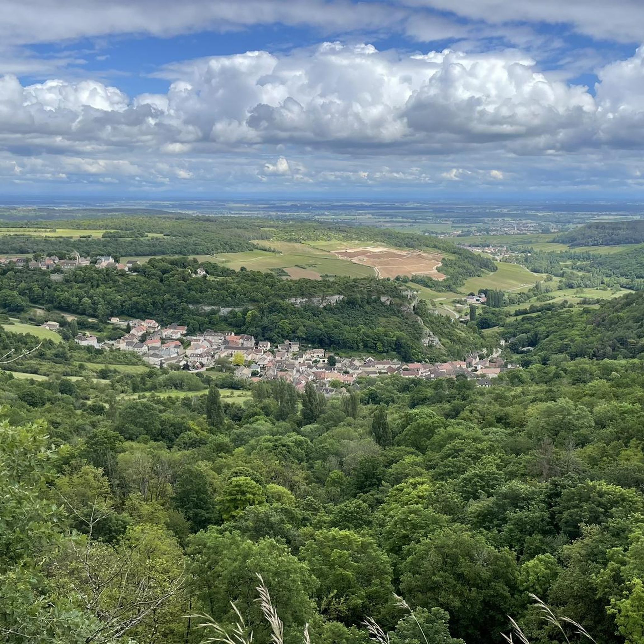
Hiking around Longecourt-Lès-Culêtre offers access to a landscape characterized by gentle terrain and a network of water features, including ponds and small dams. The region's trails often loop around these water bodies, providing relatively flat paths with minimal elevation gain. This area is suitable for those seeking accessible outdoor experiences amidst a tranquil natural setting.
Best hiking trails around Longecourt-Lès-Culêtre
- The most popular hiking route is L'étang de Fouché — loop, a 2.8 miles (4.5 km) trail that takes…
Last updated: July 6, 2026
4.3
(6)
20
hikers
4.49km
01:10
30m
30m
Easy hike. Great for any fitness level. Easily-accessible paths. Suitable for all skill levels.
4.9
(20)
159
hikers
3.22km
00:50
20m
20m
Easy hike. Great for any fitness level. Easily-accessible paths. Suitable for all skill levels.

Sign up for free
4.5
(4)
19
hikers
7.11km
01:53
70m
70m
Easy hike. Great for any fitness level. Easily-accessible paths. Suitable for all skill levels.
4.3
(3)
12
hikers
6.72km
01:48
70m
70m
Easy hike. Great for any fitness level. Easily-accessible paths. Suitable for all skill levels.
4.8
(5)
18
hikers
4.14km
01:06
40m
40m
Easy hike. Great for any fitness level. Easily-accessible paths. Suitable for all skill levels.
Get access to more routes and recommendations from other explorers.
Sign up for free
Already have an account?
Our route recommendations are based on thousands of hikes, rides, and runs completed by other people on komoot.
Start today with a free account
Your next adventure awaits.
Login or Signup


Tips from the Community

Fouché, Camping Huttopia Etang de, Rue du 8 Mai 1945, 21230 Arnay-le-Duc, France
0
0

It looks like there isn't really a walking trail here but just go for a walk
0
0
The reservoir behind it is now a closed fishing lake and is not freely accessible
0
0
The name is still clearly visible on the side
0
0
The best reason to walk here is that there is hardly anyone else walking here. Really alone with nature.
1
0
There are many benches around the lake with beautiful views of the water and the surroundings
0
0
It is a closed fishing community, but the old wall is certainly worth seeing as it is many hundreds of years old.
0
0
Frequently Asked Questions
How many hiking trails are available in Longecourt-Lès-Culêtre?
There are over 40 hiking routes recorded in Longecourt-Lès-Culêtre on komoot, offering a variety of options for different preferences. The majority, 23, are rated as easy, with 15 moderate and 3 difficult trails.
Are there easy hiking trails suitable for beginners in Longecourt-Lès-Culêtre?
Yes, Longecourt-Lès-Culêtre is well-suited for beginners and those seeking gentle walks. The region features accessible, relatively flat paths with minimal elevation gain. An excellent option is the Oud station – Étang de Fouché loop from Arnay-le-Duc, an easy 6.7 km route.
What is the typical duration for hikes in Longecourt-Lès-Culêtre?
Hike durations vary depending on the route's length and your pace. Many popular trails are relatively short, ranging from 1 to 2.5 hours. For instance, the moderate Oud station – Étang Barrot loop from Arnay-le-Duc, covering 8.7 km, typically takes around 2 hours 20 minutes.
Are there family-friendly walks in Longecourt-Lès-Culêtre?
Yes, the gentle terrain and numerous pond-side paths make Longecourt-Lès-Culêtre ideal for family walks. Many routes are easy and offer pleasant scenery without significant challenges, perfect for all ages.
Can I bring my dog on the hiking trails in Longecourt-Lès-Culêtre?
Most hiking trails in Longecourt-Lès-Culêtre are dog-friendly, especially those through natural areas and around the ponds. It's always recommended to keep your dog on a leash and be mindful of local regulations and other hikers.
What is the best season for hiking in Longecourt-Lès-Culêtre?
The region's trails are enjoyable throughout much of the year. Spring and autumn offer pleasant temperatures and beautiful scenery with changing foliage. Summer is also popular, especially around the water features, though it can be warmer. Winter hiking is possible, but some paths might be muddy or slippery.
Are there any circular walks available in Longecourt-Lès-Culêtre?
Yes, many of the routes in Longecourt-Lès-Culêtre are designed as circular walks, often looping around the various ponds and water bodies. This allows for convenient exploration without needing to retrace your steps.
What can I see along the hiking trails in Longecourt-Lès-Culêtre?
Beyond the tranquil ponds and natural landscapes, you can explore nearby historical sites. Consider visiting the impressive Château de Châteauneuf or the charming Medieval village with a castle, both offering a glimpse into the region's rich heritage.
What do other hikers enjoy the most about hiking in Longecourt-Lès-Culêtre?
The area is highly rated by the komoot community, with an average score of 4.6 stars from over 130 reviews. Reviewers often praise the tranquil pond-side paths, the gentle elevation changes, and the accessible routes that make hiking enjoyable for all skill levels.
Are there any less crowded trails for a peaceful hike?
While specific crowd levels can vary, the region offers numerous trails, and it's often possible to find quieter paths, especially during off-peak hours or by exploring some of the less-trafficked routes away from the main pond loops. The overall character of the area is tranquil.
Is public transport available to access the hiking trails?
Information on specific public transport links directly to trailheads is limited. It is generally recommended to use a car to reach the starting points of most hikes in the Longecourt-Lès-Culêtre area, particularly for flexibility.
Are there any cafes or places to eat after a hike?
While Longecourt-Lès-Culêtre itself is a small commune, nearby towns like Arnay-le-Duc offer a selection of cafes and restaurants where you can relax and refuel after your hike. It's a good idea to check opening times in advance.
Most popular routes around Longecourt-Lès-Culêtre
Most popular attractions around Longecourt-Lès-Culêtre

Get inspired with the komoot mobile app


Explore more
Browse the best Hikes in other regions.
