The best walks and hikes around Laroquevieille
4.4
(434)
3,378
hikers
113
hikes
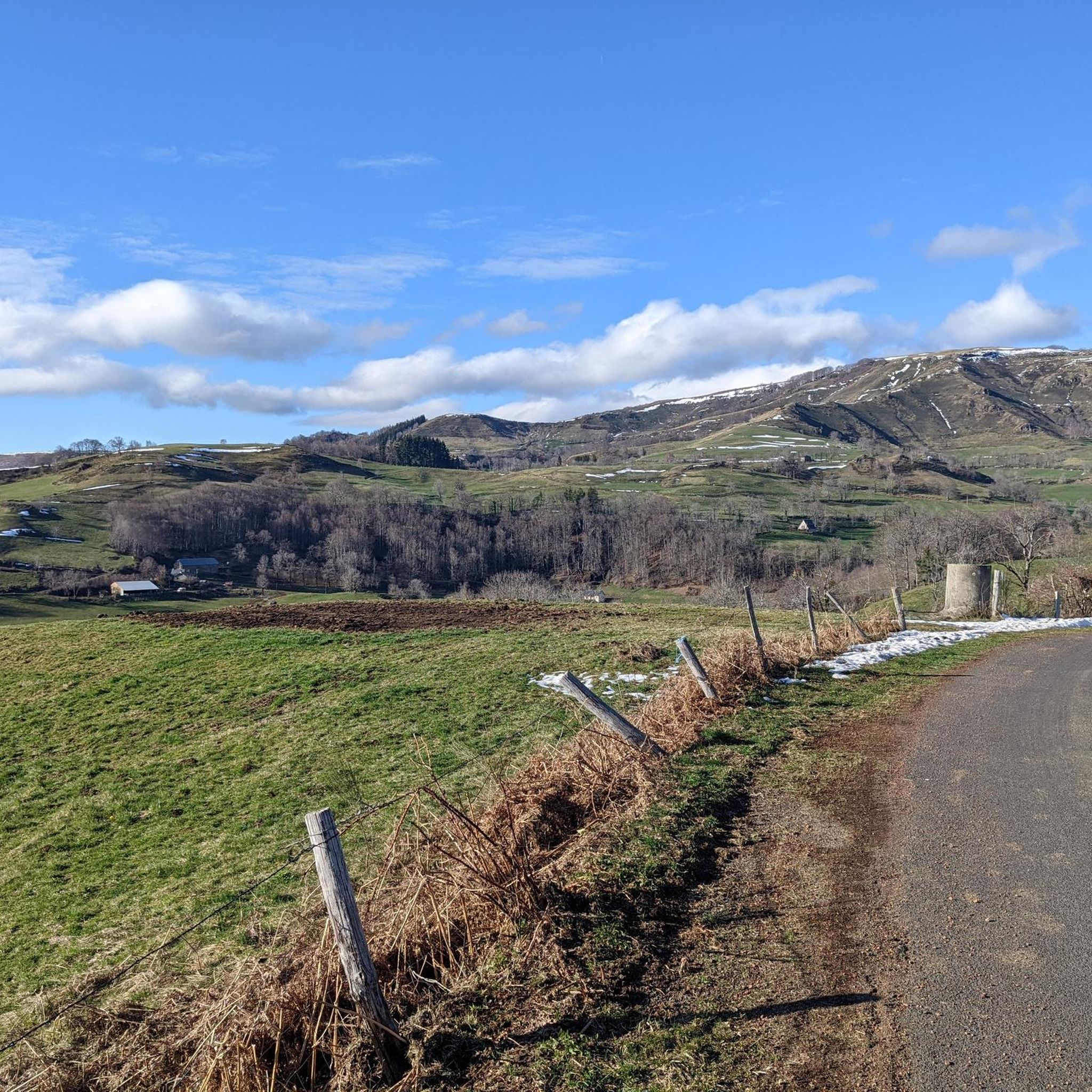
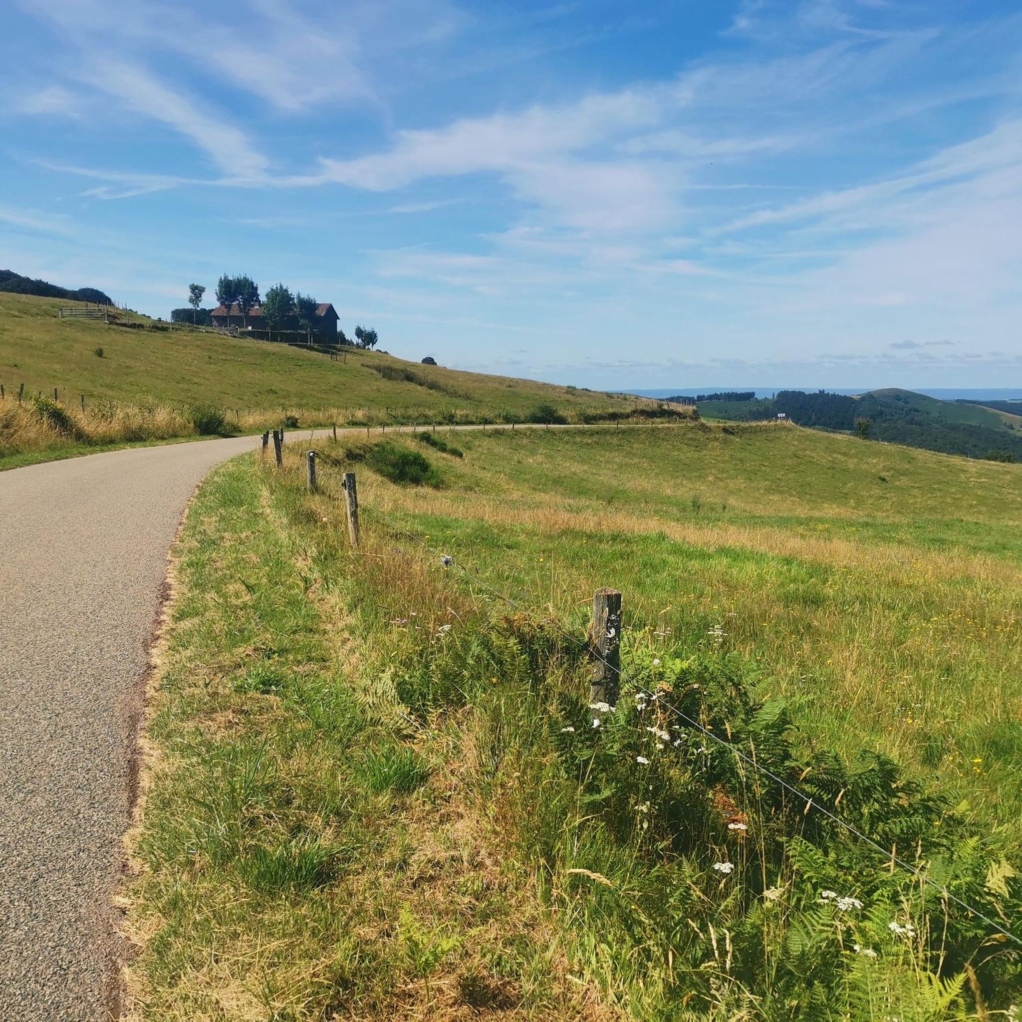
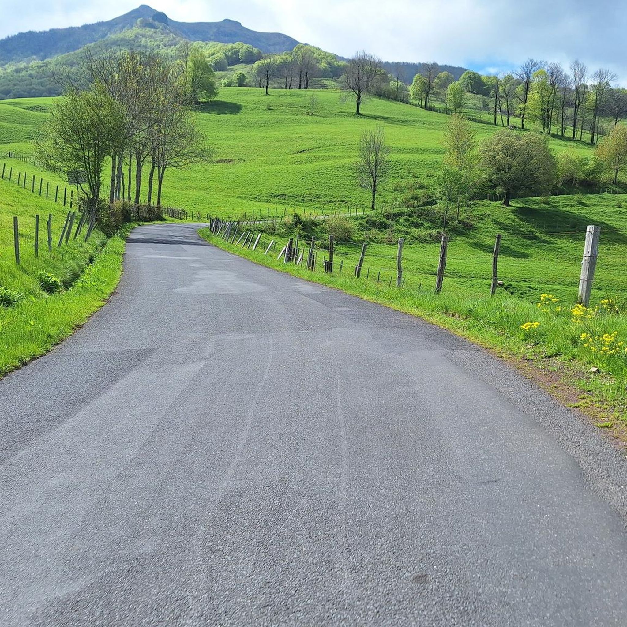
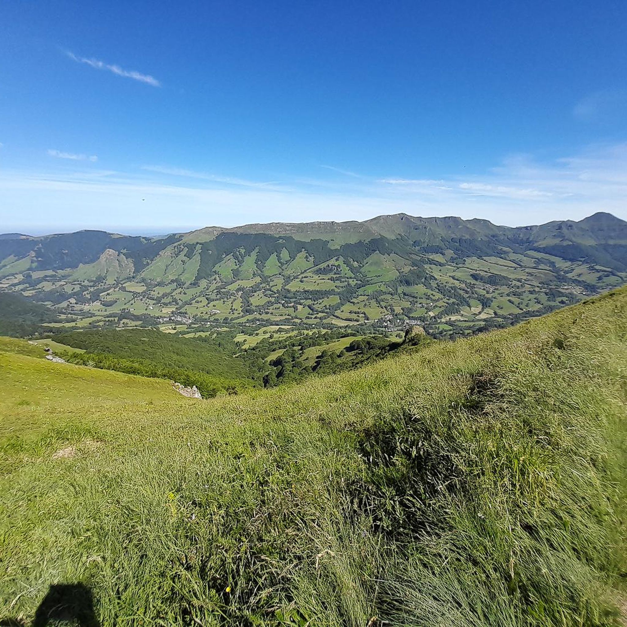
Hiking around Laroquevieille offers exploration within the Cantal department, situated in Europe's largest volcano. The region is characterized by its volcanic and mountainous terrain, featuring ancient dormant volcanoes, lush forests, and deep valleys. Notable natural features include the Gorges de la Jordanne, the Cère Valley, and the Jordanne Valley, alongside extensive prairies and forests, providing varied elevation and natural features for hikers.
Best hiking trails around Laroquevieille
- The most popular hiking route is Jordanne gorges – Lake des Graves loop…
Last updated: June 29, 2026
4.6
(5)
28
hikers
11.5km
03:36
440m
440m
Moderate hike. Good fitness required. Easily-accessible paths. Suitable for all skill levels.
4.7
(3)
63
hikers
15.0km
04:28
430m
430m
Moderate hike. Good fitness required. Mostly accessible paths. Sure-footedness required.

Sign up for free
5.0
(4)
28
hikers
7.38km
02:15
260m
250m
Moderate hike. Good fitness required. Easily-accessible paths. Suitable for all skill levels.
4.0
(1)
18
hikers
6.07km
02:02
250m
250m
Moderate hike. Good fitness required. Mostly accessible paths. Sure-footedness required.
5.0
(1)
9
hikers
8.73km
02:35
240m
240m
Moderate hike. Good fitness required. Easily-accessible paths. Suitable for all skill levels.
Get access to more routes and recommendations from other explorers.
Sign up for free
Already have an account?
Our route recommendations are based on thousands of hikes, rides, and runs completed by other people on komoot.
Start today with a free account
Your next adventure awaits.
Login or Signup
Tips from the Community


Small entrance fee (2024): Adult 4.00 EUR Child 1.50 EUR Set price group adults 3.50 EUR Set price group children 1.00 EUR
0
0

The Jordanne Valley is a lush green valley that was formed as a glacial valley of the Puy Mary. A path through the dense greenery runs through the Jordanne Gorge, stretching for more than 3 km between the communities of Saint-Julien and Saint-Cirgues. A path with small footbridges and bridges allows visitors to discover this beautiful place and takes them deep into the gorge. There is a fee to enter.
1
0

Located in the heart of the Jordanne valley, Lac des Graves displays an exceptional and preserved setting. It's an ideal place for a walk or nap by the water!
0
0

This small village is worth a stop to enjoy the natural site of the refreshing gorges of the Jordanne. A very well laid out path with wooden footbridges allows you to walk along the river.
1
0
Frequently Asked Questions
What kind of terrain can I expect when hiking around Laroquevieille?
Laroquevieille is situated within Europe's largest volcano, offering a diverse landscape. You'll find volcanic and mountainous terrain with ancient dormant volcanoes, lush forests, and deep valleys. Notable features include the dramatic Gorges de la Jordanne, the serene Cère Valley, and the Jordanne Valley, alongside extensive prairies. The region provides varied elevation and natural features, from gentle slopes to more challenging ascents.
Are there easy hiking trails suitable for beginners or families in Laroquevieille?
Yes, Laroquevieille offers a good selection of easy trails. There are 26 easy routes available, perfect for beginners or families. An example is the Chapelle de Roquenatou loop from Marmanhac, which is 4.2 miles (6.8 km) long and features moderate elevation changes.
What are some notable natural features or landmarks to look out for on hikes?
The region is rich in natural beauty and historical sites. You can explore the unique Jordanne gorges, known for its footbridges and suspension bridges. The Monts du Cantal offer breathtaking panoramas, and the 'Plateau de Girgols' is a wild and magnificent area. You might also encounter picturesque waterfalls like the Cascade du Trou de la Conche or the Cascade de Liadouze.
Are there any circular hiking routes available?
Yes, many routes around Laroquevieille are designed as loops, allowing you to start and end in the same location. For instance, the Jordanne gorges – Lake des Graves loop from Lascelle is a popular 9.3-mile (15.0 km) circular trail. Another option is the Lake des Graves loop from Lascelle, a shorter 4.1-mile (6.7 km) loop.
What is the best time of year to go hiking in Laroquevieille?
Laroquevieille experiences a mountainous climate. While hiking is enjoyable throughout the warmer months, spring and autumn offer pleasant temperatures and vibrant scenery. Spring brings blooming wildflowers, and autumn showcases stunning fall foliage across the volcanic landscapes and forests. Summers are generally warm and suitable for hiking, but it's always wise to check local weather forecasts.
Can I find trails that pass by historical sites or castles?
Absolutely. The region combines natural beauty with historical discovery. Trails like "La boucle des châteaux de la Cère" are known to pass by several castles, including Comblat, Pesteils, Clavières, and Vixouze. You can also find routes near historical monuments like the Saint-Pardoux church in Laroquevieille itself, or explore the picturesque village of Tournemire with its Château de Anjony.
Are there opportunities for wild swimming near hiking trails?
The Gorges de la Jordanne, a notable natural feature in the area, offers an 'unusual walk' with footbridges and suspension bridges. This area invites visitors to swim in deep gouffres or enjoy a peaceful picnic by the water, providing a refreshing option during your hike.
How long do hikes typically take around Laroquevieille?
Hike durations vary depending on the route's distance and difficulty. For example, the Jordanne gorges – Lake des Graves loop from Lascelle, a moderate 9.3-mile (15.0 km) trail, typically takes around 4 hours 29 minutes. Shorter, easy routes like the Chapelle de Roquenatou loop from Marmanhac (4.2 miles / 6.8 km) can be completed in about 1 hour 17 minutes.
What do other hikers say about the trails in Laroquevieille?
The hiking routes in Laroquevieille are highly rated by the komoot community, with an average score of 4.3 stars from over 400 reviews. More than 3000 hikers have used komoot to explore the varied terrain, often praising the stunning views of the Auvergne volcanoes, the tranquility of the forests, and the well-maintained paths.
Are there any trails that offer views of the Puy Mary?
Laroquevieille is situated close to the esteemed Puy Mary, which has been a Grand Site de France since 2012. Many trails in the Monts du Cantal region, which define the area, offer superb views of the Auvergne volcanoes, including glimpses of Puy Mary and the Chaîne des Puys, providing a truly unique setting for exploration.
How many hiking trails are available in total around Laroquevieille?
There are over 100 hiking trails available around Laroquevieille, offering a wide range of options for different skill levels and preferences. This includes 26 easy routes, 62 moderate routes, and 19 difficult routes.
Are there any specific trails that are particularly challenging?
Yes, for experienced hikers seeking a challenge, there are 19 difficult routes in the area. An example is the Sédaiges Castle – Chapelle de Roquenatou loop from Marmanhac, which is 11.4 miles (18.3 km) long with significant elevation changes, making it a demanding but rewarding hike.
Most popular attractions around Laroquevieille

Get inspired with the komoot mobile app


Explore more
Browse the best Hikes in other regions.
