The best walks and hikes around Alata
4.3
(1401)
11,538
hikers
185
hikes
Hiking around Alata offers access to a variety of landscapes, from coastal paths to inland hills. The region features diverse terrain suitable for different hiking preferences. Trails often lead through Mediterranean vegetation and offer views of the surrounding area.
Best hiking trails around Alata
- The most popular hiking route is Afa Trail, a 0.9 miles (1.4 km) trail that takes 22 minutes to complete. This easy route features minimal elevation gain.
- Another top favourite among local hikers is Hiking loop from Lava, an easy 1.9 miles (3.0 km) path. This loop offers a pleasant walk with moderate elevation changes.
- Local hikers also love the Villanova loop from Villanova, a 3.0 miles (4.9 km) trail leading through varied terrain, often completed in about 1 hour 32 minutes.
- Hiking around Alata is defined by coastal views, Mediterranean flora, and gentle hills. The network offers options for different ability levels, from short, easy walks to longer, more challenging routes.
- The routes in Alata are highly rated by the komoot community with an average score of 4.3 stars from more than 1,300 reviews. More than 11,000 hikers have used komoot to explore Alata's varied terrain.
Last updated: June 28, 2026
1.40km
00:23
20m
20m
Easy hike. Great for any fitness level. Easily-accessible paths. Suitable for all skill levels.
3.0
(9)
43
hikers
3.01km
00:56
100m
100m
Easy hike. Great for any fitness level. Easily-accessible paths. Suitable for all skill levels.

Sign up for free
4.3
(6)
67
hikers
4.90km
01:32
180m
180m
Easy hike. Great for any fitness level. Easily-accessible paths. Suitable for all skill levels.
5.0
(3)
26
hikers
8.07km
02:31
290m
290m
Moderate hike. Good fitness required. Easily-accessible paths. Suitable for all skill levels.
5.0
(1)
53
hikers
10.4km
03:32
540m
540m
Moderate hike. Good fitness required. Easily-accessible paths. Suitable for all skill levels.
Get access to more routes and recommendations from other explorers.
Sign up for free
Already have an account?
Our route recommendations are based on thousands of hikes, rides, and runs completed by other people on komoot.
Start today with a free account
Your next adventure awaits.
Login or Signup
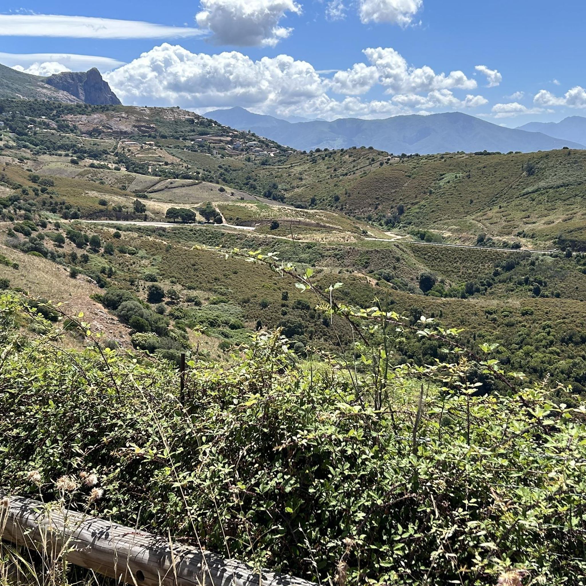
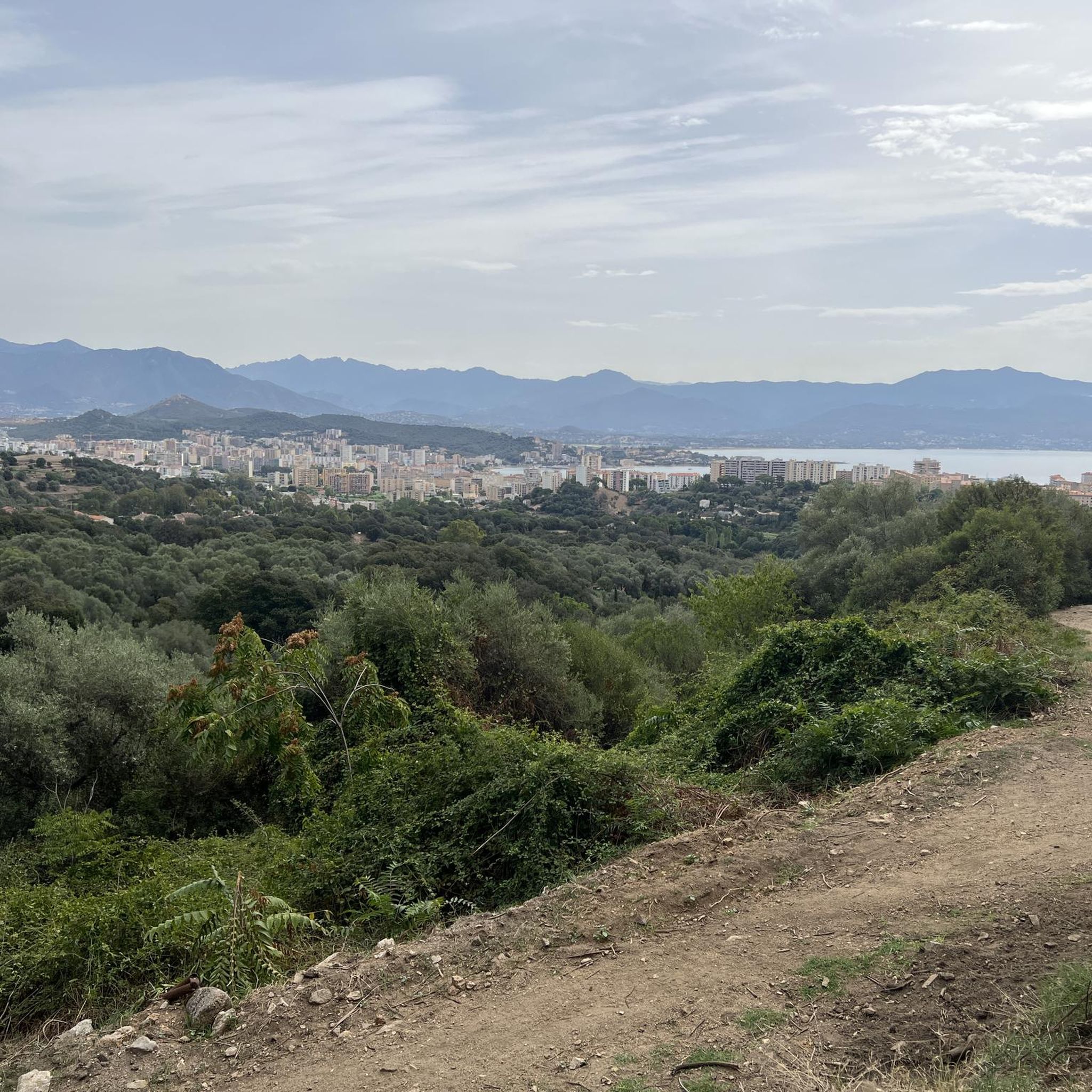
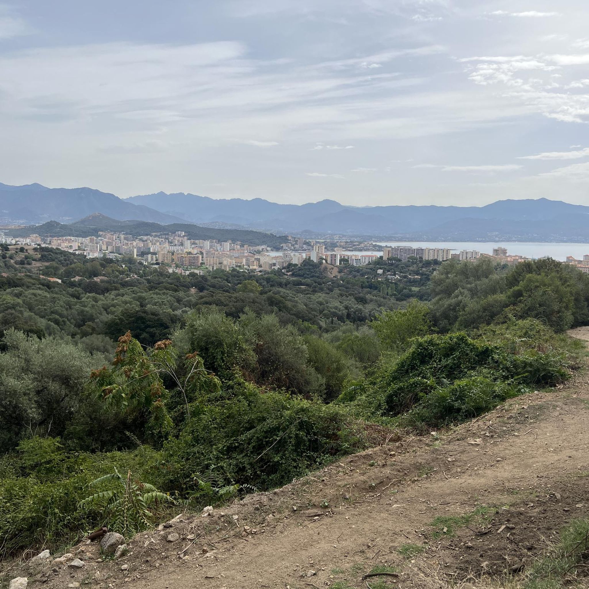
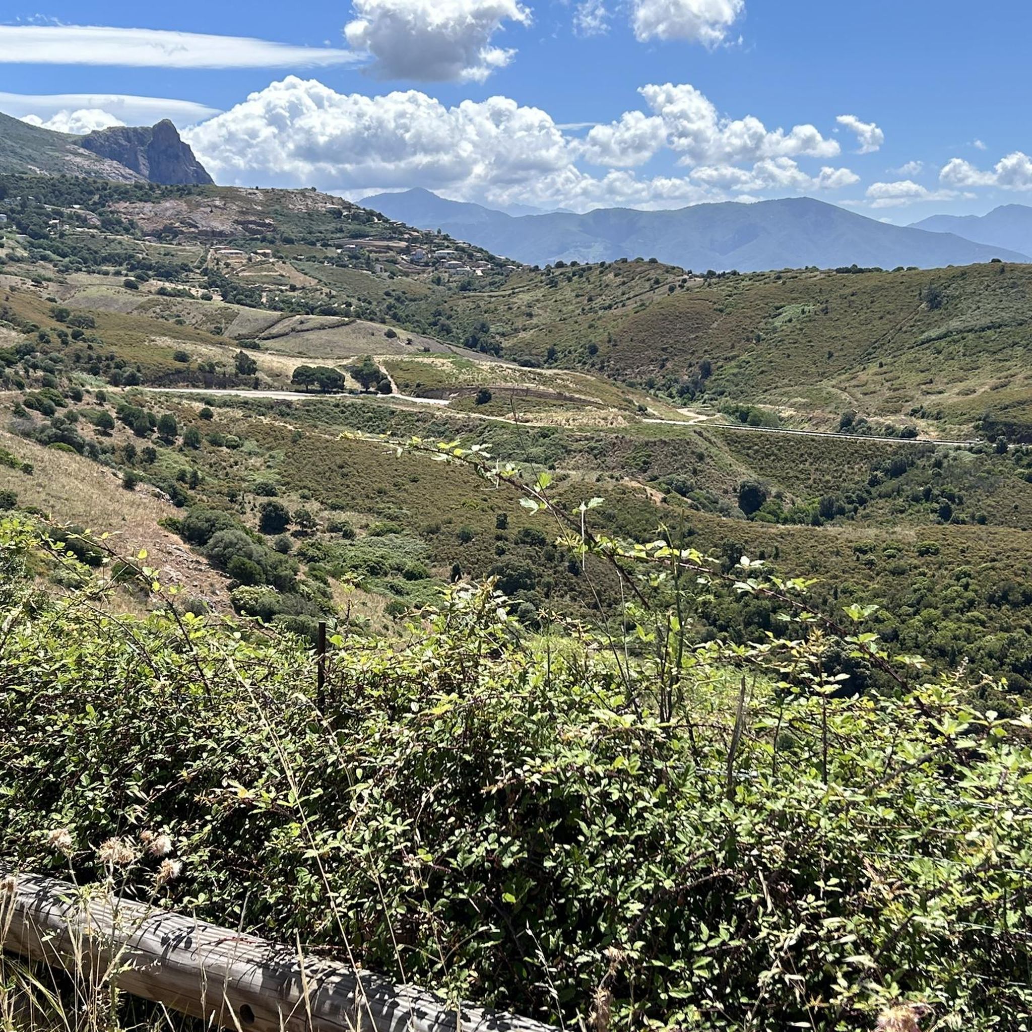
Tips from the Community

Beautiful views of the Gulf of Ajaccio and the city of Ajaccio. In pictures https://youtu.be/uXpmOWDGb8c
0
0

This pretty natural path climbs a small hillock in the town of Afà. This place was at the heart of the village's old hydraulic network, with several mills powered by the waters of the stream.
0
0
This charming fountain is also a former washhouse. We can imagine the inhabitants of yesteryear cleaning their laundry there among its beautiful stones.
0
0
The Sant'Antò trail is intended to reveal the agropastoral history of the municipality of Afà. It leaves at this location, with parking available for motorists.
0
0

Beautiful tour with great views that is fun! ...But in my opinion not a particularly easy tour because of the terrain and because the paths sometimes get lost and you have to crawl over stones and bushes to find them again. The paths were made by cows and you are on pastureland - you should know that (cows were lying on the path behind the ruins). If you keep to the left at the beginning directly on the cliffs you have to climb a lot - very beautiful path but you need good shoes. If you want to watch the sunset at the ruins you should take the shorter (!) route home 😅🙈.
1
1

Bushes or trees obscure the view over large parts of the path. At this point, however, you have an unimpeded view of the bay. Even more beautiful when the weather is nice.
2
0
I'm not sure if I would want to drink from it. Didn't make the most inviting impression ...
2
0
This small reservoir is practically in the middle of nowhere. When the weather is nice, it is definitely very cozy and offers nice opportunities to rest. I do not know whether you can / may bathe in it.
2
0
Frequently Asked Questions
How many hiking trails are available around Alata?
There are nearly 200 hiking trails around Alata, offering a wide range of options for different preferences and skill levels. These routes are highly rated by the komoot community, with an average score of 4.3 stars from over 1,300 reviews.
What types of landscapes can I expect to see while hiking in Alata?
Hiking around Alata offers diverse landscapes, from coastal paths with views of the Mediterranean to inland hills covered in Mediterranean flora. You'll find a mix of gentle terrain and varied routes that showcase the region's natural beauty.
Are there any easy or family-friendly hiking trails in Alata?
Yes, Alata offers many easy routes suitable for families. Out of nearly 200 trails, 93 are classified as easy. An example is the Afa Trail, a short 0.9-mile route with minimal elevation gain, perfect for a relaxed walk.
Can I find circular hiking routes in Alata?
Yes, there are several circular routes available. For instance, the Hiking loop from Lava is an easy 1.9-mile path that offers a pleasant walk with moderate elevation changes. Another option is the Villanova loop from Villanova, a 3.0-mile trail through varied terrain.
What are some interesting natural monuments or viewpoints to see near Alata?
The region boasts several notable natural monuments and viewpoints. You can enjoy the View of the Sanguinaires Islands, explore the Rocher des Gozzi, or admire the View of Pointe de la Parata and the Genoese Tower. These spots offer stunning vistas and unique natural features.
Are there any historical sites or attractions near the hiking trails?
Absolutely. You can visit significant historical sites such as Maison Bonaparte (Napoleon's birthplace), explore the Ajaccio Citadel, or see the Ajaccio Cathedral. These attractions provide a glimpse into the rich history of the area.
What is the best time of year for hiking in Alata?
Given the Mediterranean climate, spring and autumn are generally ideal for hiking in Alata. The weather is milder, and the Mediterranean flora is vibrant. Summer can be hot, especially on coastal paths, so early mornings or late afternoons are recommended if hiking during that season.
Are there any longer or more challenging hikes for experienced hikers?
Yes, for those seeking more challenge, Alata offers 73 moderate and 27 difficult routes. A moderate option is the Villanova – Saltatogghiu Beach loop from Villanova, an 8.0-mile trail with significant elevation changes, offering a rewarding experience.
What do other hikers enjoy most about hiking in Alata?
The komoot community highly rates the trails in Alata, with an average score of 4.3 stars. Hikers often praise the diverse terrain, from coastal views to Mediterranean flora, and the variety of options available for all ability levels. The well-maintained paths and scenic beauty are frequently highlighted.
Is public transport available to access hiking trails around Alata?
While specific public transport routes directly to every trailhead are not detailed in the guide data, Alata is located near Ajaccio, which serves as a regional hub. It's advisable to check local bus schedules or consider car rental for more flexible access to the various trailheads, especially for routes further from the main towns.
Are there any specific trails that offer coastal views?
Many trails in Alata offer coastal views, as the region is characterized by its proximity to the Mediterranean. Routes originating from areas like Lava or Villanova often provide glimpses of the sea and access to beaches, such as the Villanova – Saltatogghiu Beach loop from Villanova.
What should I wear for autumn hikes in Alata?
For autumn hikes in Alata, it's best to dress in layers. While days can still be mild, evenings might be cooler. Comfortable hiking shoes, breathable clothing, and a light jacket are recommended. Always check the local weather forecast before heading out.
Most popular attractions around Alata

Get inspired with the komoot mobile app


Explore more
Browse the best Hikes in other regions.
