The best running trails around Les Moutiers-En-Auge
4.0
(2)
196
runners
43
runs
Jogging routes around Les Moutiers-En-Auge traverse an undulating landscape within the Pays d'Auge region of Normandy. The area is characterized by altitudes ranging from 71 to 228 meters, with the Oudon river and Aneries Stream flowing through it. Runners can expect a mix of rolling hills, green countryside, and traditional hedged farmland, providing varied terrain for outdoor activities.
Best jogging routes around Les Moutiers-En-Auge
- The most popular jogging route is Running loop from Crouttes, a 4.6 miles (7.4 km)…
Last updated: July 8, 2026
5
runners
7.38km
00:48
150m
150m
Moderate run. Good fitness required. Mostly paved surfaces. Suitable for all skill levels.
7
runners
25.5km
03:07
310m
310m
Hard run. Very good fitness required. Mostly paved surfaces. Suitable for all skill levels.

Sign up for free
4
runners
11.5km
01:12
50m
50m
Moderate run. Good fitness required. Mostly paved surfaces. Suitable for all skill levels.
4
runners
6.56km
00:46
80m
80m
Moderate run. Good fitness required. Mostly paved surfaces. Suitable for all skill levels.
4
runners
11.9km
01:27
140m
140m
Moderate run. Good fitness required. Mostly paved surfaces. Suitable for all skill levels.
Get access to more routes and recommendations from other explorers.
Sign up for free
Already have an account?
Our route recommendations are based on thousands of hikes, rides, and runs completed by other people on komoot.
Start today with a free account
Your next adventure awaits.
Login or Signup



Frequently Asked Questions
What kind of terrain can I expect on running routes in Les Moutiers-en-Auge?
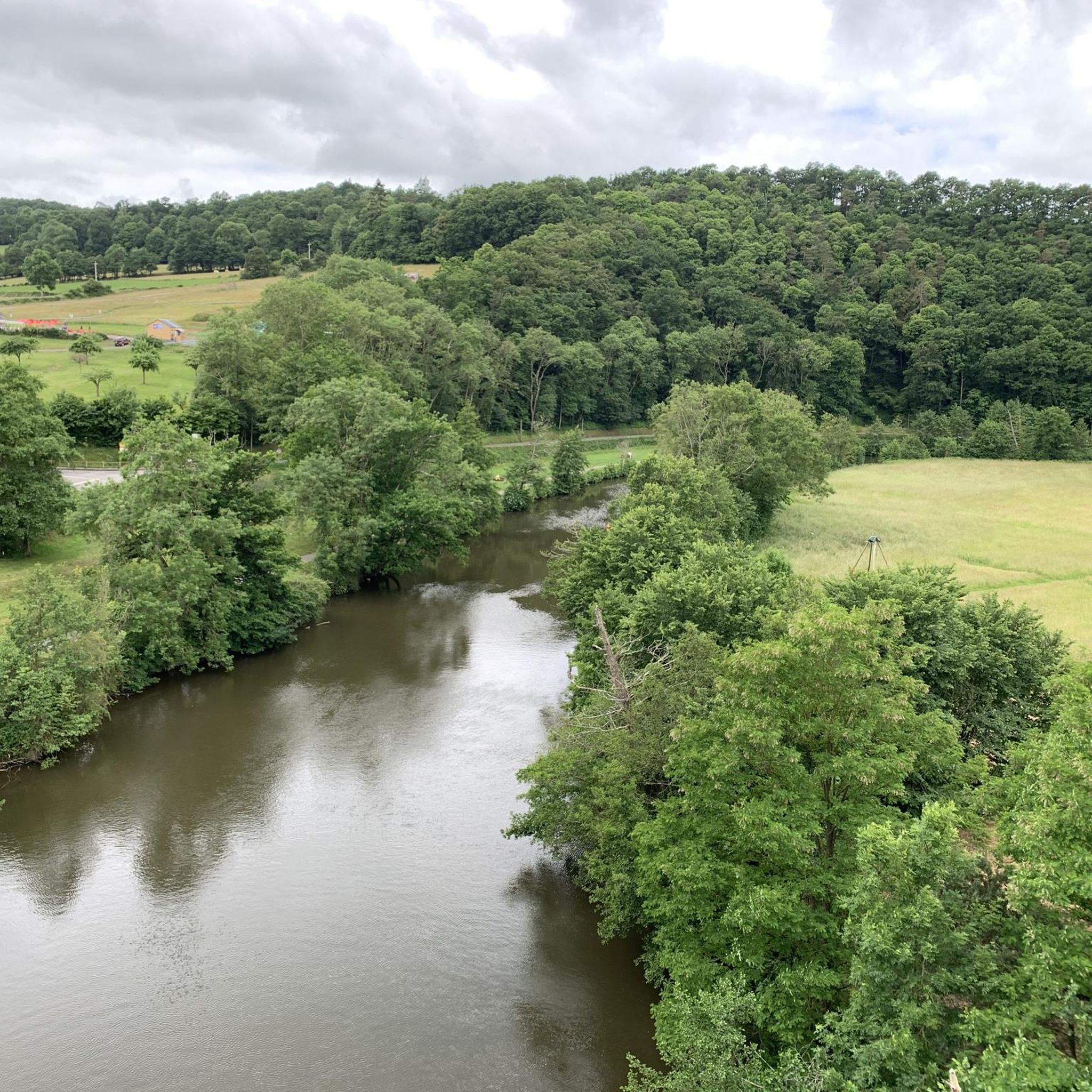
The jogging routes around Les Moutiers-en-Auge traverse the undulating landscape of the Pays d'Auge region. You'll find a mix of rolling hills, green countryside, apple orchards, and traditional hedged farmland (bocage). Altitudes range from 71 to 228 meters, providing varied terrain for a dynamic workout.
How many running routes are available in Les Moutiers-en-Auge?
There are over 40 running routes available around Les Moutiers-en-Auge on komoot, offering a wide range of options for different fitness levels and preferences.
Are there running trails suitable for beginners or those looking for an easy run?
While there are no routes specifically graded as 'easy' in the immediate area, many of the 36 moderate routes offer manageable distances and elevation changes. For example, the Running loop from Damblainville is 4.1 miles (6.6 km) with gentle slopes, often completed in about 46 minutes.
Are there challenging running trails for experienced runners?
Yes, for experienced runners seeking a demanding workout, there are 4 difficult routes. A notable option is the Monts d'Eraines loop from Coulibœuf, which is a challenging 15.8 miles (25.5 km) path through more pronounced hilly terrain.
What do other runners enjoy most about jogging in Les Moutiers-en-Auge?
The running routes in Les Moutiers-en-Auge are highly rated by the komoot community, with an average score of 4.0 stars. Runners often praise the varied terrain, the picturesque green fields, and the charming rural atmosphere of the Pays d'Auge region.
Are there any circular running routes in the area?
Many of the routes around Les Moutiers-en-Auge are designed as loops, allowing you to start and finish in the same location. Examples include the popular Running loop from Crouttes and the Running loop from Norrey-en-Auge.
Can I find running routes that offer scenic views or points of interest?
The Pays d'Auge region is renowned for its 'unspoiled nature' and 'exceptional 360-degree landscapes,' featuring a mosaic of green countryside, apple orchards, and traditional hedged farmland. While running, you might encounter traditional half-timbered houses and manors. For specific points of interest, consider routes near attractions like the historic Camp Celtique de Bierre or the scenic Vaudobin and the Meillon Gorges.
Are there options for longer distance running in the region?
Beyond the immediate commune, the wider Pays d'Auge region offers extensive trail networks, including the famous 'Route du Cidre' (Cider Route), a 40 km circular route winding through picturesque fields and orchards, ideal for long, scenic jogs.
Are the running trails in Les Moutiers-en-Auge suitable for families?
The varied terrain means some routes might be more challenging, but many moderate loops through green fields and gentle slopes could be suitable for active families. Always check the route details for distance and elevation to ensure it matches your family's fitness level.
What are some notable landmarks or attractions near the running routes?
While jogging, you might pass by historical sites such as the Camp Celtique de Bierre. Other significant nearby attractions include the Polish Memorial at Hill 262 North (Maczuga), Coudehard, and the M16 Half-Track Memorial, Tournai-sur-Dives, offering glimpses into the region's history.
Are there any specific routes that pass by rivers or streams?
The Oudon river and the Aneries Stream flow through the area of Les Moutiers-en-Auge. While specific routes are not detailed to follow these waterways directly, the general landscape often incorporates these natural features, providing serene backdrops for your run.
Is there parking available near the starting points of the running routes?
While specific parking information for each route is not always listed, many routes start from villages or hamlets like Crouttes, Coulibœuf, Damblainville, or Norrey-en-Auge, where public parking is generally available. It's advisable to check local maps or komoot route details for specific parking suggestions.
Most popular routes around Les Moutiers-En-Auge
Most popular attractions around Les Moutiers-En-Auge

Get inspired with the komoot mobile app


Explore more
Browse the best Running Trails & Routes in other regions.
