The best walks and hikes around Labessière-Candeil
4.3
(41)
290
hikers
16
hikes
Hiking around Labessière-Candeil offers diverse landscapes characterized by rolling hills, valleys, and expansive vineyards. The region features a network of trails that traverse rural countryside, providing views of local architecture and natural features. Hikers can explore paths winding through Gaillac vineyards and various wooded areas, with some routes offering rural panoramas punctuated by views of neighboring steeples. The area also benefits from its proximity to the Forêt de Sivens, expanding options for nature exploration.
Best hiking trails around Labessière-Candeil
- The…
Last updated: June 29, 2026
4.8
(11)
61
hikers
10.5km
02:54
190m
190m
Moderate hike. Good fitness required. Easily-accessible paths. Suitable for all skill levels.
4.3
(3)
23
hikers
4.31km
01:08
30m
30m
Easy hike. Great for any fitness level. Easily-accessible paths. Suitable for all skill levels.

Sign up for free
5.0
(1)
4
hikers
15.0km
03:57
130m
130m
Moderate hike. Good fitness required. Easily-accessible paths. Suitable for all skill levels.
4.7
(3)
6
hikers
6.18km
01:42
100m
100m
Easy hike. Great for any fitness level. Easily-accessible paths. Suitable for all skill levels.
2
hikers
8.60km
02:14
60m
60m
Moderate hike. Good fitness required. Easily-accessible paths. Suitable for all skill levels.
Get access to more routes and recommendations from other explorers.
Sign up for free
Already have an account?
Our route recommendations are based on thousands of hikes, rides, and runs completed by other people on komoot.
Start today with a free account
Your next adventure awaits.
Login or Signup
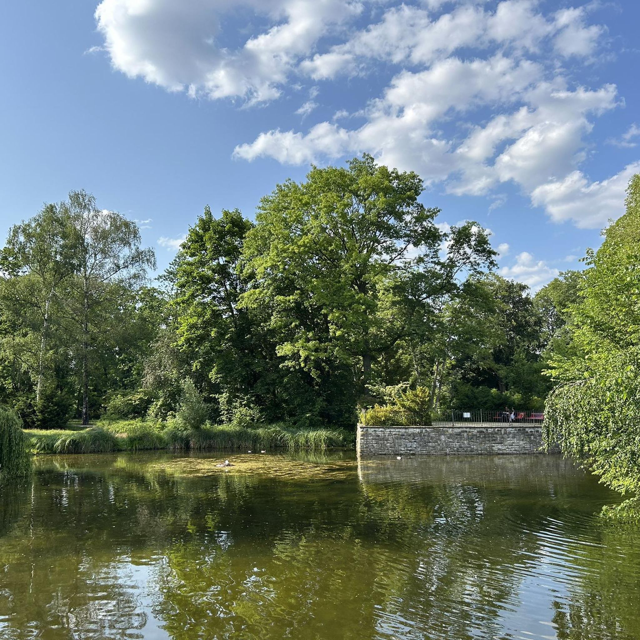

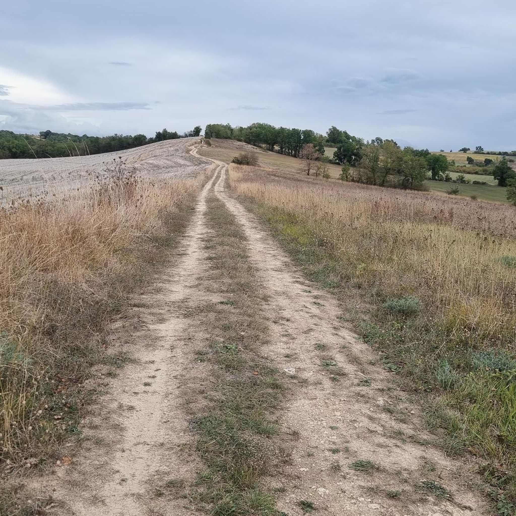

Tips from the Community

Follow this trail towards the woods.
0
0

The suspended footbridge allows you to step over the Dadou as much as possible by bike, thus cutting the city north / south by this route for example. It allows you to join the green lane (no asphalt) from here to the gaillac road on the right bank.
0
0

Frequently Asked Questions
How many hiking trails are available in Labessière-Candeil?
There are nearly 20 hiking trails around Labessière-Candeil, offering a variety of options for different skill levels. These include 6 easy routes and 13 moderate routes, ensuring there's something for everyone to explore the region's diverse landscapes.
What kind of terrain can I expect on hikes around Labessière-Candeil?
The terrain around Labessière-Candeil is characterized by rolling Albigeois hillsides and valleys, interspersed with expansive vineyards and fields. You'll often find yourself walking through serene rural countryside, passing quaint hamlets and catching glimpses of local architecture like pigeonniers and distant church steeples. Some paths follow streams, revealing vestiges of ancient mills.
Are there any easy hiking options suitable for beginners or families?
Yes, Labessière-Candeil offers several easy hiking options perfect for beginners or families. For instance, the Lake tours loop from Graulhet is an easy 1.7-mile (2.7 km) path that provides a pleasant walk around a lake. Another accessible option is the Hiking loop from Técou, which is 3.6 miles (5.8 km) long and also rated as easy.
Can I bring my dog on the hiking trails in Labessière-Candeil?
While specific regulations for dogs on trails can vary, generally, the rural and natural trails around Labessière-Candeil are suitable for well-behaved dogs, especially if kept on a leash. Always ensure you clean up after your pet and respect local wildlife and private property.
Are there any circular hiking routes in the area?
Yes, many of the hiking routes in Labessière-Candeil are circular, allowing you to start and end at the same point. A popular example is the Hiking loop from Puech du Moulin a Vent, a 6.5-mile (10.5 km) trail offering varied terrain through the local hills. Another great circular option is the Lac du golf loop from Aussac, which is 5.4 miles (8.7 km) long.
What are some interesting historical or natural sights to look out for on the trails?
The region is rich in both natural beauty and historical elements. Along trails like the "Chemin d'Agros," you can observe the vestiges of ancient mills, such as the Raco mill and Vitrac mill, once powered by the Agros stream. You might also encounter local architecture like pigeonniers and distant church steeples. Nearby attractions include the Lagrave Footbridge and the View of the Tarn.
When is the best time of year to go hiking in Labessière-Candeil?
Labessière-Candeil offers pleasant hiking experiences throughout much of the year. The spring and autumn months provide comfortable temperatures and vibrant scenery. However, the region's vineyards and fields are particularly enjoyable for walks during the winter months, offering a serene and picturesque setting.
Is there public transport access to the hiking trailheads?
Public transport options directly to specific trailheads in this rural area may be limited. It is generally recommended to use a car to access the starting points of most hiking routes around Labessière-Candeil. Always check local transport schedules for the most up-to-date information.
Where can I find parking for hiking trails in Labessière-Candeil?
Many of the hiking trails in Labessière-Candeil are accessible from villages or rural areas where parking is typically available. Look for designated parking areas near trailheads, churches, or village centers. For specific routes, check the tour details on komoot for recommended starting points and parking information.
What do other hikers say about the trails in Labessière-Candeil?
The hiking trails in Labessière-Candeil are highly rated by the komoot community, with an average score of 4.2 stars from over 30 reviews. Hikers often praise the varied terrain, the peaceful rural atmosphere, and the opportunities to discover the nature and charm of the Tarn region. Over 250 hikers have already explored these paths using komoot.
Are there any longer or more challenging hikes for experienced hikers?
While most routes are moderate, offering a good challenge without extreme difficulty, the longer moderate trails provide a more extended experience. For example, the Archéosite loop from Pradelasses is 5.3 miles (8.6 km) long and offers a moderate challenge with some elevation changes, suitable for those looking for a longer outing.
Are there specific trails that offer good viewpoints or opportunities for wildlife spotting?
Many trails traverse the rolling hillsides, providing picturesque views of the Albigeois landscape, including vineyards and distant villages. The rural countryside also offers opportunities for wildlife spotting, particularly birds and small mammals. Look for trails that climb to higher elevations for the best panoramic vistas.
Are there places to eat or stay near the hiking trails in Labessière-Candeil?
Labessière-Candeil and its surrounding villages offer a selection of local amenities, including gîtes and small restaurants, where you can find refreshments or accommodation. For a wider range of options, nearby towns will provide more choices for dining and lodging after your hike.
Most popular routes around Labessière-Candeil
Most popular attractions around Labessière-Candeil

Get inspired with the komoot mobile app


Explore more
Browse the best Hikes in other regions.
