The best running trails around Saint-Hilaire-Sous-Charlieu
4.4
(27)
1,737
runners
176
runs
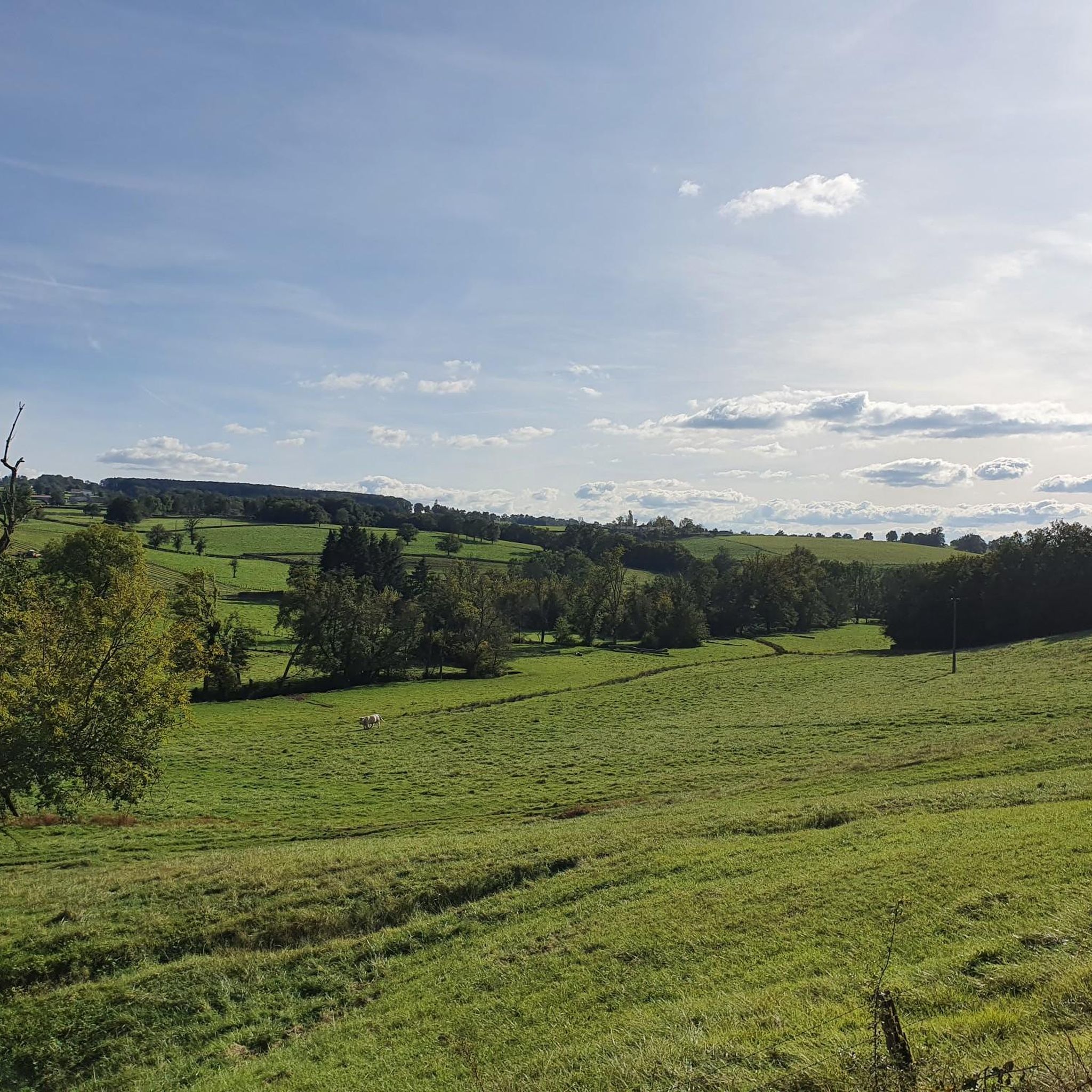
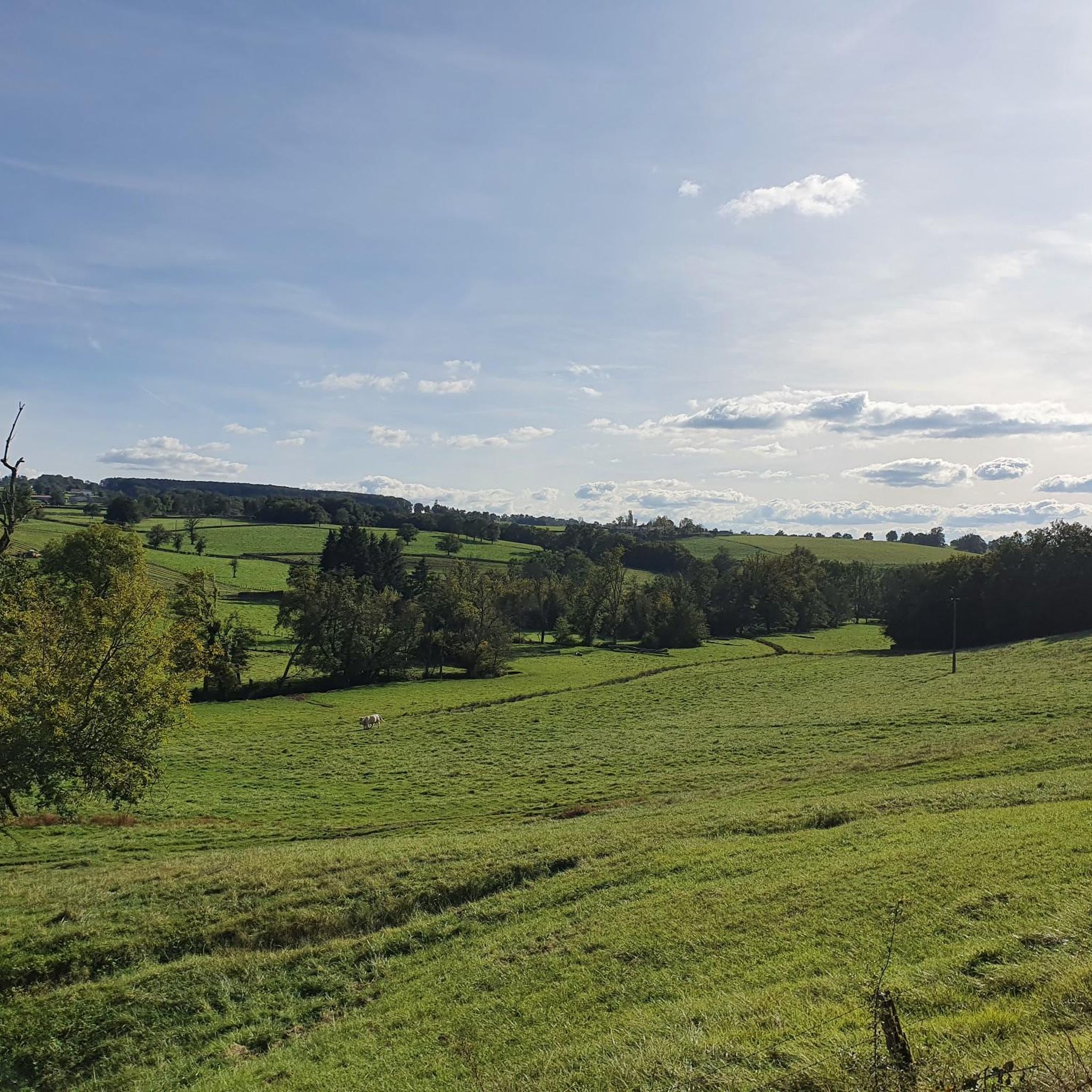
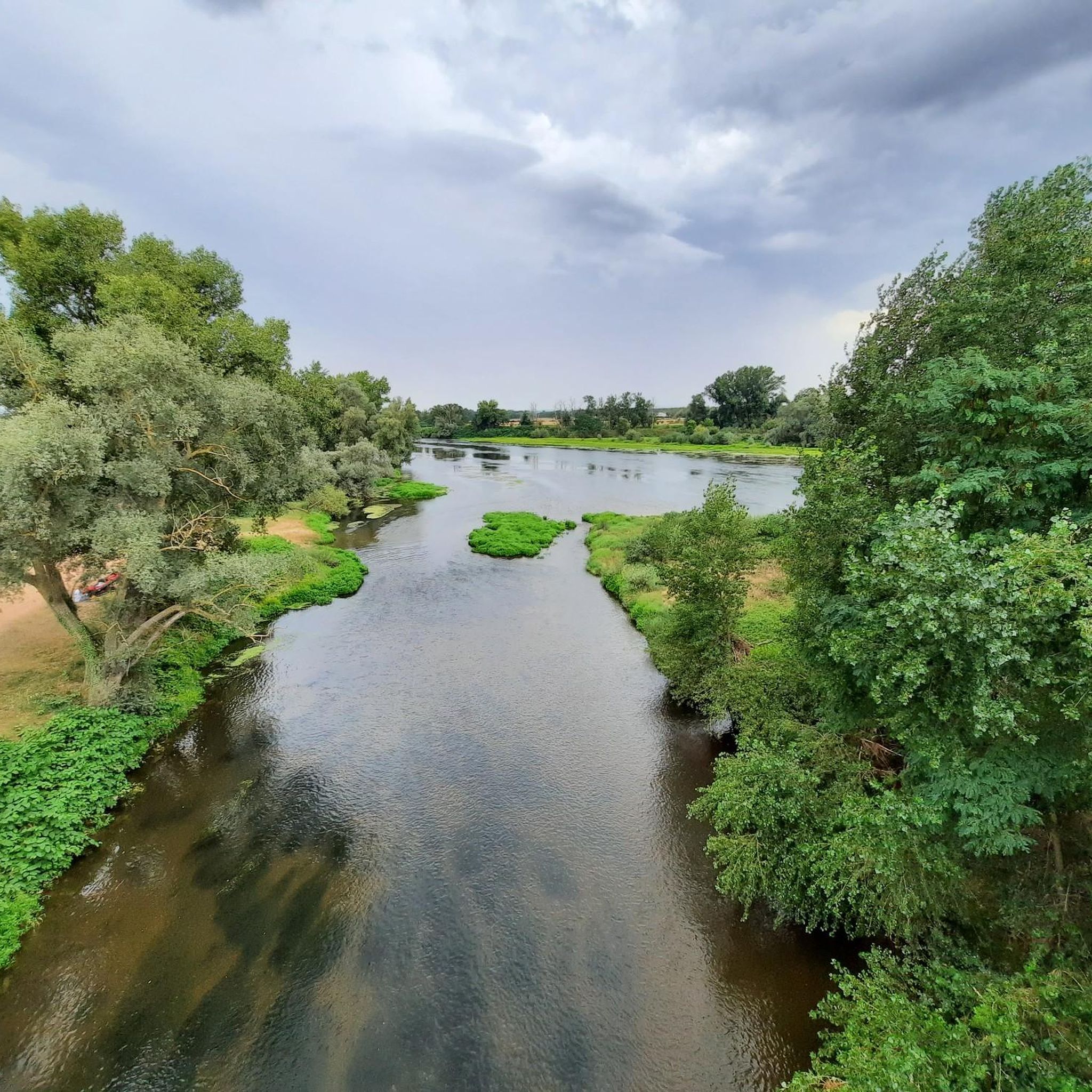
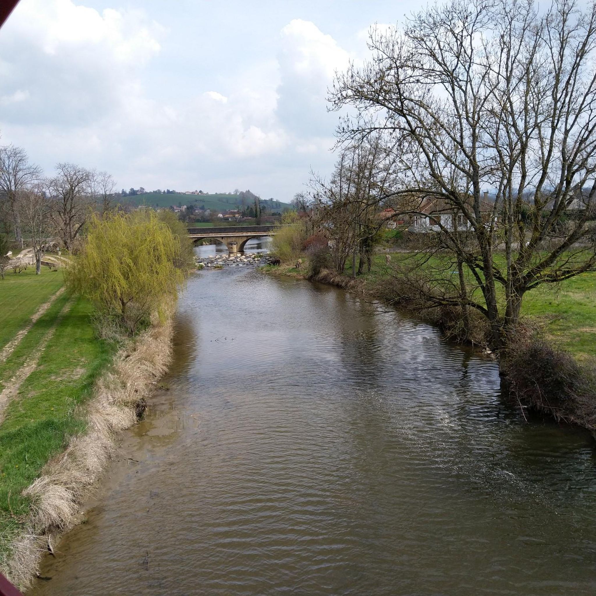
Jogging routes around Saint-Hilaire-Sous-Charlieu traverse a varied landscape of hills, plateaus, and river valleys within the Loire department. The terrain offers natural inclines and descents, with elevations ranging from 368m to 454m. Runners can explore paths alongside waterways like the Sornin and Chandonet, as well as shaded trails through significant wooded areas and open agricultural land. This diverse topography provides a range of running experiences.
Best jogging routes around Saint-Hilaire-Sous-Charlieu
- The most popular jogging route is Pouilly-sous-Charlieu loop from Charlieu…
Last updated: July 1, 2026
16
runners
12.7km
01:30
200m
200m
Moderate run. Good fitness required. Mostly paved surfaces. Suitable for all skill levels.
9
runners
25.3km
02:57
420m
420m
Hard run. Very good fitness required. Mostly paved surfaces. Suitable for all skill levels.

Sign up for free
4
runners
6.47km
00:41
80m
80m
Moderate run. Good fitness required. Mostly paved surfaces. Suitable for all skill levels.
3
runners
7.14km
00:50
110m
110m
Moderate run. Good fitness required. Mostly paved surfaces. Suitable for all skill levels.
4
runners
9.62km
01:08
150m
150m
Moderate run. Good fitness required. Mostly paved surfaces. Suitable for all skill levels.
Get access to more routes and recommendations from other explorers.
Sign up for free
Already have an account?
Our route recommendations are based on thousands of hikes, rides, and runs completed by other people on komoot.
Start today with a free account
Your next adventure awaits.
Login or Signup
Tips from the Community

Old adobe house, now a performance hall and vestige of peasant life. Very nice view, ideal stopover for a picnic! Every year, the festival "peasant words" is held there. https://bit.ly/3xXVEQJ
1
0

The Grands Couverts are characteristic of the region. They are distinguished by their large four-sided roof, one of which is very short at the front. Dating for the most part from the 18th century, these buildings grouped under the same roof spaces devoted to people, animals and storage. The Grand Couvert des Perches is one of the last in the region and it is possible to visit it.
1
0
Frequently Asked Questions
How many running routes are available in Saint-Hilaire-Sous-Charlieu?
There are over 150 running routes around Saint-Hilaire-Sous-Charlieu, offering a wide variety of options for different fitness levels and preferences. You'll find everything from easy jogs to more challenging runs.
What kind of terrain can I expect on the running trails around Saint-Hilaire-Sous-Charlieu?
The region offers a diverse landscape for running, characterized by a mix of hills, plateaus, and river valleys. You can expect natural inclines and descents, with elevations ranging from 368m to 454m. Many routes also traverse shaded forest areas and open agricultural land, providing varied scenery.
Are there running routes suitable for beginners or those looking for an easy jog?
Yes, Saint-Hilaire-Sous-Charlieu has several easy running routes. For instance, the Pouilly-sous-Charlieu loop from Charlieu is a moderate 10.8 km trail with minimal elevation gain, making it a relatively flat and accessible option for a relaxed run.
Are there options for more challenging runs with significant elevation changes?
Absolutely. For a more demanding workout, you can find routes with notable elevation gains. The Stone bridge loop from Charlieu, for example, is a 10.5 km path that includes an elevation gain of 156m, providing a good challenge through varied terrain.
What do other runners enjoy most about the trails in Saint-Hilaire-Sous-Charlieu?
The running routes in Saint-Hilaire-Sous-Charlieu are highly rated by the komoot community, with an average score of 4.3 stars from over 20 reviews. Runners often praise the varied terrain, the picturesque river valleys, and the tranquil forest paths that make for an engaging and scenic running experience.
Are there any circular running routes in the area?
Yes, many of the running paths around Saint-Hilaire-Sous-Charlieu are circular, allowing you to start and finish in the same location. The Running loop from Saint-Hilaire-sous-Charlieu is a popular 12.7 km circular trail that takes you through the local countryside.
Can I bring my dog on the running trails around Saint-Hilaire-Sous-Charlieu?
While specific dog-friendly designations vary by route, generally, many natural trails in the region are suitable for running with dogs, especially if kept on a leash. It's always a good idea to check local signage or route descriptions for any specific restrictions.
What natural features or landmarks can I see while running?
The routes often pass through picturesque landscapes, including river valleys carved by the Sornin and Chandonet rivers, and extensive wooded areas. You might also encounter charming rural scenes with agricultural land. Nearby attractions include the historic town of Charlieu, medieval town, and the serene Canal de Roanne à Digoin, which offers flat paths along the water.
Are there routes that offer scenic views or panoramas?
Yes, the hilly terrain around Saint-Hilaire-Sous-Charlieu provides excellent opportunities for scenic views. From certain vantage points, you can take in the entire Roannaise plain and even glimpse the distant Madeleine and Forez mountains. The Panorama loop from Saint-Hilaire-sous-Charlieu is specifically designed to showcase these beautiful vistas.
Is parking available near the trailheads?
Parking is generally available in or near the villages where many routes begin, such as Saint-Hilaire-Sous-Charlieu or Charlieu. For specific routes, it's advisable to check the route details on komoot for recommended starting points and parking information.
What is the best time of year to go running in Saint-Hilaire-Sous-Charlieu?
The varied climate of the Auvergne-Rhône-Alpes region makes spring and autumn particularly pleasant for running, with mild temperatures and beautiful natural scenery. Summer mornings and evenings are also ideal, offering cooler conditions and shaded paths through the forests. Winter running is possible, but be mindful of potentially colder temperatures and wet conditions.
Are there any routes that follow waterways or go through forests?
Yes, the region is crisscrossed by rivers like the Sornin and Chandonet, and many routes offer paths along their banks, providing a different kind of terrain and picturesque settings. Additionally, over 10% of the commune is covered by forests, meaning you'll find numerous shaded trails perfect for running through tranquil wooded areas.
Most popular routes around Saint-Hilaire-Sous-Charlieu
Most popular attractions around Saint-Hilaire-Sous-Charlieu

Get inspired with the komoot mobile app


Explore more
Browse the best Running Trails & Routes in other regions.
