The best running trails around Painblanc
4.3
(27)
739
runners
61
runs
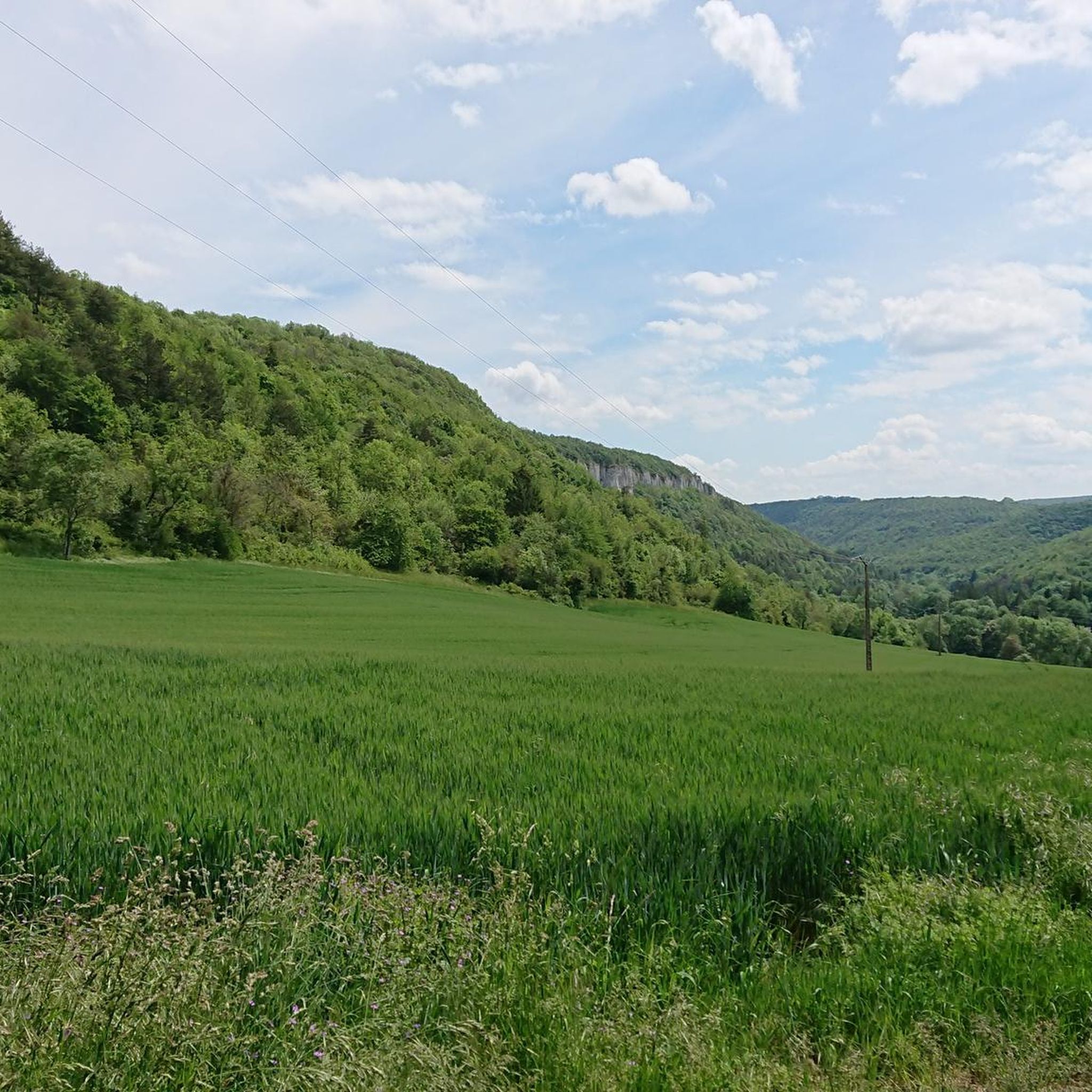
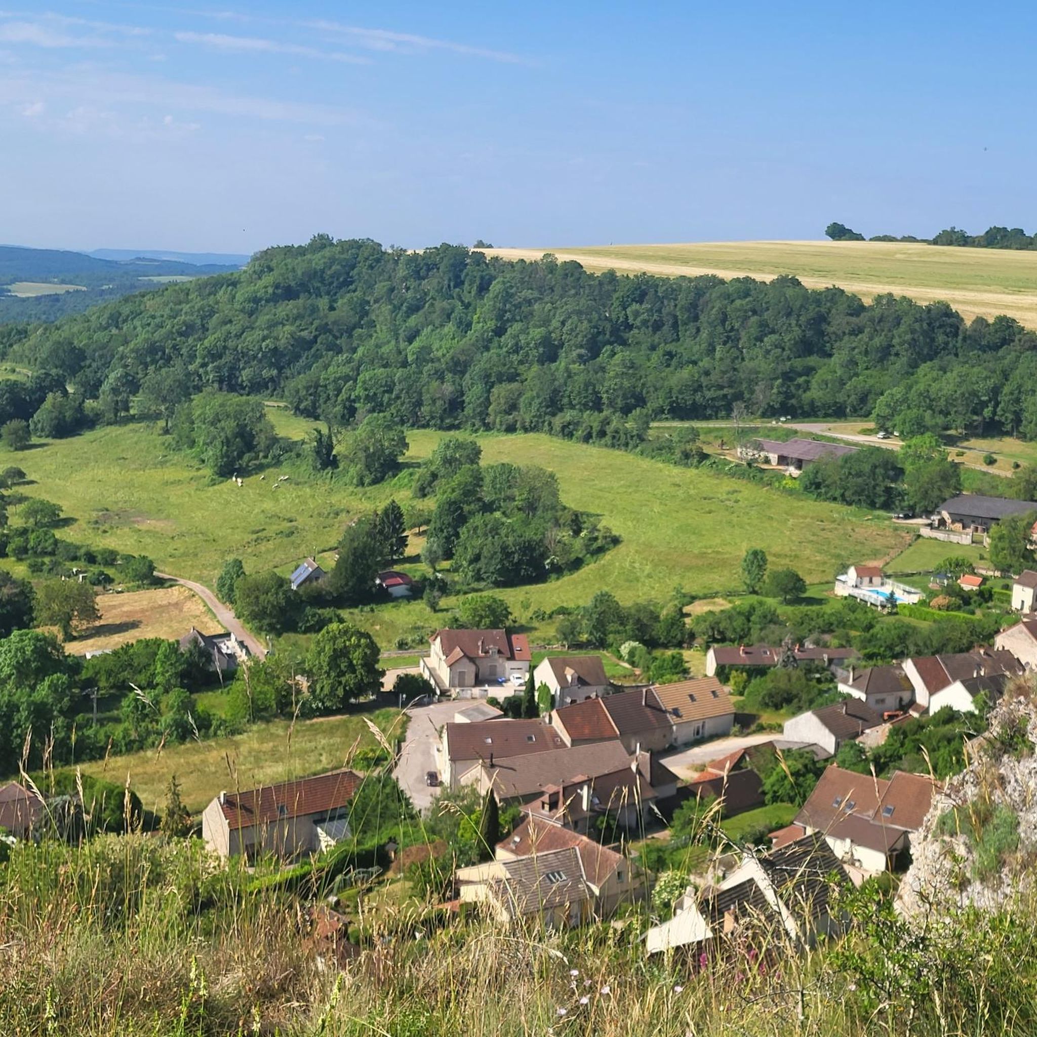
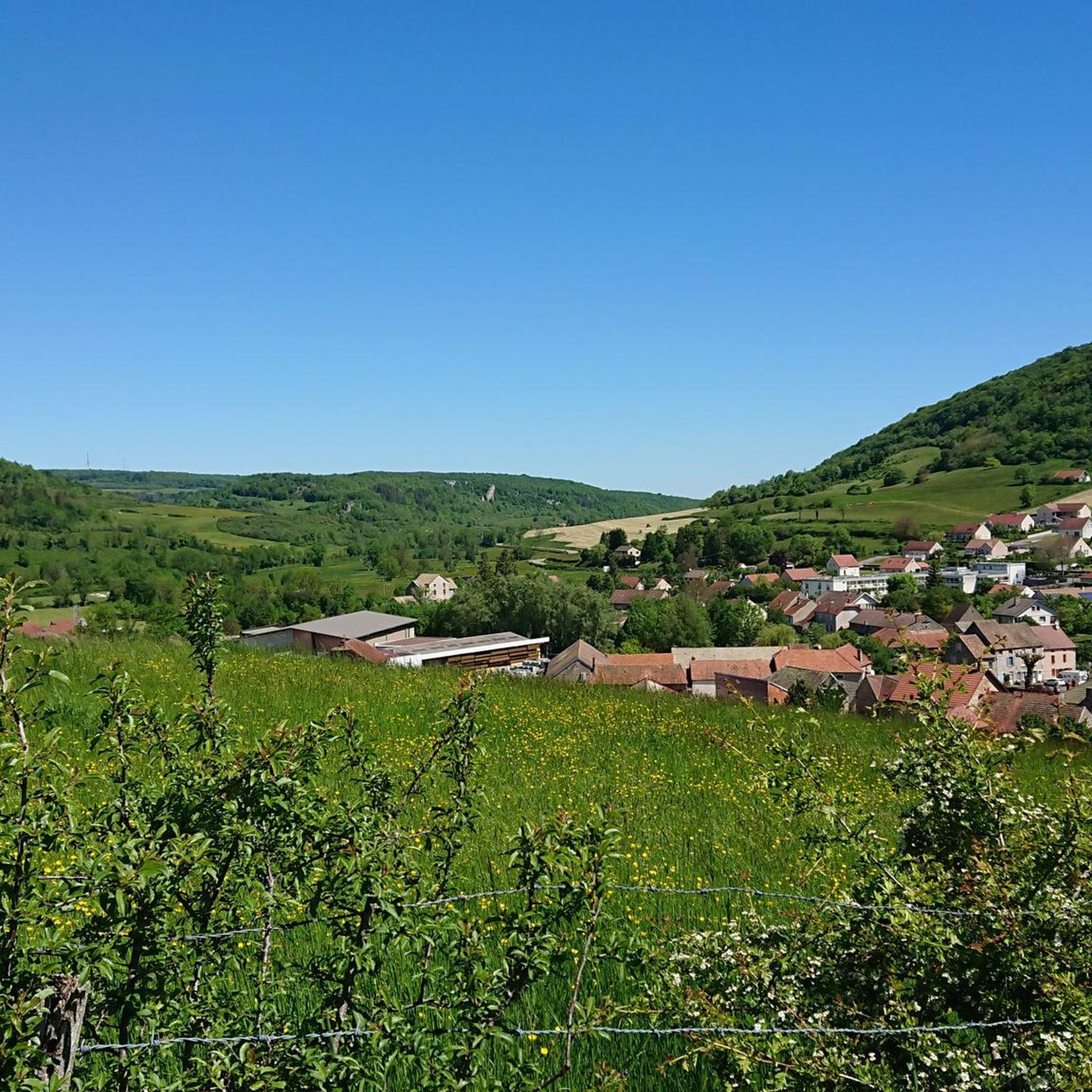
Jogging around Painblanc offers a variety of routes through the region's characteristic rolling hills and dense woodlands. The landscape is defined by its rural countryside, providing a mix of open paths and shaded trails. Runners can explore the area's natural beauty on routes that traverse varied terrain, from gentle slopes to more challenging ascents.
Best jogging routes around Painblanc
- The most popular jogging route is Running loop from Bligny-sur-Ouche, a 3.5 miles (5.7 km) trail that takes 46 minutes…
Last updated: October 9, 2026
5.0
(2)
12
runners
7.43km
00:52
150m
150m
Moderate run. Good fitness required. Mostly paved surfaces. Suitable for all skill levels.
9
runners
5.67km
00:45
180m
180m
Moderate run. Good fitness required. Mostly paved surfaces. Suitable for all skill levels.

11
runners
36.3km
04:37
880m
880m
Hard run. Very good fitness required. Mostly paved surfaces. Suitable for all skill levels.
8
runners
16.4km
01:57
410m
410m
Hard run. Very good fitness required. Mostly paved surfaces. Suitable for all skill levels.
8
runners
20.2km
02:06
90m
90m
Hard run. Very good fitness required. Mostly paved surfaces. Suitable for all skill levels.
Get access to more routes and recommendations from other explorers.
Already have an account?
Our route recommendations are based on thousands of hikes, rides, and runs completed by other people on komoot.
Start today with a free account
Your next adventure awaits.
Tips from the Community

In the heart of Burgundy a small harbor with ships like the Niagara or the Nirvana. In addition, a restaurant where you should treat yourself to a break.
0
0

Very pretty panorama of Burgundy's heritage on one of the most interesting sections of the Burgundy Canal.
1
0

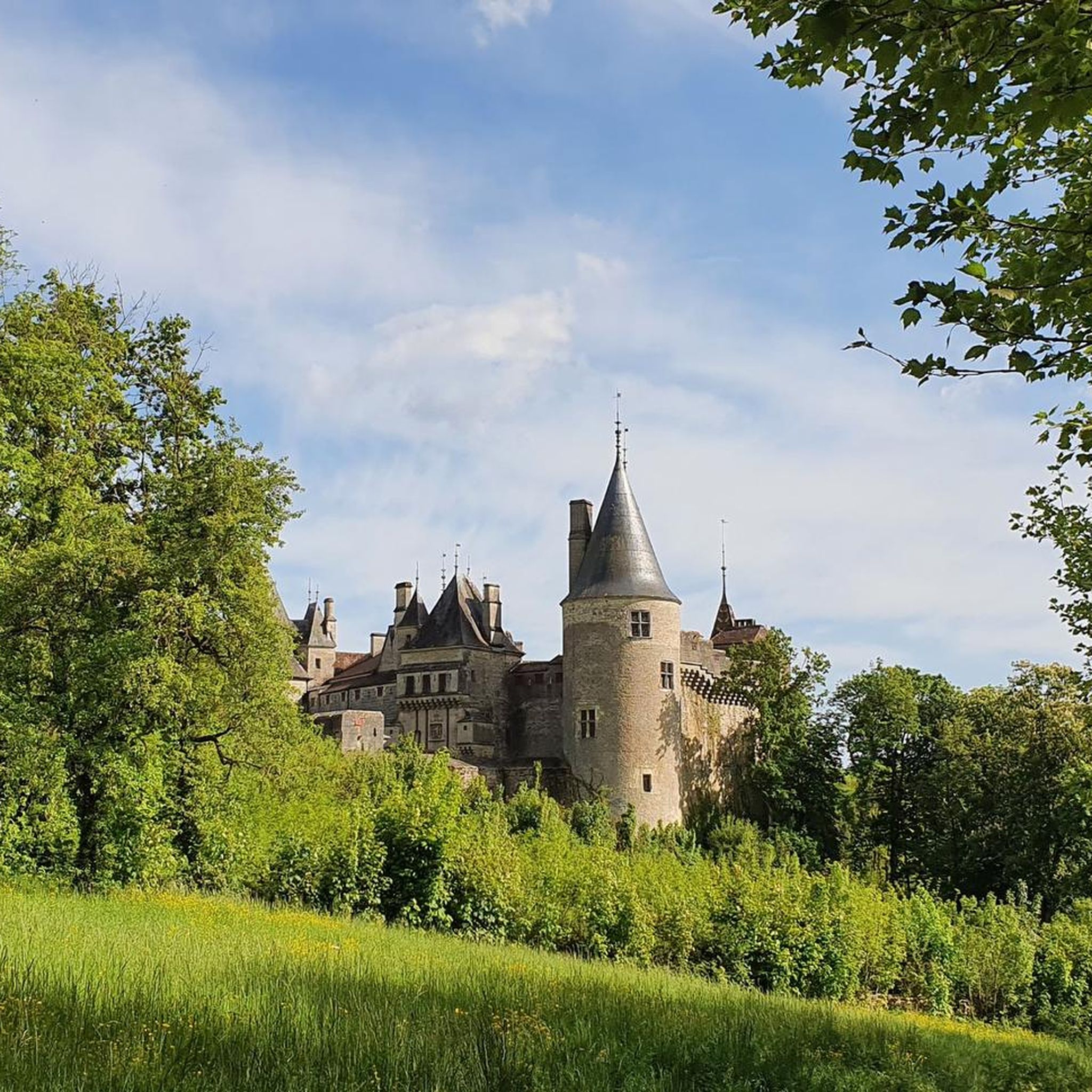
The anticipation increases as you approach this impressive building. It can be seen from miles away.
0
0

magnificent wash house at the foot of the church.
0
0

A small village located on the Burgundy canal. There is a Brise du Port restaurant which could be nice for a little snack.
2
0

Chateau visible from several directions, but seemed an effort to climb the hill for a closer view.
3
0

Châteauneuf-en-Auxois, set on a rocky promontory, can be seen from afar! Its silhouette, topped with a castle, winks at everyone below. The village is classified and the fortified castle can be visited. All the info here: https://chateauneuf.bourgognefranchecomte.eu
1
0
The greenway along the Burgundy Canal is really very pleasant to cycle through! Sometimes asphalted, sometimes covered with gravel, it follows the canal and passes next to several small locks.
0
0
Frequently Asked Questions
How many running routes are available around Painblanc?
There are over 50 running routes available around Painblanc, offering a wide range of options for different skill levels and preferences.
Are there easy running routes for beginners in Painblanc?
Yes, Painblanc offers several easy running routes suitable for beginners. These trails typically feature gentler slopes and shorter distances, allowing for a comfortable introduction to running in the area. One such route is the Running loop from Bligny-sur-Ouche, which is 3.5 miles (5.7 km) long.
What kind of terrain can I expect on running trails around Painblanc?
The running trails around Painblanc are characterized by rolling hills, dense woodlands, and picturesque countryside paths. You'll encounter a mix of open fields and shaded forest sections, providing varied scenery and surfaces for your run.
What are some options for longer and more challenging running trails in Painblanc?
For those seeking a greater challenge, Painblanc offers several difficult long-distance running trails. The Rocher Hélène – Grotte du Maquis loop from Bligny-sur-Ouche is a demanding 21.0 miles (33.8 km) route, while the Rocher Hélène loop from Bligny-sur-Ouche covers 10.7 miles (17.2 km) with significant elevation changes.
Can I find circular running routes in the Painblanc area?
Yes, many of the running routes in Painblanc are designed as circular loops, allowing you to start and finish at the same point. Examples include the Lusigny-sur-Ouche Lock loop from Bligny-sur-Ouche and the Lusigny-sur-Ouche Lock loop from Vic-des-Prés.
What do other runners say about the trails in Painblanc?
The running routes in Painblanc are highly rated by the komoot community, with an average score of 4.2 stars from over 20 reviews. Runners often praise the varied terrain, the natural beauty of the woodlands and countryside, and the well-maintained paths.
Are the running routes around Painblanc suitable for families?
Many of the easier and moderate routes around Painblanc are suitable for families, especially those with older children who enjoy outdoor activities. The region's diverse landscape provides engaging scenery for all ages. Always check the route's difficulty and length to ensure it matches your family's capabilities.
Can I bring my dog on the running trails in Painblanc?
Generally, dogs are welcome on most trails in the Painblanc area, especially those traversing natural landscapes and rural paths. However, it's always advisable to keep your dog on a leash, particularly in areas with livestock or near roads, and to respect local regulations.
What are some interesting sights or landmarks I can see while running near Painblanc?
While running near Painblanc, you can explore several historical and cultural landmarks. Notable attractions include the impressive Château de Châteauneuf, a charming Medieval village with a castle, and the historic Saint Philip and Saint James Church in Châteauneuf.
What is the best time of year to go running in Painblanc?
Painblanc offers enjoyable running conditions throughout much of the year. Spring and autumn provide pleasant temperatures and vibrant scenery, with blooming flowers or colorful foliage. Summer can be warm, so early morning or late evening runs are recommended. Winter running is also possible, though some trails might be muddy or require appropriate gear.
Are there running routes accessible by public transport in Painblanc?
While specific public transport links to trailheads are not detailed, the Painblanc region is generally rural. It's recommended to check local bus schedules or consider driving to access the starting points of most running routes.
Are there running routes with parking available in Painblanc?
Most running routes in the Painblanc area, especially those starting from villages like Bligny-sur-Ouche, will have general parking available nearby. Look for village squares or designated parking areas close to the trailheads.
Most popular attractions around Painblanc

Get inspired with the komoot mobile app


Explore more
Browse the best Running Trails & Routes in other regions.
