The best running trails around Sainte-Sigolène
4.0
(31)
881
runners
37
runs
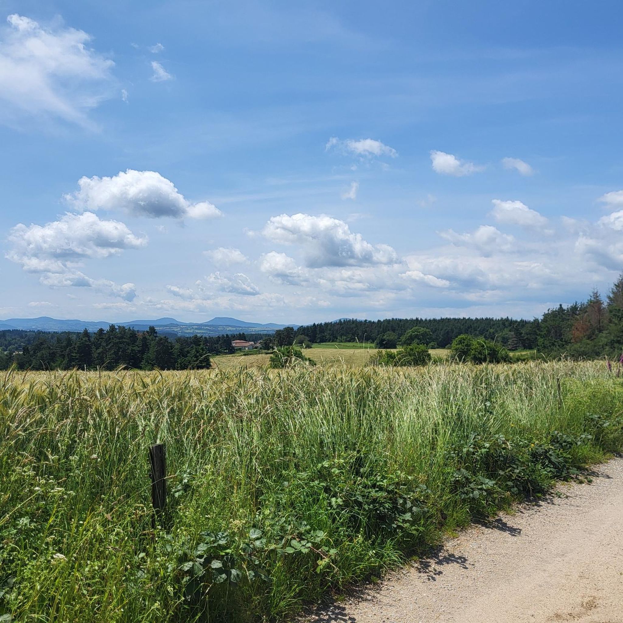
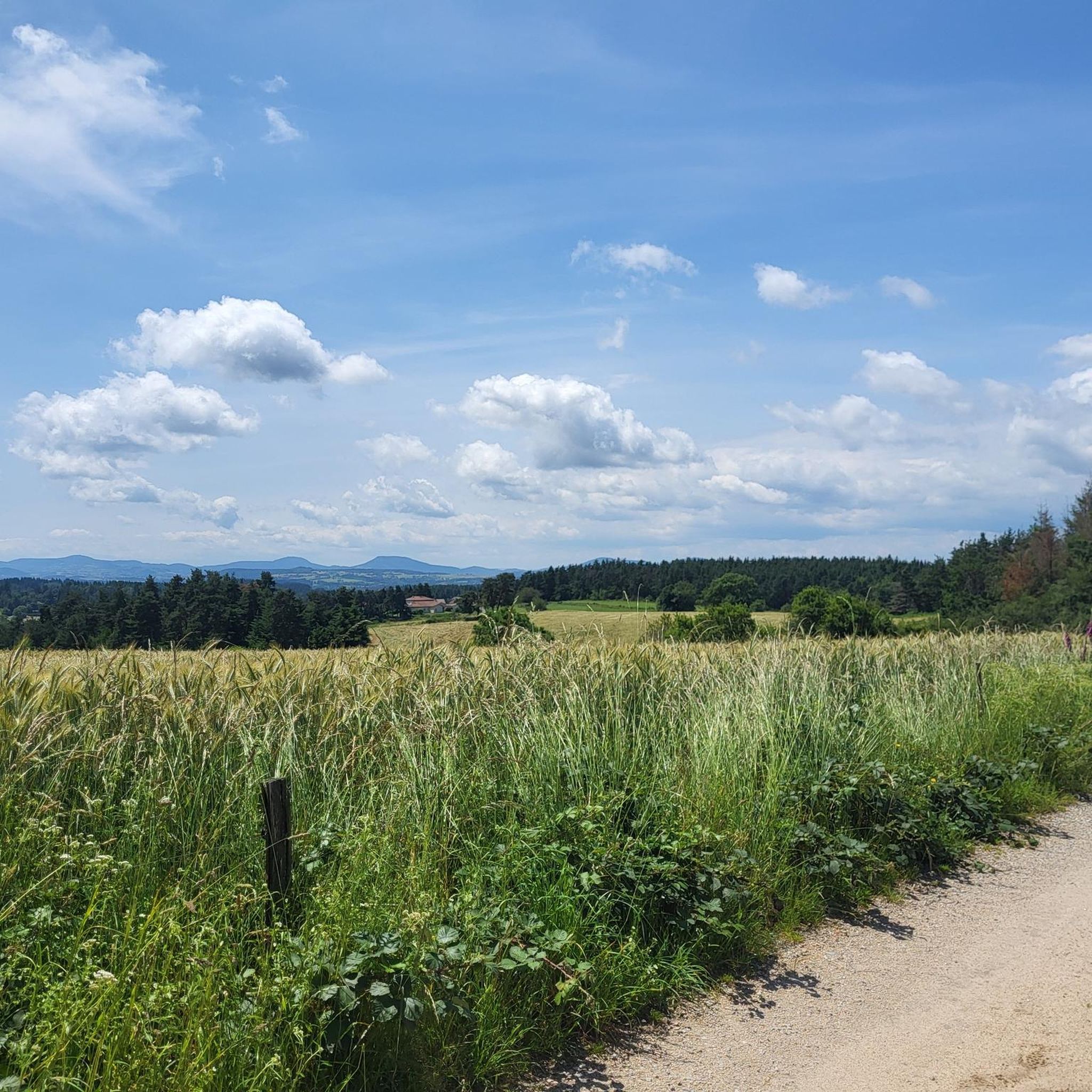
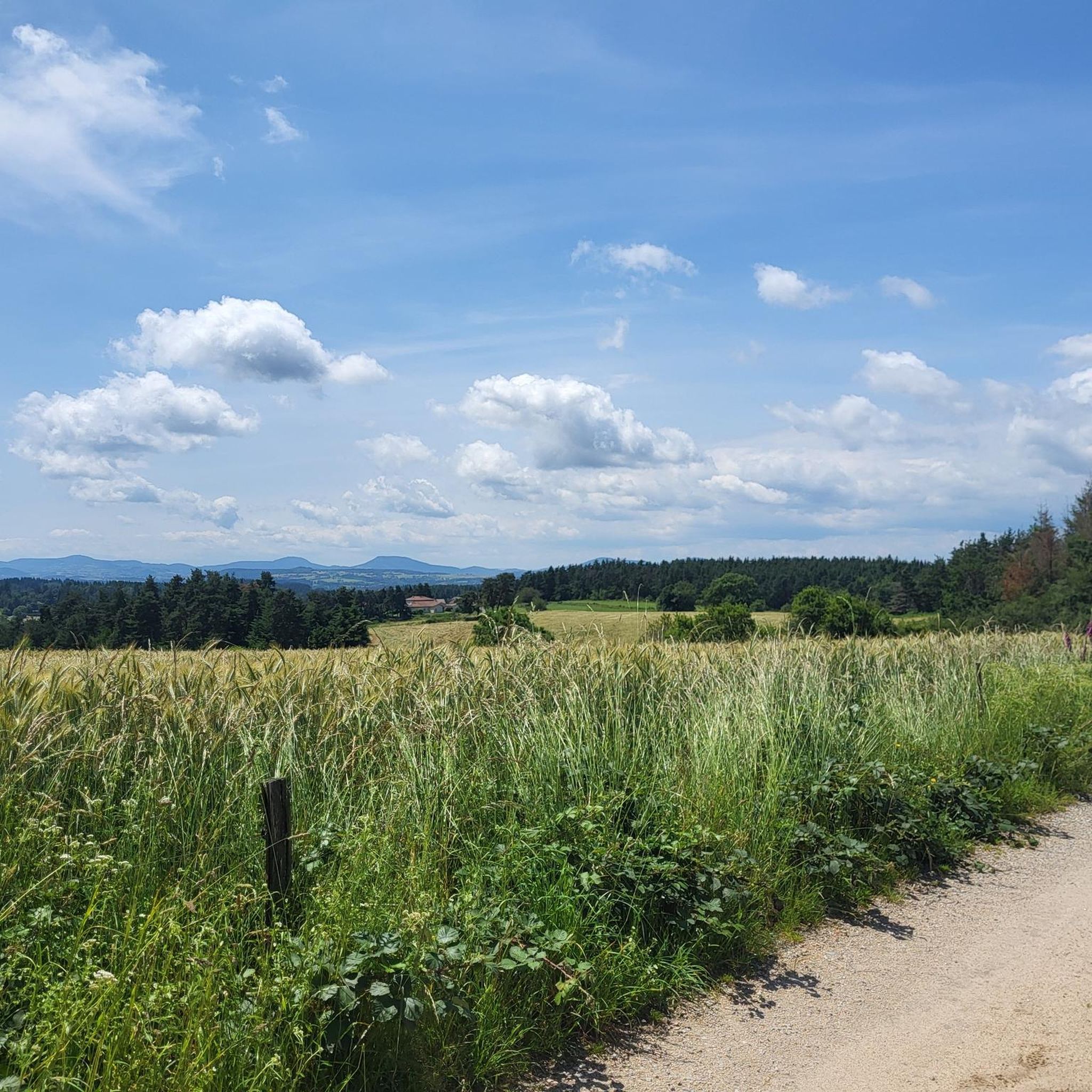
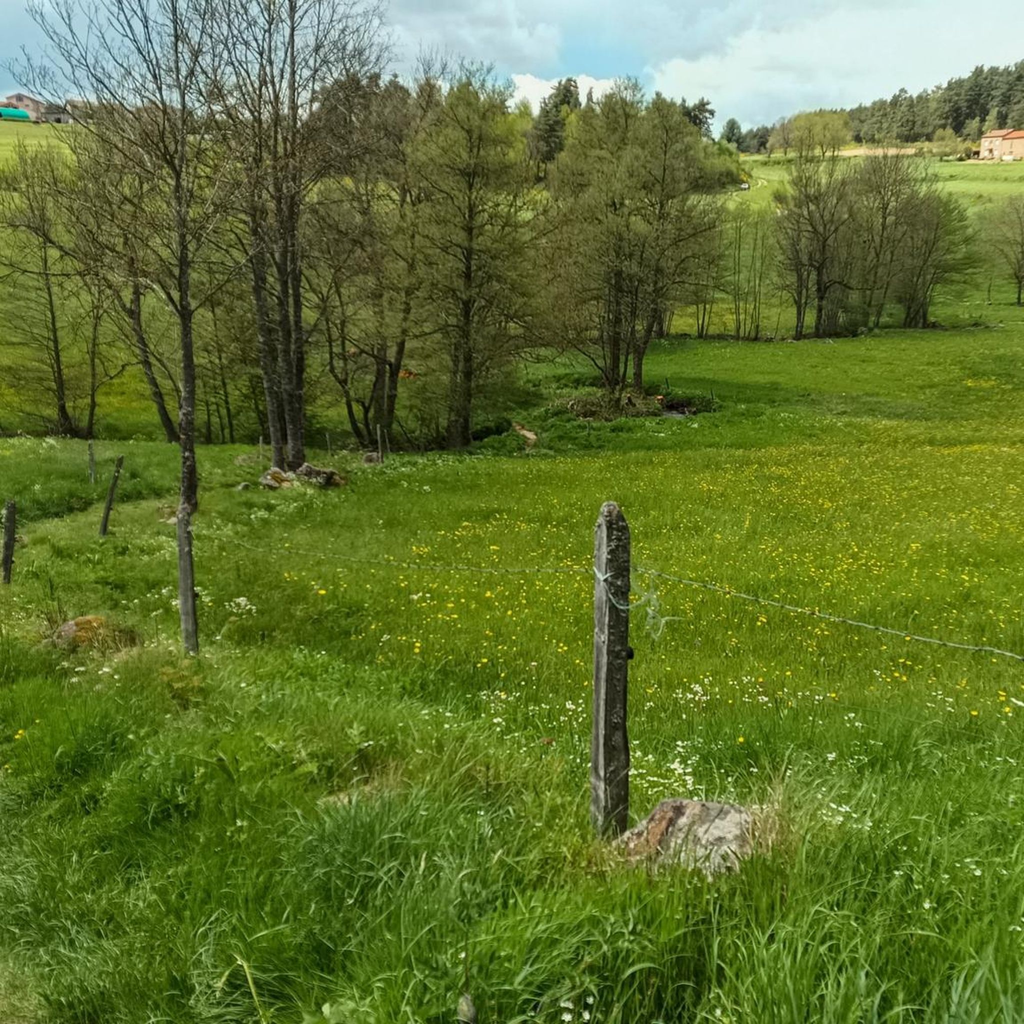
Jogging routes around Sainte-Sigolène traverse a diverse landscape characterized by crystalline rivers, lush forests, and rolling hills. The region, situated at an altitude of approximately 800 meters, offers an environment with fresh air and varied terrain. Runners can explore deep gorges, such as the Gorges de Vaubarlet and Gorges du Lignon, which feature winding paths through verdant forests and river crossings. The area's plateaus and valleys provide a mix of elevated terrain and gentler routes suitable for different running preferences.
…Last updated: June 30, 2026
22
runners
13.4km
01:28
270m
270m
Moderate run. Good fitness required. Mostly paved surfaces. Suitable for all skill levels.
4.0
(1)
11
runners
9.19km
01:06
240m
240m
Moderate run. Good fitness required. Mostly paved surfaces. Suitable for all skill levels.

Sign up for free
9
runners
7.14km
00:46
110m
110m
Moderate run. Good fitness required. Mostly paved surfaces. Suitable for all skill levels.
7
runners
10.4km
01:14
330m
330m
Hard run. Very good fitness required. Mostly paved surfaces. Suitable for all skill levels.
3
runners
14.9km
01:39
280m
280m
Moderate run. Good fitness required. Mostly paved surfaces. Suitable for all skill levels.
Get access to more routes and recommendations from other explorers.
Sign up for free
Already have an account?
Our route recommendations are based on thousands of hikes, rides, and runs completed by other people on komoot.
Start today with a free account
Your next adventure awaits.
Login or Signup

Frequently Asked Questions
How many running routes are available in Sainte-Sigolène?
Sainte-Sigolène offers a wide selection of running routes, with over 40 trails available for exploration. These routes cater to various fitness levels, ranging from easy paths to more challenging runs.
What is the overall difficulty level of running trails in Sainte-Sigolène?
The running trails in Sainte-Sigolène offer a good mix of difficulties. You'll find 2 easy routes, 31 moderate routes, and 7 difficult routes, ensuring options for all experience levels, from casual joggers to seasoned trail runners.
What kind of terrain can I expect on jogging routes around Sainte-Sigolène?
Jogging routes around Sainte-Sigolène traverse a diverse landscape. You can expect to run through lush forests, along crystalline rivers, and over rolling hills. The region features deep gorges like the Gorges de Vaubarlet and Gorges du Lignon, as well as plateaus and valleys, offering varied terrain and fresh air at an altitude of approximately 800 meters.
Are there any easy running routes suitable for beginners in Sainte-Sigolène?
Yes, Sainte-Sigolène has routes suitable for beginners. While specific easy routes are not detailed here, the region's diverse terrain includes gentler paths through valleys and around areas like Lac de Lavalette, which can be ideal for a relaxed run or warm-up.
Can I find longer distance running trails in Sainte-Sigolène?
Absolutely. For those looking for longer runs, the Étang du Villard loop from Sainte-Sigolène is a great option, covering approximately 14.9 km (9.2 miles) through valleys and past the Villard Pond. Another substantial route is the Le Suc loop from Sainte-Sigolène, which is about 13.4 km (8.4 miles) long.
Are there any scenic running trails with notable landmarks or views?
Many routes offer scenic views. The region is known for its breathtaking gorges, such as the Gorges du Lignon, which can be incorporated into longer runs. You might also encounter the spectacular Himalayan footbridge at Gorges du Lignon, offering stunning views 78 meters above the river. The Château de la Tour loop from Camping de Vaubarlet winds through verdant forests near the Gorges de Vaubarlet, providing picturesque surroundings.
What do other runners say about the trails in Sainte-Sigolène?
The running routes in Sainte-Sigolène are highly regarded by the komoot community, holding an average rating of 3.9 stars from over 30 reviews. More than 850 runners have used komoot to explore the varied terrain, often praising the natural beauty and diverse landscapes.
Are there any running routes that pass by water features?
Yes, Sainte-Sigolène's landscape is characterized by crystalline rivers and streams. Routes often wind through areas like the Gorges de Vaubarlet, crossing the Dunière river, or along the Lignon river. The Étang du Villard loop from Sainte-Sigolène also takes you past the Villard Pond, offering pleasant waterside views.
Can I find circular jogging routes in the area?
Many of the popular jogging routes in Sainte-Sigolène are designed as loops, providing convenient circular paths. Examples include the Le Suc loop from Sainte-Sigolène, the Château de la Tour loop from Camping de Vaubarlet, and the Étang du Villard loop from Sainte-Sigolène.
Are there any specific training loops for runners in Sainte-Sigolène?
While not directly in Sainte-Sigolène, the nearby Haute-Ardèche-Lignon-Mézenc trail station offers a dedicated 2.4 km training loop along the Lignon river, perfect for endurance work and speed sessions.
What are some interesting places to see near the running trails?
Beyond the natural beauty, you can discover several points of interest. The Himalayan footbridge at Gorges du Lignon is a spectacular sight. You might also encounter the Greenway along the Siaulme river or the historic La Papeterie Mill. For relaxation, the Lake Lavalette area offers a beautiful setting.
Are there any running routes that offer significant elevation gain for a challenge?
Yes, given Sainte-Sigolène's location at around 800 meters altitude and its rolling hills, many routes offer notable elevation changes. For example, the Running loop from Sainte-Sigolène is classified as difficult and features over 300 meters of elevation gain, providing a good challenge for runners seeking a more intense workout.
Most popular routes around Sainte-Sigolène
Most popular attractions around Sainte-Sigolène

Get inspired with the komoot mobile app


Explore more
Browse the best Running Trails & Routes in other regions.
