The best cycling routes around Dunières
4.5
(224)
2,464
riders
16
rides
Touring cycling around Dunières offers a diverse landscape, situated at an altitude of 770 meters in the Haute-Loire department. The region is characterized by extensive forests, covering over 50% of the commune's land, alongside rolling hills and ancient volcanic cones known as "sucs." Dedicated greenways like the Via Fluvia and La Tracolline provide accessible routes, while other trails navigate varied terrain, including both paved and unpaved sections. This environment provides a range of touring cycling experiences, from leisurely rides through…
Last updated: October 16, 2026
5.0
(2)
5
riders
57.0km
03:46
820m
820m
Hard bike ride. Very good fitness required. Mostly paved surfaces. Suitable for all skill levels.
4.7
(20)
158
riders
44.8km
02:46
470m
470m
Hard bike ride. Very good fitness required. You may need to push your bike for some segments of this route.

5.0
(2)
42
riders
18.6km
01:10
200m
200m
Moderate bike ride. Good fitness required. Mostly paved surfaces. Suitable for all skill levels.
13
riders
43.4km
04:13
1,120m
1,120m
Hard bike ride. Very good fitness required. Mostly paved surfaces. Suitable for all skill levels.
5.0
(2)
18
riders
12.7km
00:48
140m
140m
Hard bike ride. Great for any fitness level. You may need to push your bike for some segments of this route.
Get access to more routes and recommendations from other explorers.
Already have an account?
Our route recommendations are based on thousands of hikes, rides, and runs completed by other people on komoot.
Start today with a free account
Your next adventure awaits.

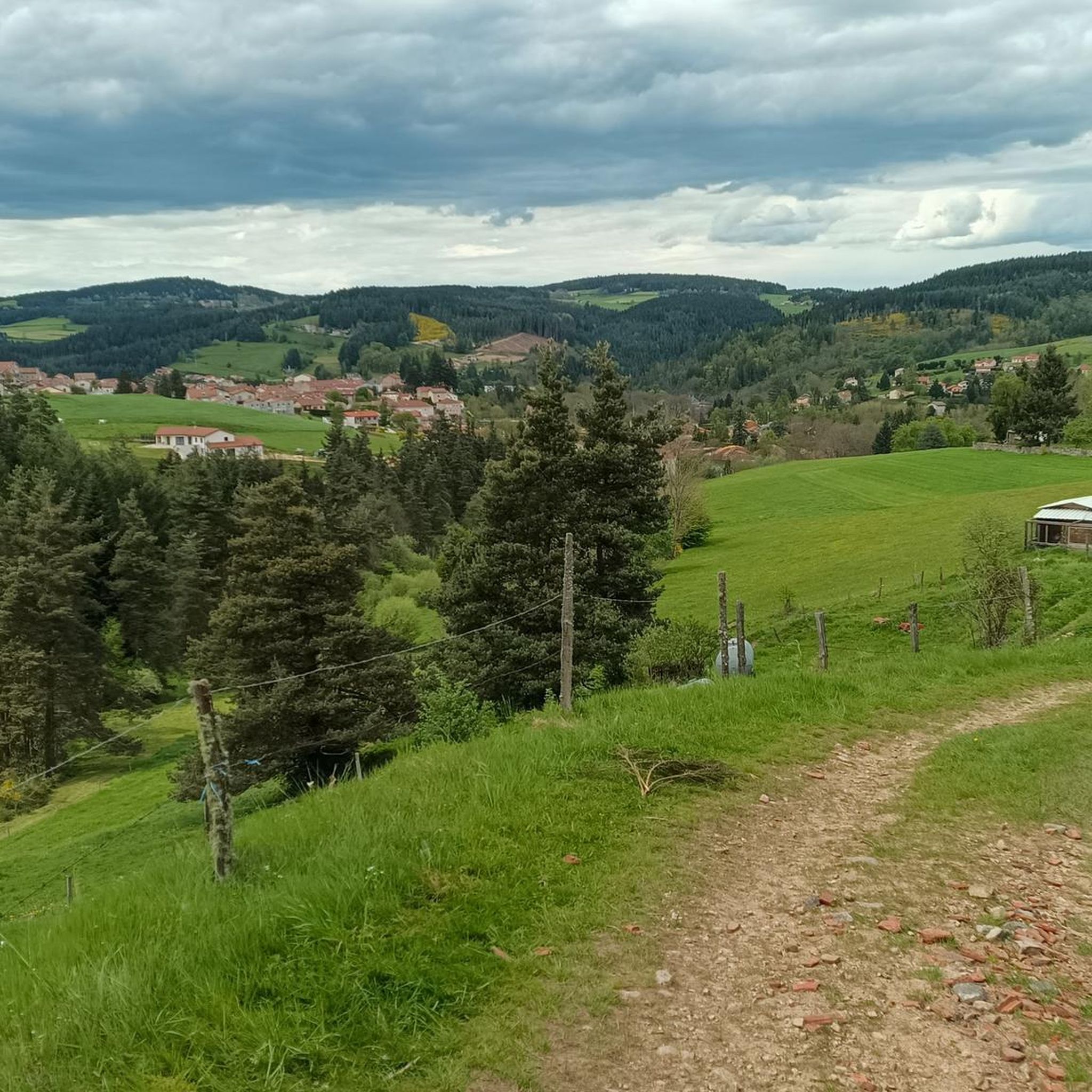
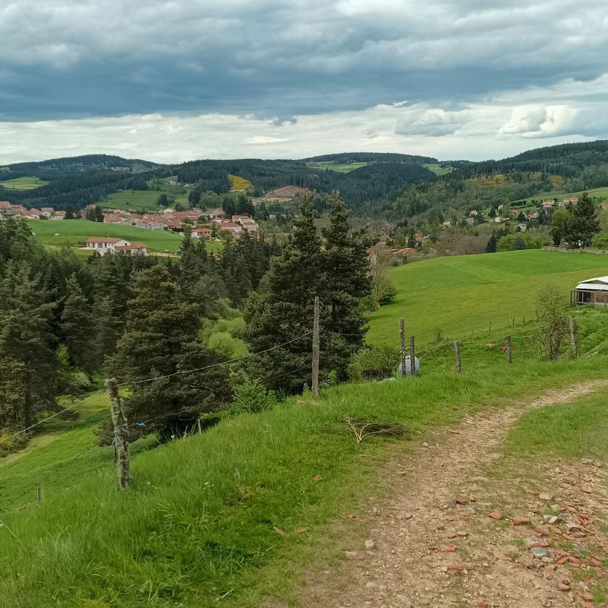
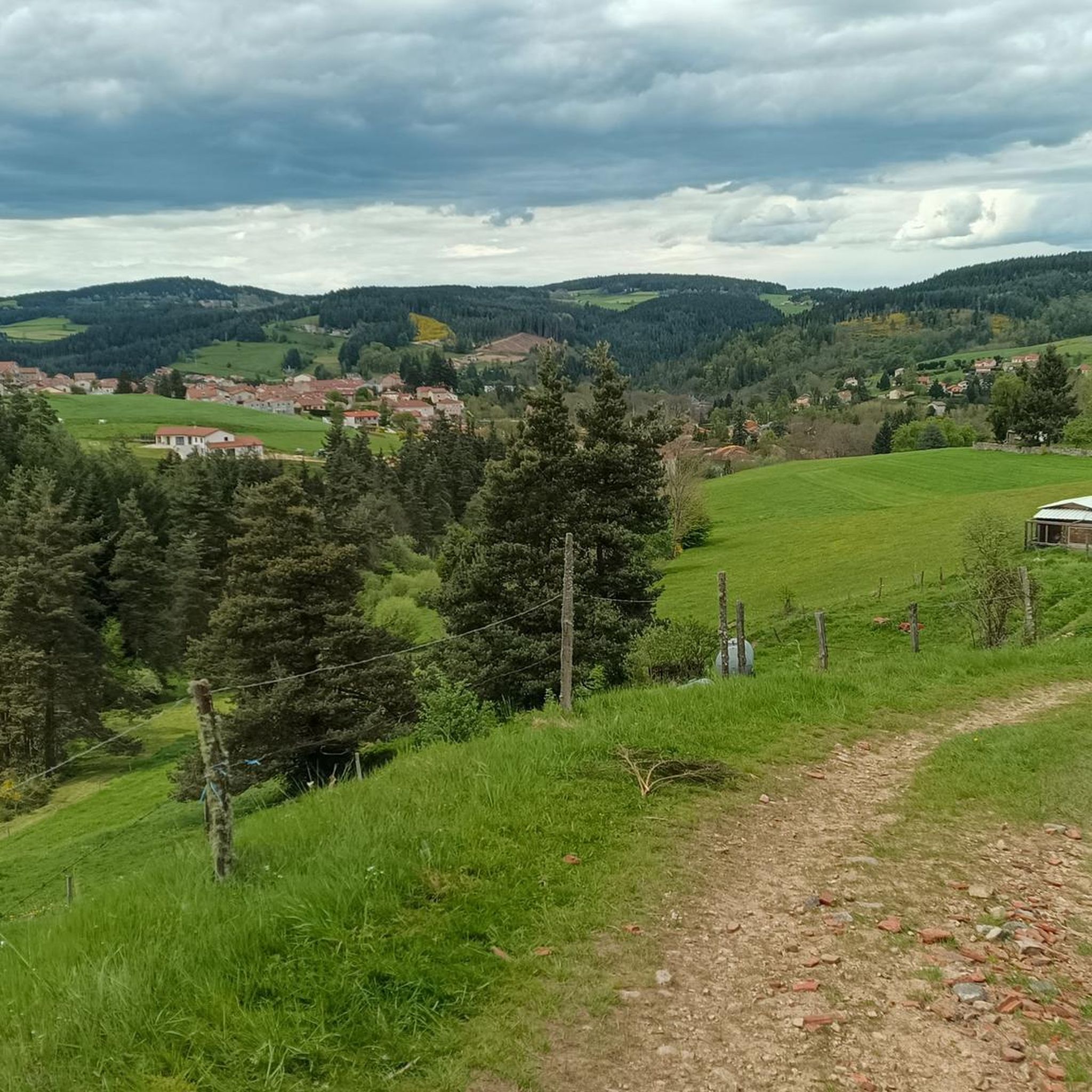
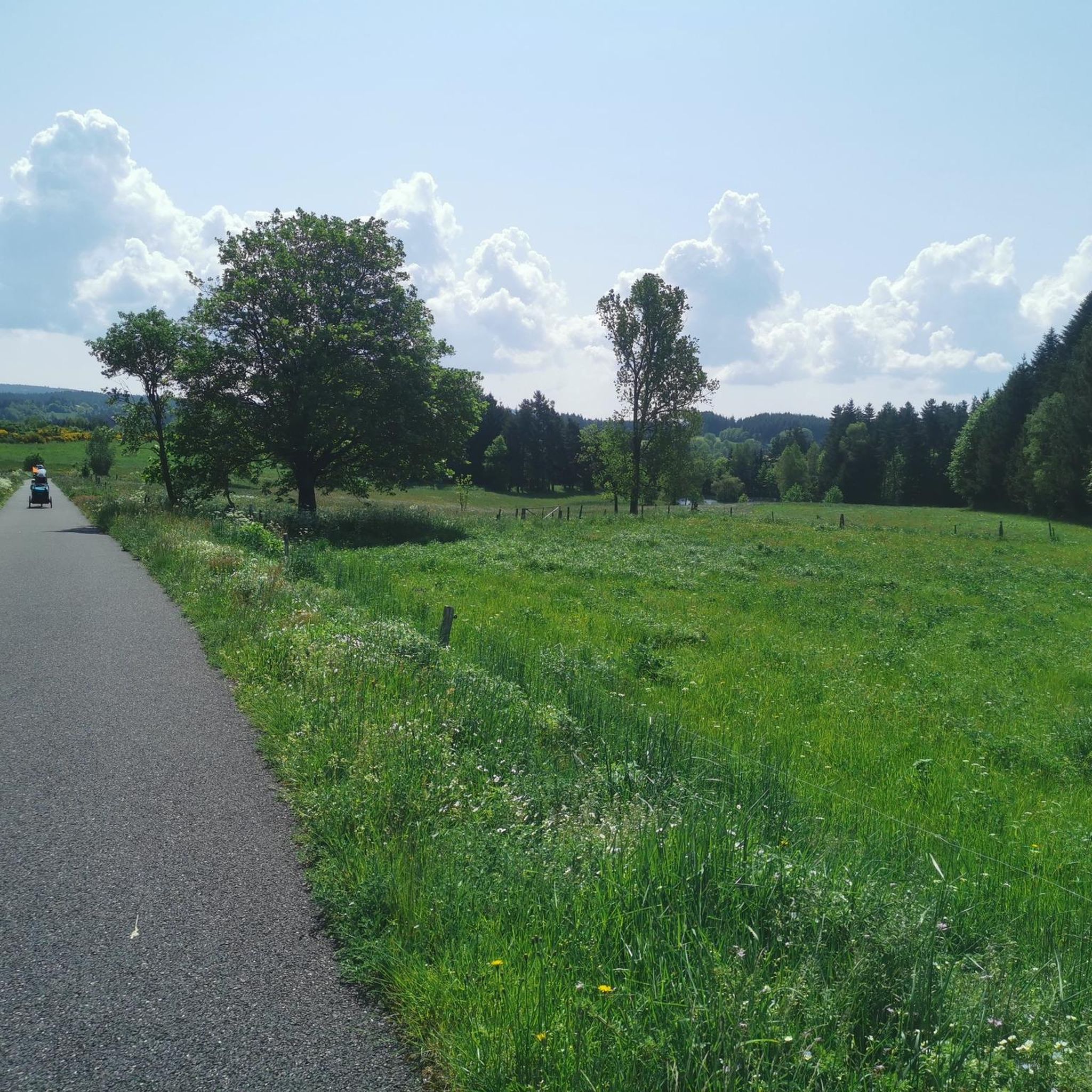

Other adventures around Dunières

Tips from the Community

This former train station offers a lovely setting for a stop on the Via Fluvia. The area is ideal for a picnic, thanks to its landscaped area.
0
0
The Velay-Express is a historic train that allows you to discover the landscapes of Ardèche and Haute-Loire in complete tranquility. Raucoules station is one of the four stops offered.
2
0

Very beautiful section from Montfaucon-en-Velay, towards Tence and Yssingeaux, with a view of all the Yssingelais peaks, and in the background, the Mézenc.
2
0
The station inn (Table des 2L) is undergoing a magnificent restoration!
0
0

After Montfaucon, the view is magnificent, embracing an opening of countryside landscapes as you wish!
1
0

Le Riotord is a town full of assets located in the far east of Haute-Loire. It is at the crossroads of many well-marked and maintained hiking trails such as the GR 7 and the path to Saint-Jacques-de-Compostelle but also cycling routes such as the Via Fluvia and the Grande Traversée à VTT de la Haute-Loire. The town has a beautiful 11th century church or a pond ideal for a little nap by the water.
0
0
Beautiful church, and breathtaking view of the Mézenc and the Pic du Lizieux
0
0

Superb bike path, not always continuous, but one of the longest and most pleasant that I have been able to travel.
0
0
Frequently Asked Questions
How many touring cycling routes are available around Dunières?
There are over 20 touring cycling routes available around Dunières, offering a diverse range of experiences for cyclists.
What are the difficulty levels of touring cycling routes in Dunières?
The routes around Dunières cater to various fitness levels. While there is 1 easy route and 3 moderate routes, the majority, 17 routes, are classified as difficult, often featuring significant elevation changes and varied terrain.
Are there any easy touring cycling routes suitable for beginners or families in Dunières?
Yes, Dunières offers some easier options. The region features dedicated greenways like the Via Fluvia and La Tracolline, which are generally paved and suitable for all skill levels, including families. While most routes are more challenging, there is at least one route specifically rated as easy.
What kind of terrain can I expect on touring cycling routes in Dunières?
You can expect a varied landscape, from mostly paved greenways like the Via Fluvia to routes that navigate through rolling, verdant hills and extensive forests. Some routes might include unpaved sections, and the area is characterized by ancient volcanic cones ('sucs') and elevated points, leading to both gentle paths and more strenuous climbs.
Are there circular touring cycling routes around Dunières?
Yes, many touring cycling routes around Dunières are designed as loops, allowing you to start and finish in the same location. Examples include the Tence and Sarcenas viaduct — loop on the Vivarais-Lignon plateau and the Sarcenas Viaduct loop from Dunières.
What natural features can I see while cycling around Dunières?
Dunières is rich in natural beauty. You can cycle through extensive forests, which cover over 50% of the commune's land. The region also features ancient volcanic cones known as 'sucs' and offers views of the Monts du Velay. The Via Fluvia in the forest is a highlight, providing a scenic ride through dense woodlands.
Are there any scenic viewpoints along the touring cycling routes in Dunières?
Absolutely. The region boasts several elevated points offering panoramic views. The Mont Chiniac provides expansive vistas across the Cévennes, the Sucs du Velay, and even the distant Alps. The Crêt de Chaussître also offers views of the Monts du Velay, Mont Mezenc, and the Forez plateaus.
What are some interesting landmarks or attractions near the cycling routes in Dunières?
Beyond the natural landscapes, you can explore several points of interest. The nearby Lake Lavalette is a significant natural attraction for aquatic leisure. You might also encounter historical sites like the 11th-century Saint-Martin church in Dunières or the La Papeterie Mill, an old paper mill with historical significance.
What do other touring cyclists enjoy most about cycling in Dunières?
The area is highly rated by the komoot community, with an average score of 4.3 stars from over 120 reviews. Cyclists often praise the diverse landscape, the well-maintained greenways like the Via Fluvia, and the opportunity to explore both tranquil forests and challenging volcanic terrain.
Is there a specific route that highlights the Via Fluvia greenway?
Yes, the Via fluvia in the forest – Waterways loop from Le Pont de Miramand is a difficult 34.5-mile (55.6 km) path that specifically follows the scenic Via Fluvia greenway through dense forest, offering a great way to experience this dedicated cycling path.
Are there any routes that pass by the Sarcenas Viaduct?
Yes, the Sarcenas Viaduct loop from Dunières is a 21.6-mile (34.7 km) trail that leads through rolling hills and directly past the impressive Sarcenas Viaduct, making it a popular choice for those wanting to see this landmark.
Most popular attractions around Dunières

Get inspired with the komoot mobile app


Explore more
Browse the best Cycling routes in other regions.
