The best walks and hikes around Berneuil
4.6
(128)
836
hikers
144
hikes
Hiking around Berneuil offers diverse landscapes across different regions of France. The terrain often features slightly hilly areas, with opportunities to explore dense woodlands, tranquil river valleys, and unique natural features like ponds and former quarries. The region provides a network of paths suitable for various fitness levels, ranging from gentle walks through green meadows to more challenging routes in forested areas.
Best hiking trails around Berneuil
- The most popular hiking route is Étang du Clone Flanquet loop from Les…
Last updated: October 14, 2026
4.0
(1)
14
hikers
19.3km
04:59
100m
100m
Moderate hike. Good fitness required. Easily-accessible paths. Suitable for all skill levels.
5.0
(2)
14
hikers
7.99km
02:07
80m
80m
Moderate hike. Good fitness required. Easily-accessible paths. Suitable for all skill levels.

10
hikers
10.1km
02:40
80m
80m
Moderate hike. Good fitness required. Easily-accessible paths. Suitable for all skill levels.
4.0
(1)
4
hikers
10.9km
02:50
80m
80m
Moderate hike. Good fitness required. Easily-accessible paths. Suitable for all skill levels.
4.5
(2)
2
hikers
11.4km
02:59
80m
80m
Moderate hike. Good fitness required. Easily-accessible paths. Suitable for all skill levels.
Get access to more routes and recommendations from other explorers.
Already have an account?
Our route recommendations are based on thousands of hikes, rides, and runs completed by other people on komoot.
Start today with a free account
Your next adventure awaits.




Tips from the Community

The Chaniers ferry (Charente-Maritime) is one of the last traditional river ferries still in operation in France. It allows crossing the Charente River between Chaniers and Courcoury, a few kilometers downstream from Saintes. A crossing used for centuries History of the Chaniers ferry The ferry crossing at Chaniers is very old: it dates back to the Middle Ages. In the mid-17th century, it was already an important crossing point on the Charente. It was not only used to cross the river: it also allowed residents to access the meadows on the other side, particularly for agricultural activities. In the early 20th century, the Chaniers ferry was part of a much larger network of crossings on the Charente. In 1909, thirteen ferries were still recorded in Charente-Inférieure, including the one in Chaniers. Ferries were essential at the time before the proliferation of bridges. Why "chain ferry"? The principle consists of holding the ferry on a chain connecting the two banks. The ferryman uses this chain to move the boat forward and keep it on its course despite the current. In Chaniers, the current ferry is motorized, unlike the ferry in Dompierre-sur-Charente, which is operated manually. The Tourist Office, however, still describes it as a "chain ferry," and the municipality as the traditional crossing method connecting Chaniers to Courcoury. The ferry today The crossing takes place between Le Communal in Chaniers and the Courcoury bank. It is free and can transport pedestrians, cyclists, and motorized vehicles. Its operation depends in particular on the flow of the Charente River. The municipality of Chaniers officially presents "the port of Chaniers and its chain ferry" as an element of its local heritage. Important point: I am correcting my previous message: the Chaniers ferry is not simply a "19th-century ferry." The crossing has been attested since the Middle Ages; it is its mode of operation and its equipment that have evolved over the centuries.
0
0

I really enjoyed this ride. I’m 46, I did it on a 40 year old road bike, it’s more suited to a cyclocross bike!
1
0
Great hike, to be done at the end of April, beginning of May for the colors or in the fall Appreciable tranquility
1
0

Built in the 11th and 12th centuries, this church, listed as a historic monument in 1912, is a spectacular work of art. Well worth the drive past when crossing town!
0
0

There is also drinking water here.
0
0

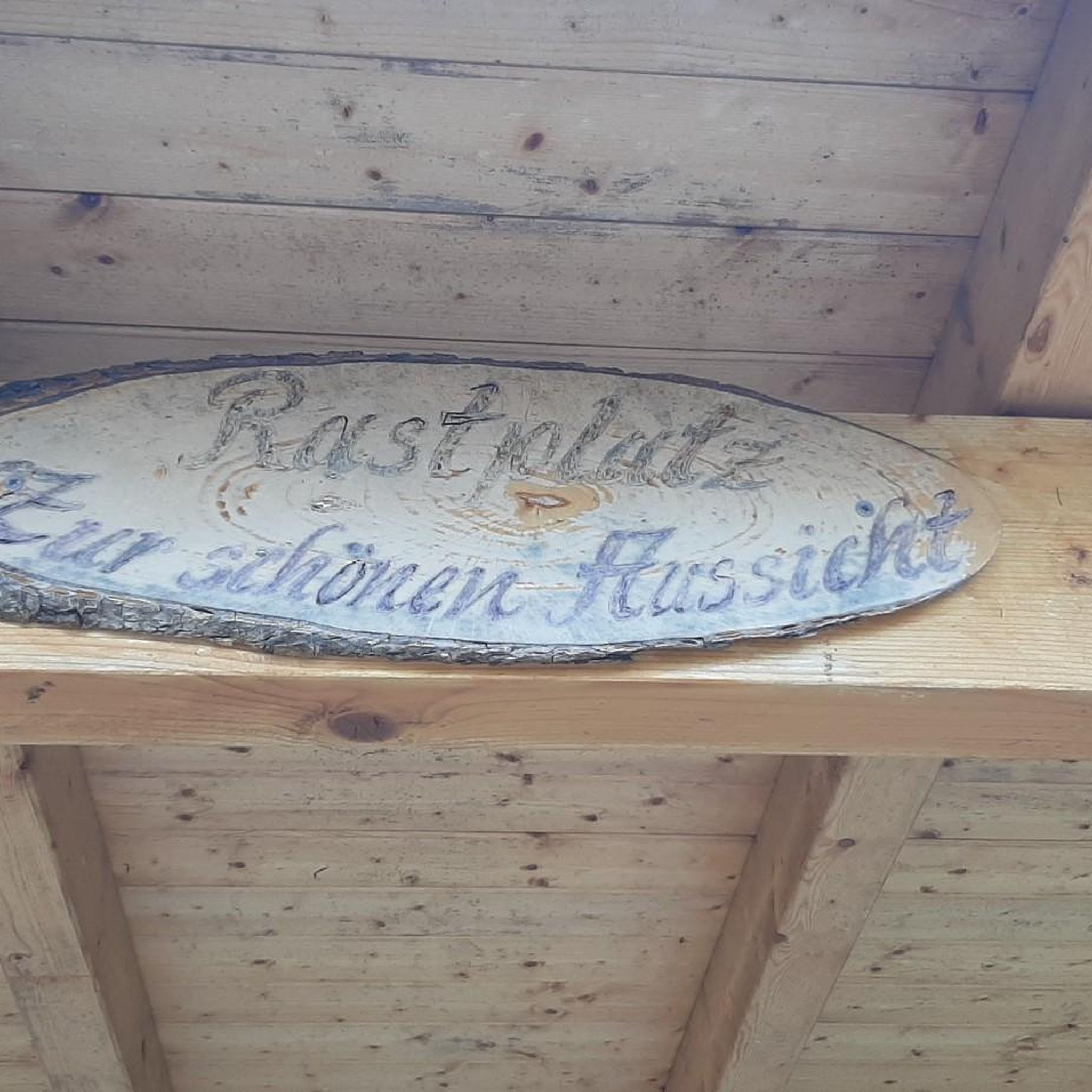
The place offers peace and quiet. A book to enter is out. Fresh floral decoration creates a very nice feeling. Lovingly done.
1
0
Amazing what is worth seeing. A light wind makes the stay pleasant even in the sun. Nearby is a base of the French Air Force.
1
0
Frequently Asked Questions
How many hiking trails are available around Berneuil?
Berneuil offers a wide selection of hiking opportunities, with nearly 130 routes available. These range from easy strolls to more moderate excursions, ensuring options for various fitness levels.
What kind of terrain can I expect on hikes in Berneuil?
The terrain around Berneuil is generally characterized by slightly hilly areas, extensive forests, and tranquil river valleys. Depending on the specific location, you might encounter coastal paths, salt marshes, or green meadows, particularly in the Charente-Maritime region, or dense woodlands and open spaces in areas like Hauts-de-France.
Are there any easy hiking trails suitable for beginners in Berneuil?
Yes, Berneuil has plenty of options for beginners. Out of the nearly 130 available routes, 62 are classified as easy, offering gentle walks through varied landscapes. These paths are generally accessible and suitable for those new to hiking or looking for a relaxed outdoor experience.
What natural features or landmarks can I see while hiking near Berneuil?
Hiking around Berneuil offers a chance to discover diverse natural and historical points of interest. In Charente-Maritime, you might explore the fascinating Pons Donjon, or the tranquil Guizengeard ponds and former quarries. Other notable sites include the Abbaye aux Dames de Saintes and the impressive Saint-Pierre Cathedral (Saintes). The region also features serene river valleys and dense woodlands.
Are there any circular hiking routes in Berneuil?
Yes, many of the trails around Berneuil are designed as circular routes, allowing you to start and end at the same point. An example is the Hiking loop from Chaniers, which is a moderate 8.0 km path offering views of agricultural land and local villages. Another option is the Hiking loop from Préguillac, a 10.8 km trail through varied rural landscapes.
What do other hikers say about the trails in Berneuil?
The hiking trails in Berneuil are highly regarded by the komoot community, holding an average rating of 4.5 stars from over 100 reviews. Hikers often praise the diverse landscapes, from tranquil river valleys to extensive forests, and the well-maintained paths suitable for various ability levels.
Are there family-friendly hiking options in Berneuil?
Yes, Berneuil offers numerous family-friendly hiking options, particularly among its 62 easy routes. These trails are generally less challenging and shorter, making them suitable for families with children. The diverse landscapes, including green meadows and accessible paths, provide an enjoyable outdoor experience for all ages.
Can I bring my dog on the hiking trails around Berneuil?
Many trails in the Berneuil region are dog-friendly, allowing you to enjoy the outdoors with your canine companion. It's always recommended to keep dogs on a leash, especially in areas with wildlife or near agricultural land, and to check local regulations for specific routes or protected areas.
What is the best time of year to go hiking in Berneuil?
The best time to hike in Berneuil generally depends on your preference. Spring and autumn offer pleasant temperatures and vibrant scenery, with blooming flowers or colorful foliage. Summer is also popular, though some trails might be warmer. Winter hikes are possible, especially on accessible paths, offering a different, quieter perspective of the landscapes.
Are there any long-distance hiking routes or multi-day options near Berneuil?
While many routes are day hikes, the broader Charente-Maritime department boasts nearly 5,000 km of hiking trails, including coastal paths and routes through the Marais Poitevin, which could be combined for longer excursions. For example, the Étang du Clone Flanquet loop from Les Gonds is a moderate 19.3 km trail that takes about 5 hours, offering a longer day hike experience.
Are there any specific trails that offer views of water features like rivers or ponds?
Yes, the region around Berneuil features several water bodies. In Charente-Maritime, you can find trails that pass by the serene Vienne River or the unique Guizengeard ponds. The Étang du Clone Flanquet loop from Les Gonds specifically explores the local countryside and passes by the Étang du Clone Flanquet, offering views of this water feature.
Are there opportunities for hiking in forested areas near Berneuil?
Absolutely. The Berneuil region is known for its extensive forests. Near Berneuil-en-Bray in Hauts-de-France, you can explore the Bois du Parc loop or venture into the majestic Forêt Domaniale de Chantilly, which offers circuits up to 20 km through dense woodlands. These areas provide shaded paths and a rich natural environment.
Most popular attractions around Berneuil

Get inspired with the komoot mobile app


Explore more
Browse the best Hikes in other regions.
