The best walks and hikes around Saint-Amans-Soult
4.5
(556)
4,092
hikers
149
hikes
Hiking around Saint-Amans-Soult offers access to the diverse landscapes of the Montagne Noire and the Haut-Languedoc Regional Nature Park. The region is characterized by extensive chestnut and beech forests, deep gorges, and varied terrain ranging from forested slopes to high plateaus. Numerous waterfalls and the Thoré Valley further define the natural environment, providing a rich setting for outdoor activities.
Best hiking trails around Saint-Amans-Soult
- The most popular hiking route is Pic de Nore – Nore Gate loop from Saint-Amans-Soult,…
Last updated: July 4, 2026
3.3
(3)
36
hikers
19.1km
06:28
950m
950m
Hard hike. Very good fitness required. Easily-accessible paths. Suitable for all skill levels.
3.0
(2)
19
hikers
15.9km
05:42
940m
940m
Hard hike. Very good fitness required. Easily-accessible paths. Suitable for all skill levels.

Sign up for free
5.0
(1)
14
hikers
7.52km
02:03
110m
110m
Moderate hike. Good fitness required. Easily-accessible paths. Suitable for all skill levels.
10
hikers
11.4km
03:17
280m
280m
Moderate hike. Good fitness required. Easily-accessible paths. Suitable for all skill levels.
4.8
(5)
8
hikers
15.4km
04:35
480m
480m
Moderate hike. Good fitness required. Easily-accessible paths. Suitable for all skill levels.
Get access to more routes and recommendations from other explorers.
Sign up for free
Already have an account?
Our route recommendations are based on thousands of hikes, rides, and runs completed by other people on komoot.
Start today with a free account
Your next adventure awaits.
Login or Signup
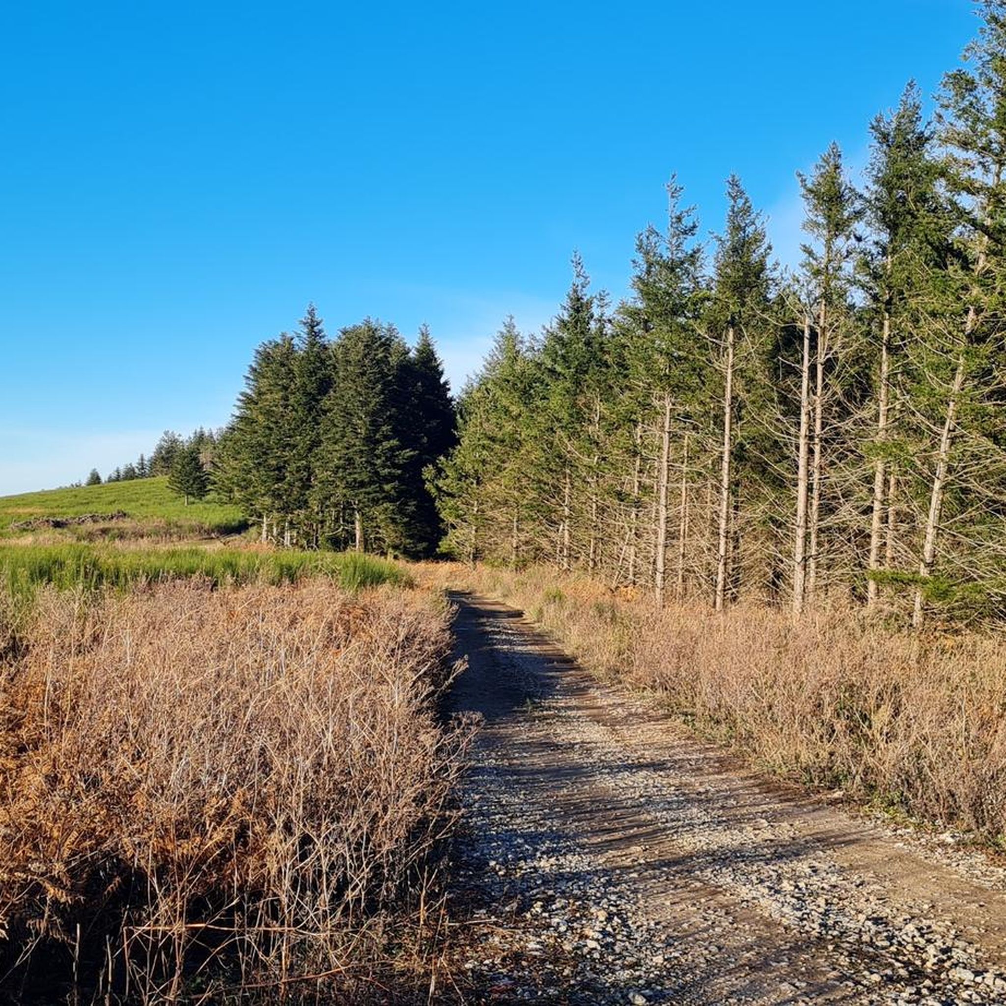
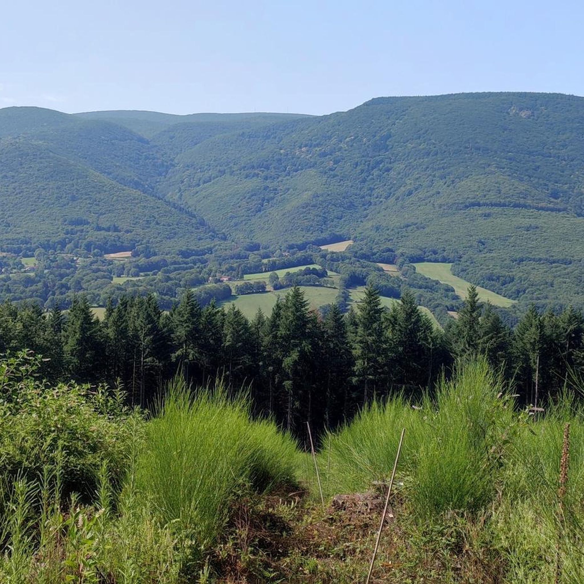
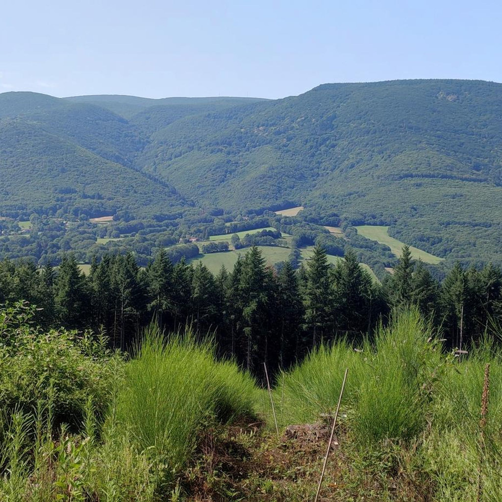
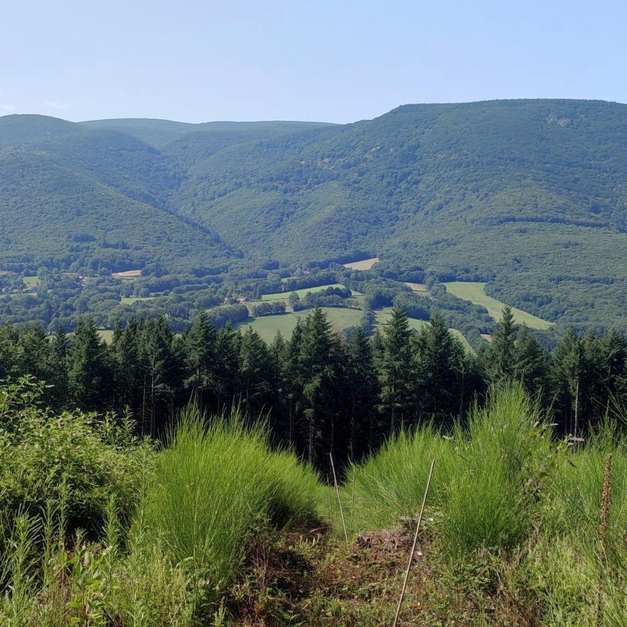

Tips from the Community

Save your energy for the last 5km, be careful when it's windy.
0
0

We like to compare, the Pic de Nore is a small Ventoux, its climbs from Mazamet or Villeneuve-Minervois are not as steep as that of the Ventoux from Bédoin but they still have to be earned. They are 17 and 22 km respectively, have an average gradient of 5.5% and 4.56%, with a maximum gradient of 11.8% and 10%. For my part, I chose to join Pradelles-Cabardès via the forests from Limousis, passing in particular the Soulanes de Nore, I was treated to some good slopes with a double-digit percentage ... Two legends would explain its name: in the first it is the fairy Nore who, annoyed by the damage caused to the crops by the Cers wind, would have planted her pike in the ground there, and as if by magic the rocks would have accumulated around to form the Pique de Nore. In the second, the wind of Cers is still blamed for its damage to human crops, not only there, and it is Nore, Bug and Arach who went to complain to Jupiter. Jupiter does not like to be disturbed, he transformed Nore into a mountain and Bug and Arach into the summit of Bugarach ...
3
0


Very nice walk, varied nature, beautiful view, very pretty heather ☺️ Partially shaded.
1
1

A big climb from the exit of the village but the beginning is tarmac up to the sheepfold, the rest in the woods is less steep but continues on a path
0
0
very beautiful view of the thore valley and saint amans de soults
0
0

Despite its low altitude (only 1,211 meters), the Pic de Nore, located in the Aude department and the highest point of the Montagne Noire, can experience extremely harsh weather conditions. You can't miss its imposing red and white television antenna.
0
0

The Pic de Nore is a small flat peak that culminates at 1,211 meters. It offers a superb 360° panorama of the Montagne Noire and the south-western limits of the Haut-Languedoc regional natural park.
2
0
Frequently Asked Questions
How many hiking trails are available around Saint-Amans-Soult?
There are over 130 hiking trails around Saint-Amans-Soult, catering to various skill levels. You'll find everything from easy strolls to challenging mountain ascents within the Montagne Noire and Haut-Languedoc Regional Natural Park.
Are there any family-friendly hiking options in Saint-Amans-Soult?
Yes, Saint-Amans-Soult offers several easier routes suitable for families. For instance, the Saint-Amans-Valtoret loop from Saint-Amans-Soult is a moderate 7.5 km path that can be completed in about 2 hours, providing a pleasant local exploration without excessive difficulty. The "Passa Païs" greenway is also an excellent, gentle option for walks with children.
Can I find circular walks around Saint-Amans-Soult?
Absolutely. Many of the trails in the area are designed as circular routes, allowing you to start and end in the same location. A popular moderate option is the La croix de la roque loop from Saint-Amans-Soult, which covers 7.3 km and offers varied terrain.
Are there any hikes that feature waterfalls in the Saint-Amans-Soult area?
Yes, the region is known for its beautiful waterfalls. The "Les Raynauds" trail, for example, provides access to the Cascade de l'Estrèpe. You can also explore the Banquet Gorge, carved by the river Arn, which features stunning natural settings and cascades.
What kind of views can I expect on hikes in Saint-Amans-Soult?
Hikes around Saint-Amans-Soult offer diverse and rewarding views. From the forested slopes of the Montagne Noire, you'll often emerge to panoramic vistas. The Pic de Nore – Nore Gate loop from Saint-Amans-Soult, for example, leads to the highest point of the Montagne Noire, providing expansive 360° views of the surrounding park and plains.
What do other hikers enjoy most about the trails in Saint-Amans-Soult?
The hiking trails in Saint-Amans-Soult are highly rated by the komoot community, with an average score of 4.5 stars from over 400 reviews. Hikers often praise the diverse landscapes, from dense forests to open plateaus, and the well-maintained paths that allow for an immersive experience in the Haut-Languedoc Regional Natural Park.
Are there any interesting landmarks or attractions to see along the hiking trails?
Yes, many trails integrate historical and natural points of interest. You might encounter the 13th-century bastide town of Saint-Amans-Soult, or the Château de Soult-Berg with its English park. For natural landmarks, consider visiting Lac de Birotos or Lac des Montagnès, which are popular spots in the wider area.
Are dogs allowed on the hiking trails in Saint-Amans-Soult?
Generally, dogs are welcome on trails in the Haut-Languedoc Regional Natural Park, but it's always best to keep them on a leash, especially in areas with livestock or protected wildlife. Always ensure you clean up after your pet to preserve the natural environment for everyone.
Are there any long-distance hiking opportunities near Saint-Amans-Soult?
Yes, a section of the long-distance GR7® trail runs along the ridge of the Montagne Noire, offering extended hiking opportunities and prime viewpoints. Additionally, the "Passa Païs" greenway, a former railway line, provides an 80-kilometer route ideal for longer walks or cycling through the heart of the park.
What is the best time of year to go hiking in Saint-Amans-Soult?
The region is beautiful year-round, but spring and autumn offer particularly pleasant conditions for hiking, with milder temperatures and vibrant natural colors. Summer can be warm, making early morning or late afternoon hikes more comfortable. Winter hiking is also possible, especially on lower-elevation trails, though some higher routes might require more preparation.
Are there any challenging hikes for experienced trekkers?
For experienced hikers seeking a challenge, the Pic de Nore – Nore Gate loop from Saint-Amans-Soult is a difficult 18.8 km trail with significant elevation gain, taking over 6 hours to complete. This route offers a demanding ascent to the Montagne Noire's highest point.
Can I explore gorges or river valleys on a hike?
Yes, the region is characterized by its waterways and gorges. The Gorges du Banquet – Saint-Amans-Valtoret loop from Saint-Amans-Soult is a moderate 15.4 km route that takes you through the stunning Banquet Gorge, carved by the river Arn, offering a unique natural experience.
Most popular routes around Saint-Amans-Soult
Most popular attractions around Saint-Amans-Soult

Get inspired with the komoot mobile app


Explore more
Browse the best Hikes in other regions.
