The best running trails around Vieilmoulin
4.4
(17)
889
runners
52
runs
Jogging routes around Vieilmoulin offer a diverse landscape, characterized by varied terrain, extensive deciduous forests, and limestone plateaus. The region features undulating routes with elevations ranging from 428 to 587 meters, providing a mix of shaded paths and open stretches. Joggers can explore areas with cliffs and valleys, including the Golotte stream, or opt for flatter paths along the Burgundy Canal. This blend of natural features caters to different running preferences and fitness levels.
Best jogging routes around Vieilmoulin
- The…
Last updated: July 3, 2026
5.0
(2)
43
runners
10.6km
01:17
190m
190m
Moderate run. Good fitness required. Mostly paved surfaces. Suitable for all skill levels.
4.0
(1)
19
runners
8.23km
00:55
60m
60m
Moderate run. Good fitness required. Mostly paved surfaces. Suitable for all skill levels.

Sign up for free
18
runners
8.59km
00:58
40m
40m
Moderate run. Good fitness required. Mostly paved surfaces. Suitable for all skill levels.
8
runners
10.6km
01:06
80m
80m
Moderate run. Good fitness required. Mostly paved surfaces. Suitable for all skill levels.
3
runners
13.8km
01:36
350m
350m
Hard run. Very good fitness required. Mostly paved surfaces. Suitable for all skill levels.
Get access to more routes and recommendations from other explorers.
Sign up for free
Already have an account?
Our route recommendations are based on thousands of hikes, rides, and runs completed by other people on komoot.
Start today with a free account
Your next adventure awaits.
Login or Signup


Tips from the Community

Panthier Lake (or Panthier Reservoir) is a 130 ha lake in Côte d'Or (Burgundy, administrative region Bourgogne-Franche-Comté) located in the communes of Vandenesse-en-Auxois, Créancey and Commarin. It is the largest lake in Côte-d'Or and one of the five reservoirs created to supply the Burgundy Canal. It is also a bird sanctuary and is listed in the general inventory of historical heritage.
0
0

This reservoir supplies the Burgundy Canal. Its construction was completed in 1838. The site is classified in the National Inventory of Natural Heritage as a type 1 natural zone of ecological, fauna and flora interest.
0
0
This reservoir has a sandy beach on the south side. A sailing school is on site, 2, 3 and 4 seater canoe rental, sailboat rental.
0
0

A very pleasant lake for walking and a beach for swimming, having lunch or taking a break.
7
0

View from the cafe to the splendor.
1
0
Frequently Asked Questions
How many running routes are available around Vieilmoulin?
There are over 40 diverse running routes around Vieilmoulin listed on komoot. These range from easy strolls to more challenging trails, catering to various fitness levels.
What kind of terrain can I expect on jogging trails near Vieilmoulin?
The region offers a varied terrain, including undulating paths through extensive deciduous forests, open stretches across cultivated fields, and routes along limestone plateaus. You'll find a mix of shaded trails and paths with elevation changes, with altitudes ranging from 428 to 587 meters.
Are there any easy jogging routes suitable for beginners or a relaxed run?
Yes, there are 3 easy jogging routes around Vieilmoulin. While most routes are moderate, you can find gentler options. For example, routes along the Panthier Reservoir or the Burgundy Canal often provide flatter, more accessible paths.
What are some notable natural features or viewpoints I can see while running?
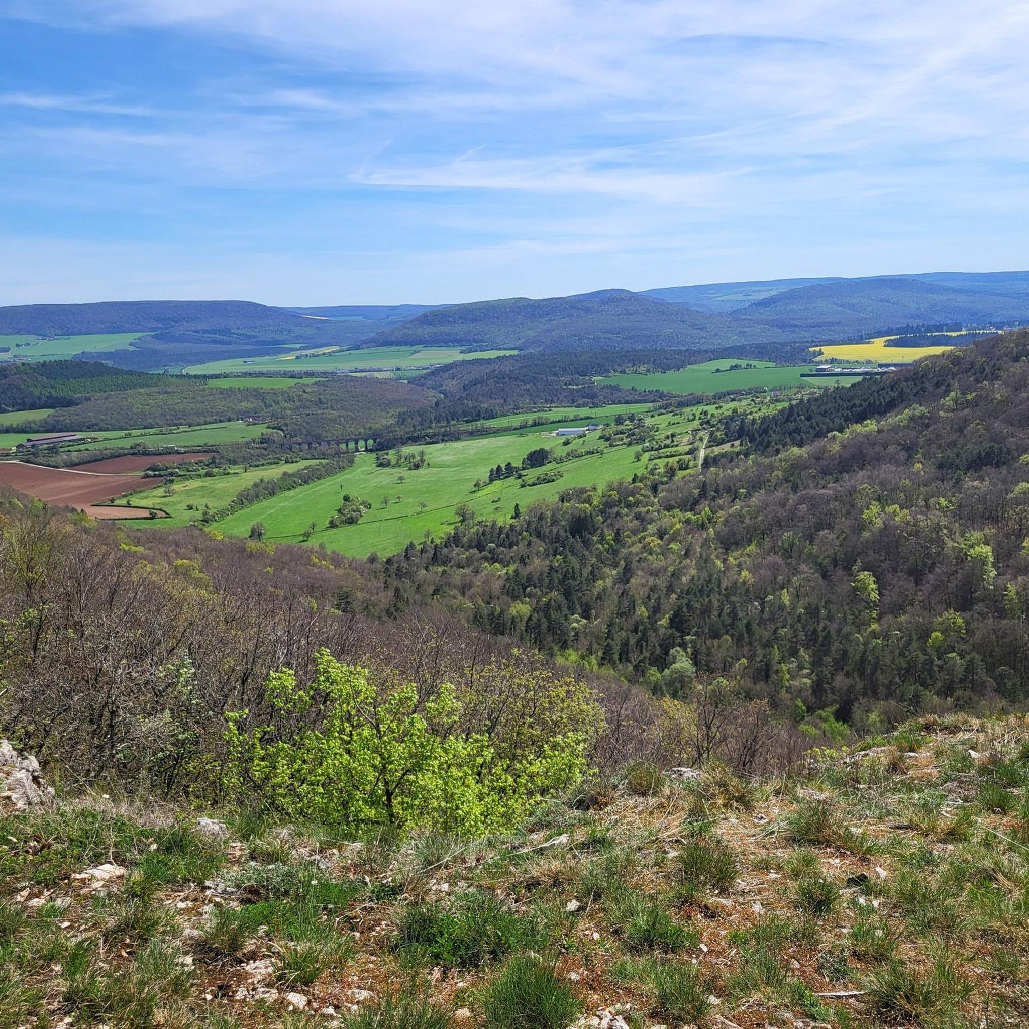
Joggers can enjoy breathtaking scenery, including cliffs and valleys, such as those around the Golotte stream. The Panorama of the Baulme‑la‑Roche Rocks offers magnificent views from cliffs approximately 100 meters high, providing a rewarding sight for those incorporating ascents into their runs. You'll also encounter extensive deciduous forests like Bois du Chêne and Bois de Comboyer.
Are there any historical landmarks or attractions along the running routes?
Absolutely! The region is rich in history. You might pass by the magnificent medieval Château de Châteauneuf, or run through the charming medieval village of Châteauneuf itself, with its washhouses and fountains. Within Vieilmoulin, you can spot a small 19th-century castle, a round dovecote, and a washhouse.
Are there any circular running routes available?
Many of the routes around Vieilmoulin are designed as loops. For instance, the Running loop from Sombernon is a moderate 10.6 km circular path, offering a great way to explore the area without retracing your steps.
What do other runners say about the trails in Vieilmoulin?
The running routes in Vieilmoulin are highly rated by the komoot community, with an average score of 4.2 stars from over 10 reviews. Runners often praise the diverse terrain, the peaceful forest paths, and the well-maintained trails that make for an enjoyable experience.
Are there any challenging routes for experienced runners?
Yes, for those seeking a greater challenge, there are 9 difficult routes available. An example is the Chapelle Saint-Sylvestre loop from Échannay, which is nearly 12 km long and features significant elevation gain, making it a demanding run.
Can I find routes that are suitable for families or those with children?
While specific 'family-friendly' designations aren't always explicit, the easier and moderate routes, particularly those along the Burgundy Canal or around reservoirs like Lac de Panthier, tend to be more suitable for families due to their relatively flatter profiles and scenic surroundings.
What is the best time of year for running in Vieilmoulin?
The diverse landscapes, including extensive deciduous forests, make spring and autumn particularly appealing for running, with pleasant temperatures and beautiful foliage. Summer offers shaded paths in the forests, which are ideal during warmer months. Winter running is also possible, though conditions may vary.
Are there any routes that follow waterways or canals?
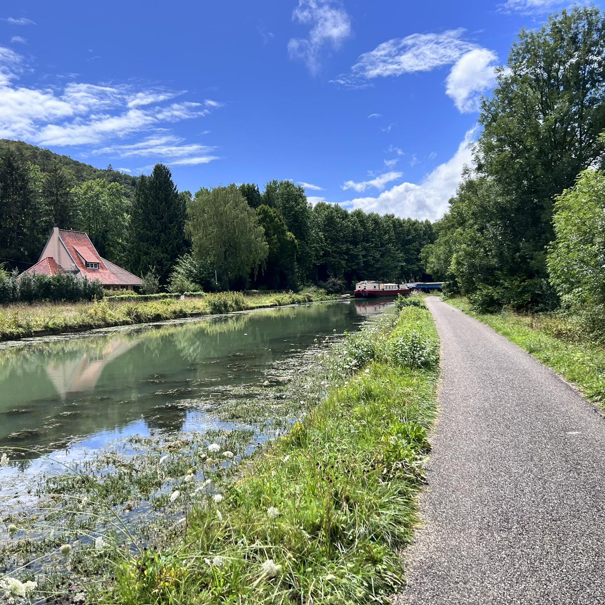
Yes, the Burgundy Canal, with its accompanying Véloroute (cycle route), runs through the Auxois plain near Vieilmoulin. This offers relatively flat, well-maintained paths that are excellent for longer, uninterrupted jogging sessions, allowing runners to enjoy the peaceful waterside scenery.
Most popular routes around Vieilmoulin
Most popular attractions around Vieilmoulin

Get inspired with the komoot mobile app


Explore more
Browse the best Running Trails & Routes in other regions.
