The best running trails around Grosbois-En-Montagne
4.5
(17)
548
runners
52
runs
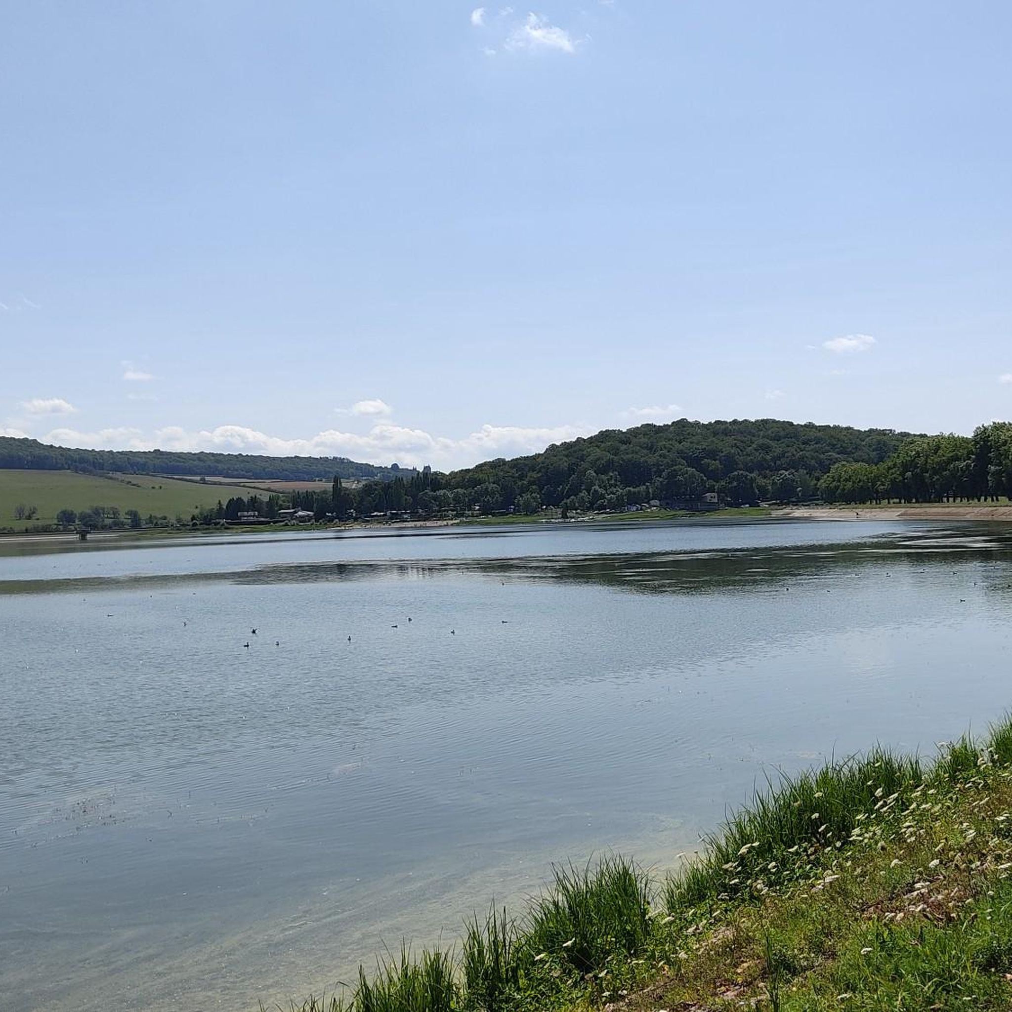
Jogging routes around Grosbois-En-Montagne offer a mix of terrain, often featuring water bodies like reservoirs and historical elements. The region is characterized by rolling landscapes, agricultural areas, and woodlands, providing varied scenery for runners. Elevation changes are generally moderate, making it accessible for different fitness levels.
Best jogging routes around Grosbois-En-Montagne
- The most popular jogging route is Historic dam loop from Grosbois-en-Montagne, a 6.6 miles (10.6 km) trail that takes 1 hour 17 minutes to complete. This moderate route…
Last updated: October 20, 2026
5.0
(2)
45
runners
10.6km
01:17
190m
190m
Moderate run. Good fitness required. Mostly paved surfaces. Suitable for all skill levels.
18
runners
13.7km
01:25
40m
40m
Moderate run. Good fitness required. Mostly paved surfaces. Suitable for all skill levels.

8
runners
8.38km
00:52
40m
40m
Moderate run. Good fitness required. Mostly paved surfaces. Suitable for all skill levels.
5.0
(1)
4
runners
11.5km
01:20
210m
220m
Moderate run. Good fitness required. Mostly paved surfaces. Suitable for all skill levels.
3
runners
13.8km
01:36
350m
350m
Hard run. Very good fitness required. Mostly paved surfaces. Suitable for all skill levels.
Get access to more routes and recommendations from other explorers.
Already have an account?
Our route recommendations are based on thousands of hikes, rides, and runs completed by other people on komoot.
Start today with a free account
Your next adventure awaits.
Tips from the Community

The Canal takes a passage under the town of Pouilly, here you will no longer be able to follow the Canal, an alternative route that is not always easy to find (thanks Komoot).
2
0

A castle here, a palace there... That's why we always like to come here. A short stop by bike is worth it...
1
0

Great cycle path, completely car-free.
1
0

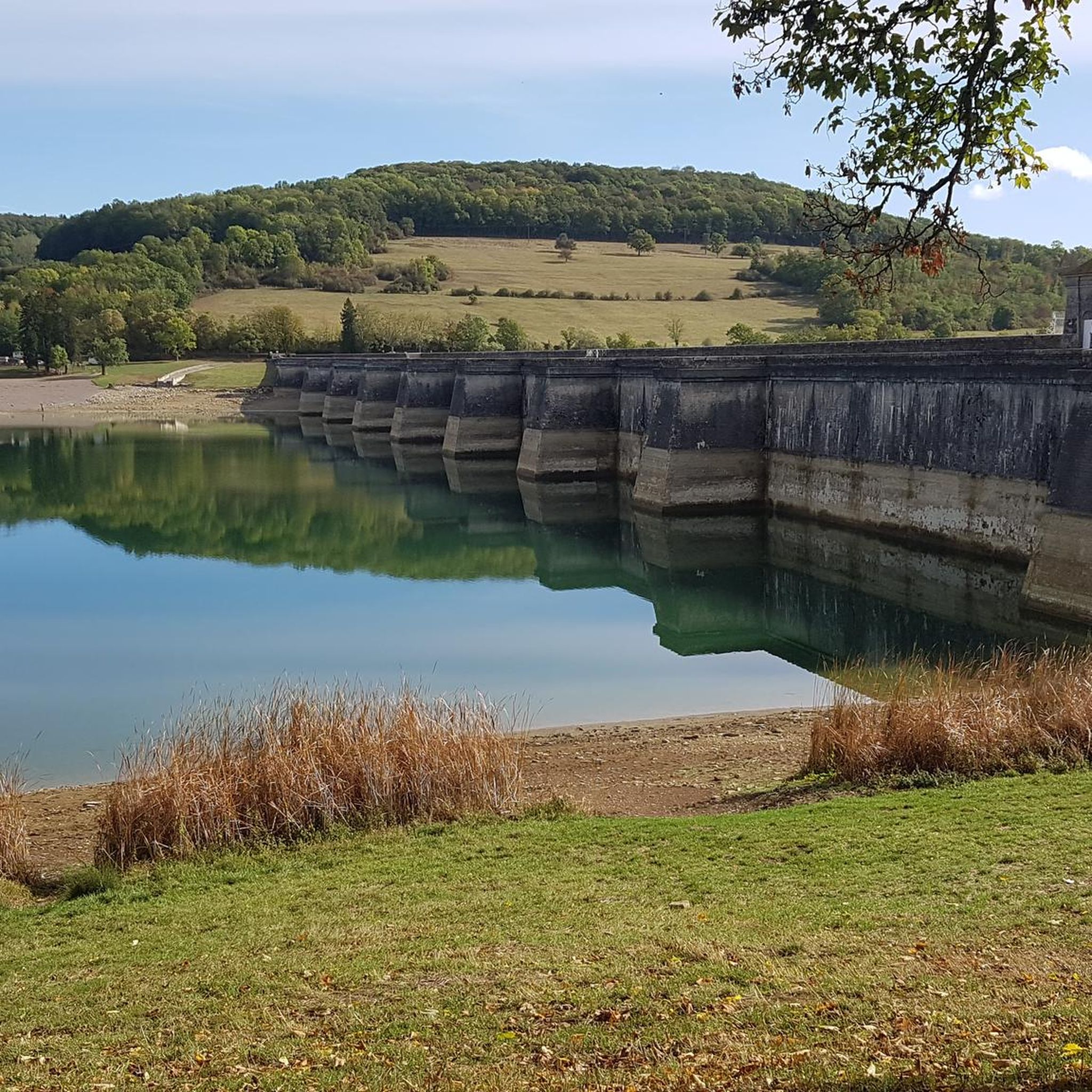
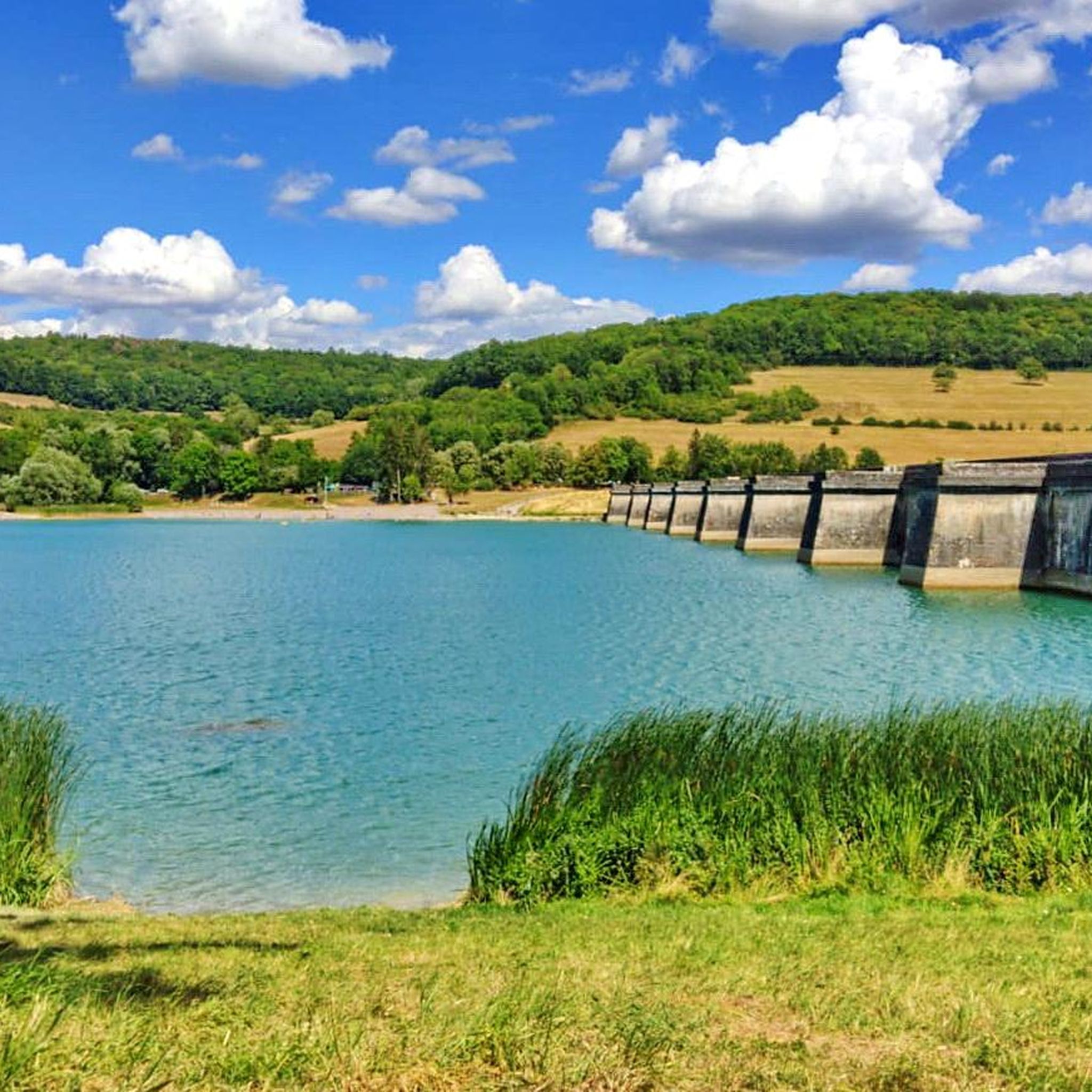
This reservoir supplies the Burgundy Canal. Its construction was completed in 1838. The site is classified in the National Inventory of Natural Heritage as a type 1 natural zone of ecological, fauna and flora interest.
0
0

From cp huttopia (Arnay le Duc) made a bike ride along this canal. Very impressive, no boats seen in the canal. Came across this link. Piece of history. https://www.binnenvaartinbeeld.com/nl/canal_de_bourgogne/tunnel_pouilly-en-auxois
3
0

It is one of the most remarkable fortified castles in the region. Built on a Gallo-Roman site, we can still guess, about fifty meters east of the current castle, the location of the primitive fortification. The castle is now private property and cannot be visited.
3
0

Nice to see in passing. Afterwards, you only see the "entrance mouth" from the cycle path. Apparently cruises are organized there in summer.
3
1

Exceptional tunnel reserved for barges
4
0
Frequently Asked Questions
What kind of terrain can I expect on the running trails around Grosbois-En-Montagne?
The region offers a diverse mix of terrain, including paths around water bodies like reservoirs, through rolling landscapes, agricultural areas, and woodlands. Elevation changes are generally moderate, making it suitable for various fitness levels.
Are there easy running routes available in Grosbois-En-Montagne?
Yes, Grosbois-En-Montagne features several easy running routes. Out of the 42 available tours, 3 are specifically categorized as easy, providing gentle options for beginners or those looking for a relaxed jog.
What are the typical distances for running trails in the Grosbois-En-Montagne area?
Running routes in Grosbois-En-Montagne vary in length. For example, the Panthier Reservoir – Lac de Panthier loop from Commarin is about 5.1 miles (8.2 km), while the Éguilly Castle loop from Pouilly-en-Auxois extends to about 8.5 miles (13.7 km). You'll find options ranging from shorter loops to longer runs.
Are there any challenging running routes for experienced runners?
Yes, for those seeking a more demanding run, there are 6 routes categorized as difficult among the 42 available tours. These routes will likely feature more significant elevation changes or technical sections to test your endurance.
What can I see along the running routes in Grosbois-En-Montagne?
Many routes offer scenic views of reservoirs and pass by historical elements. You might encounter landmarks such as the Château de Châteauneuf or the Éguilly Castle. The region's blend of natural beauty and historical sites provides interesting sights during your run.
Are there any circular running routes in the area?
Yes, many of the running routes around Grosbois-En-Montagne are designed as loops. A popular example is the Historic dam loop from Grosbois-en-Montagne, which circles a historic dam, offering a convenient start and finish point.
What do other runners enjoy most about jogging in Grosbois-En-Montagne?
The running trails in Grosbois-En-Montagne are highly rated by the komoot community, with an average score of 4.3 stars from 9 reviews. Runners often praise the varied scenery, including reservoir paths and gentle rolling terrain, and the mix of historical sites and natural areas.
Can I find running routes that pass by castles or historic sites?
Absolutely. The region is rich in history, and several routes incorporate historical elements. For instance, the Lac de Panthier – Château de Commarin loop from Commarin leads you near the Château de Commarin, and the Éguilly Castle loop from Pouilly-en-Auxois takes you past Éguilly Castle.
How many running routes are available in Grosbois-En-Montagne?
There are 42 running routes documented around Grosbois-En-Montagne on komoot, offering a wide selection for different preferences and fitness levels.
Are there any running routes near water bodies or reservoirs?
Yes, the region is known for its water bodies. The Panthier Reservoir – Lac de Panthier loop from Commarin is a great option, providing scenic views of the Panthier Reservoir and its surrounding natural areas.
What is the best time of year to go running in Grosbois-En-Montagne?
While specific data isn't provided, the region's rolling landscapes and woodlands suggest that spring and autumn would offer pleasant temperatures and beautiful scenery. Summer can also be enjoyable, especially around the reservoirs, though it's always wise to check local weather conditions.
Most popular routes around Grosbois-En-Montagne
Most popular attractions around Grosbois-En-Montagne

Get inspired with the komoot mobile app


Explore more
Browse the best Running Trails & Routes in other regions.
