The best walks and hikes around Martrois
4.4
(107)
660
hikers
32
hikes
Hiking around Martrois offers routes through the Upper Armançon Valley, characterized by rolling countryside, agricultural lands, and bodies of water such as Lake Cercey and the Grosbois Reservoir. The terrain generally features moderate elevation changes, making it accessible for various fitness levels. The region includes a mix of open paths and wooded sections, often passing by historical features like castles and dams.
Best hiking trails around Martrois
- The most popular hiking route is Between Castles and Windmill in the Upper…
Last updated: August 29, 2026
4.2
(13)
36
hikers
11.0km
02:59
160m
160m
Moderate hike. Good fitness required. Easily-accessible paths. Suitable for all skill levels.
4.8
(6)
116
hikers
6.17km
01:35
30m
30m
Easy hike. Great for any fitness level. Easily-accessible paths. Suitable for all skill levels.

Sign up for free
4.0
(1)
21
hikers
9.90km
02:42
150m
150m
Moderate hike. Good fitness required. Easily-accessible paths. Suitable for all skill levels.
4.0
(4)
17
hikers
8.22km
02:16
140m
150m
Moderate hike. Good fitness required. Easily-accessible paths. Suitable for all skill levels.
4.5
(2)
14
hikers
9.89km
02:42
150m
150m
Moderate hike. Good fitness required. Easily-accessible paths. Suitable for all skill levels.
Get access to more routes and recommendations from other explorers.
Sign up for free
Already have an account?
Our route recommendations are based on thousands of hikes, rides, and runs completed by other people on komoot.
Start today with a free account
Your next adventure awaits.
Login or Signup
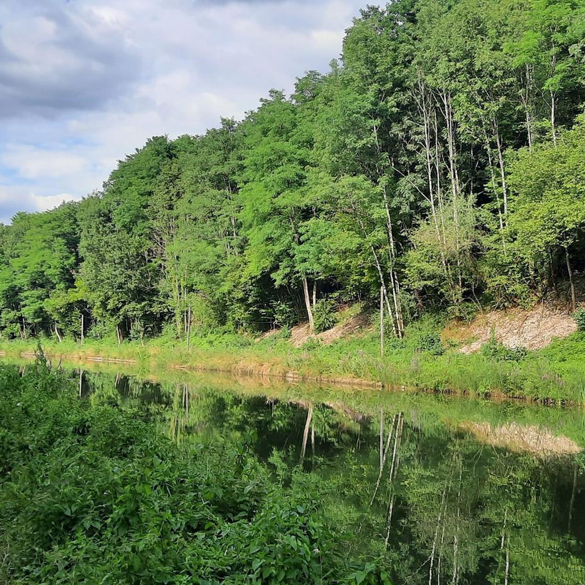

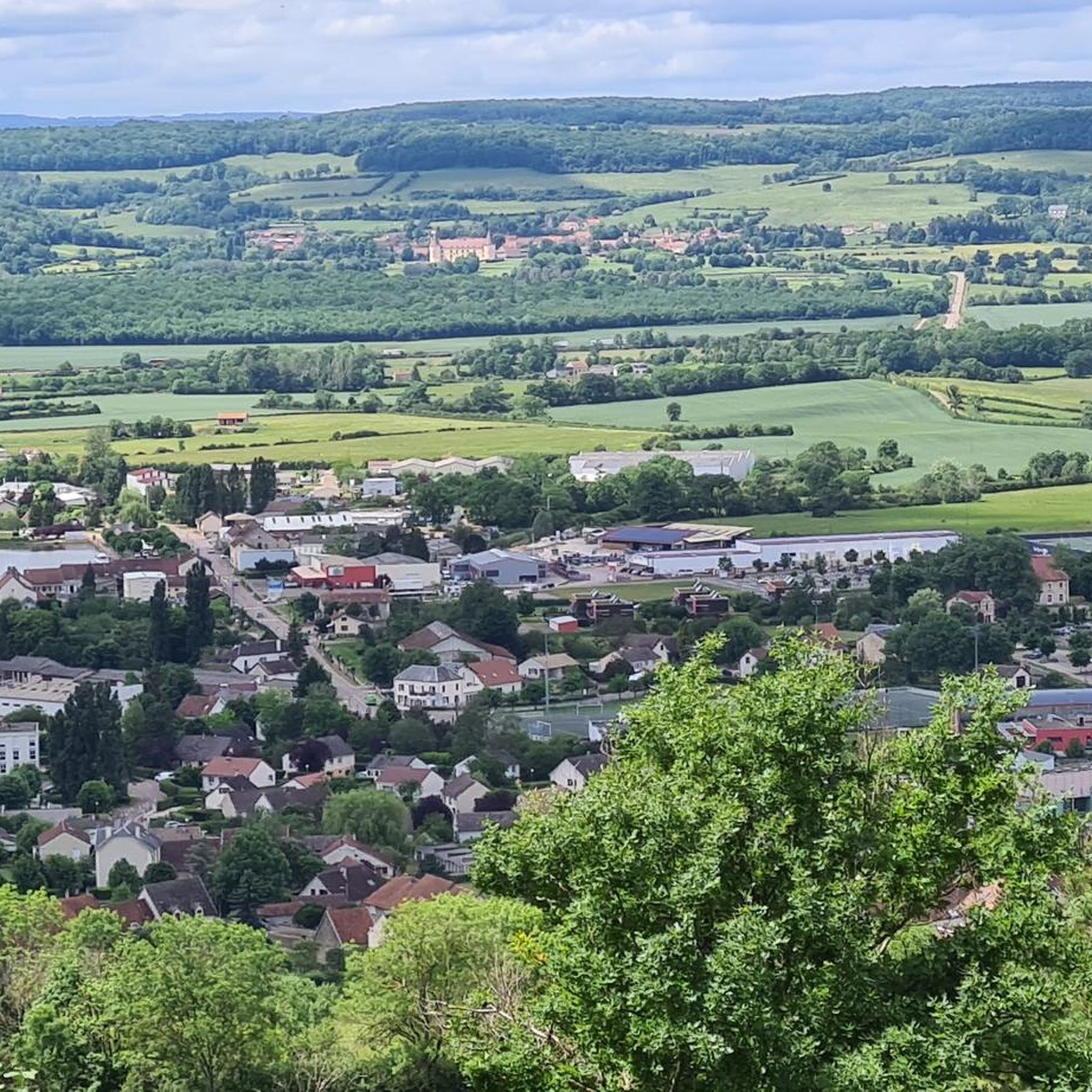
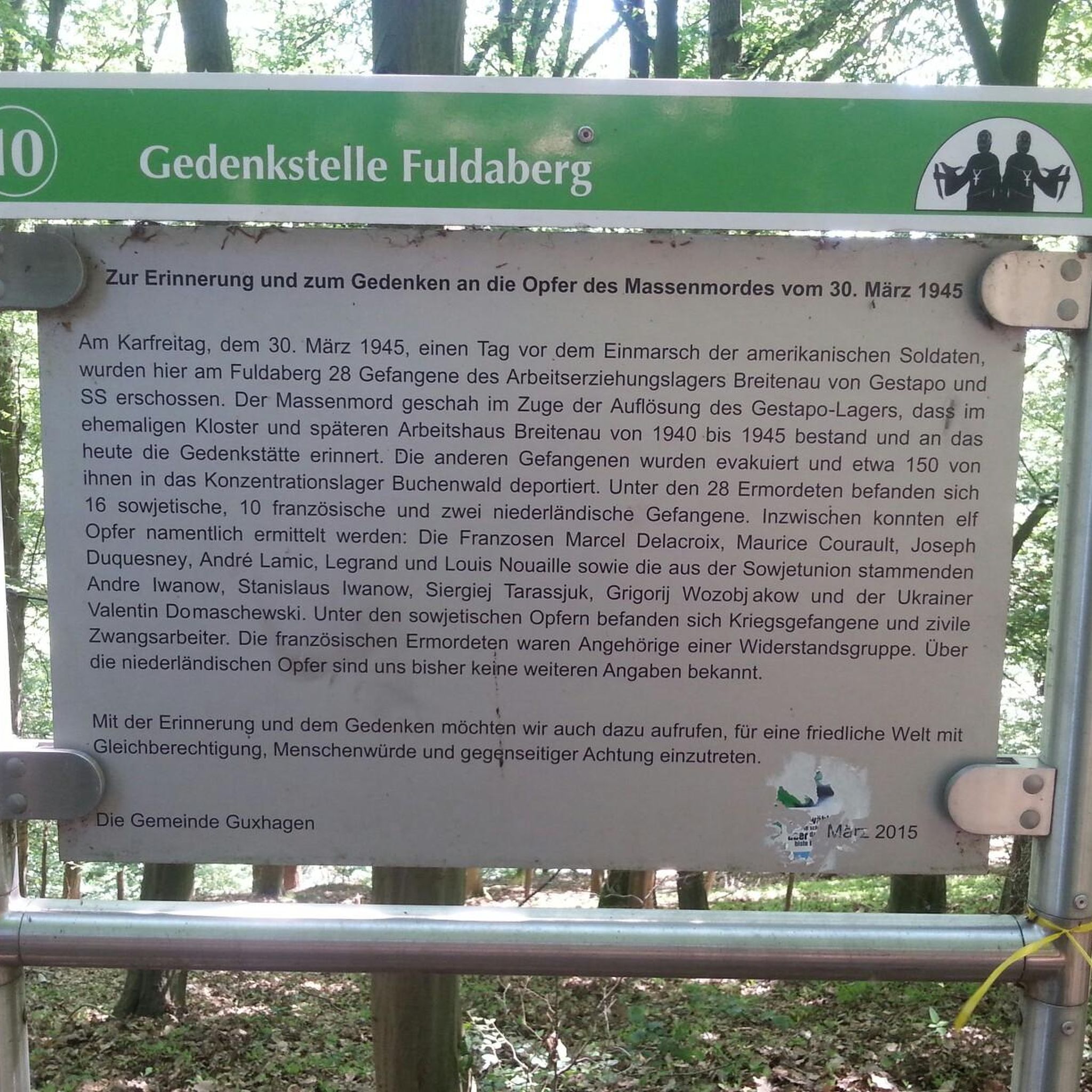
Tips from the Community

Panthier Lake (or Panthier Reservoir) is a 130 ha lake in Côte d'Or (Burgundy, administrative region Bourgogne-Franche-Comté) located in the communes of Vandenesse-en-Auxois, Créancey and Commarin. It is the largest lake in Côte-d'Or and one of the five reservoirs created to supply the Burgundy Canal. It is also a bird sanctuary and is listed in the general inventory of historical heritage.
0
0

This reservoir has a sandy beach on the south side. A sailing school is on site, 2, 3 and 4 seater canoe rental, sailboat rental.
0
0

This tranquil and unassuming lake is actually steeped in history. Alphonse Papin and Didier Rouilly carried out flight tests there on March 31, 1915 of an ancestor of the helicopter, the gyropter.
3
0
Stunning view of the Château de Chailly from this vantage point. Sometimes we are too close to something to appreciate its full beauty.
2
0
A very pleasant lake for walking and a beach for swimming, having lunch or taking a break.
7
0
Frequently Asked Questions
What kind of terrain can I expect on hiking trails around Martrois?
The hiking trails around Martrois traverse the Upper Armançon Valley, featuring rolling countryside, agricultural lands, and bodies of water like Lake Cercey and the Grosbois Reservoir. You'll find a mix of open paths and wooded sections, with generally moderate elevation changes.
Are there easy hiking options suitable for beginners in Martrois?
Yes, Martrois offers a good selection of trails suitable for beginners. Out of 35 available routes, 18 are classified as easy, making them accessible for various fitness levels. These routes often feature gentle inclines and well-maintained paths.
Are there any circular walks available in Martrois?
Martrois is well-known for its circular walks. Many routes are designed as loops, allowing you to start and end at the same point. An example is the Lake Cercey loop from Thoisy-le-Désert, which offers scenic views around the lake.
What are some interesting historical sites or landmarks to see while hiking in Martrois?
The region around Martrois is dotted with historical features. You might encounter castles and dams along your routes. Notable attractions include the Éguilly Castle and the Entrance to the Tunnel of the Burgundy Canal (Pouilly-en-Auxois). The Historic dam loop from Grosbois-en-Montagne specifically highlights the area's dam history.
How long do hiking trails in Martrois typically take to complete?
Hiking durations in Martrois vary depending on the route's length and your pace. For instance, the Between Castles and Windmill in the Upper Armançon Valley trail, which is about 11 km, typically takes around 3 hours. Shorter loops like the View of Château de Chailly – Lake Cercey loop from Thoisy-le-Désert (9.9 km) can be completed in about 2 hours 45 minutes.
Are there any hikes that feature lakes or reservoirs?
Yes, the region is characterized by its bodies of water. Many trails offer views of or loop around Lake Cercey and the Grosbois Reservoir. The Lake Cercey loop from Thoisy-le-Désert is a popular choice for lakeside hiking, and the Grosbois Reservoir – Historic dam loop from Grosbois-en-Montagne explores the larger reservoir area.
What do other hikers say about the trails in Martrois?
The hiking trails in Martrois are highly regarded by the komoot community, holding an average rating of 4.5 stars from over 100 reviews. Hikers often praise the blend of natural and cultural landscapes, the well-maintained paths, and the variety of options for different ability levels.
Are there any family-friendly hiking routes in Martrois?
With 18 easy trails and generally moderate elevation changes, Martrois offers several family-friendly hiking options. These routes are typically shorter and less strenuous, allowing families to enjoy the scenic countryside and historical features together. Look for trails around Lake Cercey for pleasant, accessible walks.
Can I find trails that offer views of castles or other significant structures?
Absolutely. The Martrois region is known for its historical structures. Trails often pass by or offer views of castles, such as the Éguilly Castle. The Between Castles and Windmill in the Upper Armançon Valley route is specifically designed to showcase these historical elements.
What is the overall difficulty level of hiking in Martrois?
The hiking trails in Martrois cater to a range of abilities, with options for both easy and moderate levels. Out of 35 routes, 18 are easy and 17 are moderate, meaning there are no particularly difficult or challenging trails. This makes the area suitable for most hikers, from beginners to those seeking a bit more of a workout.
Are there any long-distance hiking options around Martrois?
While many routes are moderate in length, there are options for longer hikes. For example, the Grosbois Reservoir – Historic dam loop from Grosbois-en-Montagne covers approximately 16.7 km, offering a more extended experience through the landscape and around the reservoir.
Most popular attractions around Martrois

Get inspired with the komoot mobile app


Explore more
Browse the best Hikes in other regions.
