The best road cycling routes around Durnes
4.5
(135)
2,285
riders
172
rides
Road cycling routes around Durnes traverse a landscape characterized by a rugged coastline, dramatic cliffs, and expansive moorland. The region features pristine beaches with white sands and clear waters, alongside vast open spaces that contribute to a sense of remoteness. Geologically, Durnes is part of the North West Highlands Geopark, showcasing ancient rocks and karst topography. Cycling here involves navigating diverse terrain, from coastal roads to inland paths.
Best road cycling routes around Durnes
- The most popular road cycling route…
Last updated: October 13, 2026
4.6
(5)
70
riders
86.2km
04:36
1,670m
1,670m
Hard road ride. Very good fitness required. Mostly well-paved surfaces and easy to ride.
5.0
(2)
49
riders
41.0km
02:08
740m
740m
Moderate road ride. Good fitness required. Mostly well-paved surfaces and easy to ride.

4.0
(2)
33
riders
47.5km
02:28
840m
840m
Moderate road ride. Good fitness required. Mostly well-paved surfaces and easy to ride.
4.5
(2)
25
riders
62.5km
03:26
1,310m
1,310m
Hard road ride. Very good fitness required. Mostly well-paved surfaces and easy to ride.
28
riders
61.2km
03:16
970m
970m
Hard road ride. Very good fitness required. Mostly well-paved surfaces and easy to ride.
Get access to more routes and recommendations from other explorers.
Already have an account?
Our route recommendations are based on thousands of hikes, rides, and runs completed by other people on komoot.
Start today with a free account
Your next adventure awaits.

Tips from the Community

Cascade also affected by drought, to admire it best, favor the periods April-May and October-November.
0
0

Not suitable for children. Very dangerous, but beautiful. Recommended for adults who are not afraid of heights.
0
0
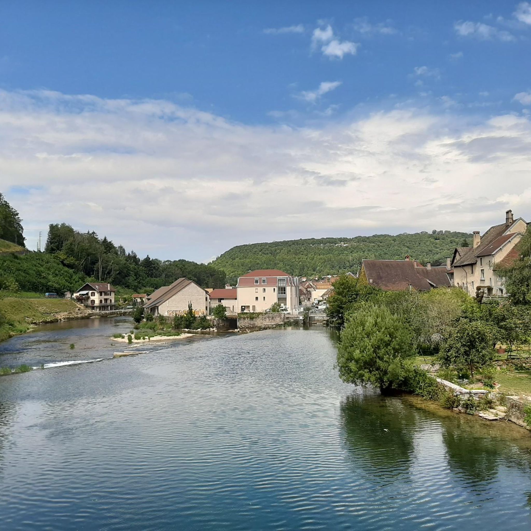
Shaded in summer, not much traffic and quite regular
0
0

The source of the Loue River is announced by the rushing water even before you see it. It's impressive and magical to stand beneath the 150-meter-high cliffs and watch the river rush out of its cave.
5
1

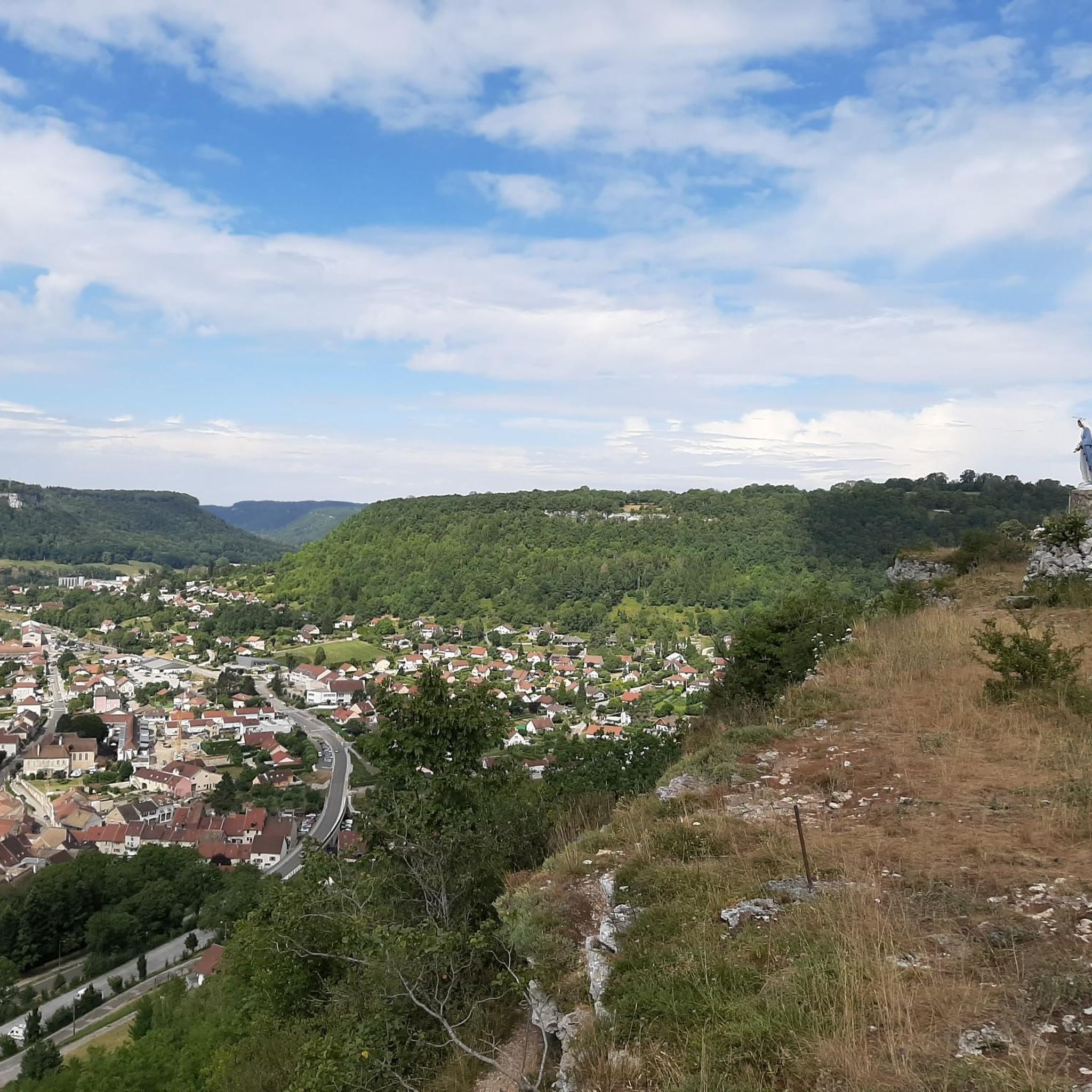
This chapel was built in 1863, following an apparition of the Virgin Mary on April 3, 1803. According to legend, a young girl found an old statue from the time of Louis 14 in the tree in front of which Mary appeared to her. This "holy oak" was felled a few decades after the apparition, and the statue now stands in the church. Below the chapel on the street, a bronze statue commemorates the place where the oak was and where the apparition is said to have taken place. Next to the chapel there is now a pilgrims' hostel that tells the story of the network of the Via Franzigena.
1
0

The Cascade de Syratu is an impressive waterfall that cascades over the rocky cliffs of the Baume above Mouthier-Haute-Pierre in the Doubs department. With a total height difference of 230 metres, it is the largest waterfall in the department. The waterfall consists of several levels: The upper part begins with an almost vertical drop of 50 metres from the edge of the plateau at a height of 600 metres. This is followed by a second vertical drop of 32 metres, which brings the water to the level of the road. The lower part of the waterfall extends over a wooded slope and ends at the Loue river, where there are several waterfalls covered with tufa. To get a general view of the waterfall, you should climb up the left bank after crossing the old bridge over the Loue. The middle part of the waterfall is visible from the road that goes up to the gorges. The lower part, with its wild tuff massifs, can be reached on foot via paths that start on either side of the small bridge over the Syratu stream.
8
0

view of the castle
0
0

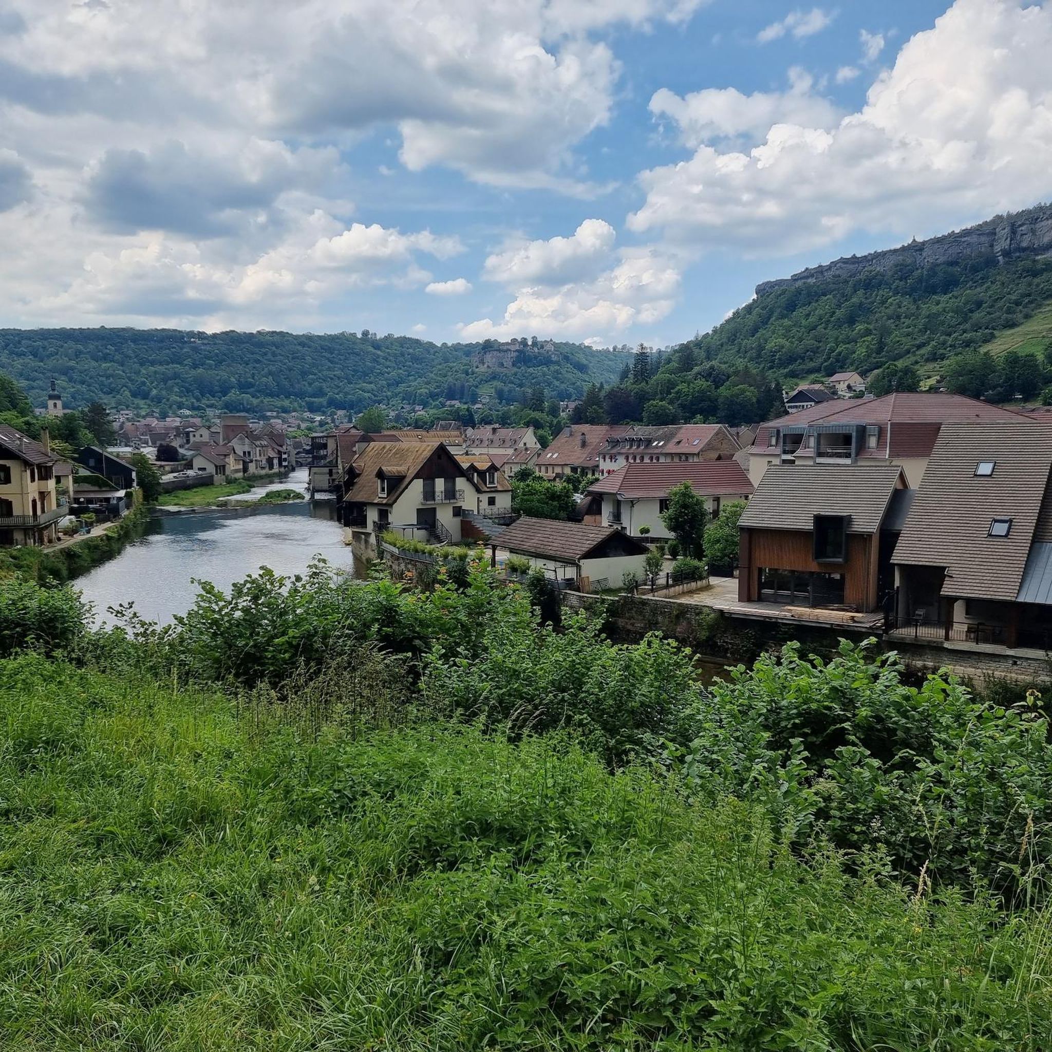
Failing to visit, since it is private, the Château de Cléron can be admired from the heights of Cléron, but also from its gardens. This medieval castle has been restored and offers observers a keep, machicolations, loopholes and stunners in excellent condition.
2
0
Frequently Asked Questions
How many road cycling routes are available around Durness?
There are over 160 road cycling routes around Durness, catering to various fitness levels. These routes are highly rated by the komoot community, with an average score of 4.6 stars.
What kind of terrain can I expect on road cycling routes in Durness?
Road cycling in Durness offers a diverse landscape, from rugged coastlines with dramatic cliffs to expansive moorland and pristine beaches with white sands. The region is part of the North West Highlands Geopark, so you'll encounter unique geological features and varied terrain, including some singletrack roads.
Are there routes suitable for beginners or those looking for an easy ride?
Yes, Durness offers several easy road cycling routes. For example, the Cléron Castle – Cycling bridge over the Loue loop from Montgesoye is an easy 18.0-mile path featuring scenic views along the Loue River. Another option is the Roadbike loop from Voires, a 17.4-mile trail through varied landscapes.
What are some challenging road cycling routes for experienced riders?
For experienced cyclists, routes like the Ornans – Cléron loop from Saules offer a moderate challenge, covering 26.6 miles with significant elevation gain. Another demanding option is the Ornans – Old railway bridge loop from Montgesoye, which spans over 40 miles with substantial climbs.
What natural features or landmarks can I see along the cycling routes?
Durness is rich in natural beauty and unique landmarks. You can explore the Source du Pontet, a fascinating cave, or marvel at the dramatic Gorges de Noailles. Cyclists can also enjoy stunning vistas from viewpoints like Renédale Viewpoint and View of Roche Bottine, offering glimpses of the region's geological wonders, including white limestone cliffs.
Are there any circular road cycling routes in Durness?
Yes, many of the road cycling routes around Durness are designed as loops, allowing you to start and finish in the same location. Examples include the Ornans – Cléron loop from Saules and the Village of Lods – Loue River loop from Saules, providing convenient options for exploring the area.
What is the best time of year for road cycling in Durness?
The best time for road cycling in Durness is typically during the warmer, drier months, from late spring to early autumn. This period offers more favorable weather conditions, though the Scottish weather can be unpredictable. Summer provides longer daylight hours, perfect for extended rides along the coast and through the moorland.
Are there any places to stop for refreshments or accommodation along the routes?
While specific cafes and pubs vary by route, Durness and its surrounding villages offer options for cyclists. Balnakeil Craft Village, west of Durness, has cafes and artist studios. Sango Sands Campsite also provides amenities including a bar/restaurant. It's advisable to check opening times, especially in off-peak seasons.
Can I combine road cycling with other activities in Durness?
Absolutely! Durness is an outdoor enthusiast's paradise. You can visit the unique Smoo Cave, explore the remote Cape Wrath (requiring a ferry and bus), or even try the Golden Eagle Zipline. The area is also excellent for wildlife watching, with opportunities to spot seals, otters, whales, and dolphins.
What makes Durness a unique road cycling destination?
Durness stands out for its dramatic and untamed natural beauty. Cyclists are treated to breathtaking views of rugged coastlines, pristine white-sand beaches, and vast, tranquil moorland. Its location on the North Coast 500 (NC500) route and its significant geological features as part of the North West Highlands Geopark make it a truly exceptional and memorable place to ride.
What do other road cyclists enjoy most about road cycling in Durness?
The area is highly rated by the komoot community, with an average score of 4.6 stars from over 90 reviews. Reviewers often praise the stunning, ever-changing scenery, the sense of remoteness, and the variety of terrain that makes each ride an adventure. The dramatic coastal views and the tranquility of the moorland are frequently highlighted.
Most popular attractions around Durnes

Get inspired with the komoot mobile app


Explore more
Browse the best Road cycling routes in other regions.
