The best walks and hikes around Martigné-Ferchaud
4.2
(107)
603
hikers
38
hikes
Hiking around Martigné-Ferchaud offers diverse natural landscapes, including expansive ponds, dense forests, and picturesque valleys. The region is characterized by well-maintained trails that traverse varied terrain, from shaded paths around water bodies to woodland routes. The Étang de la Forge, an 80-hectare pond, and the 1025-hectare Forêt d'Araize are central features, providing distinct environments for exploration. Several valleys, such as the Vallée de la Noë-Jollys and Vallée du Semnon, further enrich the hiking experience.
Best hiking trails around Martigné-Ferchaud
- The…
Last updated: August 18, 2026
4.5
(11)
113
hikers
11.1km
02:54
80m
80m
Moderate hike. Good fitness required. Easily-accessible paths. Suitable for all skill levels.
3.0
(2)
21
hikers
11.6km
03:03
100m
100m
Moderate hike. Good fitness required. Easily-accessible paths. Suitable for all skill levels.

Sign up for free
3.0
(1)
17
hikers
2.70km
00:42
10m
10m
Easy hike. Great for any fitness level. Easily-accessible paths. Suitable for all skill levels.
5.0
(3)
9
hikers
14.7km
03:49
100m
100m
Moderate hike. Good fitness required. Easily-accessible paths. Suitable for all skill levels.
9
hikers
11.5km
03:02
110m
110m
Moderate hike. Good fitness required. Easily-accessible paths. Suitable for all skill levels.
Get access to more routes and recommendations from other explorers.
Sign up for free
Already have an account?
Our route recommendations are based on thousands of hikes, rides, and runs completed by other people on komoot.
Start today with a free account
Your next adventure awaits.
Login or Signup


Tips from the Community

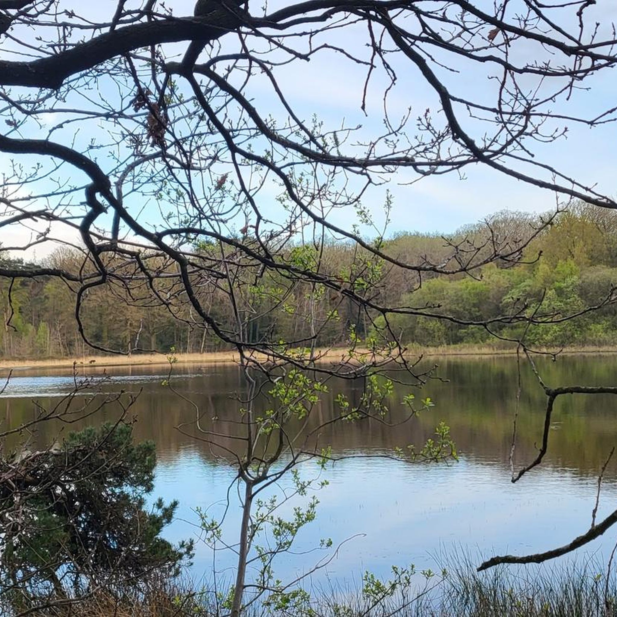
A much larger photo gallery with further images of this beautifully situated pond has been uploaded by various hikers at the highlight (corresponding to this sport). Their photos of the "Etang de St. Aubin" can be found via the following link =>> https://www.komoot.com/de-de/highlight/6116353/gallery
0
0


The Saint-Aubin pond offers a peaceful and natural landscape. This body of water, surrounded by lush greenery, is a haven for local species and migratory birds. Ideal for a stopover!
0
0

The Saint-Aubin pond is located within the grounds of a magnificent 19th century hunting lodge. It is surrounded by green nature which will only enhance your run.
2
0
The Saint-Aubin pond is located in a magnificent 19th century hunting lodge, surrounded by green nature.
2
0

The old parish church of Martigné ended with a straight apse with a large mullioned pointed arch window. An altarpiece placed in the 17th century had blinded this bay. The current church was built in 1867 on plans by Jacques Mellet
0
0
Frequently Asked Questions
How many hiking trails are available around Martigné-Ferchaud?
There are over 30 hiking routes around Martigné-Ferchaud, catering to various preferences and difficulty levels. You'll find a good mix of easy strolls and more challenging moderate paths.
Are there any easy hiking trails suitable for beginners or families?
Yes, Martigné-Ferchaud offers several easy trails. For instance, the Étang de Saint-Aubin – Etang de St Aubin loop from Pouancé is an easy 2.7 km path that takes about 40 minutes to complete, perfect for a relaxed outing.
What kind of terrain can I expect on the hiking trails?
The terrain around Martigné-Ferchaud is quite varied. You'll encounter wide, shaded stone paths around ponds, dense forest trails through the Forêt d'Araize, and routes that traverse picturesque valleys and traditional bocage landscapes. The region offers a blend of flat sections and gentle ascents.
Are there any circular hiking routes in the area?
Many of the trails in Martigné-Ferchaud are circular, allowing you to start and end at the same point. A popular option is the Étang de la Forge – L'étang de la Forge loop from Martigné-Ferchaud, which offers beautiful views around the pond.
What natural features or landmarks can I see while hiking?
The region is rich in natural beauty and historical sites. You can explore the tranquil Étang de la Forge, the dense Forêt d'Araize, and scenic valleys. For historical interest, consider visiting the impressive La Roche-aux-Fées Dolmen, a significant Neolithic monument, or the nearby Châteaubriant Castle.
Are the hiking trails in Martigné-Ferchaud dog-friendly?
Generally, many trails in Martigné-Ferchaud are suitable for dogs, especially those through forests and around ponds. However, it's always recommended to keep dogs on a leash, particularly in sensitive natural areas like the Étang de la Forge, which is a bird sanctuary. Always check local signage for specific restrictions.
What is the best time of year to go hiking in Martigné-Ferchaud?
Martigné-Ferchaud offers pleasant hiking experiences throughout the year. Spring brings lush greenery and blooming wildflowers, while autumn showcases vibrant fall foliage in the forests. Summer provides shaded paths, and even winter can be enjoyable for crisp, quiet walks, especially around the ponds and through the woods.
Are there any hikes that feature water bodies or waterfalls?
The Étang de la Forge is a central feature, offering beautiful trails around its perimeter. Historically, this pond's waterfalls powered the town's forges, and while large waterfalls aren't a primary feature, the presence of the pond and its feeding rivers like the Semnon provide scenic water-based views and tranquil environments.
What do other hikers say about the trails in Martigné-Ferchaud?
The hiking routes in Martigné-Ferchaud are highly regarded by the komoot community, with an average rating of 4.3 stars from over 80 reviews. Hikers often praise the well-maintained paths, the diverse landscapes ranging from serene ponds to dense forests, and the peaceful atmosphere of the region.
Is there parking available near the trailheads?
Yes, parking is generally available near popular trailheads, especially around key attractions like the Étang de la Forge and access points to the Forêt d'Araize. Specific parking information can often be found on local tourism websites or detailed route descriptions.
Can I reach hiking areas using public transport?
While Martigné-Ferchaud is primarily accessed by car, some local bus services might connect to nearby towns. For detailed public transport options to specific trailheads, it's best to consult local transport authorities or the regional tourism office. For more information on the region, you can visit Ille-et-Vilaine Tourism.
Are there any longer, more challenging hikes for experienced hikers?
While most trails are easy to moderate, there are options for longer distances. For example, the Etang de St Aubin – Étang de Saint-Aubin loop from Pouancé is a moderate 13.5 km route. The region offers 2 routes classified as difficult, providing more extensive exploration opportunities for those seeking a greater challenge.
Most popular attractions around Martigné-Ferchaud

Get inspired with the komoot mobile app


Explore more
Browse the best Hikes in other regions.
