The best running trails around Pougny
4.5
(85)
4,481
runners
264
runs
Jogging routes around Pougny, France, offer diverse natural landscapes in the Ain department. The region is characterized by the serene Rhône River and the tranquil Etournel Marshes nature reserve, providing peaceful riverside paths. Further inland, the terrain features forests and hilly areas, including the dramatic gorges of the Pertes de la Valserine, carved into limestone rock. This varied topography provides a range of running experiences.
Best jogging routes around Pougny
- The most popular jogging route is Bois de Chancy to…
Last updated: June 28, 2026
1
runners
6.73km
00:50
170m
170m
Moderate run. Good fitness required. Mostly accessible paths. Some sure footedness required.
29
runners
8.88km
01:06
190m
190m
Moderate run. Good fitness required. Mostly paved surfaces. Suitable for all skill levels.

Sign up for free
27
runners
9.37km
01:07
160m
160m
Moderate run. Good fitness required. Mostly paved surfaces. Suitable for all skill levels.
18
runners
12.1km
01:16
90m
90m
Moderate run. Good fitness required. Mostly paved surfaces. Suitable for all skill levels.
15
runners
9.79km
01:03
80m
80m
Moderate run. Good fitness required. Mostly paved surfaces. Suitable for all skill levels.
Get access to more routes and recommendations from other explorers.
Sign up for free
Already have an account?
Our route recommendations are based on thousands of hikes, rides, and runs completed by other people on komoot.
Start today with a free account
Your next adventure awaits.
Login or Signup
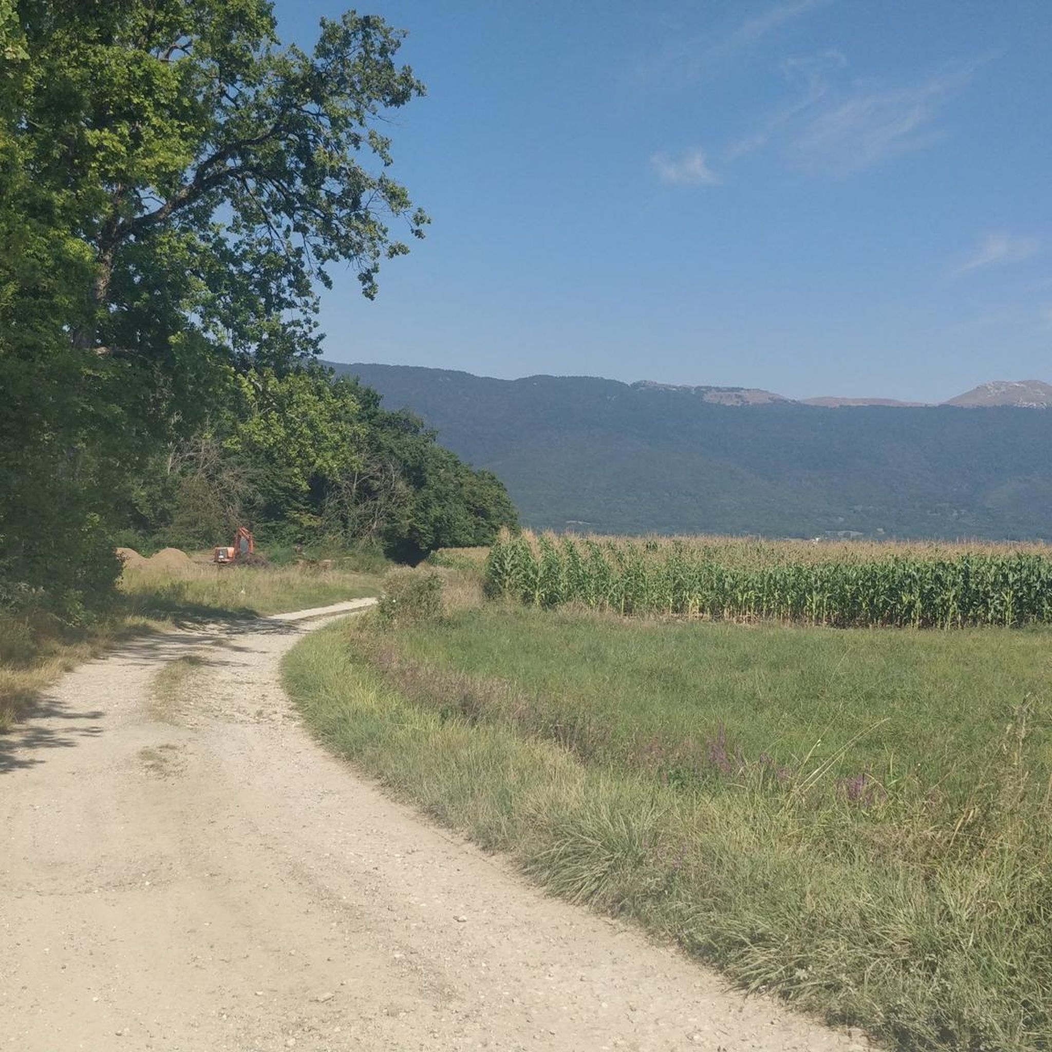
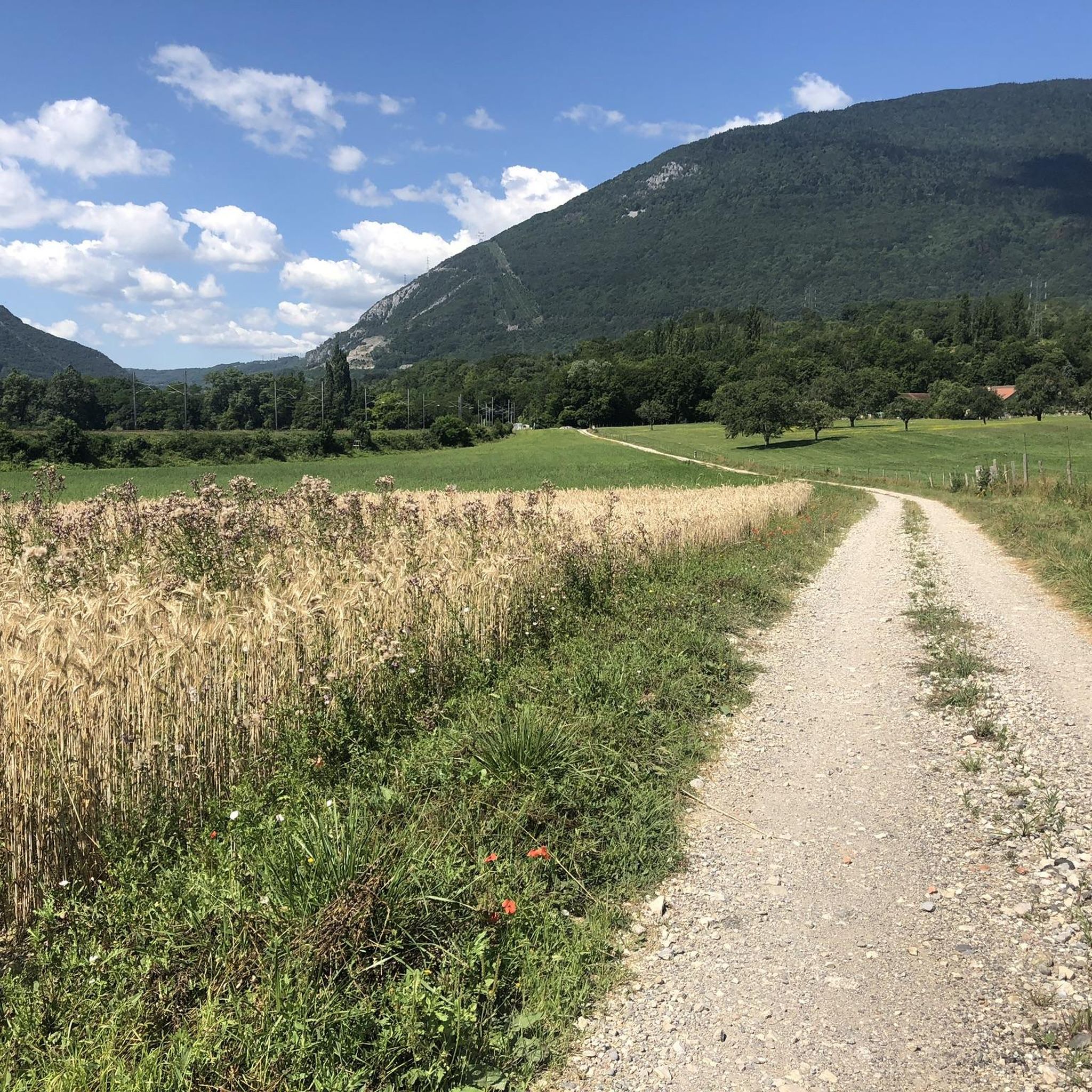
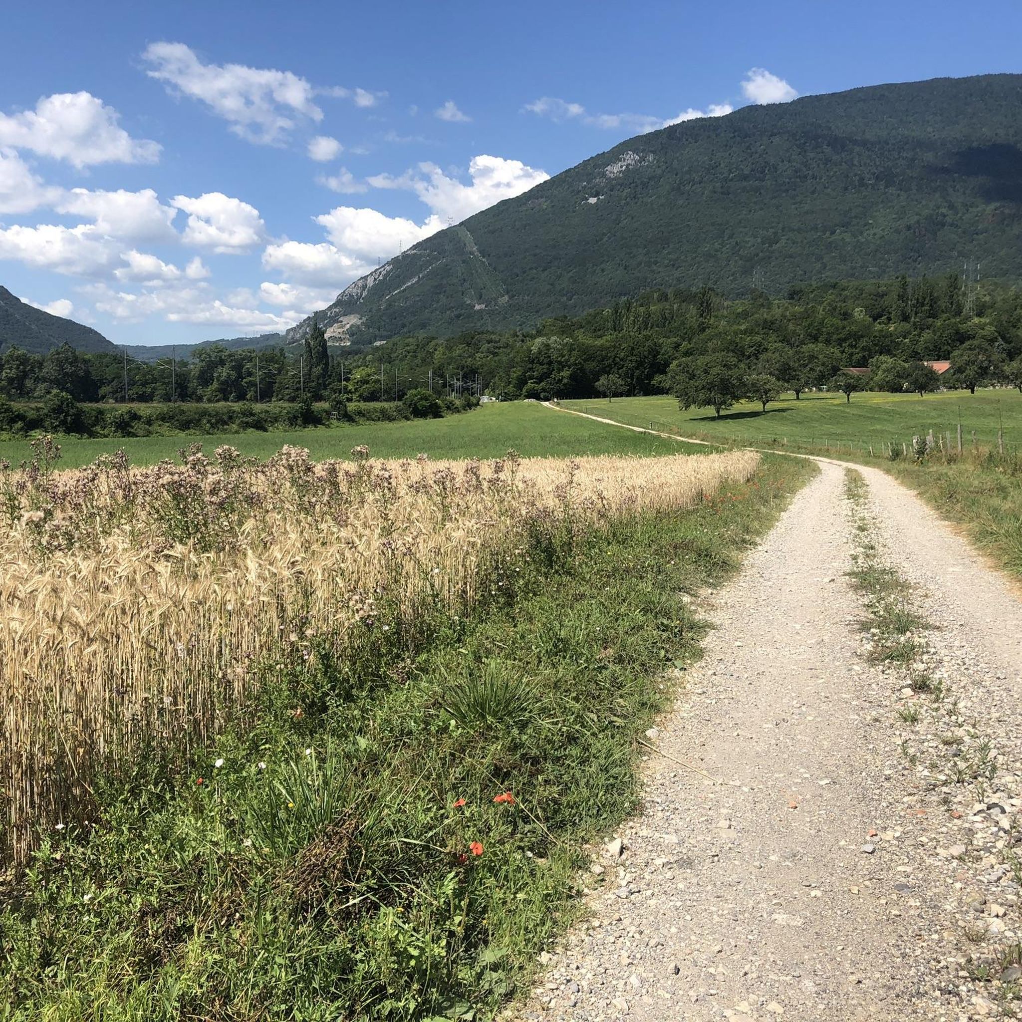
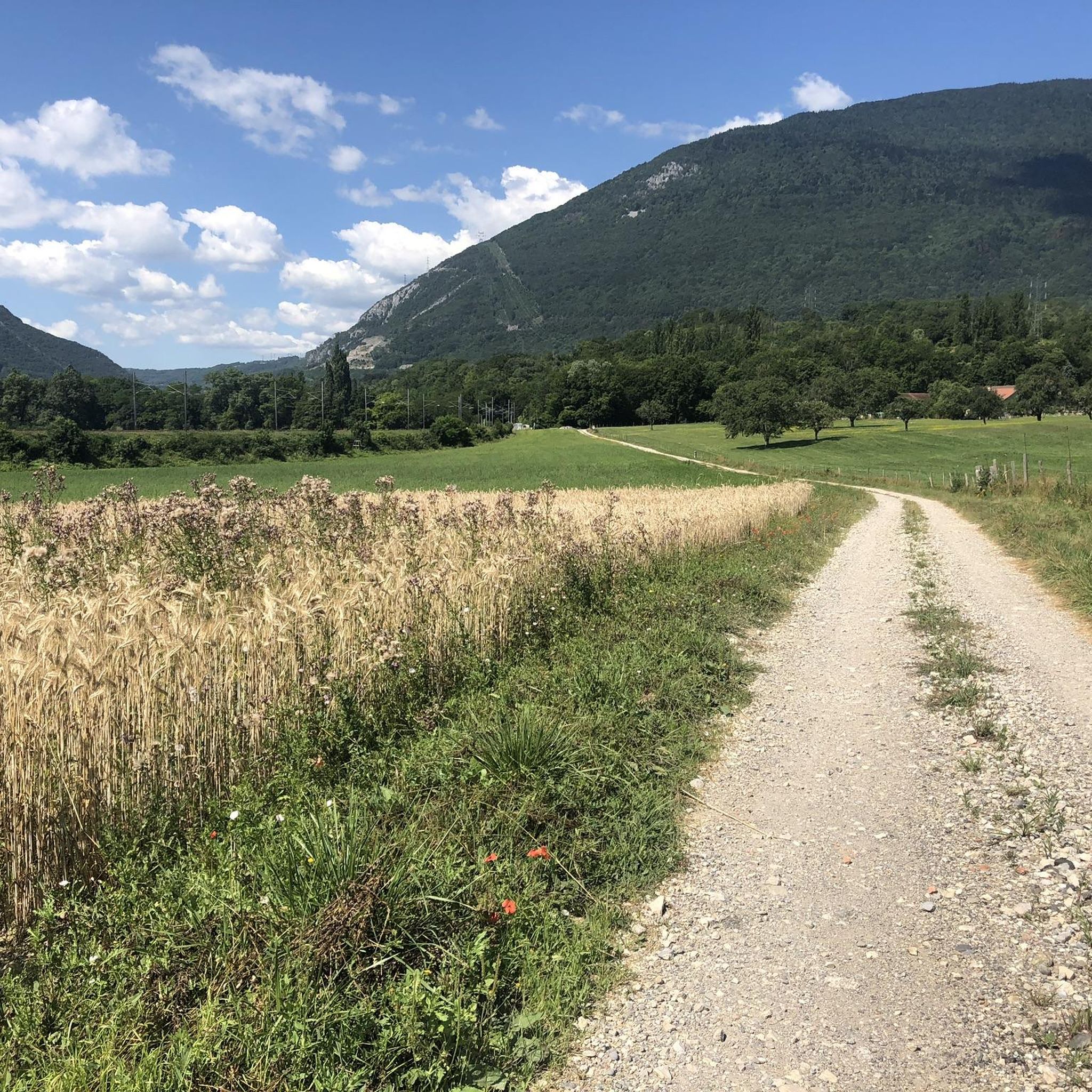

Tips from the Community

Beautiful walk with multiple trails in the woods
0
0

The road runs along the vineyards towards the forest with small waterfalls. There is also an information board on the side. He will give you all the information on the Longet Valley and the possible trails.
0
0
It is a bridge over the Rhône for vehicles and pedestrians. This bridge connects Switzerland and France. There is a station measuring river water quality at the base of the bridge.
0
0
The footbridge offers an ideal view of the Longet river.
0
0

Bridge marking the border between Switzerland and France. It is the last brigde on the river Rhône in Switzerland
2
0

Chancy is the westernmost municipality of Switzerland! It is a very nice place, where there are several cafes and shops.
0
0
Frequently Asked Questions
How many running routes are available around Pougny?
Pougny offers a wide selection of running routes, with over 240 trails to explore. These include 27 easy routes, 167 moderate options, and 49 more challenging paths, ensuring there's something for every runner.
What kind of terrain can I expect on jogging trails near Pougny?
The region around Pougny boasts diverse terrain. You can enjoy serene paths along the Rhône River and through the tranquil Etournel Marshes nature reserve. Further inland, routes traverse forests and hilly areas, including dramatic gorges like the Pertes de la Valserine, offering a mix of riverside, wooded, and undulating landscapes.
Are there any easy jogging routes suitable for beginners in Pougny?
Yes, Pougny has 27 easy running routes perfect for beginners or those looking for a relaxed run. These trails typically feature gentler slopes and less challenging surfaces, allowing you to enjoy the scenery at a comfortable pace.
Can I find circular running routes in Pougny?
Absolutely. Many of the running routes around Pougny are circular, allowing you to start and finish at the same point. For example, the Longet Gorge Suspension Bridge – Swiss/French border loop from Pougny is a popular moderate 5.5-mile (8.9 km) option, and the Pougny–Chancy Bridge – Longet Gorge Suspension Bridge loop from Pougny-Chancy is a 4.2-mile (6.7 km) loop through the Longet Gorge.
What do other runners enjoy most about jogging in Pougny?
The running routes in Pougny are highly rated by the komoot community, with an average score of 4.3 stars from over 70 reviews. Runners often praise the varied terrain, from peaceful riverside paths to scenic forest trails, and the opportunity to explore the natural beauty of the Ain department.
Are there any notable landmarks or attractions along the running routes?
Yes, several routes offer views of interesting natural features. You might encounter the dramatic Valserine Gorges, known for its limestone formations, or cross the impressive Longet Gorge Suspension Bridge. Other natural highlights in the broader area include the Étang du Bois des Mouilles and the Teppes de Verbois Nature Reserve.
Are there any longer distance running trails for advanced runners?
While many routes are moderate, the region's diverse topography allows for longer runs by combining trails or exploring the more challenging sections. For example, the Chancy – Avully Village loop from Chancy offers a moderate 7.5-mile (12.1 km) run, providing a good option for those looking to extend their distance.
Are there running routes that offer scenic views?
Many routes in Pougny provide beautiful scenic views. Trails along the Rhône River offer expansive vistas, and the hilly sections often present panoramic outlooks over the surrounding natural landscapes. The narrow gorge below the viewpoint near the Rhône can make the river resemble a small reservoir, adding to the scenic appeal.
Are there any specific routes that go through forested areas?
Yes, many running paths in Pougny lead through lush forested areas. The Bois de Chancy to the Rhône Banks Trail is a prime example, following the Rhône banks through wooded sections, offering a refreshing and shaded running experience.
What is the best time of year for jogging in Pougny?
Pougny's diverse natural landscapes make it suitable for jogging across multiple seasons. Spring and autumn generally offer pleasant temperatures and vibrant scenery, while summer provides longer daylight hours. The varied terrain, from riverside paths to forests, means you can find comfortable routes even during different weather conditions.
Are there running routes near Pougny that are less crowded?
Given the large number of routes (over 240), it's possible to find less crowded trails, especially outside of peak times or by exploring some of the lesser-known paths. The extensive network allows for a sense of solitude amidst nature, particularly in the more remote forest or marsh areas.
Most popular attractions around Pougny

Get inspired with the komoot mobile app


Explore more
Browse the best Running Trails & Routes in other regions.
