Attractions and Places To See around Grand'Combe-Châteleu - Top 20
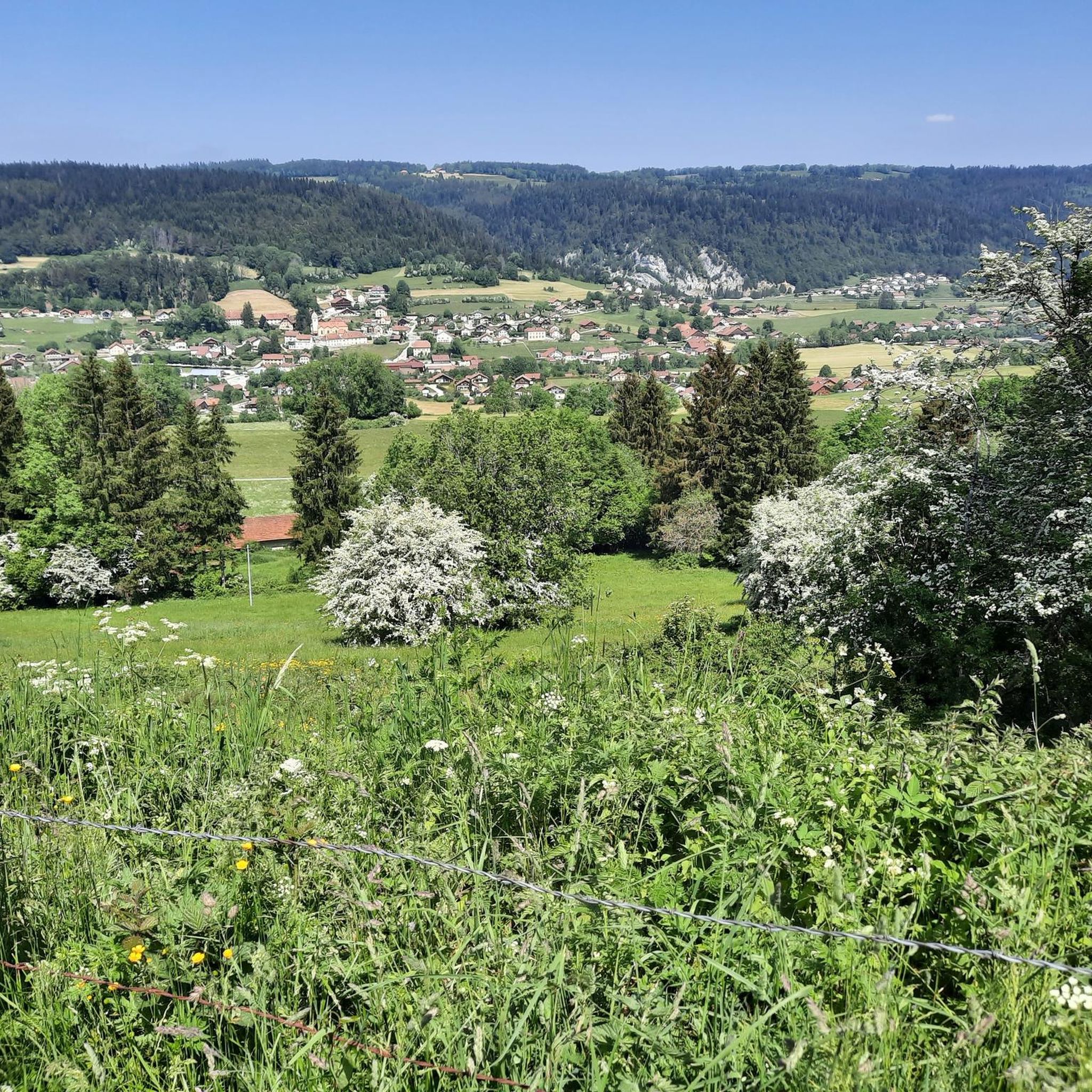
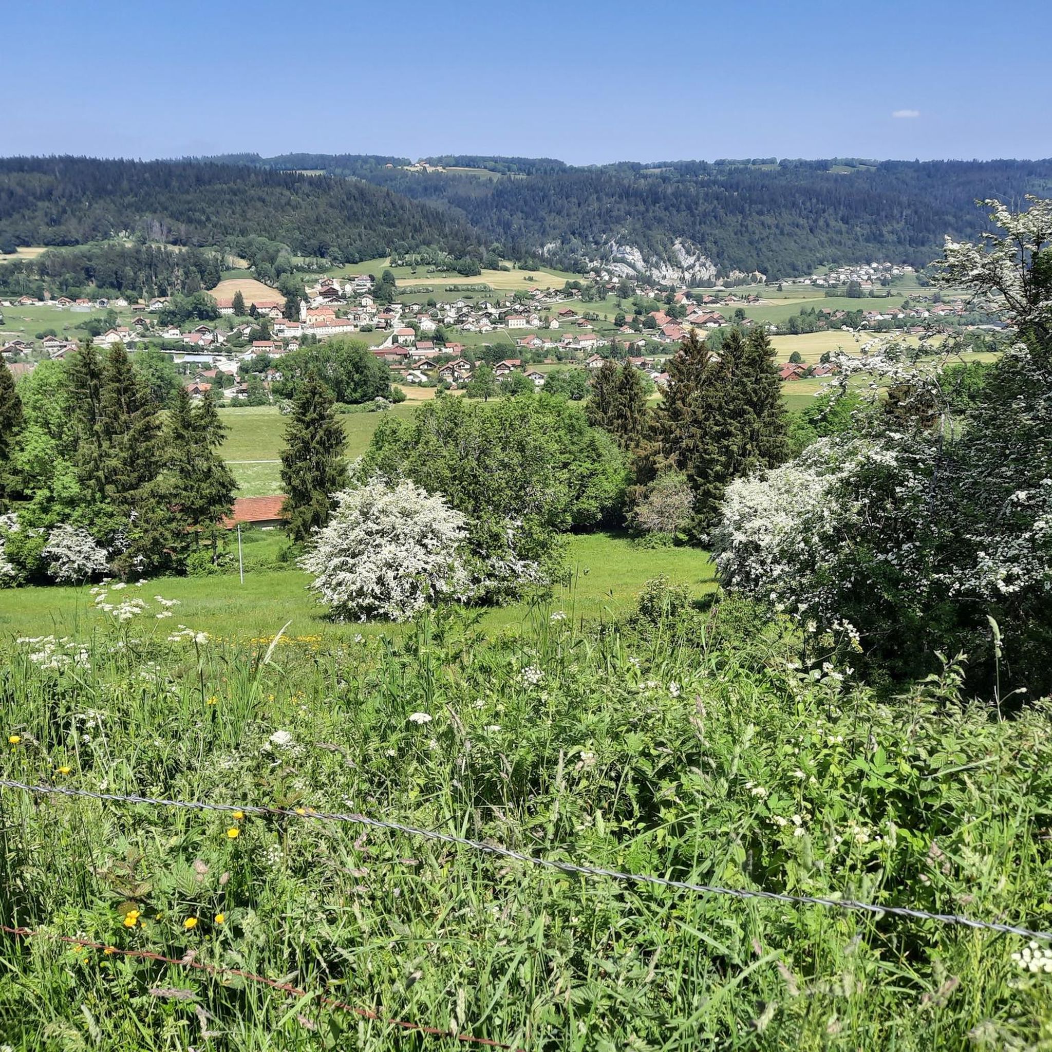
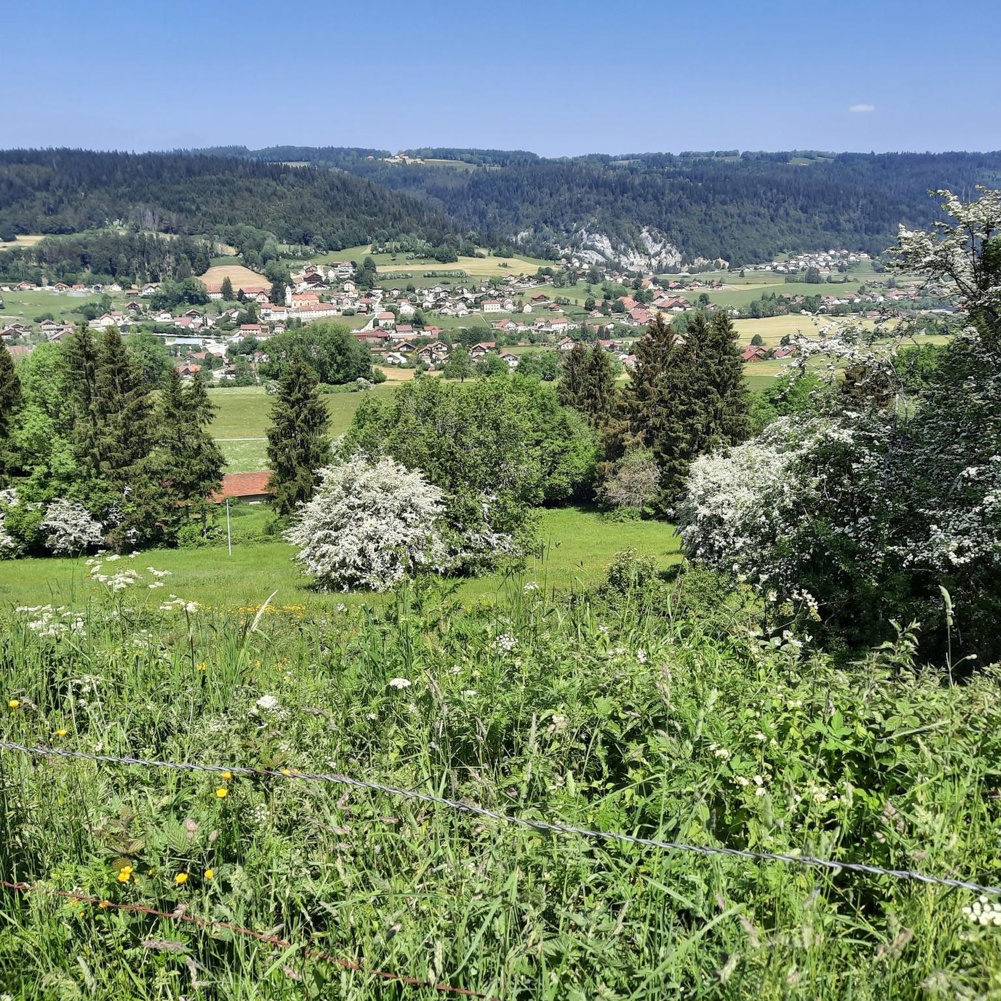
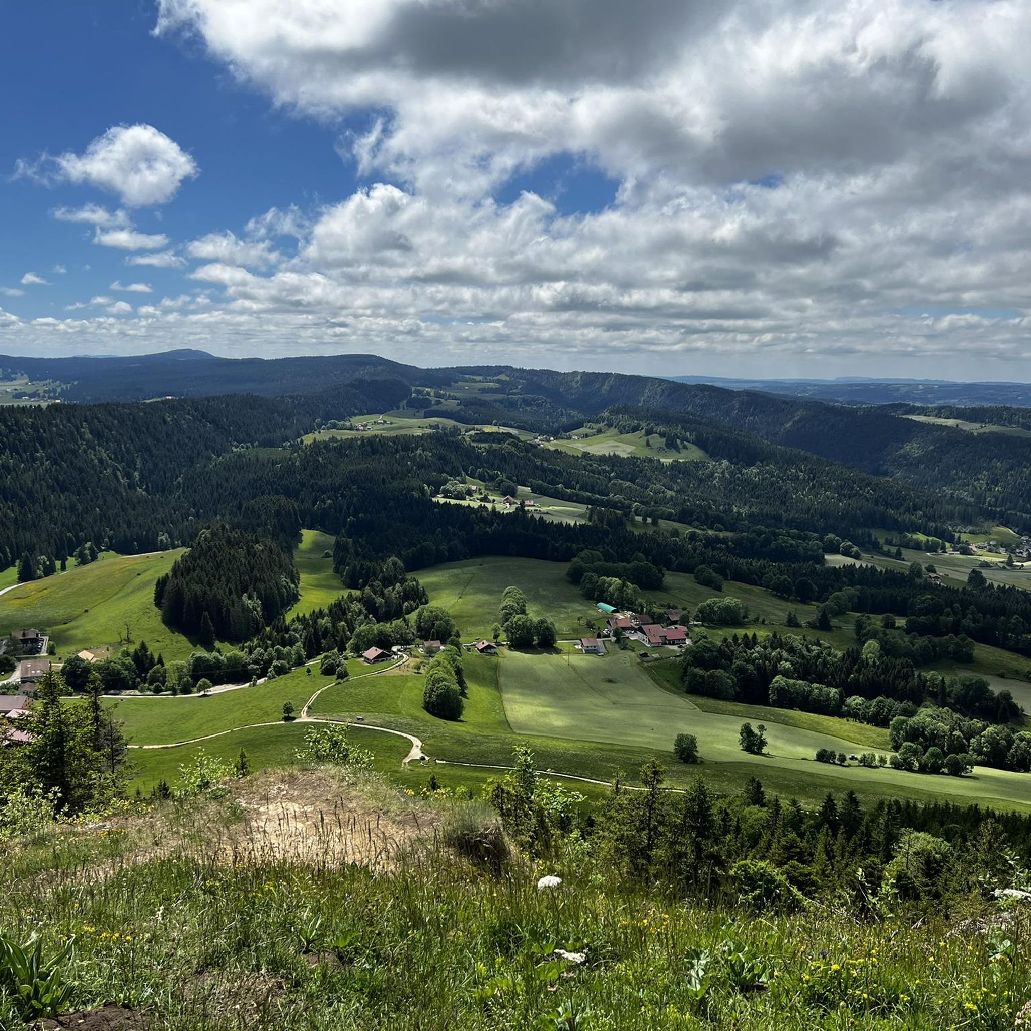
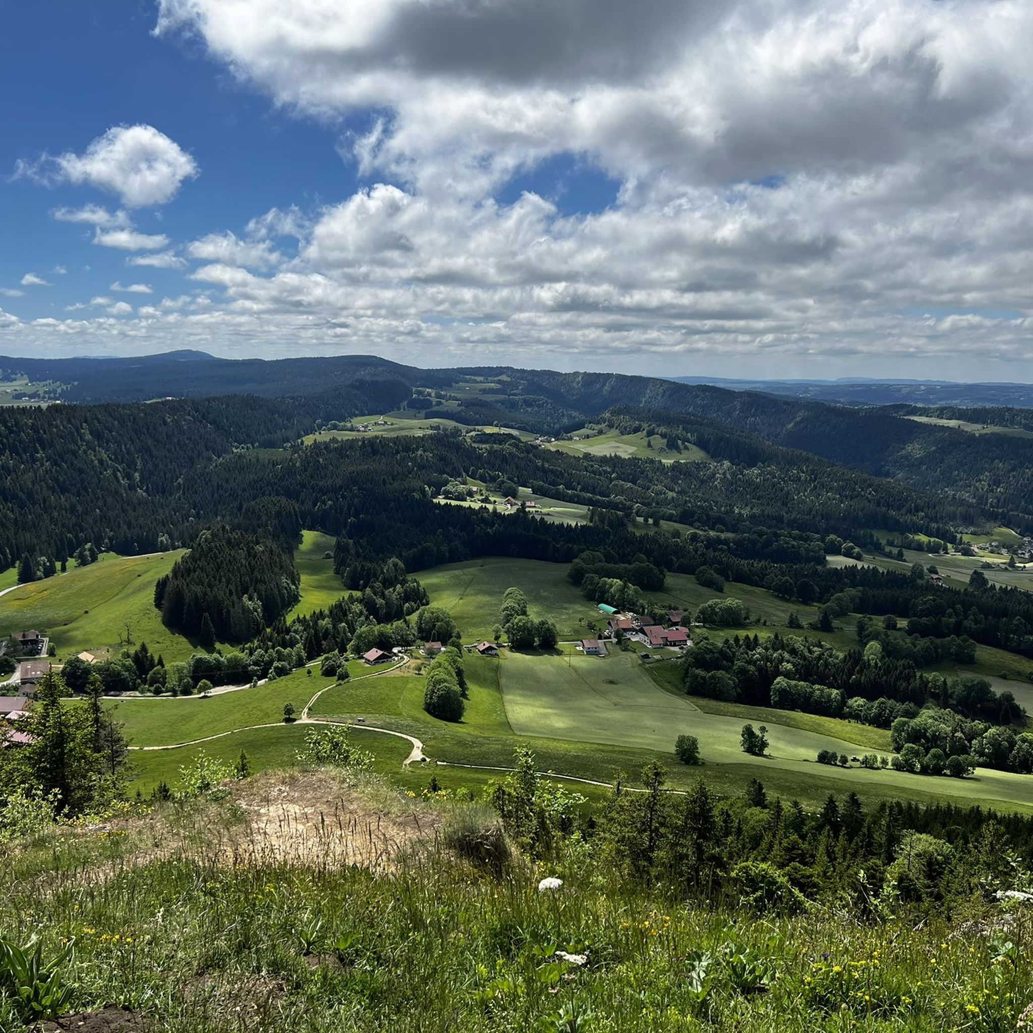
Best attractions and places to see around Grand'Combe-Châteleu include a blend of preserved heritage and diverse natural landscapes. This "Petite cité de caractère" in Bourgogne Franche-Comté features traditional Comtois farms and significant religious sites. The area is characterized by Mont Châteleu, the Doubs River, and various streams, offering a range of outdoor activities. Visitors can explore dense forests, expansive meadows, and numerous hiking trails.
Best attractions and places to see around Grand'Combe-Châteleu
- The most popular attractions is Col sur le Mont, a trail that serves as a low-traffic pass between Grand'Combe-Châteleu and Ville-du-Pont. This climb is 3.9 kilometers long with an elevation gain of 203 meters.
- Another must-see spot is La Brévine Weather Station, a man-made monument known for recording Switzerland's lowest winter temperatures. It is located at an altitude of 1,050 meters.
- Visitors also love Brenets Lake, a natural lake nestled in the Jura massif. Excursion boats offer tours from April to autumn, and visitors can combine this with lakeshore hikes.
- Grand'Combe-Châteleu is known for its historical sites, natural features, and diverse hiking opportunities. The area offers a variety of attractions to see and explore, from traditional farms to scenic viewpoints and educational gardens.
- The attractions around Grand'Combe-Châteleu are appreciated by the komoot community, with 67 upvotes and 78 photos shared across 8 highlights.
Last updated: July 6, 2026
Môtiers village center
Highlight • Settlement
Môtiers: from the Latin monasteries, meaning church or monastery. The foundation of Môtiers merges with the foundation of the priory of St-Pierre, probably in the 10th century in a still sparsely populated Val-de-Travers. The village developed around the monastery, then rich and powerful. At the beginning of the 14th century, the Counts of Neuchâtel were the rulers of Val-de-Travers and were represented by lords. The castle, first mentioned in 1344, became their residence. At the beginning of the 16th century, the construction of an inn and the famous "town house" began: it is the Hotel des Six-Communes. The building, as it can still be admired, dates from around 1590.
Jean-Jacques Rousseau stayed there from 1762 to 1765, but his disputes with the pastor of Montmollin forced the philosopher to leave Môtiers for the Ile Saint-Pierre. The 19th century left the capital a little distant from the industrial development of the rest of the district. There are a few small watch factories, a few absinthe distilleries and a company still present in the priory buildings that produces sparkling wines using the champagne method.
In 1987, the municipality developed a policy to protect its architectural heritage. The character of the village and the quality of its cultural and artistic life make Môtiers a place appreciated by visitors.
Text / Source: Val de Travers, Rue du Temple 8, 2114 Fleurier
val-de-travers.ch/page/motiers#:~:text=Histoire%20du%20village%20de%20Mostier%20-%20Moustier%20-,d%C3%A9veloppe%20autour%20du %20monast%C3%A8re%2C%20alors%20riche%20et%20puissant.
Translated by Google •
Tip by

La Brévine Weather Station
Highlight • Monument
Temperatures of −30 °C are not uncommon, earning the place the nickname "Siberia of Switzerland". At the La Brévine measuring station, on January 12, 1987, −41.8 °C was recorded, the lowest temperature ever measured at an official MeteoSchweiz station in Switzerland.
For the 1991–2020 normal period, the average annual temperature is 5.3 °C, with January at −3.5 °C being the coldest and July at 14.4 °C being the warmest monthly average temperatures. On average, around 183 frost days and 36 ice days are to be expected here. There are an average of 15 to 16 summer days per year, while an average of one heat day is recorded.
The MeteoSchweiz measuring station is located at an altitude of 1050 meters.
Showing Translation
Tip by

Sign up now to discover places like this
Get recommendations on the best single tracks, peaks, & plenty of other exciting outdoor places.
Sign up for free
Asphalt Mines of La Presta
Highlight • Historical Site
In 1711, the first modern scientist specializing in the field of asphalt, the Greek doctor Eirini d'Eyrinys, identified the first deposits on the northern anticline of Val-de-Travers. Initially interested in the therapeutic effects of this material, he laid the foundations for its modern use in his "Dissertation sur l'asphalt ou ciment naturel".
The first mine was open-pit and it seems well established that exploitation only concerned the Combe-Vaubayon deposit until 1812. The documents available do not agree on the exact date (around 1830) when the La Presta deposit on the southern slope of the valley would have started to be exploited.
After passing through various hands, the mine became the property of an English company, the "Neuchâtel Asphalte Company Ltd.", in 1873. It should be noted that asphalt, like salt, is subject to royal law and that in 1873 the latter charged a sum of around CHF 5 per tonne (around CHF 15 per tonne in 1986).
Around 1960, NACO Ltd. was taken over by one of the most powerful road companies in Europe, the British company Tarmac.
The asphalt mines of Presta were thus used artisanally and then industrially from 1712 to 1986 before being opened to the public.
Text / Source: Les Mines d'asphalte du Val-de-Travers
mines-asphalte.ch/a-propos
Translated by Google •
Tip by
Travers Village and Stone Bridge
Highlight • Settlement
The area of the 24.7 km² former municipal area includes the eastern section of the Val de Travers, which has a flat valley floor around 600 m wide. East of the village, the Areuse curves northwards, passes the narrow point between the steep slopes of Côte Lambercier and Côte de Rortier and then enters the Noiraigue basin, the western part of which also belonged to Travers. In the south, the municipal area extended over the densely wooded steep slope (Bois des Lacherels) to the anticline of the Chasseron. In the very southeast, at Soliat, it reached the upper edge of the Creux du Van rock arena, where the highest point in Travers was at 1410 m above sea level. To the north, the municipal area extended over the Rotel plateau and the Crêt de Sapel (1210 m above sea level) to the height of Roumaillard (1263 m above sea level) and into the dry valley of Combe Pellaton. This lies in the catchment area of the Vallée des Ponts high valley, the extreme southwest of which belonged to Travers. Particularly on the Rotel plateau and on the Crêt de Sapel there are extensive Jura high pastures with the typical mighty spruce trees, which stand either individually or in groups. In 1997, 4% of the municipal area was used for settlements, 43% for forest and woodland, 52% for agriculture and just over 1% was unproductive land.
Travers included the hamlets of Vers chez Montandon (730 m above sea level) to the right of the Areuse, Vers chez le Bois (837 m above sea level) on the northern slope of the valley and Le Sapelet (1098 m above sea level) on the southern slope of the Crêt de Sapel as well as numerous individual farms on the valley slopes and on the Jura heights. Neighbouring communities of Travers were Couvet, La Brévine, Les Ponts-de-Martel, Brot-Plamboz, Noiraigue and Gorgier in the canton of Neuchâtel and Provence in the canton of Vaud.
Translated by Google •
Tip by

Brenets Lake
Highlight • Lake
You can find information on prices and departure times here: nlb.ch/index.php/de
Translated by Google •
Tip by

Sign up for free to discover even more attractions around Grand'Combe-Châteleu.
Sign up for free
Already have an account?
Start today with a free account
Your next adventure awaits.
Login or Signup
Tips from the Community

For hotel guests, a boat trip to the waterfalls and back is free ... otherwise the one-way trip costs 9 sfr
0
0


Lac des Brenets is nestled in the Jura massif, overlooked by wooded cliffs. The lake consists of three basins, ending with the impressive Saut de Doubs.
1
0

Absinthe! Try this high-quality drink with its great history!
2
0

In autumn and late summer the lake tends to dry out. The waterfall then also has no water.
0
0

History of the village of Mostier - Moustier - Môtiers Môtiers: from the Latin monasteries, meaning church or monastery. The foundation of Môtiers merges with the foundation of the priory of St-Pierre, probably in the 10th century in a still sparsely populated Val-de-Travers. The village developed around the monastery, then rich and powerful. At the beginning of the 14th century, the Counts of Neuchâtel were the rulers of Val-de-Travers and were represented by lords. The castle, first mentioned in 1344, became their residence. At the beginning of the 16th century, the construction of an inn and the famous "town house" began: it is the Hotel des Six-Communes. The building, as it can still be admired, dates from around 1590. Jean-Jacques Rousseau stayed there from 1762 to 1765, but his disputes with the pastor of Montmollin forced the philosopher to leave Môtiers for the Ile Saint-Pierre. The 19th century left the capital a little distant from the industrial development of the rest of the district. There are a few small watch factories, a few absinthe distilleries and a company still present in the priory buildings that produces sparkling wines using the champagne method. In 1987, the municipality developed a policy to protect its architectural heritage. The character of the village and the quality of its cultural and artistic life make Môtiers a place appreciated by visitors. Text / Source: Val de Travers, Rue du Temple 8, 2114 Fleurier https://www.val-de-travers.ch/page/motiers#:~:text=Histoire%20du%20village%20de%20Mostier%20-%20Moustier%20-,d%C3%A9veloppe%20autour%20du %20monast%C3%A8re%2C%20alors%20riche%20et%20puissant.
12
1
Bitumen Bitumen (Latin pix tumens, "sweating pitch", "earth pitch", "grave pitch") is (according to DIN EN 12597) the name for the dark-colored, semi-solid to hard, sticky hydrocarbon mixtures obtained during the gentle processing of petroleum. It is also present in natural asphalt. Due to its low content of polycyclic aromatic hydrocarbons (PAH), bitumen has replaced the previously used coal tar and is now used for the same purpose, primarily in road construction and for sealing work. Bitumen is a colloidal system made up of a dispersant, the maltenes, and the asphaltenes and petroleum resins dispersed in it. Text / Source: Wikipedia https://de.wikipedia.org/wiki/Bitumen
8
0
Les Mines d'asphalte du Val-de-Travers In 1711, the first modern scientist specializing in the field of asphalt, the Greek doctor Eirini d'Eyrinys, identified the first deposits on the northern anticline of Val-de-Travers. Initially interested in the therapeutic effects of this material, he laid the foundations for its modern use in his "Dissertation sur l'asphalt ou ciment naturel". The first mine was open-pit and it seems well established that exploitation only concerned the Combe-Vaubayon deposit until 1812. The documents available do not agree on the exact date (around 1830) when the La Presta deposit on the southern slope of the valley would have started to be exploited. After passing through various hands, the mine became the property of an English company, the "Neuchâtel Asphalte Company Ltd.", in 1873. It should be noted that asphalt, like salt, is subject to royal law and that in 1873 the latter charged a sum of around CHF 5 per tonne (around CHF 15 per tonne in 1986). Around 1960, NACO Ltd. was taken over by one of the most powerful road companies in Europe, the British company Tarmac. The asphalt mines of Presta were thus used artisanally and then industrially from 1712 to 1986 before being opened to the public. Text / Source: Les Mines d'asphalte du Val-de-Travers https://www.mines-asphalte.ch/a-propos/
8
0
Frequently Asked Questions
What are the key natural features to explore around Grand'Combe-Châteleu?
The region boasts diverse natural settings, including dense forests, expansive meadows, and streams like the Doubs River and the Theverot torrent. You can also visit Brenets Lake, nestled in the Jura massif, where excursion boats operate from April to autumn. Mont Châteleu, at 1302 meters, offers panoramic views, and the magnificent Saut du Doubs waterfall is a prominent natural wonder in the wider area.
Are there historical or cultural sites worth visiting in Grand'Combe-Châteleu?
Yes, Grand'Combe-Châteleu is rich in heritage. You can explore the Môtiers village center with its historical buildings, or delve into the past at the Ferme-Musée (Farm-Museum) in the Cordiers district, an 18th-century farmhouse showcasing traditional life. The village also features numerous well-preserved Comtois farms, some listed as historical monuments, and a Path of Fountains for a cultural walk.
What kind of hiking opportunities are available near Grand'Combe-Châteleu?
A multitude of hiking trails originate from Grand'Combe-Châteleu, allowing you to immerse yourself in the natural environment. Popular routes include the 'Cascade des Chaudières et mont Châteleu' loop and the 'Grotte de la Grande Cave – Grande Croix de Falaise'. For more options, you can explore various running trails in the area, such as the 'Poussey Cave – Bridge over the Doubs loop' or routes around Mont Châteleu. Find more details on available routes at Running Trails around Grand'Combe-Châteleu.
Are there any unique man-made attractions in the vicinity?
Absolutely. You can visit the La Brévine Weather Station, known as the 'Siberia of Switzerland' for recording the country's lowest winter temperatures. Another fascinating site is the Asphalt Mines of La Presta, where asphalt was mined for three centuries, offering regular tours to explore its history.
What are some family-friendly activities or attractions in Grand'Combe-Châteleu?
Many attractions are suitable for families. The Ferme-Musée offers an engaging look at traditional farm life, and the Pedagogical Garden and Conservation Orchard provide educational insights into local flora. Exploring the Môtiers village center or taking a boat tour on Brenets Lake are also great options for all ages.
What is the best time of year to visit Grand'Combe-Châteleu?
Grand'Combe-Châteleu offers attractions year-round. From April to September, the village hosts a cultural season with various events. During winter, the La Bonade Ski Resort caters to winter sports enthusiasts. Excursion boats on Brenets Lake run from April to autumn, making spring, summer, and early autumn ideal for water activities and hiking.
Can I find cycling routes near Grand'Combe-Châteleu?
Yes, the area offers various cycling opportunities. For road cyclists, Col sur le Mont is a pleasant, low-traffic pass between Grand'Combe-Châteleu and Ville-du-Pont. Mountain biking enthusiasts can find numerous trails, including loops around Lac des Taillères or Mont Vouillot. Explore more options at MTB Trails around Grand'Combe-Châteleu and Gravel biking around Grand'Combe-Châteleu.
What kind of local crafts or products can I find in the village?
Grand'Combe-Châteleu supports a vibrant community of local artisans and businesses. You can find a fruit shop, a cabinetmaker, and ironwork, showcasing the area's craft traditions. The Ferme-Musée also features workshops demonstrating skills of farriers, wheelwrights, and blacksmiths.
What do visitors enjoy most about Grand'Combe-Châteleu?
Visitors particularly appreciate the blend of preserved heritage and diverse natural landscapes. The traditional Comtois farms and the historical sites offer a glimpse into the past, while the scenic viewpoints, such as those from Mont Châteleu or along the Col sur le Mont, provide breathtaking vistas. The variety of hiking and cycling opportunities through forests and meadows is also highly valued.
Are there any specific events or festivals held in Grand'Combe-Châteleu?
Annually, from April to September, Grand'Combe-Châteleu hosts a cultural season. The village also celebrates with events such as a traditional crafts festival ('fête des vieux métiers') and an outdoor music festival, offering unique cultural experiences.
Can I see traditional Comtois architecture in Grand'Combe-Châteleu?
Yes, the village is notable for its numerous well-preserved Comtois farms, especially in the Cordiers district. Three of these farms are officially listed as historical monuments. Their unique architecture, characterized by large roofs and distinctive 'tuyé' chimneys, provides a tangible link to the region's agricultural past.
Most popular routes around Grand'Combe-Châteleu
Most popular attractions around Grand'Combe-Châteleu

Get inspired with the komoot mobile app


Explore more
Still not found the Highlight you’re looking for? See guides of the top attractions in other regions:
