The best MTB trails around Saint-Symphorien-De-Mahun
4.1
(78)
370
riders
60
rides
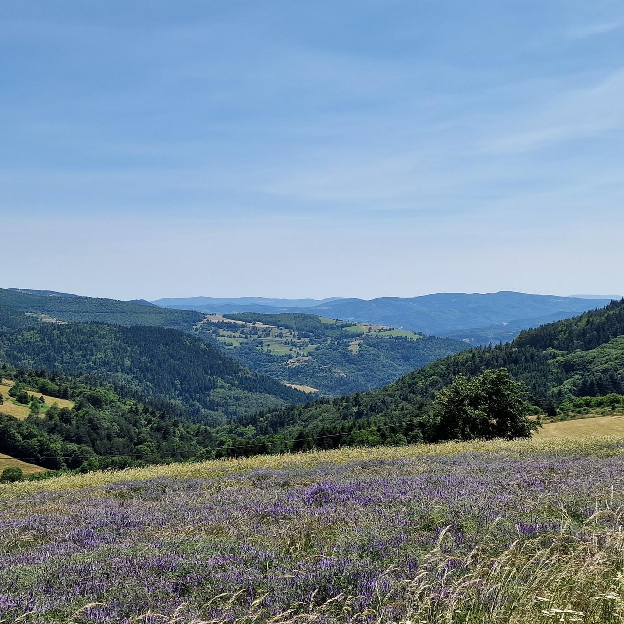
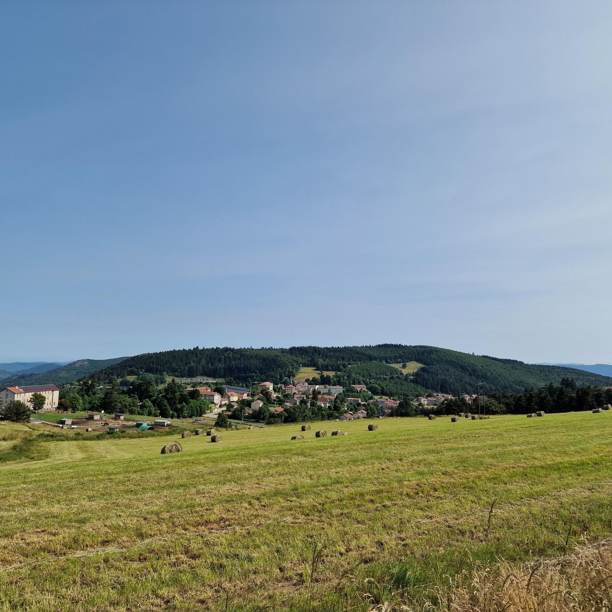
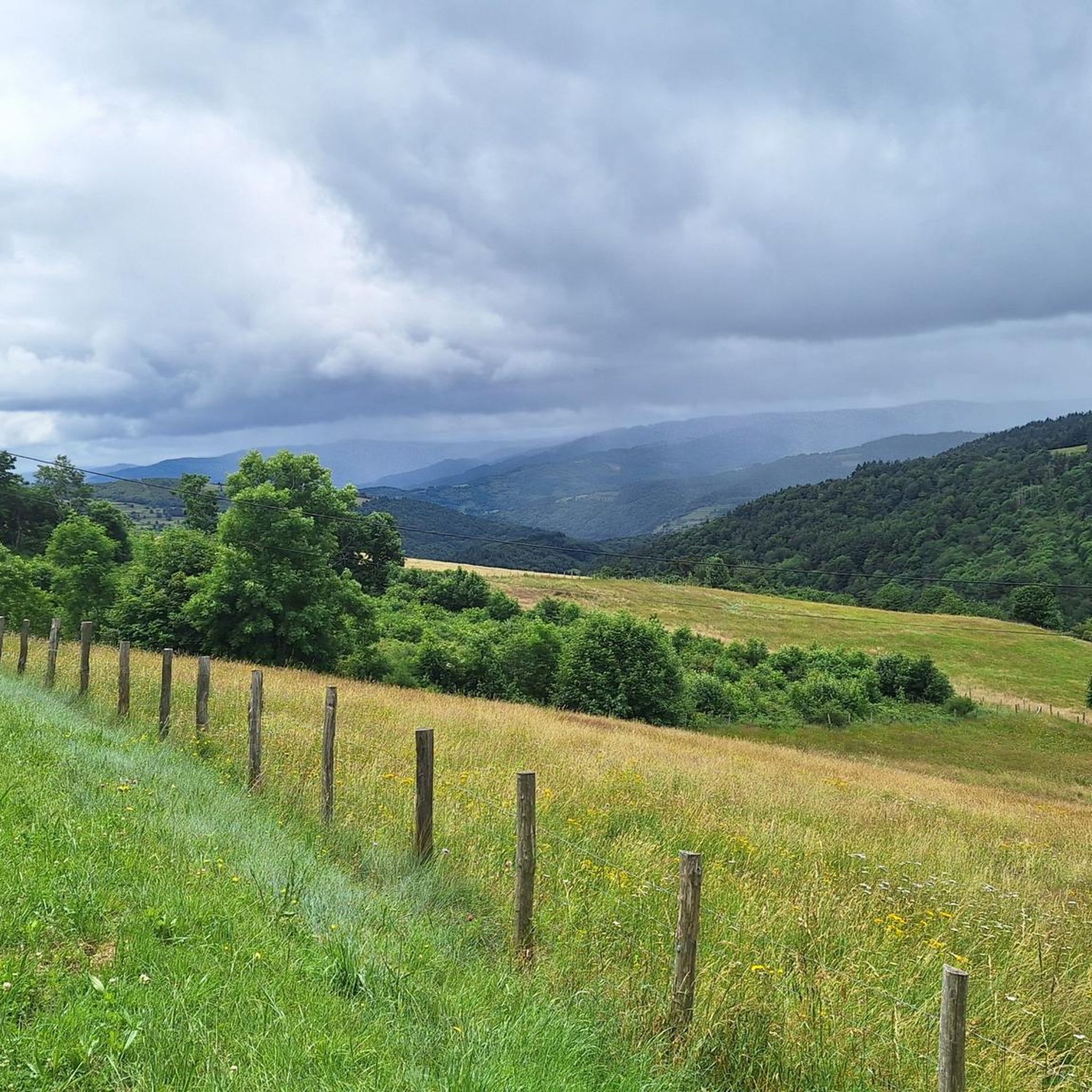
Mountain bike trails around Saint-Symphorien-De-Mahun traverse a diverse landscape characterized by varied altitudes, ranging from 539 to 1286 meters. The region features extensive wooded areas, covering over 1900 hectares, and is shaped by the Nant Valley. Rocky summits like Le Chirat Blanc, at 1146 meters, offer elevated viewpoints over the surrounding terrain. This mountainous environment provides a challenging and engaging setting for mountain biking.
Best mountain bike trails around Saint-Symphorien-De-Mahun
- The most popular mountain bike trail is La reffio 2015…
Last updated: July 1, 2026
5.0
(1)
7
riders
33.1km
03:01
750m
750m
Moderate mountain bike ride. Good fitness required. Suitable for all skill levels.
5
riders
30.8km
03:18
1,080m
1,080m
Hard mountain bike ride. Very good fitness required. Advanced riding skills necessary.

Sign up for free
4.0
(4)
9
riders
42.2km
02:41
560m
570m
Moderate mountain bike ride. Good fitness required. Suitable for all skill levels.
5.0
(2)
9
riders
33.2km
02:55
690m
690m
Moderate mountain bike ride. Good fitness required. Suitable for all skill levels.
5.0
(1)
5
riders
23.6km
01:58
460m
460m
Moderate mountain bike ride. Good fitness required. Advanced riding skills necessary.
Get access to more routes and recommendations from other explorers.
Sign up for free
Already have an account?
Our route recommendations are based on thousands of hikes, rides, and runs completed by other people on komoot.
Start today with a free account
Your next adventure awaits.
Login or Signup

Tips from the Community

This ancient bridge enhances the already marvelous landscapes of the Cance Gorges. A place to contemplate during a break!
1
0

Very beautiful bridge
0
0

a very beautiful lake. a magnificent place
0
0

nice for photos when riding with several people
0
0

The Péréandre rock is a 39 m monolithic basalt rock classified as a national heritage site.
0
0

Very nice route - with a great descent.
1
0

A superb, completely exotic course, a stone's throw from Annonay and the Rhône Valley, you'd think you were in Haute-Ardèche or Lozère... it's so calm and wild at the same time!
2
0

Magnificent winding road on the edge of the canyon.
0
0
Frequently Asked Questions
How many mountain bike trails are available around Saint-Symphorien-De-Mahun?
There are over 50 mountain bike trails around Saint-Symphorien-De-Mahun. These routes cater to various skill levels, including easy, moderate, and difficult options, traversing diverse landscapes with significant elevation changes.
What kind of terrain can I expect on mountain bike trails in Saint-Symphorien-De-Mahun?
Mountain biking in Saint-Symphorien-De-Mahun features varied terrain, with altitudes ranging from 539 to 1286 meters. You'll encounter extensive wooded areas, the scenic Nant Valley, and rocky summits like Le Chirat Blanc, offering a challenging and engaging environment.
Are there any family-friendly mountain bike trails in the area?
Yes, Saint-Symphorien-De-Mahun offers a few easy mountain bike routes suitable for families. While the region is known for its challenging terrain, there are options to accommodate less experienced riders.
Where can I find trails with panoramic views?
Many trails in the region offer superb panoramic views. For example, the "The Nant Valley" MTB route ascends to the Lalouvesc plateau, providing expansive vistas. Another excellent option is the View of Rochelipe – Rochelire Viewpoint loop from Satillieu, which is known for its extensive views and demanding climbs.
What are some notable natural features to see while mountain biking?
The region is rich in natural beauty. You can explore the picturesque Nant Valley, which cuts through the town, and admire rocky summits like Le Chirat Blanc (1146 meters), offering magnificent viewpoints. The area is also surrounded by peaks such as Mont Chaix, Rocheplate, and Rochedevent.
Are there any circular mountain bike routes?
Yes, many of the mountain bike trails around Saint-Symphorien-De-Mahun are circular routes. For instance, the Cance Gorges – Gorges de la Cance loop from Saint-Alban-d'Ay is a popular moderate trail that takes you through the scenic Cance Gorges and returns to the starting point.
What do other mountain bikers say about the trails in Saint-Symphorien-De-Mahun?
The mountain bike routes in Saint-Symphorien-De-Mahun are highly rated by the komoot community, with an average score of 4.3 stars from over 65 reviews. More than 350 mountain bikers have explored the varied terrain, often praising the challenging climbs and rewarding views.
Are there any advanced or difficult mountain bike trails?
Yes, Saint-Symphorien-De-Mahun offers 17 difficult mountain bike trails. A challenging option is La reffio 2015 loop from Saint-Alban-d'Ay, a 32.7 km route with significant elevation gain, typical of the region's demanding terrain.
What historical sites or landmarks can I visit near the mountain bike trails?
Beyond the trails, you can explore the ruins of Mahun Castle, which offer a bird's-eye view of the town. The 12th-century Church of Veyrines, a former priory, is also a notable historical monument. You can also find several mountain passes nearby, such as Buisson Pass or Col du Fau (1021 m).
Are there any trails that pass by lakes or water features?
Yes, some routes incorporate water features. The Lac des Meinettes loop from Satillieu is a moderate trail that takes you past the lake, offering a different scenic experience.
What is the best time of year for mountain biking in Saint-Symphorien-De-Mahun?
The diverse altitudes and wooded areas suggest that spring and autumn would be ideal, offering pleasant temperatures and vibrant scenery. Summer can also be good, especially in the shaded wooded sections, but always check local conditions.
Are there any specific mountain passes accessible by bike?
The region is home to several mountain passes that can be incorporated into your rides. Notable passes include Rouvey Pass and Col Robert Marchand (911 m), offering challenging climbs and rewarding views.
Most popular routes around Saint-Symphorien-De-Mahun
Most popular attractions around Saint-Symphorien-De-Mahun

Get inspired with the komoot mobile app


Explore more
Browse the best MTB trails in other regions.
