The best road cycling routes around Chambost-Longessaigne
4.6
(21)
827
riders
76
rides
Road cycling routes around Chambost-Longessaigne traverse a landscape characterized by rolling hills, rural roads, and significant elevation changes. The region features numerous cols and viewpoints, offering varied terrain for road cyclists. With routes ranging from gentle gradients to challenging ascents, the area provides diverse options for exploring its natural and agricultural surroundings.
Best road cycling routes around Chambost-Longessaigne
- The most popular road cycling route is Col de la Croix de Mazieux – View of Savigny loop from Jas, a…
Last updated: October 20, 2026
4.0
(1)
15
riders
45.9km
02:18
700m
700m
Moderate road ride. Good fitness required. Mostly well-paved surfaces and easy to ride.
10
riders
66.9km
03:00
540m
540m
Moderate road ride. Good fitness required. Mostly well-paved surfaces and easy to ride.

4.0
(1)
9
riders
Hard road ride. Very good fitness required. Mostly well-paved surfaces and easy to ride.
8
riders
63.4km
03:24
1,250m
1,250m
Hard road ride. Very good fitness required. Mostly well-paved surfaces and easy to ride.
5.0
(1)
8
riders
Hard road ride. Very good fitness required. Mostly well-paved surfaces and easy to ride.
Get access to more routes and recommendations from other explorers.
Already have an account?
Our route recommendations are based on thousands of hikes, rides, and runs completed by other people on komoot.
Start today with a free account
Your next adventure awaits.
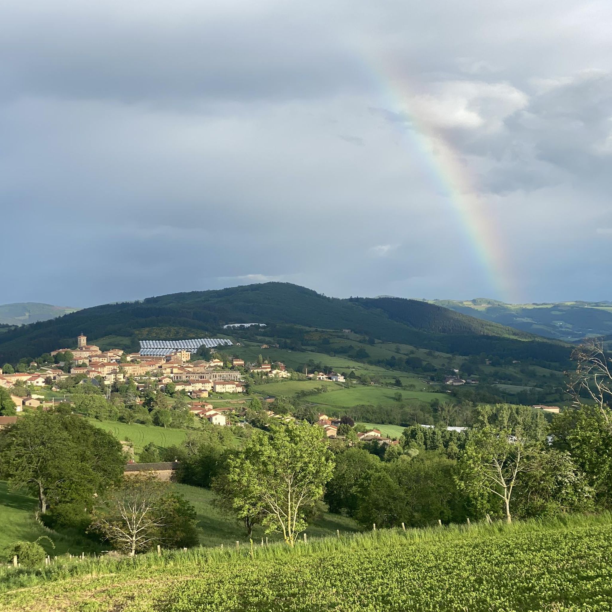
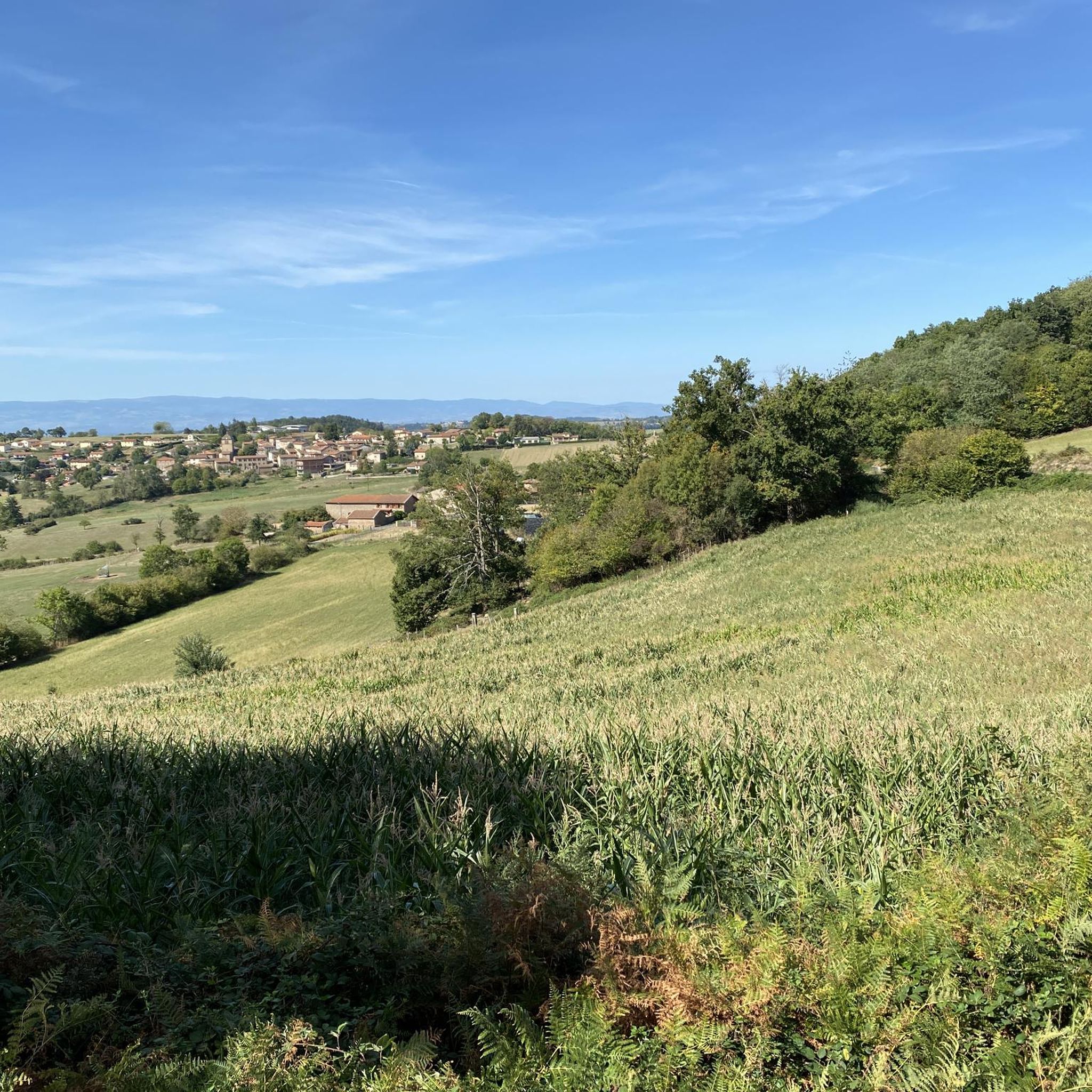
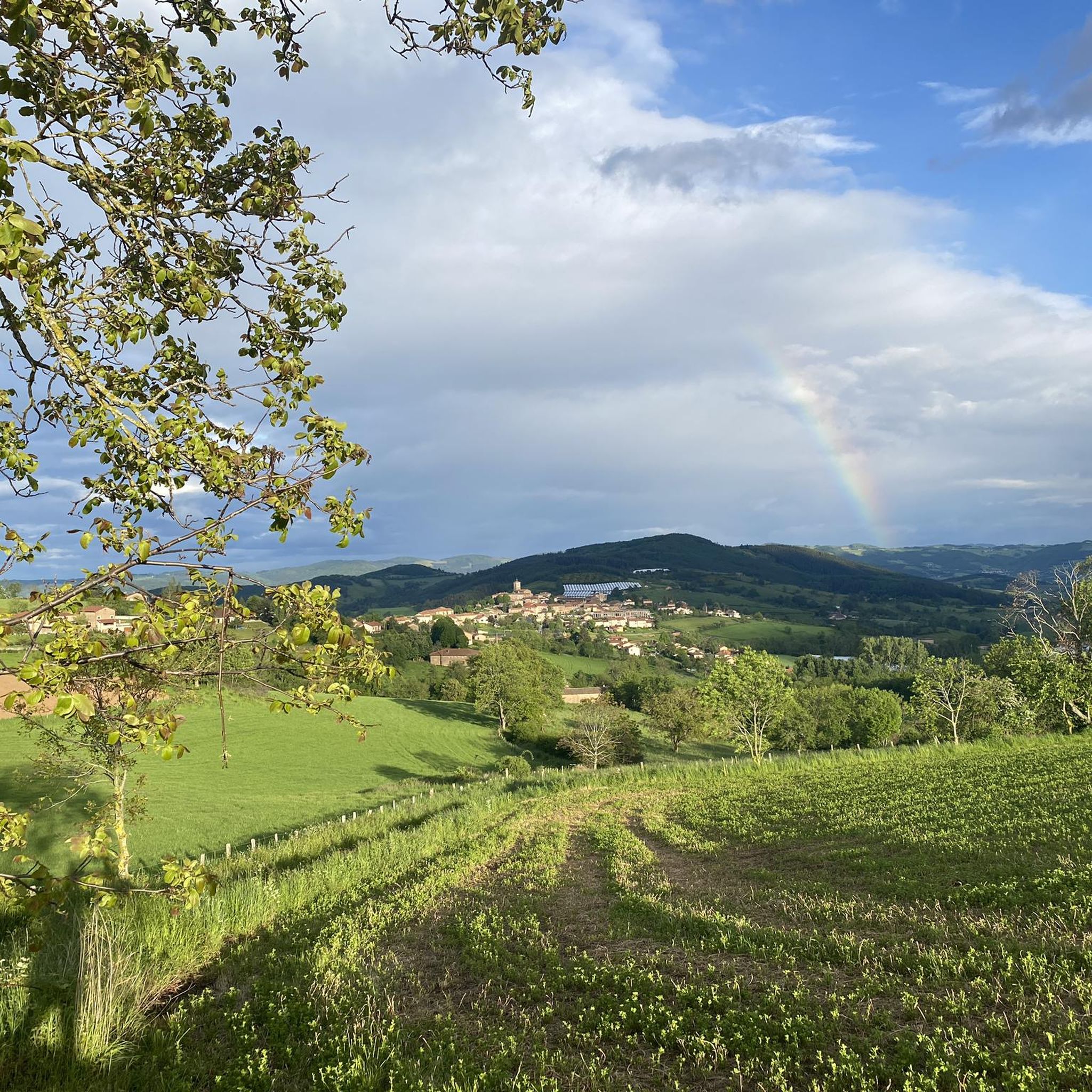
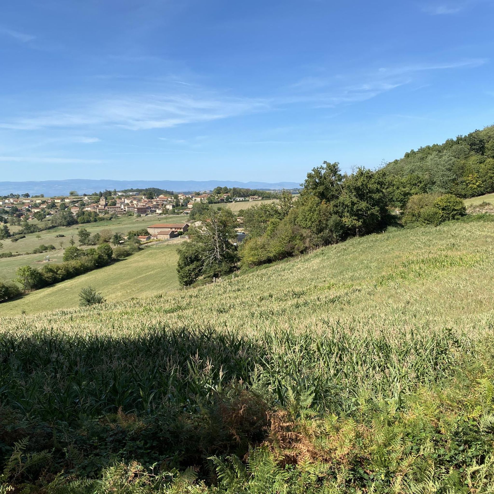
Tips from the Community

A dynamic country village in the heart of the Monts du Lyonnais, ideal for stopping over during a weekend in the region.
0
0

To see the remains of an old steam locomotive 🚂
0
0
To see the Matagrin tower on the summit of mount Bessuivre
0
0

Very good path along the Aveize road
0
0

The highest point on the road that connects Tarare to Panissières and then Feurs. 843 meters above sea level
0
0


The one of me prefers cabbage
0
0

A wonderful little road through the countryside, connecting the road out of Tarare via the viaduct to just above the village of St. Marcel L'Eclairé. The road has some elevation changes, but is very well-surfaced. There are very few vehicles, and you're rewarded with a beautiful view.
0
0
Frequently Asked Questions
How many road cycling routes are available around Chambost-Longessaigne?
There are nearly 80 road cycling routes available around Chambost-Longessaigne, offering a wide range of options for different skill levels. The komoot community has explored these routes over 700 times.
What kind of terrain can I expect on road cycling routes in Chambost-Longessaigne?
Road cycling routes in Chambost-Longessaigne are characterized by rolling hills, rural roads, and significant elevation changes. You'll encounter varied terrain, including numerous cols and viewpoints, providing both gentle gradients and challenging ascents.
Are there easy road cycling routes suitable for beginners in Chambost-Longessaigne?
Yes, there are several easy road cycling routes. For instance, the Le Rocher – Molagy loop from Longessaigne is an easy option, covering about 6.3 km with moderate elevation gain, perfect for a relaxed ride.
Where can I find challenging climbs for advanced road cyclists?
Chambost-Longessaigne offers challenging climbs for advanced cyclists. Routes like the Col de la Croix de Mazieux – View of Savigny loop from Jas feature significant climbs and panoramic views, with over 1100 meters of elevation gain over 70 km.
Are most road cycling routes in Chambost-Longessaigne circular?
Yes, many of the road cycling routes around Chambost-Longessaigne are designed as loops, allowing you to start and finish at the same point. Examples include the Chessieux Viaduct – Pinay Dyke loop from Saint-Barthélemy-Lestra and the Crozat loop from Saint-Martin-Lestra.
What are the typical distances and elevations for road cycling routes in this region?
Routes vary significantly. You can find shorter, easier rides around 6 km with about 80 meters of elevation, up to longer, difficult routes exceeding 70 km with over 1100 meters of climbing. Moderate routes often fall in the 40-70 km range with 500-900 meters of elevation.
What do other road cyclists say about the routes in Chambost-Longessaigne?
The road cycling routes in Chambost-Longessaigne are highly rated by the komoot community, with an average score of 4.6 stars from over 20 reviews. Cyclists often praise the varied terrain, challenging climbs, and the scenic rural landscapes.
What are some scenic viewpoints or landmarks I can see along the routes?
Many routes offer scenic views. You can pass by notable points like the Col de la Croix de Mazieux, which provides panoramic vistas. Other highlights include the Col de la Croix Cazard (865 m) and the charming settlement of Montrottier.
Are there any routes that pass through interesting historical or architectural sites?
Yes, some routes incorporate points of interest. For example, the Château de Lespinasse – Col de la Croix Cazard (865 m) loop from Panissières passes near the historic Château de Lespinasse, offering a glimpse into the region's heritage.
When is the best time of year for road biking in Chambost-Longessaigne?
The best time for road biking in Chambost-Longessaigne is generally from spring to autumn. During these seasons, the weather is typically mild, and the rural roads are pleasant for cycling. Summer offers longer daylight hours, while spring and autumn provide cooler temperatures and beautiful scenery.
Can I find long-distance road bike tours in the Chambost-Longessaigne area?
Yes, the region offers several longer routes. Many tours are around 70 km, such as the Col de la Croix de Mazieux – View of Savigny loop from Jas, which provides a substantial ride with significant elevation, suitable for those looking for a longer day out.
Most popular routes around Chambost-Longessaigne
Most popular attractions around Chambost-Longessaigne

Get inspired with the komoot mobile app


Explore more
Browse the best Road cycling routes in other regions.
