The best walks and hikes around Saint-Symphorien-Sur-Coise
4.7
(193)
884
hikers
29
hikes
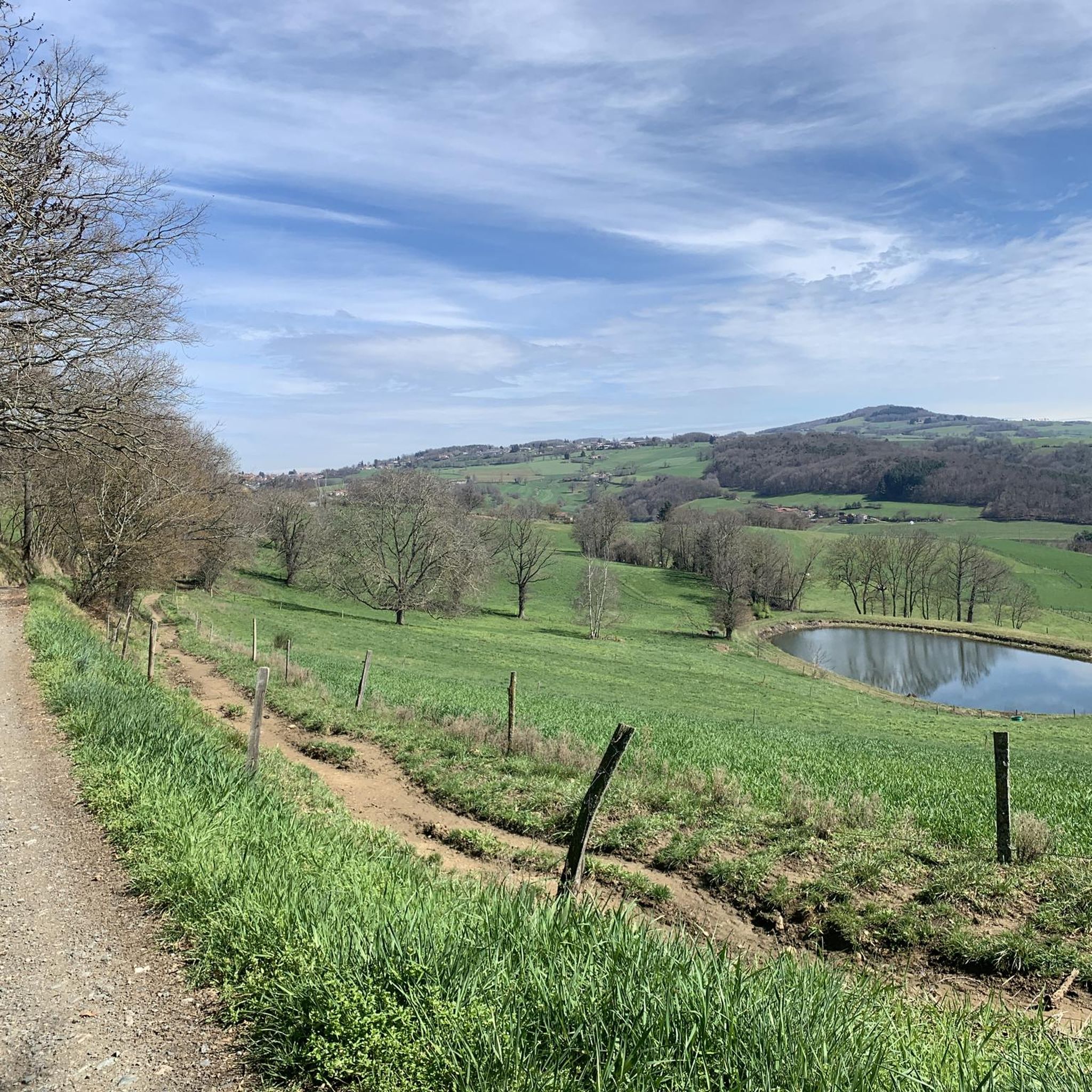
Hiking around Saint-Symphorien-Sur-Coise offers access to the varied landscapes of the Monts du Lyonnais, characterized by rolling hills, hedgerows, and valleys. The region features several rivers, including the Coise and Couzon, alongside forests and woodlands. Hikers can find paths leading to natural features such as the Barrage de la Gimond and points offering panoramic views of the surrounding area.
Best hiking trails around Saint-Symphorien-Sur-Coise
- The most popular hiking route is Water level – Tour of the Kings loop from Saint-Symphorien-sur-Coise…
Last updated: July 9, 2026
4.4
(7)
17
hikers
14.4km
04:09
370m
370m
Moderate hike. Good fitness required. Easily-accessible paths. Suitable for all skill levels.
4.5
(4)
13
hikers
Easy hike. Great for any fitness level. Easily-accessible paths. Suitable for all skill levels.

Sign up for free
5.0
(1)
13
hikers
16.7km
04:52
440m
440m
Moderate hike. Good fitness required. Easily-accessible paths. Suitable for all skill levels.
5.0
(2)
8
hikers
Moderate hike. Good fitness required. Easily-accessible paths. Suitable for all skill levels.
7
hikers
11.6km
03:22
300m
300m
Moderate hike. Good fitness required. Easily-accessible paths. Suitable for all skill levels.
Get access to more routes and recommendations from other explorers.
Sign up for free
Already have an account?
Our route recommendations are based on thousands of hikes, rides, and runs completed by other people on komoot.
Start today with a free account
Your next adventure awaits.
Login or Signup
Popular around Saint-Symphorien-Sur-Coise

Other adventures around Saint-Symphorien-Sur-Coise

Tips from the Community

Beautiful body of water
0
0

Perched on its promontory, the Chapelle de la Peur (Chapel of Fear) watches over the reliefs of the Monts du Lyonnais. Built in 1875 following a vow made during the Franco-Prussian War, it owes its name to the unique story of its creation. A place of contemplation, it remains associated with childhood fears that people came here to appease. From the orientation table, you can enjoy a wide panorama of the Coise valley and the surrounding landscapes.
0
0


Small hamlet, perfect for a stopover
0
0

Along the road to Chazelle, a small green setting is offered to nature lovers: the Hurongues lake. This ideal place for a walk and for a family picnic. Swimming is prohibited for the moment but a project is being studied to make this activity authorized in the summer of 2024.
0
0
Located on the old Aquitaine road that linked Lyon to Bordeaux, Saint-Symphorien became an important place in the 11th century when the Counts of Forez built their castle there, which later became the collegiate church. Even today, you can discover the remains of the fortifications that overlook the city. Saint-Symphorien has been able to exploit its geographical position during the development of industries, as evidenced by the industrial wasteland of the Tanneries. The city is part of the Most Beautiful Detours of France and is crossed by the way of Saint-Jacques-de-Compostelle. Its typical architecture with half-timbered houses, and its sausage make it a stop not to be missed.
1
0
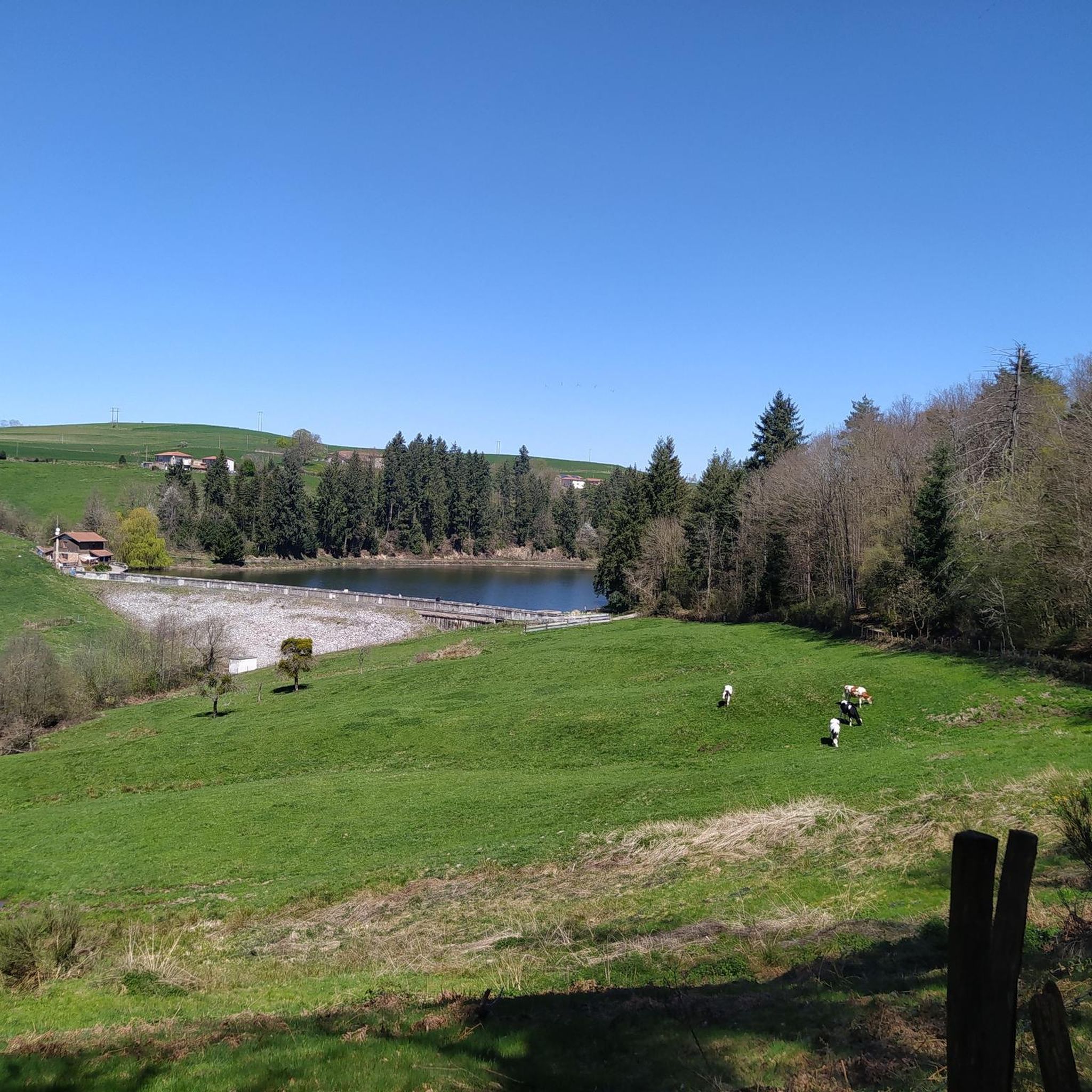
The Gimond dam was built in 1925 to supply water to the town of Chazelles-sur-Lyon and support the millinery industries. It is now a place of relaxation and stroll for walkers but also a place well known to fishermen.
0
0
Frequently Asked Questions
How many hiking trails are available around Saint-Symphorien-Sur-Coise?
There are over 25 hiking routes around Saint-Symphorien-Sur-Coise, offering a variety of experiences from easy strolls to more challenging treks through the Monts du Lyonnais.
What kind of landscapes can I expect to see while hiking here?
The region offers diverse landscapes, including rolling hills, hedgerows, and valleys characteristic of the Monts du Lyonnais. You'll find paths along rivers like the Coise and Couzon, through peaceful forests, and past serene spots like the Barrage de la Gimond. Many trails also lead to panoramic viewpoints.
Are there any easy hiking options suitable for families or beginners?
Yes, Saint-Symphorien-Sur-Coise has several easy trails. An accessible option is the Climbing area – Saint-Symphorien-sur-Coise loop from Saint-Symphorien-sur-Coise, which is 4.2 km long and offers a pleasant walk through local scenery.
Can I find challenging hikes with significant elevation gain?
While the Monts du Lyonnais are known for rolling hills rather than high mountains, some routes offer moderate elevation gain. For example, the Hiking loop from Saint-Denis-sur-Coise covers 16.7 km with over 430 meters of ascent, providing a good workout and expansive views.
Are there any circular routes available?
Many of the trails around Saint-Symphorien-Sur-Coise are circular, allowing you to start and end in the same location. A popular moderate circular route is the Water level – Tour of the Kings loop from Saint-Symphorien-sur-Coise, which is 14.4 km long.
What are the best viewpoints in the area?
For impressive panoramic views, consider trails that pass by the Chapel of La Salette, where you can see Saint-Symphorien and the Forez mountains. The Signal de Saint-André, the summit of the Monts du Lyonnais, also offers remarkable vistas, sometimes extending to the Rhône Valley, Pilat Massif, and even the Alps on clear days.
Are dogs allowed on the hiking trails?
Generally, dogs are welcome on most hiking trails in the Monts du Lyonnais, provided they are kept under control, especially near livestock or in nature reserves. It's always advisable to check specific trail regulations or local signage for any restrictions.
What interesting historical or cultural sites can I explore along the trails?
You can discover several cultural elements. Trails may lead you past the ancient menhir de Samson, the Chapel of La Salette, or the medieval site of Rochefort, which features a Romanesque chapel and dungeon ruins. The village of Saint-Symphorien-sur-Coise itself is known for its historical architecture.
Is public transport available to reach the hiking areas?
Public transport options directly to trailheads outside the main village can be limited. It is generally recommended to use a car to access various starting points for hikes around Saint-Symphorien-Sur-Coise, especially for routes further afield in the Monts du Lyonnais.
Where can I find parking for hiking trails?
Parking is typically available in the village of Saint-Symphorien-Sur-Coise and at designated starting points for popular trails. Look for parking areas near town centers or at specific trailheads, which are often indicated on local hiking maps.
What is the best time of year to go hiking in Saint-Symphorien-Sur-Coise?
Spring and autumn are ideal for hiking, offering pleasant temperatures and vibrant natural colors. Summer can also be enjoyable, especially on shaded forest paths, though it can get warm. Winter hiking is possible, but some paths might be muddy or slippery, and views can be obscured by fog.
What do other hikers say about the trails in Saint-Symphorien-Sur-Coise?
The trails in Saint-Symphorien-Sur-Coise are highly rated by the komoot community, with an average score of 4.7 stars from over 170 reviews. Hikers often praise the varied terrain, well-marked paths, and the peaceful atmosphere of the Monts du Lyonnais.
Are there any trails that follow rivers or visit dams?
Yes, the region is characterized by rivers like the Coise and Couzon, and streams such as the Orzon. Many trails incorporate peaceful riverside walks. You can also find routes that pass by the serene Gimond Dam, a popular spot for walkers.
Most popular routes around Saint-Symphorien-Sur-Coise
Most popular attractions around Saint-Symphorien-Sur-Coise

Get inspired with the komoot mobile app


Explore more
Browse the best Hikes in other regions.
