The best running trails around Arnac-Sur-Dourdou
3.0
(1)
140
runners
9
runs
Jogging routes around Arnac-Sur-Dourdou traverse a landscape characterized by the Dourdou Valley, extensive forests covering approximately 90% of the commune, and varied hilly terrain including parts of the Lacaune mountains. This region, situated in the Aveyron department of France, offers a blend of natural beauty and rural tranquility. Elevations range from 506 meters to 1,000 meters, providing diverse settings for outdoor activities. The area features established trails and quiet roads suitable for running, with paths winding through meadows, chestnut groves,…
Last updated: June 29, 2026
Hard run. Very good fitness required. Mostly accessible paths. Some sure footedness required.
18
runners
11.1km
01:42
560m
560m
Hard run. Very good fitness required. Sure-footedness, sturdy shoes and alpine experience required.

Sign up for free
10
runners
13.7km
02:11
650m
650m
Hard run. Very good fitness required. Sure-footedness, sturdy shoes and alpine experience required.
11
runners
10.4km
01:27
400m
400m
Hard run. Very good fitness required. Mostly paved surfaces. Suitable for all skill levels.
12
runners
17.2km
02:44
990m
990m
Hard run. Very good fitness required. Sure-footedness, sturdy shoes and alpine experience required.
Get access to more routes and recommendations from other explorers.
Sign up for free
Already have an account?
Our route recommendations are based on thousands of hikes, rides, and runs completed by other people on komoot.
Start today with a free account
Your next adventure awaits.
Login or Signup
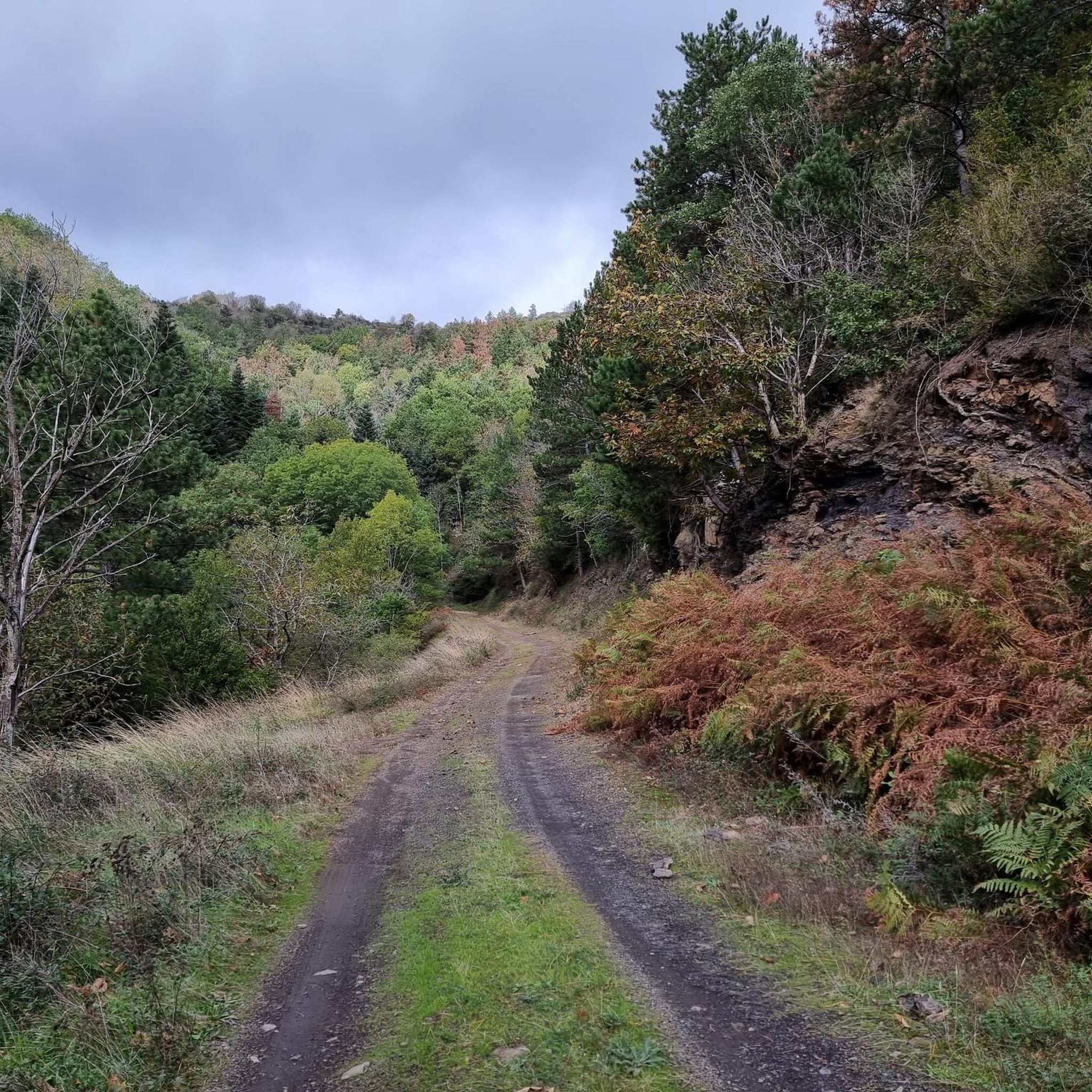
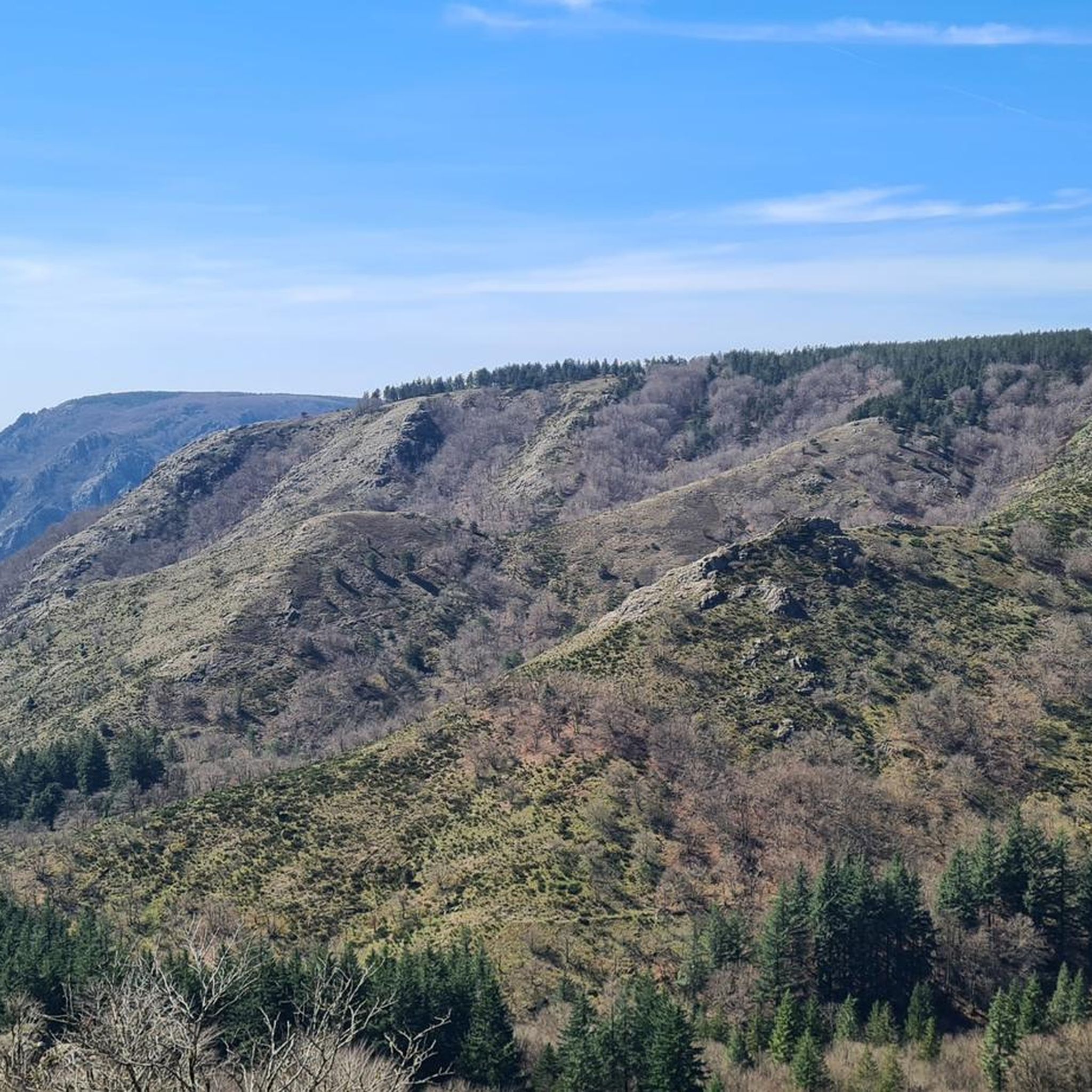
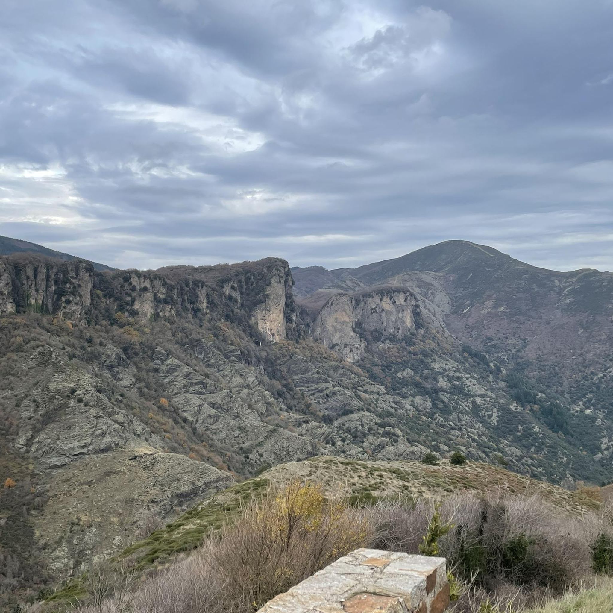
Tips from the Community


An incredible spot that looks like it was built by human hands.
0
0

Great enduro-style ride with plenty of swimming spots. Beginners should refrain.
0
0


From the car park, take the road on the left towards Douch, until you reach the square bordering the village. Go up on the left by the path between the ash trees, for 50 m.
0
1

@VavaWum If you ask for water and say "Of course I'd like to pay for it like you would your lemonade" - you'll probably get it for free...
1
0

Pretty hamlet whose stone houses with lauze roofing are typical of the region.
1
0

You arrive here in the small village of Plaisance. A providential name that perfectly expresses the feeling one feels when arriving. The small stone bridge that spans the Bouissou river, its green environment make it an ideal spot to stop and take a break.
1
0
Frequently Asked Questions
How many running routes can I find around Arnac-sur-Dourdou?
There are 13 running routes available around Arnac-sur-Dourdou. These routes offer a variety of experiences, from challenging trails through hilly terrain to scenic paths along the Dourdou Valley.
Are there any easy or beginner-friendly jogging routes in Arnac-sur-Dourdou?
The routes around Arnac-sur-Dourdou are generally quite challenging, with 11 out of 13 routes rated as difficult and 2 as moderate. There are currently no easy routes listed, so runners should be prepared for significant elevation changes and varied terrain.
What kind of terrain can I expect on the running trails in this region?
The terrain around Arnac-sur-Dourdou is characterized by the green Dourdou Valley, extensive forests covering about 90% of the commune, and varied hilly landscapes, including parts of the Monts de Lacaune. You'll encounter challenging ascents and descents, often on shaded forest paths.
Are there any running routes that offer great views or pass by interesting natural landmarks?
Yes, many routes offer splendid views. For instance, the area features the Roquandouire Arch, a notable natural monument. The region also boasts several mountain passes like L'Espinouse Pass (1,124 m) and Col de la Croix de Mounis, which provide expansive vistas. The "La Route des Crêtes" is known for its panoramic views of the Merdelou peak and the Larzac foothills.
What do other runners say about the jogging routes in Arnac-sur-Dourdou?
The running routes in Arnac-sur-Dourdou are highly rated by the komoot community, with an average score of 4.0 stars from over 2 reviews. More than 150 runners have used komoot to explore the varied terrain, often praising the challenging nature and the immersive natural scenery.
Are there any long-distance or challenging running trails available?
Absolutely. For a challenging long-distance run, consider Le Balcon des Cévennes – boucle trail au départ de Mélagues – Parc naturel régional des Grands Causses. This difficult 20.7 km (12.9 miles) trail features significant elevation changes within the Grands Causses Regional Natural Park, taking about 2 hours 34 minutes to complete.
Can I find circular running routes in the area?
Yes, many of the running routes are circular. For example, the Roquandouire Arch loop from Saint-Geniès-de-Varensal is a difficult 11.1 km (6.9 miles) path with over 560 meters of elevation gain, offering varied terrain in a loop format.
Are there any running routes suitable for families or those looking for a less strenuous experience?
While most routes are rated difficult, the general rural nature of Arnac-sur-Dourdou includes quiet departmental roads and historical paths that can offer peaceful jogging. The "Vallée de Serviès" is noted for its pleasant, tree-lined road with good surfaces, which might be a refreshing option, though specific family-friendly marked trails are not highlighted in the difficult routes.
What is the best season for jogging in Arnac-sur-Dourdou?
The extensive forests in Arnac-sur-Dourdou provide shaded paths, making it pleasant even on hot days. The region's natural beauty is vibrant throughout spring and summer. Autumn offers beautiful foliage, while winter running would depend on local weather conditions and trail accessibility, as the area is characterized by hills.
Where can I find parking for the running trails?
Specific parking details for each trailhead are best found on the individual route pages. However, given the rural nature of Arnac-sur-Dourdou, parking is generally available near trailheads or in the small villages that serve as starting points for many routes.
Are there any other challenging running options besides the most popular ones?
Certainly. The Croix de Marcou – Aven du Mont Marcou n°2 loop from Saint-Geniès-de-Varensal is another difficult 11.3 km (7.0 miles) trail that leads through hilly, forested landscapes, often completed in about 1 hour 59 minutes. It's a great option for those seeking a strenuous jog.
What are some of the natural features that make Arnac-sur-Dourdou unique for running?
Arnac-sur-Dourdou is unique due to its location in the beautiful Dourdou Valley, its extensive forests (covering 90% of the commune), and its varied hilly terrain, including parts of the Monts de Lacaune. Areas like Plo de Canac and Puech de Canac are designated ZNIEFF (Zones Naturelles d'Intérêt Écologique, Faunistique et Floristique), indicating well-preserved natural environments ideal for immersive running.
Most popular routes around Arnac-Sur-Dourdou
Most popular attractions around Arnac-Sur-Dourdou

Get inspired with the komoot mobile app


Explore more
Browse the best Running Trails & Routes in other regions.
