The best walks and hikes around Abjat-Sur-Bandiat
4.5
(340)
1,442
hikers
88
hikes
Hiking around Abjat-Sur-Bandiat offers routes through the rural landscape of the Périgord Limousin Regional Natural Park. The area is characterized by rolling hills, woodlands, and agricultural land, with gentle elevation changes. Trails often pass by local farms and historical sites, providing a mix of natural scenery and cultural points of interest. The region's terrain is suitable for various hiking abilities, from leisurely walks to more extended excursions.
Best hiking trails around Abjat-Sur-Bandiat
- The most popular hiking route is Hiking loop from Abjat-sur-Bandiat, a 2.2 miles (3.5 km) trail that takes 1 hour 1 minute to complete. This moderate route explores the immediate surroundings of Abjat-sur-Bandiat.
- Another top favourite among local hikers is Picnic – Limousines cows loop from Manzac Ferme, an easy 4.4 miles (7.1 km) path. This route features open countryside and views of local livestock, taking approximately 1 hour 56 minutes.
- Local hikers also love the Château de la Rochebeaucourt – Ballerand Castle loop from Périgord Limousin Regional Natural Park, a 3.8 miles (6.2 km) trail leading through varied terrain including historical sites, often completed in about 1 hour 39 minutes.
- Hiking around Abjat-Sur-Bandiat is defined by rolling hills, dense woodlands, and agricultural fields. The network offers options for easy, moderate, and challenging routes, catering to different ability levels.
- The routes in Abjat-Sur-Bandiat are highly rated by the komoot community with an average score of 4.5 stars from over 300 reviews. More than 1,300 hikers have used komoot to explore Abjat-Sur-Bandiat's varied terrain.
Last updated: July 2, 2026
5.0
(3)
25
hikers
3.52km
01:01
70m
70m
Moderate hike. Great for any fitness level. Mostly accessible paths. Sure-footedness required.
4.3
(3)
10
hikers
7.09km
01:56
110m
110m
Easy hike. Great for any fitness level. Easily-accessible paths. Suitable for all skill levels.

Sign up for free
4.3
(4)
7
hikers
Moderate hike. Great for any fitness level. Mostly accessible paths. Sure-footedness required.
4.5
(2)
7
hikers
12.6km
03:29
210m
210m
Moderate hike. Good fitness required. Mostly accessible paths. Sure-footedness required.
4.0
(1)
5
hikers
9.60km
02:43
140m
140m
Moderate hike. Good fitness required. Mostly accessible paths. Sure-footedness required.
Get access to more routes and recommendations from other explorers.
Sign up for free
Already have an account?
Our route recommendations are based on thousands of hikes, rides, and runs completed by other people on komoot.
Start today with a free account
Your next adventure awaits.
Login or Signup


Tips from the Community

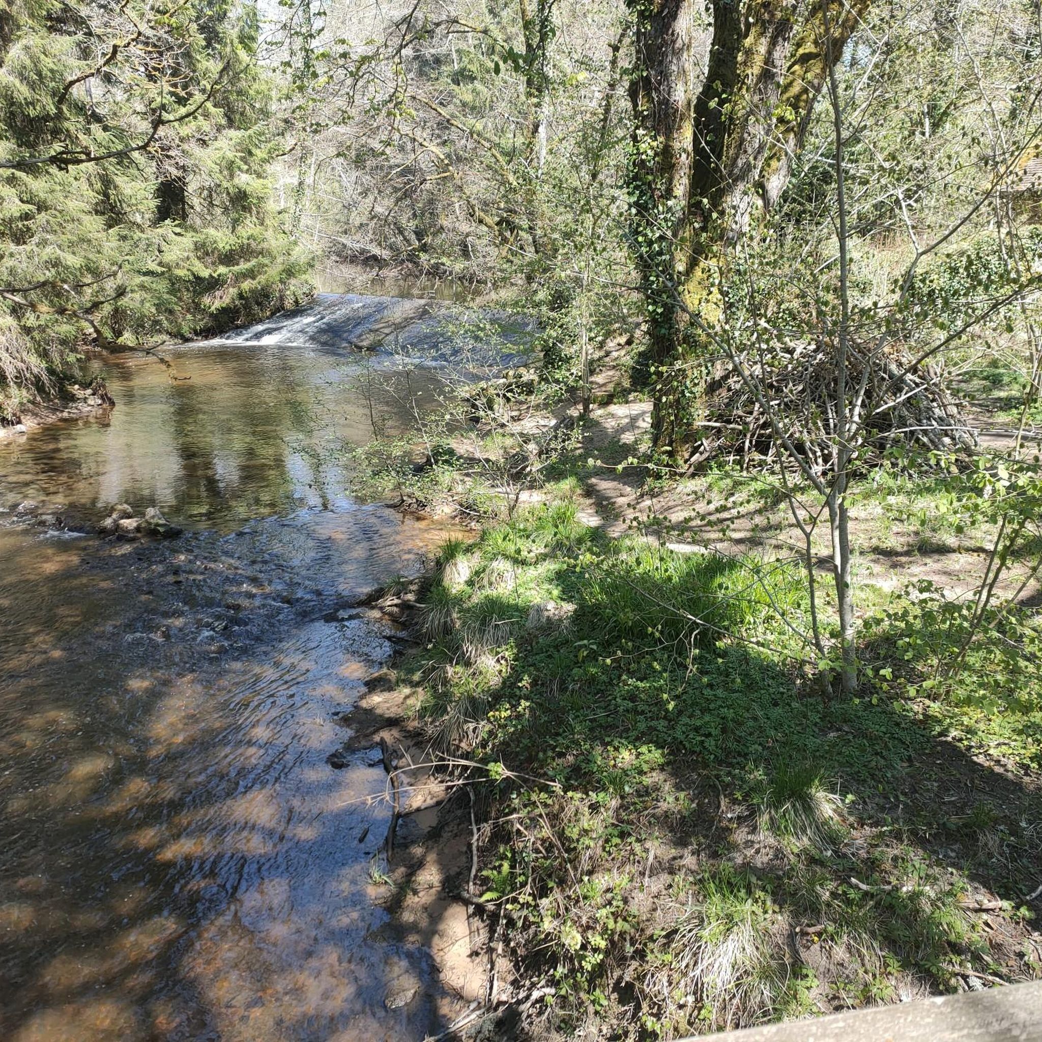
great route through the countryside and the forest.
1
0

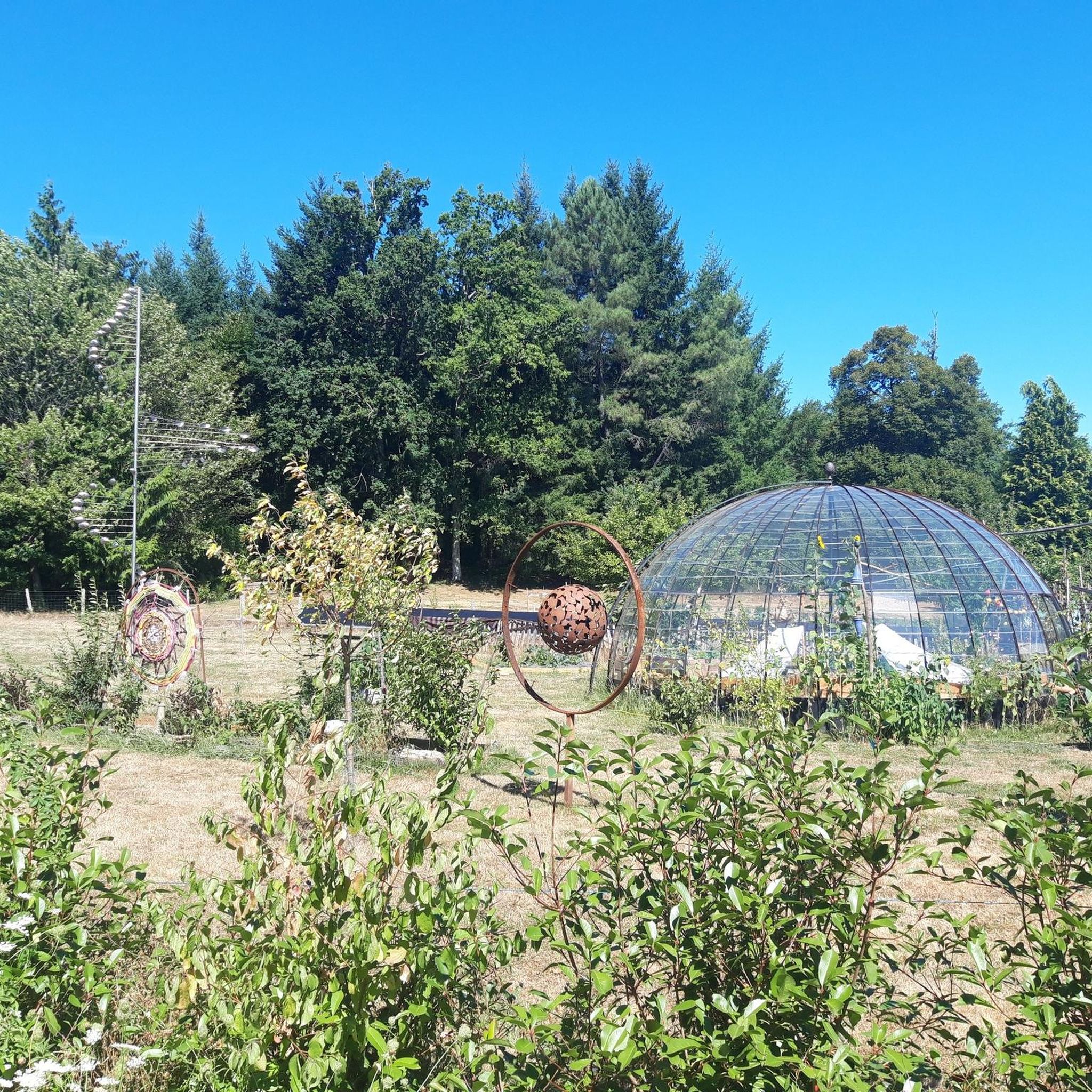
The pentagram (star) represents the human figure
0
0
Frequently Asked Questions
How many hiking trails are available around Abjat-Sur-Bandiat?
There are over 90 hiking trails around Abjat-Sur-Bandiat, offering a wide range of options for different skill levels and preferences. The region provides a diverse network of paths through its rural landscape.
Are there easy hiking trails suitable for beginners or families?
Yes, Abjat-Sur-Bandiat offers a good selection of easy trails. Approximately 24 routes are classified as easy, perfect for beginners or families looking for a relaxed walk. An example is the Picnic – Limousines cows loop from Manzac Ferme, an easy 4.4-mile (7.1 km) path through open countryside.
What kind of terrain can I expect on hikes in Abjat-Sur-Bandiat?
The terrain around Abjat-Sur-Bandiat is characterized by rolling hills, dense woodlands, and agricultural fields within the Périgord Limousin Regional Natural Park. You can expect gentle elevation changes, making most trails accessible, with paths often passing by local farms and historical sites.
Are there any circular hiking routes in the area?
Yes, many of the trails around Abjat-Sur-Bandiat are circular, allowing you to start and end at the same point. For instance, the Picnic – Limousines cows loop from Savignac-de-Nontron is a popular moderate circular route.
Can I find trails with interesting natural attractions like waterfalls or viewpoints?
While the region is known for its rural charm, you can find natural attractions nearby. The Saut du Chalard Waterfall on the Dronne is a notable natural feature in the vicinity, offering a picturesque stop during your exploration.
What are the options for longer, more challenging hikes?
For those seeking more challenging hikes, Abjat-Sur-Bandiat has 14 routes classified as difficult. These trails typically cover longer distances and may include more significant elevation changes, providing a more strenuous experience for experienced hikers.
Is Abjat-Sur-Bandiat a good destination for dog-friendly hikes?
Given the rural nature of Abjat-Sur-Bandiat and its location within a Regional Natural Park, many trails are suitable for hiking with dogs, provided they are kept under control. The open countryside and woodland paths offer plenty of space for pets to enjoy the outdoors.
What is the best time of year to go hiking in Abjat-Sur-Bandiat?
The best time for hiking in Abjat-Sur-Bandiat is generally from spring through autumn (April to October). During these months, the weather is typically pleasant, and the natural landscape is vibrant. Summer can be warm, so early morning or late afternoon hikes are recommended.
Are there opportunities for wild swimming near the hiking trails?
While direct wild swimming spots on trails might be limited, the nearby Saint-Estèphe Pond Beach offers a designated area for swimming and relaxation, which can be a refreshing stop after a hike.
How accessible are the trailheads by public transport or car?
Abjat-Sur-Bandiat is a rural area, so public transport options to trailheads are limited. It is generally recommended to access trailheads by car, as this provides the most flexibility. Parking is usually available in villages or at designated starting points for popular routes.
What do other hikers enjoy most about the trails in Abjat-Sur-Bandiat?
The trails in Abjat-Sur-Bandiat are highly rated by the komoot community, with an average score of 4.5 stars from over 300 reviews. Hikers often praise the peaceful rural atmosphere, the well-maintained paths, and the charming mix of natural scenery and cultural points of interest.
Are there any historical sites or landmarks to explore while hiking?
Yes, the region is dotted with historical sites. For example, the Château de la Rochebeaucourt – Ballerand Castle loop from Périgord Limousin Regional Natural Park takes you past historical castles. Additionally, the The Rocking Stone is a unique natural monument with local historical significance.
Can I find less crowded hiking trails for a more peaceful experience?
Abjat-Sur-Bandiat is generally a less crowded hiking destination compared to more famous regions. With over 90 trails available, it's easy to find quieter paths, especially on weekdays or by exploring some of the less-trafficked routes, ensuring a peaceful experience amidst nature.
Most popular routes around Abjat-Sur-Bandiat
Most popular attractions around Abjat-Sur-Bandiat

Get inspired with the komoot mobile app


Explore more
Browse the best Hikes in other regions.
