The best running trails around Champs-Romain
4.3
(17)
299
runners
10
runs
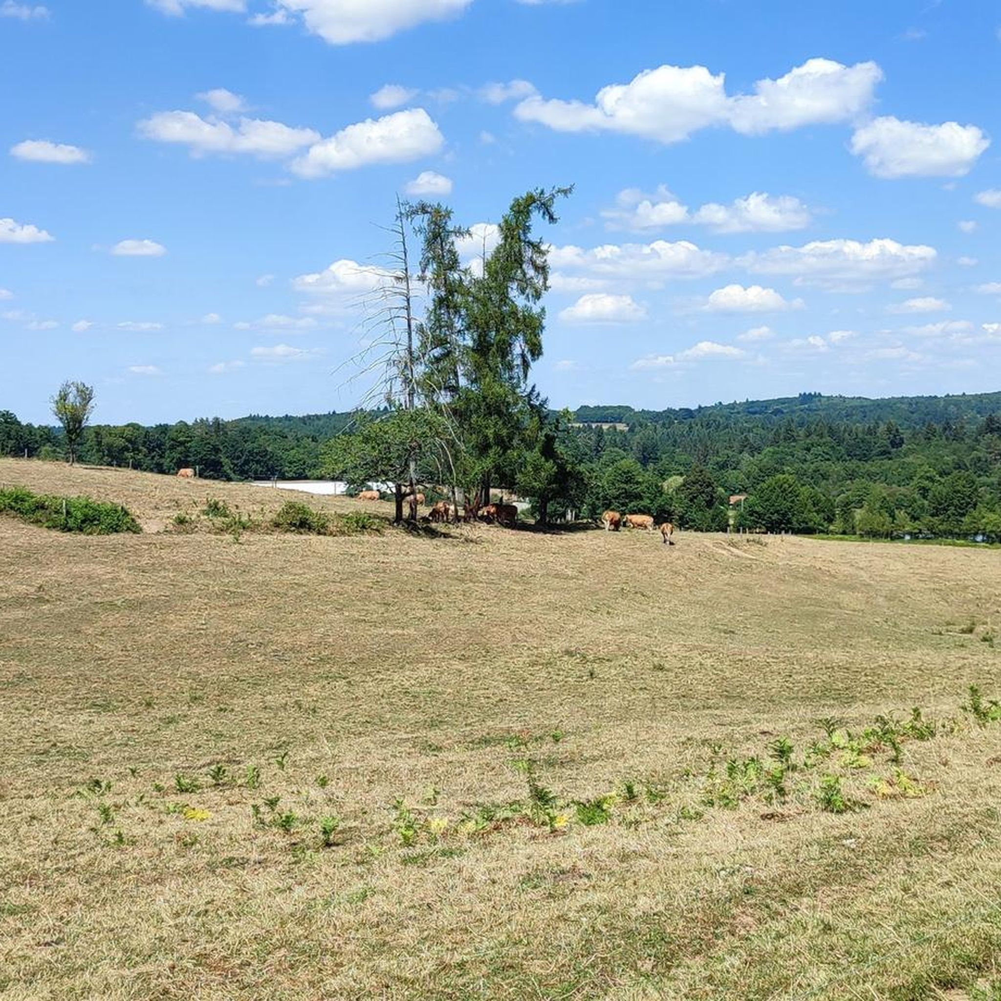
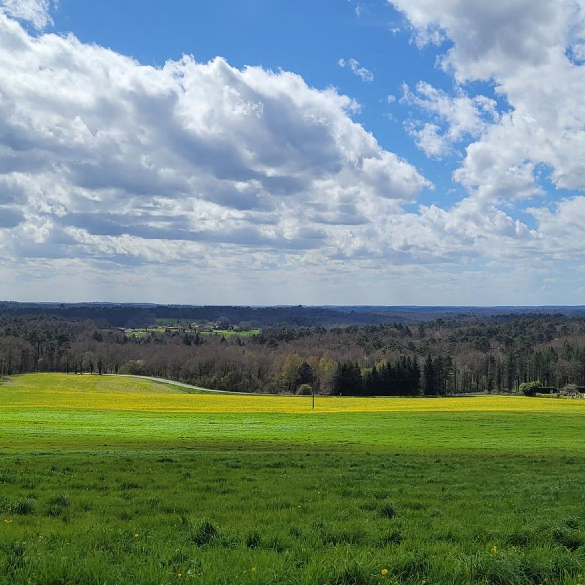
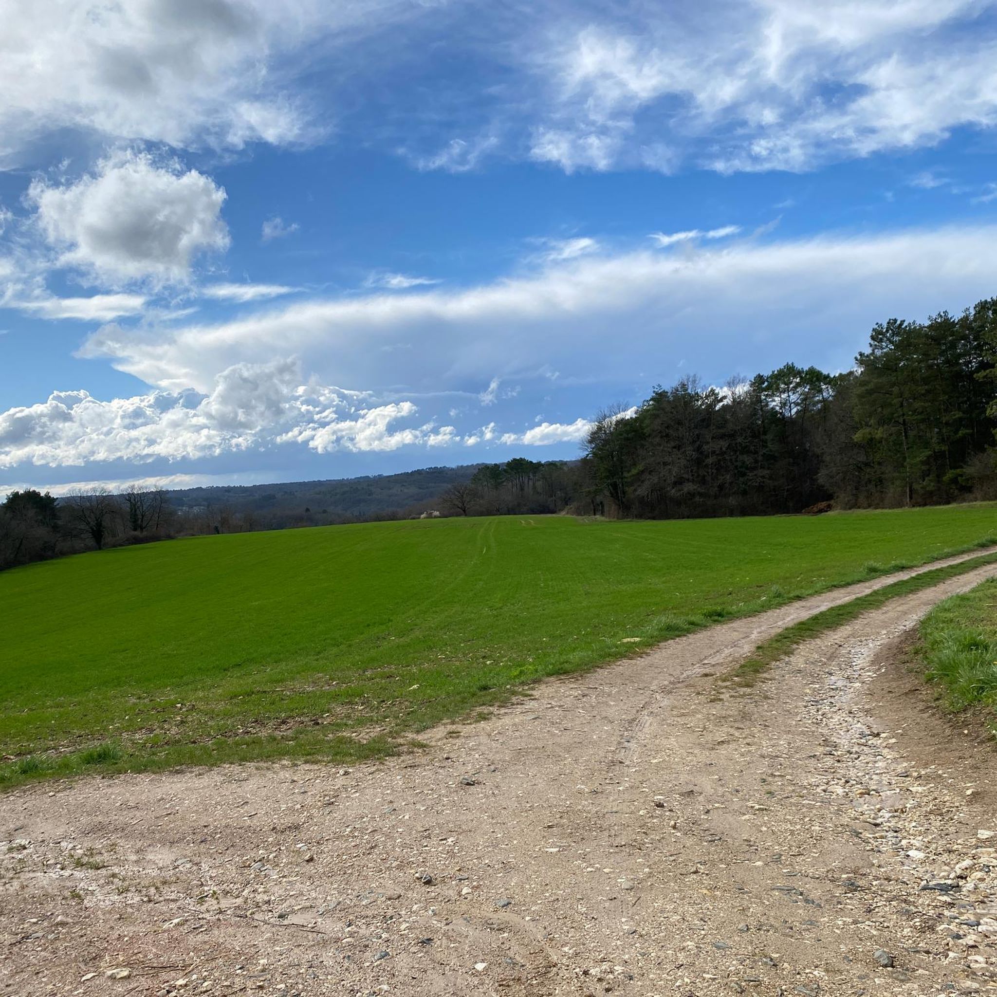
Jogging routes around Champs-Romain traverse a landscape characterized by lush green hills, winding valleys, and extensive forests, typical of France's Périgord region. The Dronne River, known for its serene waters, borders the area and offers tranquil running paths. This region is part of the Périgord-Limousin Regional Natural Park, ensuring a well-preserved natural environment for outdoor activities. The terrain includes varied paths, from gentle riverside trails to routes with moderate elevation changes through wooded areas.
Best jogging routes around Champs-Romain
- The…
Last updated: June 29, 2026
5.0
(1)
8
runners
11.1km
01:10
110m
110m
Hard run. Good fitness required. Sure-footedness, sturdy shoes and alpine experience required.
3.0
(2)
8
runners
6.71km
00:42
50m
50m
Moderate run. Good fitness required. Mostly paved surfaces. Suitable for all skill levels.

Sign up for free
5
runners
4.38km
00:27
40m
40m
Easy run. Great for any fitness level. Mostly paved surfaces. Suitable for all skill levels.
3
runners
13.7km
01:27
130m
130m
Moderate run. Good fitness required. Mostly paved surfaces. Suitable for all skill levels.
3
runners
13.5km
01:28
150m
150m
Hard run. Good fitness required. Sure-footedness, sturdy shoes and alpine experience required.
Get access to more routes and recommendations from other explorers.
Sign up for free
Already have an account?
Our route recommendations are based on thousands of hikes, rides, and runs completed by other people on komoot.
Start today with a free account
Your next adventure awaits.
Login or Signup


Tips from the Community

Great tiny lake perfect for walking /running / kayaking with facilities
0
0
Frequently Asked Questions
How many running routes are available around Champs-Romain?
There are over 10 dedicated running routes around Champs-Romain, offering a variety of experiences for different fitness levels. These routes are highly rated by the komoot community, with an average score of 4.4 stars.
What kind of difficulty levels can I expect from the jogging trails in Champs-Romain?
The trails range from easy to difficult. You'll find 2 easy routes, 6 moderate routes, and 2 challenging routes, ensuring options for all abilities. For example, the Running loop from Le Terme is an easy 4.4 km trail, while the Le Terme de la Motte loop from Saint-Saud-Lacoussière is a more difficult 11.1 km option.
Are there any running routes that offer panoramic views of the region?
Yes, many trails around Champs-Romain provide magnificent views of the surrounding hills and countryside. The region's characteristic lush green hills and winding valleys, especially routes like the 'Boucle des Coteaux' mentioned in regional research, are known for their scenic vistas.
Can I find running routes that are suitable for families or beginners?
Absolutely. Champs-Romain offers easy, accessible paths suitable for all fitness levels, including families and beginners. The Running loop from Le Terme is an easy 4.4 km trail that leads through wooded areas and open fields, perfect for a gentle run.
Are there any dog-friendly running trails in Champs-Romain?
While specific dog-friendly designations aren't listed for every route, the extensive network of hiking trails in the Périgord-Limousin Regional Natural Park generally welcomes dogs, especially on leash. The shaded forest paths and riverside trails along the Dronne are often ideal for running with your canine companion.
Are there any circular running routes available?
Yes, many of the running routes around Champs-Romain are circular, allowing you to start and end at the same point. Examples include the popular Running loop from Saint-Saud-Lacoussière and the Grand Etang Lake loop from Saint-Saud-Lacoussière.
What natural attractions or landmarks can I see along the running routes?
You can discover several natural attractions while running. The Saut du Chalard Waterfall on the Dronne is a charming highlight, with paths winding through dense forest. You might also encounter the The Rocking Stone or enjoy the serene communal lake.
Are there any running routes near water features like rivers or lakes?
Yes, the Dronne River, considered one of France's most beautiful, borders Champs-Romain, offering serene routes alongside its secluded waters. Additionally, the Grand Etang Lake loop from Saint-Saud-Lacoussière provides a peaceful run around a communal lake.
What is the longest running route available in the area?
The longest route listed is the Grand Etang Lake loop from Saint-Saud-Lacoussière, which covers 13.7 km and features moderate difficulty with some elevation changes.
What makes running in Champs-Romain unique?
Running in Champs-Romain is unique due to its diverse landscape within the Périgord-Limousin Regional Natural Park. You'll experience lush forests, winding river paths along the Dronne, rolling hills with panoramic views, and varied terrain that ranges from easy, flat paths to more challenging trails with elevation.
Are there shaded trails suitable for running during warmer months?
Yes, Champs-Romain is characterized by its lush forests and preserved wooded areas, offering plenty of shaded trails. These are particularly pleasant for running during warmer months, providing a refreshing and authentic outdoor experience.
Can I find running routes that follow old railway lines?
Yes, some routes in the wider region utilize former railway lines, which often provide flat and smooth paths ideal for jogging. Sections of the Flow Velo cycle path near Nontron, for instance, run along an old railway line and can be incorporated into longer runs.
Most popular routes around Champs-Romain
Most popular attractions around Champs-Romain

Get inspired with the komoot mobile app


Explore more
Browse the best Running Trails & Routes in other regions.
