The best road cycling routes around Saint-Michel-Sur-Meurthe
4.2
(324)
3,373
riders
23
rides
Road cycling routes around Saint-Michel-Sur-Meurthe are situated in the Vosges department of France, characterized by the Meurthe river valley and rolling hills. The terrain offers a mix of flat sections along the river and more challenging ascents into the surrounding landscape. Elevations in the area range from 301 to 658 meters, providing varied gradients for road cyclists. This region is part of the Grand Est, featuring diverse topography suitable for different cycling preferences.
Best road cycling routes around Saint-Michel-Sur-Meurthe
- The…
Last updated: August 28, 2026
4.6
(15)
157
riders
78.4km
03:40
780m
780m
Moderate road ride. Good fitness required. Some segments of this route may be unpaved and difficult to ride.
2.9
(14)
81
riders
58.5km
02:37
610m
610m
Moderate road ride. Good fitness required. Mostly well-paved surfaces and easy to ride.

Sign up for free
4.6
(5)
45
riders
Moderate road ride. Good fitness required. Mostly well-paved surfaces and easy to ride.
3.5
(4)
31
riders
47.0km
02:04
430m
430m
Moderate road ride. Good fitness required. Mostly well-paved surfaces and easy to ride.
31
riders
32.0km
01:28
310m
320m
Moderate road ride. Good fitness required. Mostly well-paved surfaces and easy to ride.
Get access to more routes and recommendations from other explorers.
Sign up for free
Already have an account?
Our route recommendations are based on thousands of hikes, rides, and runs completed by other people on komoot.
Start today with a free account
Your next adventure awaits.
Login or Signup
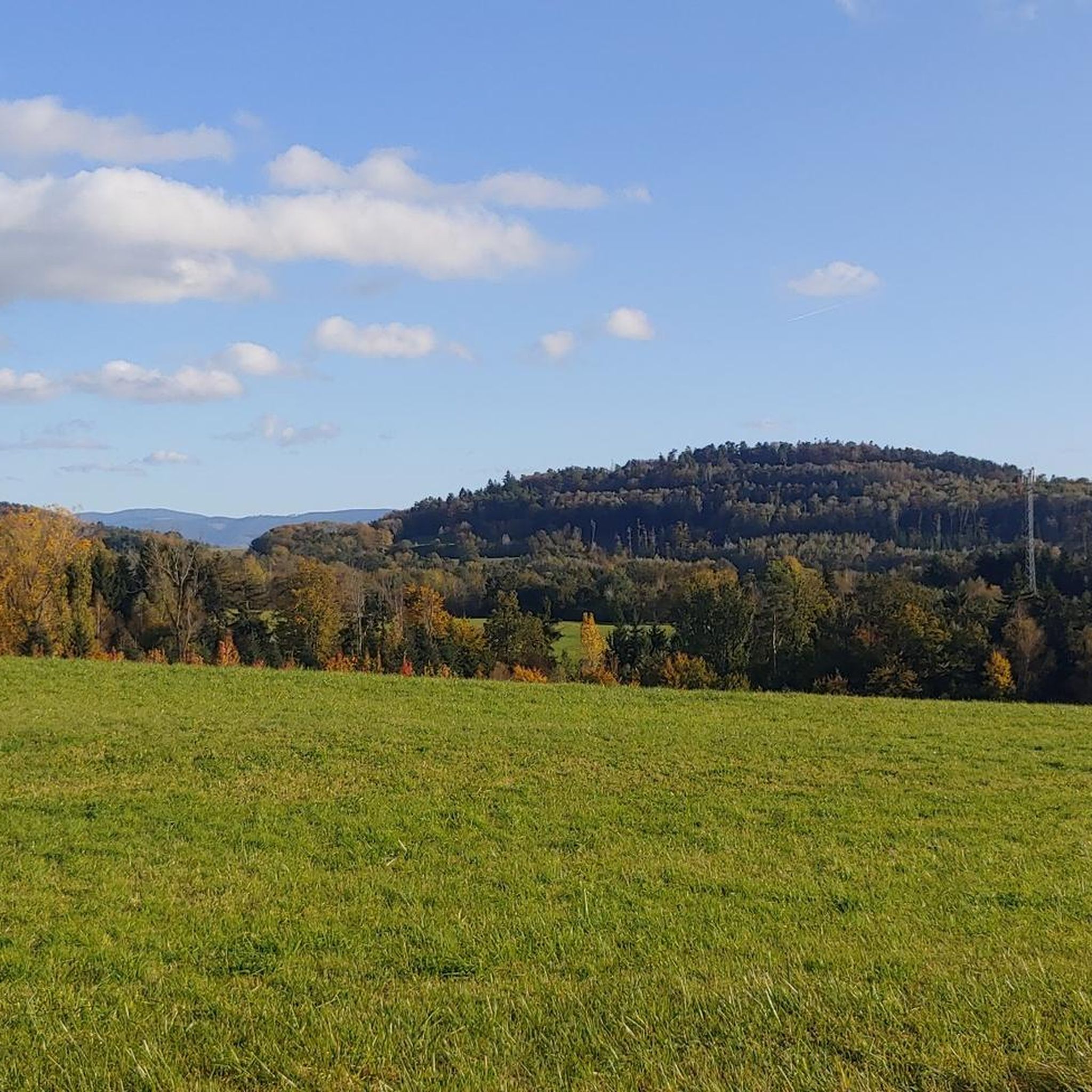
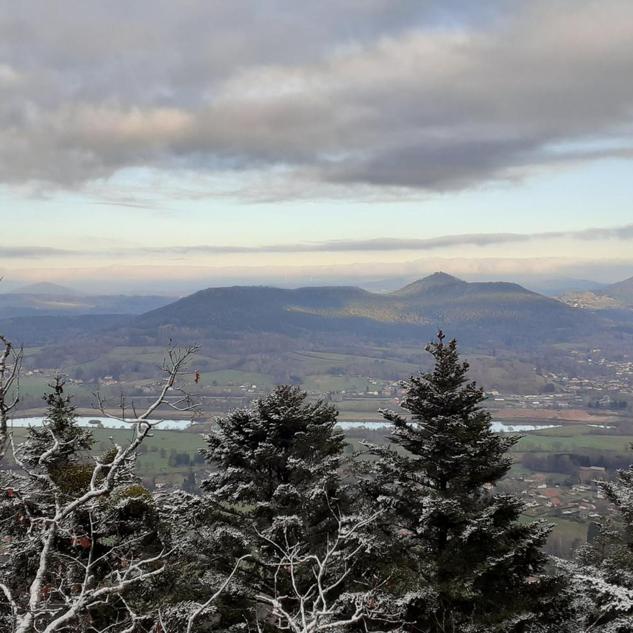
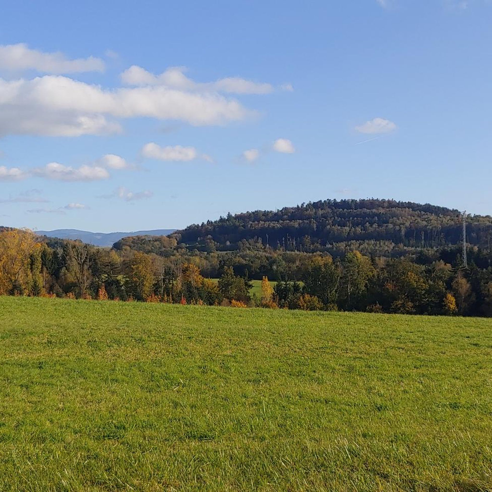
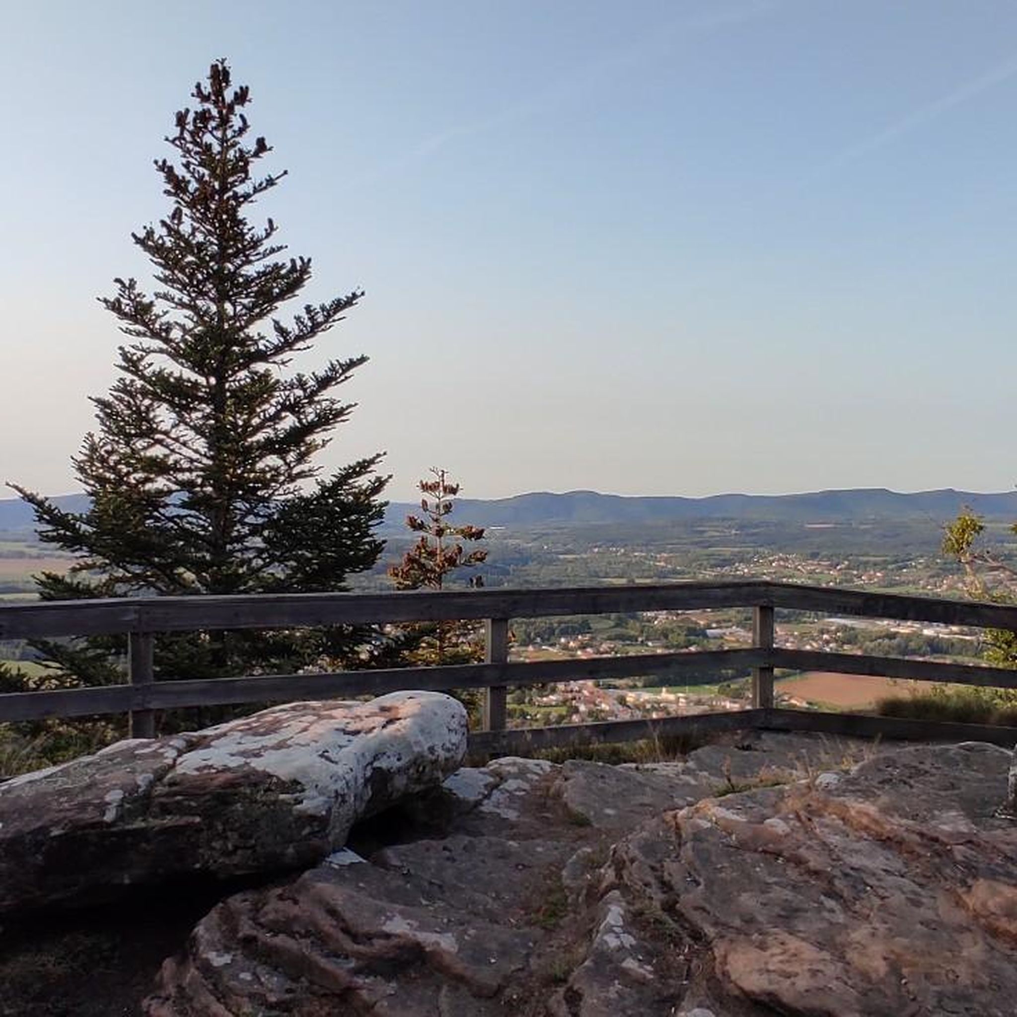

Tips from the Community

Beautiful forest road, little traffic on weekends.
0
0

It is located on the left bank of the Meurthe, at number 14 rue Denfert-Rochereau. The Saint-Georges church is the church of La Neuveville-lès-Raon, which merged with Raon-l'Etape in 1947. It was built between 1835 and 1838 according to the plans of the district architect Boucher de Saint-Dié. The church was fitted out in 1894. In 1905 the dome was rebuilt. From 1973 to 1978, major restoration work was carried out, both interior and exterior. Inside, among other things, there is an old statue of Our Lady of Sorrows, a painting of Saint Nicholas, who is also the patron saint of wood-floaters, a painted wooden Christ, and a memorial chapel (1922).
0
0

yes up there you have a good view
2
0

The Meurthe is the 3rd largest tributary of the Moselle, after the Saar and the Sauer. Its source is near the Col de la Schlucht, in the municipality of Le Valentin. After approx. 20 km, the Meurthe reaches Saint-Dié-des-Vosges. After 160 km, it flows into the Moselle north of Nancy.
0
0

Beautiful hiking destination, there is also a cycling route
0
0

A long and beautiful forest road. However, it's bumpy in places on a road bike!
0
0

Beautiful climb and lovely view at the pass - Altitude 728m Restaurants (inns) at the pass
0
0

La Petite-Fosse – Front village with memory This small village in the Vosges (altitude: 440–870 m) has barely 80 inhabitants, but played a prominent role during the First World War. The western front line ran right through the village, with heavy fighting around the nearby Spitzenberg. For its courageous resistance, La Petite-Fosse was awarded the Croix de Guerre in 1920. Today it is a peaceful place with a view of the surrounding mountains.
4
0
Frequently Asked Questions
How many road cycling routes are available around Saint-Michel-Sur-Meurthe?
There are 18 road cycling routes around Saint-Michel-Sur-Meurthe, offering a variety of experiences for different skill levels.
What is the typical elevation profile for road cycling routes in this region?
The region features varied terrain, with elevations ranging from 301 to 658 meters. Routes often combine flat sections along the Meurthe river valley with more challenging ascents into the surrounding rolling hills and forests. For example, the Rabodeau Valley – Prayé Forest Road loop includes over 760m of elevation gain.
Are there road cycling routes suitable for beginners or families in Saint-Michel-Sur-Meurthe?
Yes, while many routes are moderate, there is 1 easy road cycling route available. The region's river valleys, like the Meurthe, offer picturesque and less strenuous sections that can be suitable for those seeking a gentler ride or cycling with family.
What kind of natural features can I expect to see along the road cycling routes?
You'll encounter diverse natural beauty, including the magnificent scenery of the Meurthe River Valley, dense forests, and rolling hills. The region is known for its rich biodiversity and tranquil forest roads, such as the one between Brouvelieures and Autrey.
Are there any notable landmarks or viewpoints along the road cycling routes?
Yes, several routes offer access to interesting sites and panoramic views. You might pass by historical sites like the La Bure Celtic Camp, or enjoy stunning vistas from viewpoints such as La Roche Saint-Martin and View of Saint-Dié. The Fave Valley – Saint-Dié Cathedral loop also takes you past the impressive Saint-Dié Cathedral.
What is the best time of year for road cycling in Saint-Michel-Sur-Meurthe?
The Vosges department, where Saint-Michel-Sur-Meurthe is located, is generally ideal for cycling from spring through autumn. These seasons offer pleasant weather for conquering hills, forests, and winding mountain ridges, allowing you to enjoy the scenery at your own pace.
Are there any challenging road cycling routes for experienced cyclists?
Yes, Saint-Michel-Sur-Meurthe offers 3 difficult road cycling routes for those seeking a challenge. Routes like the Climb of Haut du Bois – Chipotte Pass loop feature significant climbs and passes, providing a demanding experience with substantial elevation gains.
Can I find circular road cycling routes in the area?
Absolutely. Many of the road cycling routes around Saint-Michel-Sur-Meurthe are designed as loops, allowing you to start and finish in the same location. Examples include the Col du Plafond – Col de Mandray loop and the Vieux-Pré Dam – Lac de la Plaine loop.
What do other road cyclists say about the routes in Saint-Michel-Sur-Meurthe?
The road cycling routes in Saint-Michel-Sur-Meurthe are highly rated by the komoot community, with an average score of 4.1 stars from over 200 reviews. Cyclists often praise the varied terrain, the beautiful river valleys, and the enchanting forest roads.
Is public transport an option for accessing road cycling routes in Saint-Michel-Sur-Meurthe?
While specific public transport options directly to route starting points may vary, Saint-Michel-Sur-Meurthe is situated in the Vosges department, which has some regional transport links. It's advisable to check local bus or train schedules for connections to the village or nearby towns like Saint-Dié-des-Vosges, which could serve as a starting point for some loops.
Are there any specific parking facilities for cyclists in Saint-Michel-Sur-Meurthe?
While dedicated cyclist-specific parking isn't always highlighted, Saint-Michel-Sur-Meurthe, as a local village, typically offers general public parking areas. It's recommended to look for parking near the village center or close to the start of your chosen route, ensuring it's a safe and convenient spot for leaving your vehicle.
Most popular routes around Saint-Michel-Sur-Meurthe
Most popular attractions around Saint-Michel-Sur-Meurthe

Get inspired with the komoot mobile app


Explore more
Browse the best Road cycling routes in other regions.
