The best road cycling routes around Saint-Benoît-La-Chipotte
4.5
(138)
2,117
riders
207
rides
Road cycling around Saint-Benoît-La-Chipotte offers diverse landscapes within the Vosges department of northeastern France. The region features abundant forests and picturesque valleys, providing a scenic backdrop for road cycling routes. Cyclists encounter varied terrains, including the Massif de la Côte de Répy and undulating sections with ascents towards points like the Col de la Chipotte. The area's natural features contribute to a tranquil and engaging cycling experience.
Best road cycling routes around Saint-Benoît-La-Chipotte
- The most popular road cycling route is…
Last updated: July 5, 2026
4.7
(3)
43
riders
54.8km
02:29
530m
530m
Moderate road ride. Good fitness required. Mostly well-paved surfaces and easy to ride.
5.0
(4)
23
riders
65.6km
03:01
630m
630m
Moderate road ride. Good fitness required. Mostly well-paved surfaces and easy to ride.

Sign up for free
4.3
(3)
9
riders
30.7km
01:32
260m
260m
Easy road ride. Great for any fitness level. Mostly well-paved surfaces and easy to ride.
10
riders
48.8km
02:06
420m
420m
Moderate road ride. Good fitness required. Mostly well-paved surfaces and easy to ride.
6
riders
30.8km
01:25
320m
320m
Moderate road ride. Good fitness required. Mostly well-paved surfaces and easy to ride.
Get access to more routes and recommendations from other explorers.
Sign up for free
Already have an account?
Our route recommendations are based on thousands of hikes, rides, and runs completed by other people on komoot.
Start today with a free account
Your next adventure awaits.
Login or Signup


Tips from the Community

Beautiful road in the middle of the forest. Quite little traffic on the weekend.
0
0

It is located on the left bank of the Meurthe, at number 14 rue Denfert-Rochereau. The Saint-Georges church is the church of La Neuveville-lès-Raon, which merged with Raon-l'Etape in 1947. It was built between 1835 and 1838 according to the plans of the district architect Boucher de Saint-Dié. The church was fitted out in 1894. In 1905 the dome was rebuilt. From 1973 to 1978, major restoration work was carried out, both interior and exterior. Inside, among other things, there is an old statue of Our Lady of Sorrows, a painting of Saint Nicholas, who is also the patron saint of wood-floaters, a painted wooden Christ, and a memorial chapel (1922).
0
0

yes up there you have a good view
2
0

The Meurthe is the 3rd largest tributary of the Moselle, after the Saar and the Sauer. Its source is near the Col de la Schlucht, in the municipality of Le Valentin. After approx. 20 km, the Meurthe reaches Saint-Dié-des-Vosges. After 160 km, it flows into the Moselle north of Nancy.
0
0

Nestled in a verdant valley, Saint-Dié-des-Vosges is a charming Vosges town with a rich historical and cultural heritage. Blending conviviality, culture, history, and nature, it appeals to both heritage enthusiasts and lovers of wide-open spaces.
1
0

Very quiet and pleasant but watch out for huge holes (August 2024)
1
0

Few cars, road surface reasonable
1
0
Frequently Asked Questions
How many road cycling routes are available around Saint-Benoît-La-Chipotte?
There are over 200 road cycling routes in the Saint-Benoît-La-Chipotte area, offering a wide range of options for cyclists of all levels.
What are the different difficulty levels for road cycling in this region?
The region offers a diverse range of routes. You'll find approximately 38 easy routes, 127 moderate routes, and 35 difficult routes, ensuring options for various skill levels and preferences.
What kind of landscapes can I expect to see while road cycling around Saint-Benoît-La-Chipotte?
Road cycling around Saint-Benoît-La-Chipotte takes you through abundant forests and picturesque valleys. You'll encounter varied terrains, including the scenic Massif de la Côte de Répy, and routes that wind through dense forests, often tracing rivers like the La Mortagne. The area's undulating terrain provides both leisurely rides and more challenging ascents.
Are there any historical landmarks or points of interest along the road cycling routes?
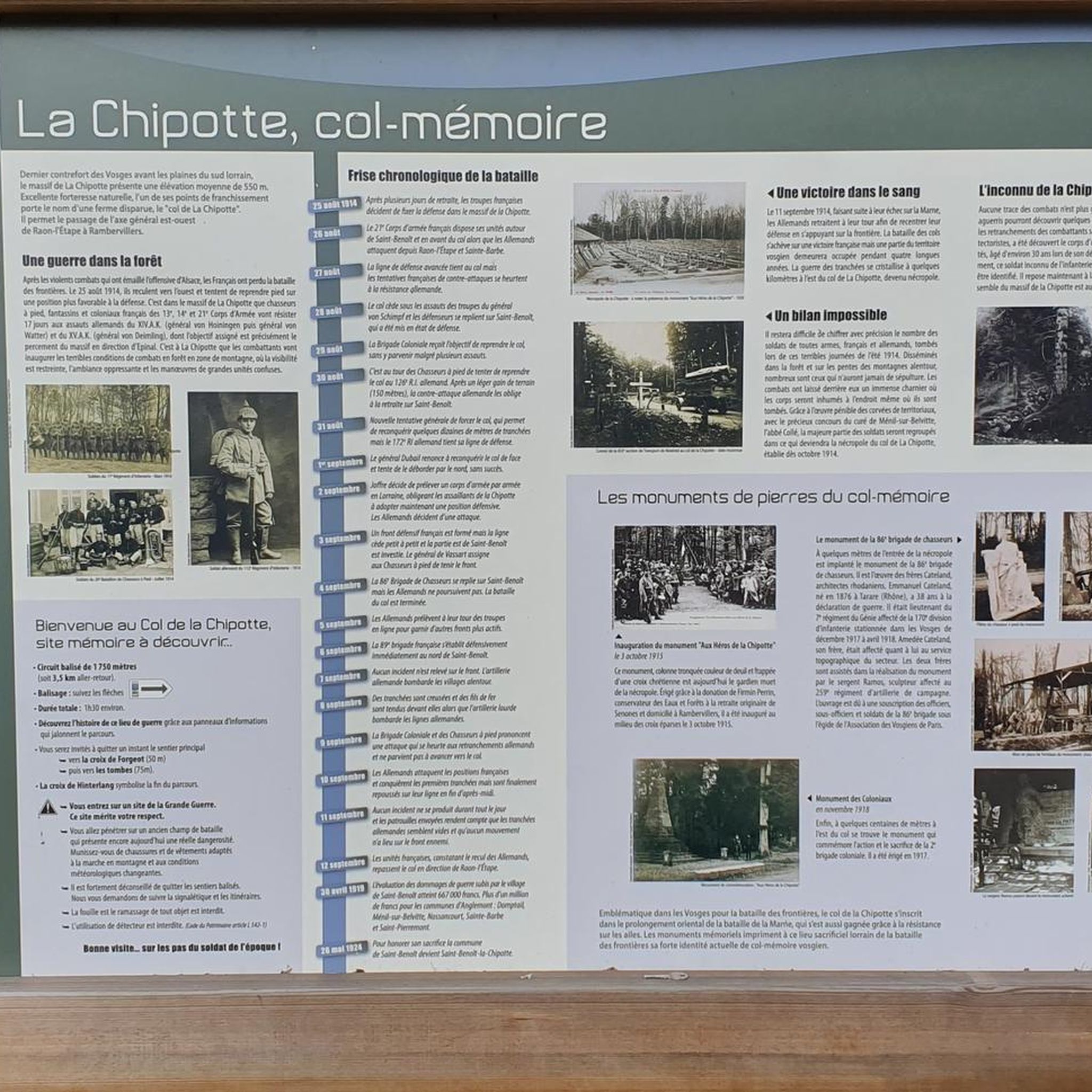
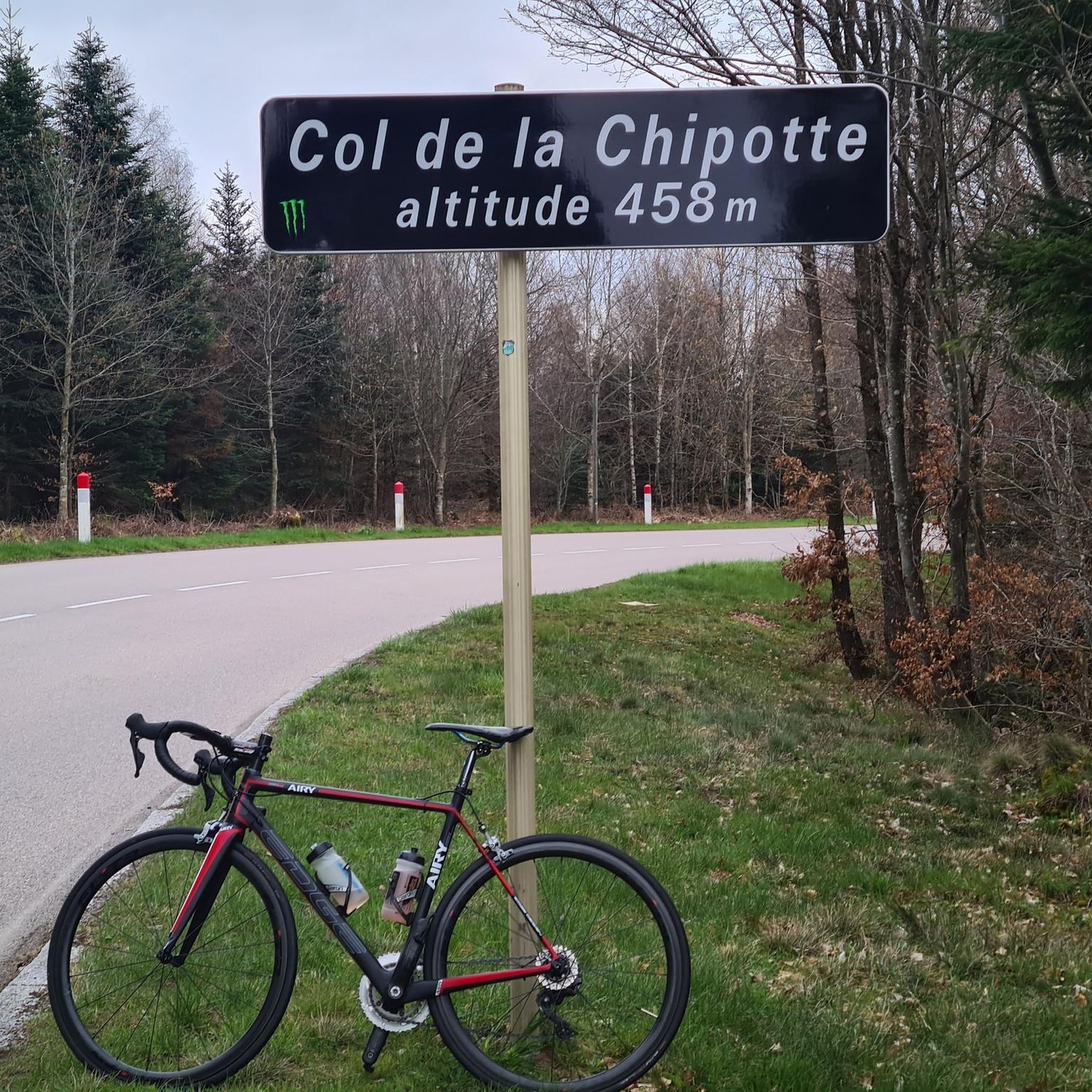
Yes, the region is rich in history. You can cycle past significant sites such as the historic Col de la Chipotte, a site of intense fighting in 1914, and the nearby Nécropole nationale du col de La Chipotte. Other points of interest include the Église Saints-Benoît-et-Étienne and the 13th-century Chapelle Saint-Jean. For panoramic views, consider routes near The Calling Stone.
What do other road cyclists enjoy most about road cycling in Saint-Benoît-La-Chipotte?
The area is highly rated by the komoot community, with an average score of 4.5 stars from over 100 reviews. Cyclists often praise the varied terrain, the scenic beauty of the forests and valleys, and the well-maintained routes that cater to different abilities.
Are there any circular road cycling routes available?
Yes, many routes in the region are designed as loops. For example, the Liberty Tower – Chipotte Pass loop from Saint-Benoît-la-Chipotte offers a moderate 48.8 km ride, while the Rambervillers Town Hall loop from Housseras is a 35.9 km option.
What is the best time of year to go road cycling in Saint-Benoît-La-Chipotte?
The region is generally pleasant for road cycling from spring through autumn. The dense forests provide shade during warmer months, and the vibrant colors of spring and fall enhance the scenic beauty. Always check local weather conditions before heading out.
Are there any family-friendly road cycling routes in the area?
While specific 'family-friendly' routes are not explicitly detailed, the presence of 38 easy routes suggests options suitable for less experienced riders or families. Look for routes with lower elevation gains and shorter distances for a more relaxed experience.
Where can I find parking for road cycling routes in Saint-Benoît-La-Chipotte?
Many routes start from villages like Housseras or Saint-Benoît-la-Chipotte itself, where you can typically find public parking. It's advisable to check the starting point of your chosen route for specific parking information.
Can I find challenging road cycling routes with significant climbs?
Absolutely. The region's undulating terrain includes ascents towards points like the Col de la Chipotte, offering more challenging climbs. Routes such as the Abbaye Notre-Dame d'Autrey – Chipotte Pass loop from Housseras, with its 781 meters of elevation gain over 68.8 km, provide a good test for experienced cyclists.
Are there any natural features or viewpoints to look out for during a ride?
Yes, the region boasts several natural highlights. Keep an eye out for the valley of the Ruisseau de Ravine, low-altitude peat bogs near the Chapelle Saint-Jean, and interesting rock formations in the forests. Elevated points like the Pierre d'Appel and the Tête de Répy offer expansive panoramic views over the surrounding landscape.
What are some of the longer road cycling routes available?
For longer rides, consider routes like the Abbaye Notre-Dame d'Autrey – Moulin Lake loop from Housseras, which covers 64.8 km with over 600 meters of elevation gain, or the Abbaye Notre-Dame d'Autrey – Chipotte Pass loop from Housseras, spanning 68.8 km.
Most popular routes around Saint-Benoît-La-Chipotte
Most popular attractions around Saint-Benoît-La-Chipotte

Get inspired with the komoot mobile app


Explore more
Browse the best Road cycling routes in other regions.
