The best walks and hikes around Bavent
4.4
(904)
8,970
hikers
296
hikes
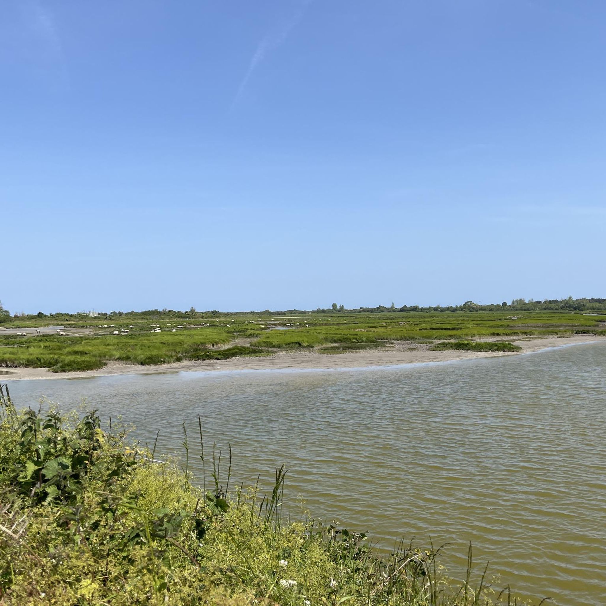
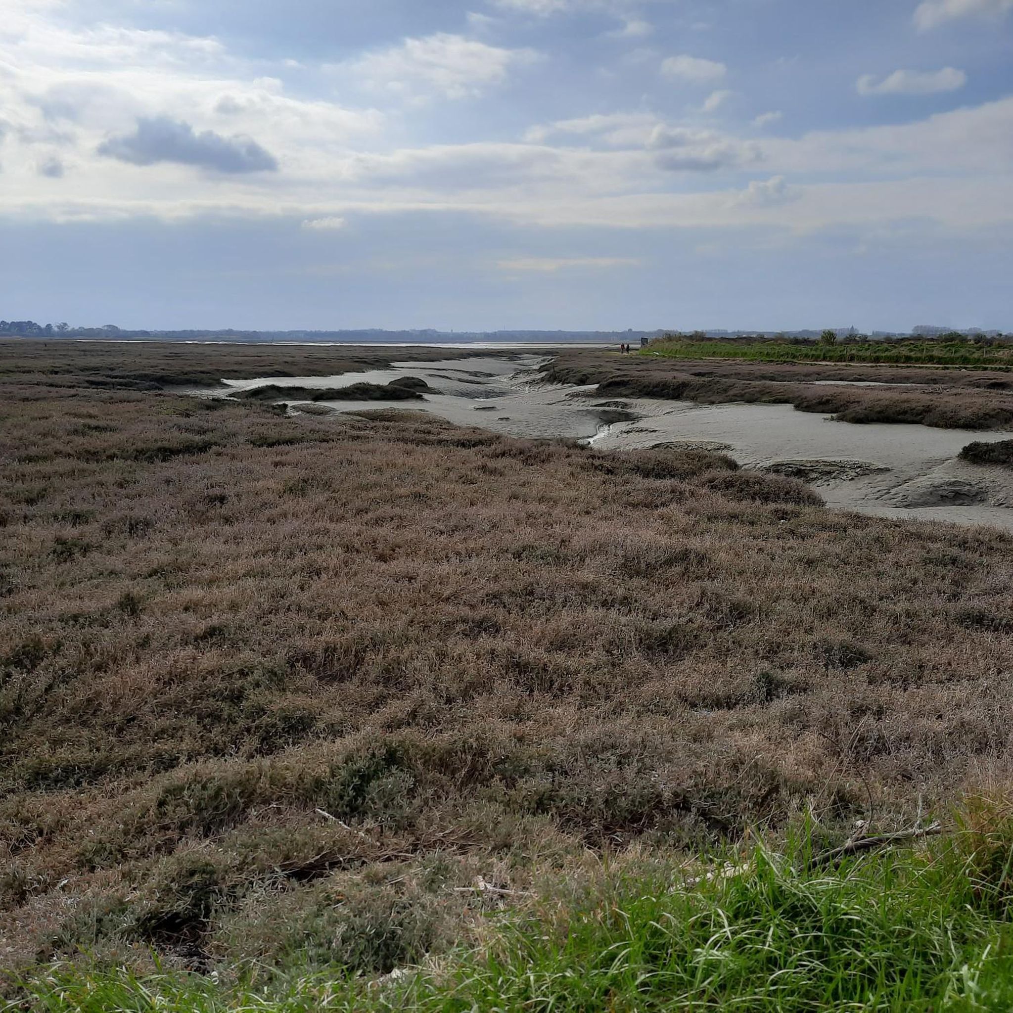
Hiking around Bavent, Normandie, offers routes through varied landscapes characterized by marshlands, rural countryside, and proximity to coastal areas. The region features generally flat to gently rolling terrain, with minimal elevation changes. Trails often traverse open fields, small woodlands like the Bois de Bavent, and follow waterways. This area provides opportunities for exploring the natural environment of the Calvados department.
Best hiking trails around Bavent
- The most popular hiking route is Robehomme Orientation Table – Marais de Robehomme loop from…
Last updated: October 12, 2026
4.5
(2)
25
hikers
Moderate hike. Good fitness required. Easily-accessible paths. Suitable for all skill levels.
3.5
(2)
13
hikers
Easy hike. Great for any fitness level. Easily-accessible paths. Suitable for all skill levels.

5.0
(1)
7
hikers
Moderate hike. Good fitness required. Easily-accessible paths. Suitable for all skill levels.
5.0
(2)
4
hikers
Moderate hike. Good fitness required. Easily-accessible paths. Suitable for all skill levels.
5.0
(1)
4
hikers
3.59km
00:56
20m
20m
Easy hike. Great for any fitness level. Easily-accessible paths. Suitable for all skill levels.
Get access to more routes and recommendations from other explorers.
Already have an account?
Our route recommendations are based on thousands of hikes, rides, and runs completed by other people on komoot.
Start today with a free account
Your next adventure awaits.

Tips from the Community

Binoculars, a camera with a telephoto lens and rubber boots are recommended here.
1
0

Historic site of the Normandy landings.
1
0

Be sure to bring rubber boots or waterproof hiking shoes. The terrain is muddy and wet.
1
0

Amazing Campspot next to tiny village. Church in the village has tap water. I had a quiet night and a good sleep
0
0

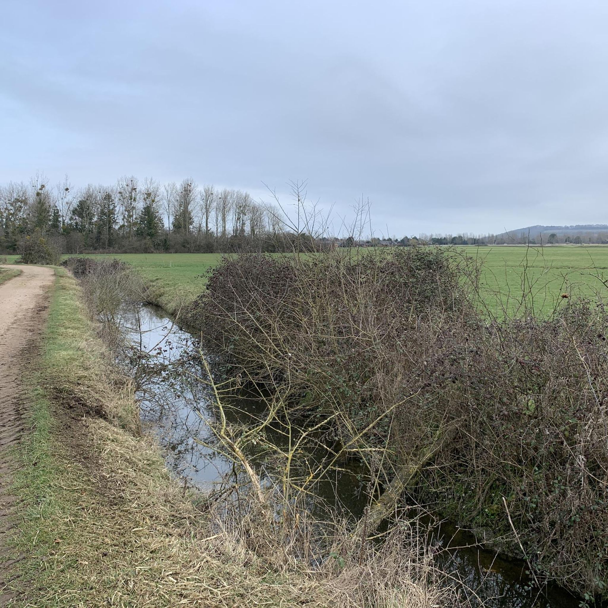
beautiful, mainly flat hike. possibility of enlarging. great for our 4-legged friends.
0
0

The Saint-Pierre Church of Bréville-les-Monts is a former Catholic church which was unfortunately destroyed during the Battle of Normandy on June 12, 1944, and whose ruins remain in the commune's cemetery. The Germans used the building as an ammunition depot. A new church was built in 1960 next to the old ruins. The original structure had a modern nave and tower, with the chancel dating from the 15th century or earlier.
2
0

Frequently Asked Questions
How many hiking trails are available around Bavent?
There are over 280 hiking routes in and around Bavent. These trails offer a variety of experiences through marshlands, rural countryside, and areas close to the coast.
Are there easy hikes suitable for beginners in Bavent?
Yes, Bavent offers many easy hiking options. With 167 routes classified as easy, there are plenty of choices for beginners or those looking for a relaxed walk. An example is the shorter Marais de Robehomme – Robehomme Orientation Table loop from Petiville, which is 2.5 miles (4.0 km) long and takes about an hour.
Are there family-friendly hiking options in Bavent?
Absolutely. The generally flat to gently rolling terrain and numerous easy routes make Bavent ideal for families. Many trails traverse open fields and small woodlands, providing accessible and enjoyable outings for all ages.
What kind of landscapes can I expect to see while hiking in Bavent?
Hiking in Bavent offers diverse scenery, primarily characterized by extensive marshlands, tranquil rural countryside, and proximity to coastal areas. You'll often find trails winding through open fields, small wooded areas like the Bois de Bavent, and alongside waterways.
Are there any circular walks in Bavent?
Yes, many of the routes in Bavent are designed as loops, allowing you to start and end at the same point. For instance, the Marais de Robehomme – Robehomme Orientation Table loop from Petiville is a popular moderate circular trail, and the Saint Peter's Church loop from Gonneville-en-Auge also offers a scenic circular experience.
Can I hike with my dog in Bavent?
Most hiking trails in the Bavent area are dog-friendly, especially those through rural landscapes and marshlands. It's always recommended to keep your dog on a leash, particularly in nature reserves or near livestock, and to check local signage for any specific restrictions.
Are there viewpoints along the hiking trails in Bavent?
Yes, the region offers several spots with good views, especially over the marshlands and coastal areas. You can find viewpoints such as the Gros Banc Observatory – Baie de l'Orne Bird Reserve or the Gros Banc Observation Tower, which provide excellent opportunities for birdwatching and enjoying the expansive scenery.
What are the typical durations for hikes around Bavent?
Hikes in Bavent vary in length and duration. You can find shorter walks like the 2.5-mile (4.0 km) Marais de Robehomme – Robehomme Orientation Table loop, which takes about an hour, up to longer routes such as the 9.2-mile (14.9 km) Marais de Robehomme – Robehomme Orientation Table loop from Petiville, typically completed in under four hours.
Are there any historical or cultural landmarks to see while hiking?
Yes, the area around Bavent is rich in history. You can encounter landmarks such as the Pegasus Bridge, a significant D-Day site, or the historic Bénouville Castle. Many trails also pass through charming villages with local churches like the one featured in the Saint Peter's Church loop from Gonneville-en-Auge.
What is the best time of year to hike in Bavent?
The best time to hike in Bavent is generally from spring through early autumn (April to October). During these months, the weather is milder, and the marshlands and countryside are vibrant. Spring brings blooming wildflowers, while autumn offers pleasant temperatures and colorful foliage. Winter hiking is possible but can be damp and muddy.
What do other hikers enjoy most about hiking in Bavent?
The komoot community highly rates the hiking experience in Bavent, with an average score of 4.4 stars from over 700 reviews. Hikers often praise the peaceful marshland scenery, the well-maintained rural paths, and the opportunity to explore the natural environment of the Calvados department away from crowded areas.
Where can I find parking for hiking trails in Bavent?
Parking is generally available in the villages and near popular trailheads around Bavent. Many routes start from small towns or designated parking areas. It's advisable to check the starting point of your chosen route on komoot for specific parking information.
Most popular attractions around Bavent

Get inspired with the komoot mobile app


Explore more
Browse the best Hikes in other regions.
