The best walks and hikes around Missiriac
4.6
(112)
886
hikers
97
hikes
Hiking around Missiriac offers access to diverse landscapes within the Morbihan department of Brittany, France. The region features serene waterways like the Nantes-Brest Canal and the River Oust, alongside accessible greenways. The terrain generally includes gentle elevations, making it suitable for various hiking experiences. Missiriac is also situated near the Lac au Duc and offers proximity to numerous forests.
Best hiking trails around Missiriac
- The most popular hiking route is Malestroit Lock – Malestroit loop from Malestroit, a 9.3…
Last updated: October 7, 2026
4.0
(1)
14
hikers
14.4km
03:47
110m
110m
Moderate hike. Good fitness required. Easily-accessible paths. Suitable for all skill levels.
4
hikers
6.99km
01:54
100m
100m
Easy hike. Great for any fitness level. Easily-accessible paths. Suitable for all skill levels.

5.0
(1)
17
hikers
19.5km
04:56
40m
40m
Moderate hike. Good fitness required. Easily-accessible paths. Suitable for all skill levels.
6
hikers
23.9km
06:29
330m
330m
Hard hike. Very good fitness required. Easily-accessible paths. Suitable for all skill levels.
6
hikers
14.1km
03:37
60m
60m
Moderate hike. Good fitness required. Easily-accessible paths. Suitable for all skill levels.
Get access to more routes and recommendations from other explorers.
Already have an account?
Our route recommendations are based on thousands of hikes, rides, and runs completed by other people on komoot.
Start today with a free account
Your next adventure awaits.
Tips from the Community

Absolutely charming town, lots of little corners with beautiful things. Definitely recommend stopping and enjoying.
0
0

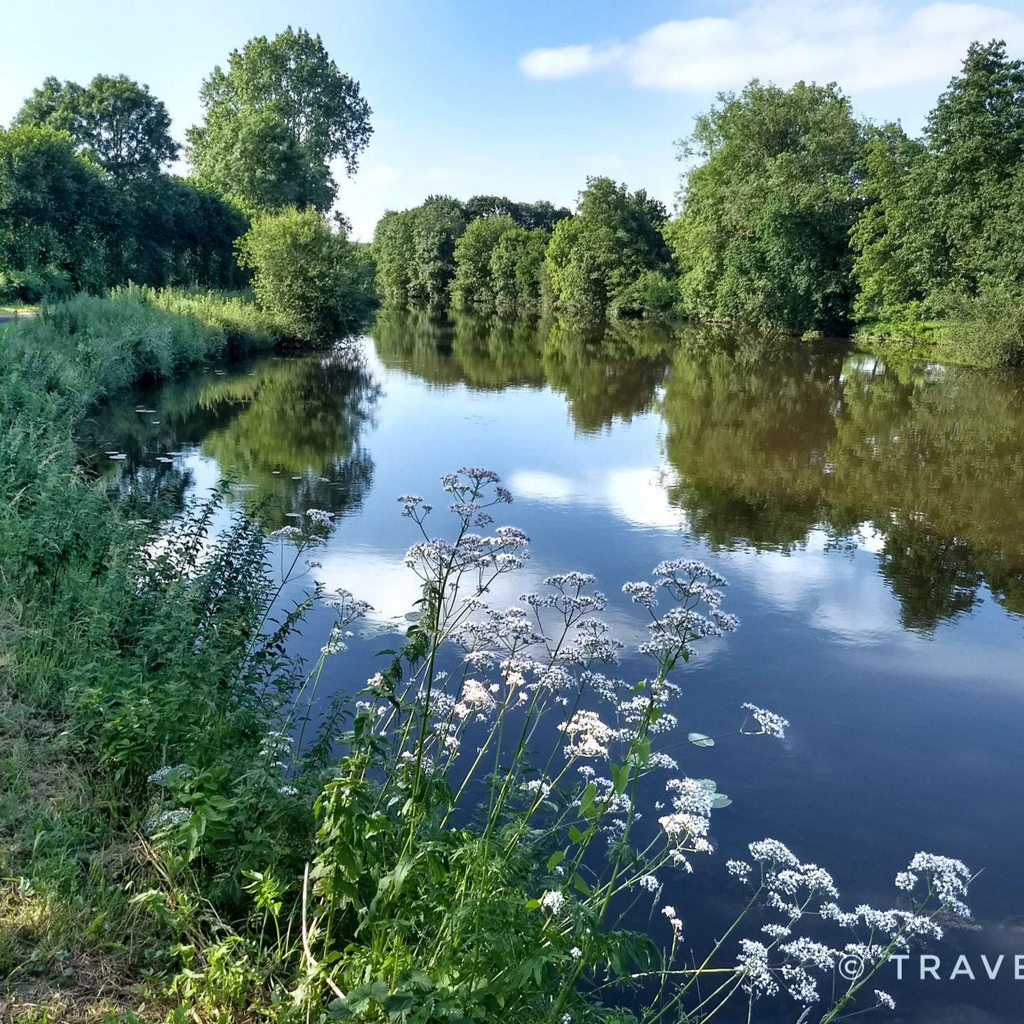
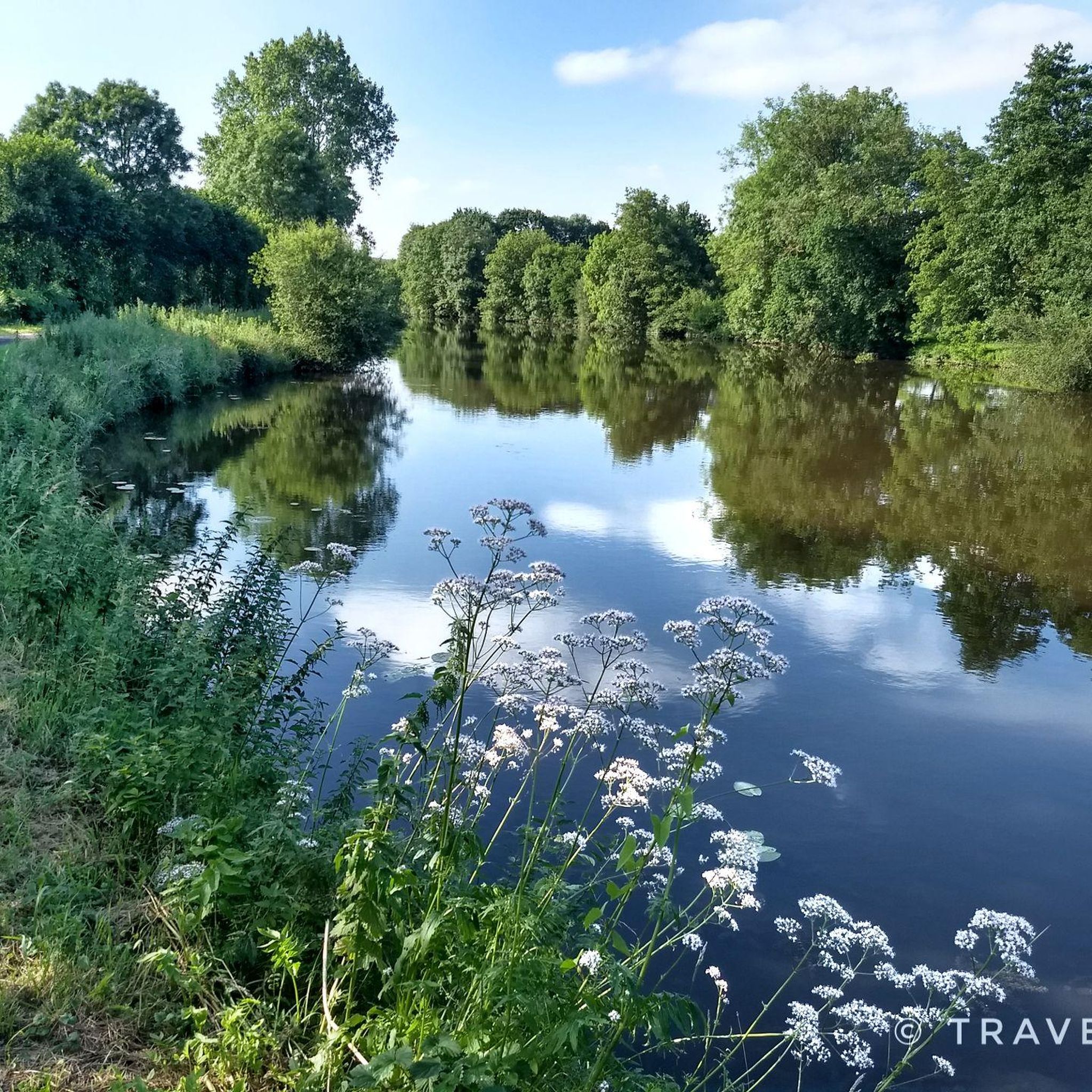
It is worth stopping here for a moment and enjoying the beautiful view. A charming little lock surrounded by well-kept greenery and flowers.
0
0

This is where the cycle path on the Canal de Nantes a Brest and the Voie verte V3 cross
0
0

A very pretty little town with a picturesque town center and beautiful medieval buildings. Crossed by the Oust river and the Nantes-Brest canal, Notre Dame island is made up of beautiful houses.
1
0
Very pretty town to reach along the Oust via the very well laid out towpath
0
0

A nice stop at the edge of the Nantes-Brest canal
1
0

Roc-Saint-André was known under the name of Le Rotz in the 15th century. The Welsh pronunciation is “Le Rô”. In Breton Roz-Sant-Andrev, it is the name of a chapel, the Roz chapel built on a rock dedicated to Saint Andrew. It is an old truce of Sérent, later established as a commune and parish. With its high Cornish bell tower, the neo-Gothic church of Roc Saint André is part of the great church reconstruction movement which marked the 19th century. Its architect, Arthur Regnault, drew no less than 70 plans for Breton churches! The building, built under the leadership of Father Pirio, rector of the parish, dominates a rocky promontory. It replaces the 16th century church razed in 1901 due to dilapidation. https://ville-roc-saint-andre.fr/tourisme-et-patrimoine
0
2
Nice crossing of two long-distance cycle routes: the Vélodyssée coastal route which runs along the Nantes to Brest canal and the track between Saint-Malo and Rhuys which takes the old railway bridge.
1
1
Frequently Asked Questions
What types of hiking trails can I expect around Missiriac?
Missiriac and its surroundings offer a diverse range of hiking experiences. You'll find lush forests, picturesque rural lanes, and scenic paths along significant waterways like the Oust and Blavet valleys. The region is also close to the legendary Brocéliande area, known for its extensive network of trails. Many routes feature gentle elevations, making them accessible for various skill levels.
Are there any easy hiking routes suitable for beginners or casual walkers?
Yes, Missiriac has numerous easy routes. For instance, the Blockhead – Place loop from La Gaudinais is an easy 4.7 km (2.9 miles) trail that takes just over an hour to complete, exploring the pleasant rural surroundings. Overall, over half of the 78 routes in the area are rated as easy.
What are some notable natural features or landmarks to see while hiking near Missiriac?
Hikers can explore the tranquil shores of Lac au Duc, one of Brittany's largest bodies of water, located just 11.9 km from Missiriac. The Oust valley, overlooked by Josselin Castle, and the Blavet valley also provide scenic routes. Within Missiriac itself, you can discover the "sentier des Amis du Jardinier," a pedagogical trail highlighting local biodiversity. Additionally, the Montertelot Lock and the historic Historic centre of Malestroit are popular points of interest along canal paths.
Are there any family-friendly hiking options in the Missiriac area?
Absolutely. The region's generally gentle terrain and numerous easy trails make it ideal for families. The "sentier des Amis du Jardinier" in Missiriac is a pedagogical trail designed to educate about local biodiversity, offering a unique and engaging experience for children. Many of the shorter, easy loops are also perfect for family outings.
Can I bring my dog on the hiking trails around Missiriac?
While specific regulations for each trail can vary, generally, dogs are welcome on many of the outdoor paths in the Missiriac area, especially on rural and forest trails. It's always recommended to keep your dog on a leash and ensure you clean up after them to preserve the natural environment for everyone.
Are there circular hiking routes available?
Yes, many of the trails around Missiriac are designed as circular routes, allowing you to start and end at the same point. An example is the Blockhead – Place loop from Rochefort, an easy 7.3 km (4.5 miles) route. This design is convenient for exploring the diverse landscapes without needing to retrace your steps.
What is the best time of year to go hiking in Missiriac?
The region around Missiriac is pleasant for hiking for much of the year. Spring and autumn offer mild temperatures and beautiful scenery, with blooming flowers or vibrant fall foliage. Summer is also popular, though it can be warmer, making shaded forest paths particularly appealing. Winter hiking is possible, but be prepared for cooler, potentially wetter conditions.
Where can I find parking for hiking trails in Missiriac?
Many trailheads and popular starting points in and around Missiriac, especially in villages like Malestroit or near attractions, typically offer designated parking areas. For example, when starting routes from Malestroit, you'll find parking available. It's advisable to check specific route details on komoot for parking information related to your chosen trail.
What do other hikers say about the trails in Missiriac?
The hiking routes in Missiriac are highly regarded by the komoot community, with an average rating of 4.5 stars from over 80 reviews. Hikers often praise the serene forests, well-maintained canal paths, and the peaceful atmosphere. Many appreciate the variety of options, from easy strolls to more moderate excursions, and the proximity to natural features like Lac au Duc.
Are there any longer, more challenging hikes in the area?
While many routes are easy to moderate, there are options for longer excursions. For example, the Malestroit Lock – Malestroit loop from Malestroit is a moderate 15.0 km (9.3 miles) path that follows the canal, offering a longer day out. Overall, there are 8 routes rated as difficult among the 78 available, providing more challenging options for experienced hikers.
What kind of terrain will I encounter on the trails?
The terrain around Missiriac is quite varied. You'll hike through lush forests, along quiet country lanes, and beside canals. The region features gentle elevations, making most trails accessible. Paths can range from well-trodden earth trails to paved sections in villages or along canal banks, offering a mix of surfaces.
Are there opportunities for public transport to access hiking trails?
While specific public transport links directly to every trailhead might be limited in a rural area like Missiriac, larger nearby towns such as Malestroit may offer bus services. From these towns, you can often access trails that start within or on the outskirts. For more remote starting points, personal transport is generally recommended.
Most popular routes around Missiriac
Most popular attractions around Missiriac

Get inspired with the komoot mobile app


Explore more
Browse the best Hikes in other regions.
