The best walks and hikes around Caro
4.6
(323)
2,055
hikers
147
hikes
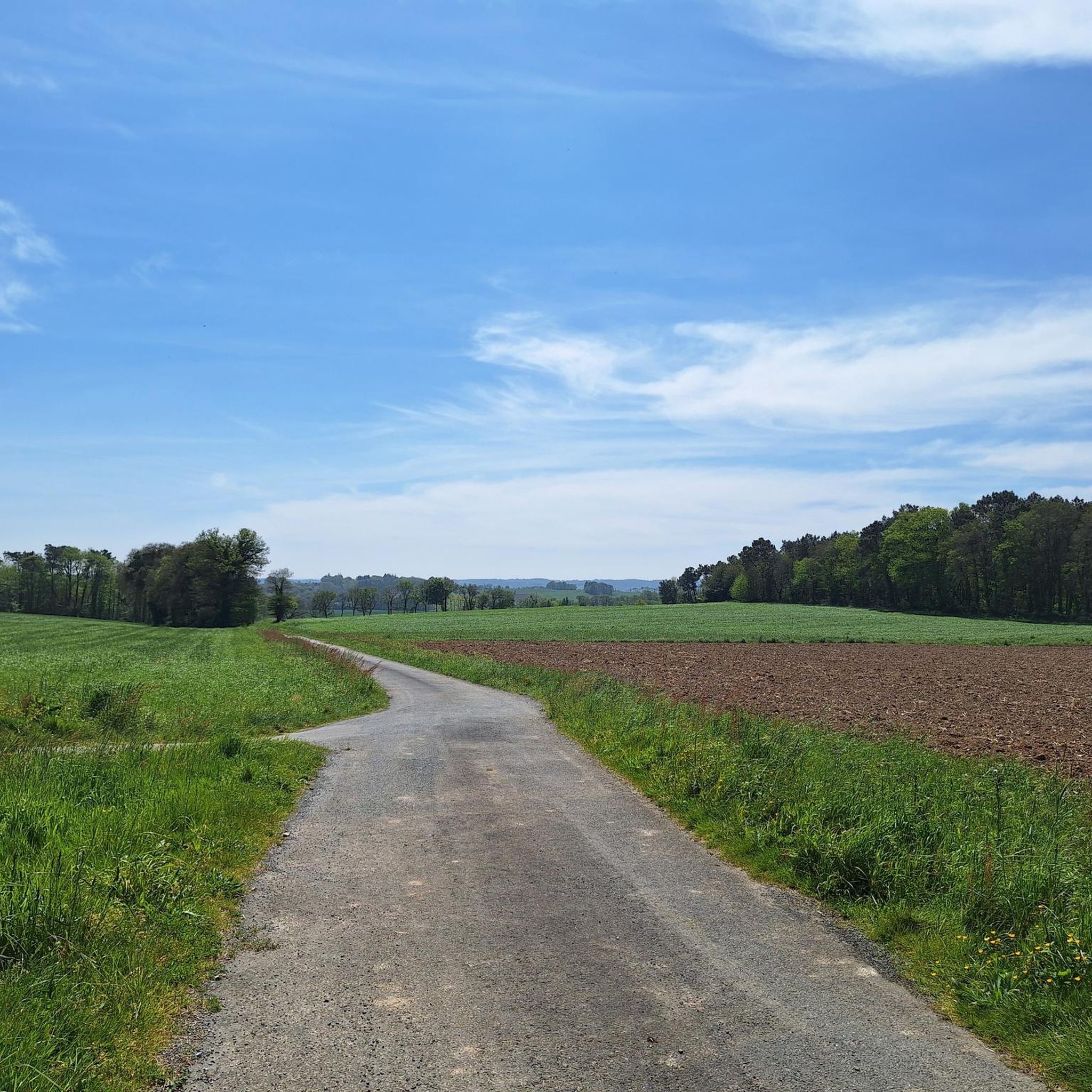
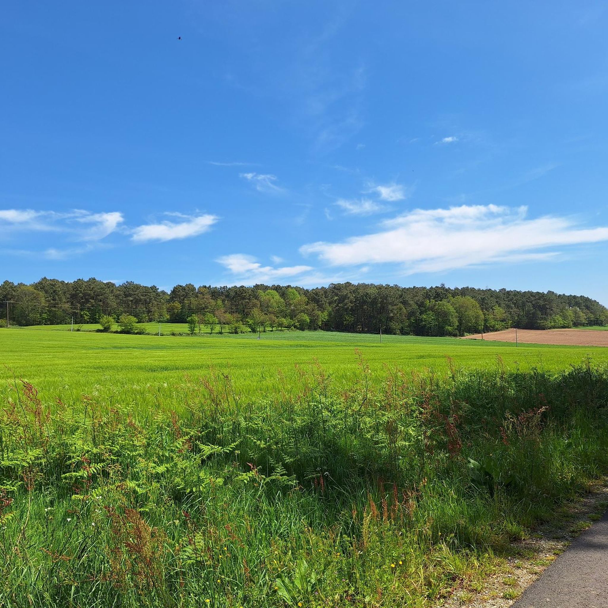
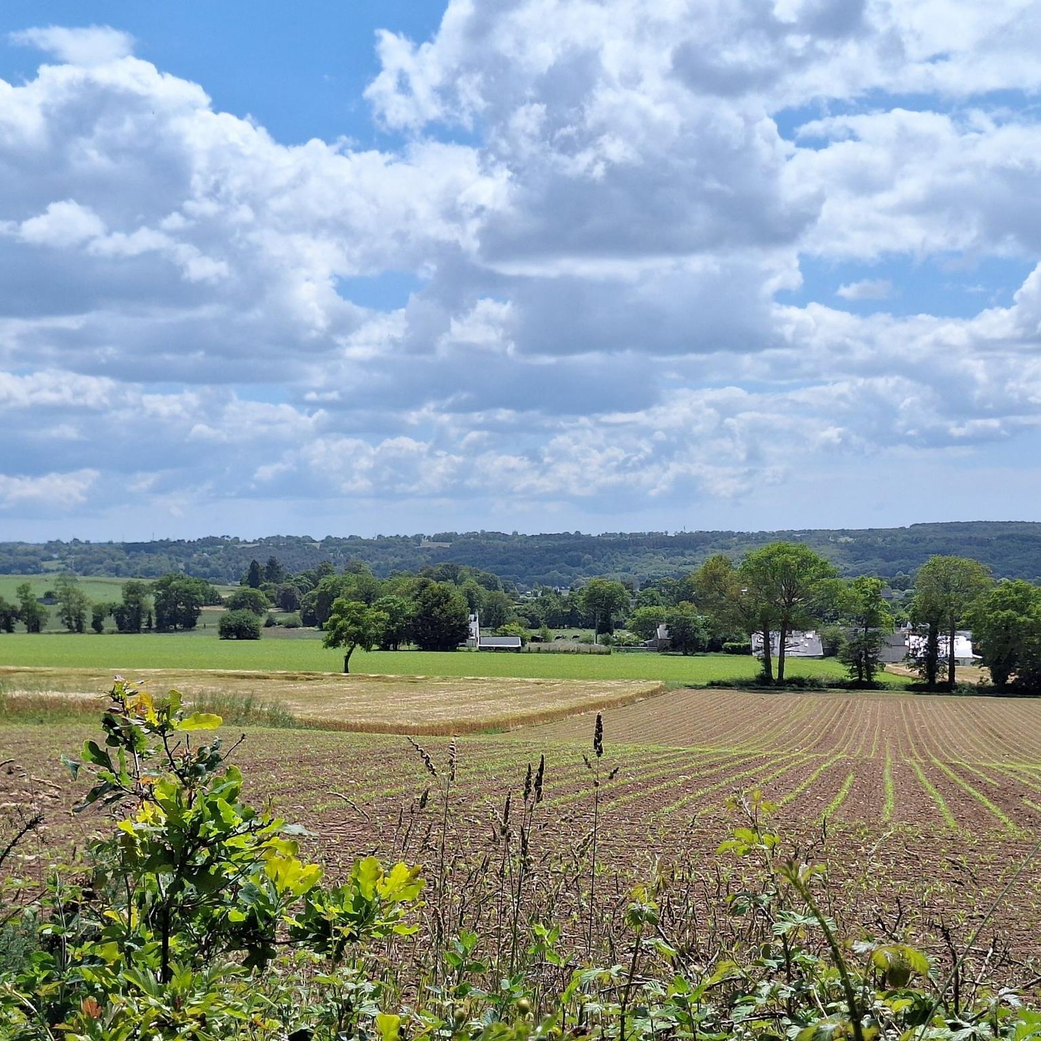
Hiking around Caro offers a network of trails characterized by gentle terrain and minimal elevation changes. The landscape primarily features rural paths, agricultural areas, and routes that often follow waterways or connect small villages. These trails provide accessible options for exploring the region's natural and settled environments, including woodlands and wetlands.
Best hiking trails around Caro
- The most popular hiking route is Blockhead – Place loop from La Gaudinais, a 2.9 miles (4.7 km) trail that takes 1 hour 11…
Last updated: October 7, 2026
4.9
(11)
61
hikers
9.11km
02:23
70m
70m
Moderate hike. Good fitness required. Easily-accessible paths. Suitable for all skill levels.
4.0
(1)
14
hikers
14.4km
03:47
110m
110m
Moderate hike. Good fitness required. Easily-accessible paths. Suitable for all skill levels.

5.0
(1)
20
hikers
Hard hike. Very good fitness required. Easily-accessible paths. Suitable for all skill levels.
8
hikers
24.1km
06:14
140m
140m
Hard hike. Very good fitness required. Easily-accessible paths. Suitable for all skill levels.
5.0
(1)
6
hikers
13.9km
03:42
150m
150m
Moderate hike. Good fitness required. Easily-accessible paths. Suitable for all skill levels.
Get access to more routes and recommendations from other explorers.
Already have an account?
Our route recommendations are based on thousands of hikes, rides, and runs completed by other people on komoot.
Start today with a free account
Your next adventure awaits.

Tips from the Community

Absolutely charming town, lots of little corners with beautiful things. Definitely recommend stopping and enjoying.
0
0

Calvary from the end of the 15th century. Granite cemetery cross. Jesus and the Evangelists, the lion of Saint Mark. Listed as a Historic Monument since 1927.
0
0
Chapel that dates back to the 15th century. Destroyed, it was rebuilt at the beginning of the 20th century. Small bell tower, fresh and pleasant interior, with pretty statuettes of the evangelists.
0
0

... and we almost drove past. The medieval town is worth visiting twice! The buildings have great architecture and there are plenty of restaurants.
0
0

It is worth stopping here for a moment and enjoying the beautiful view. A charming little lock surrounded by well-kept greenery and flowers.
0
0
It's really worth visiting! Beautifully renovated and maintained houses from the 15th and 16th century create an amazing atmosphere of a truly historic village. True wonders of ancient architecture.
0
0

Beautiful small town with stone and half-timbered houses worth seeing. The founding of Malestroit dates back to 987, when monks settled on the banks of the Oust. The place became a stage destination on the Way of St. James, one of the pilgrimage routes to Santiago de Compostela. In 1131 the place was mentioned under the name Malestricum. During the Hundred Years' War in 1343 in the chapel de la Madeleine in Malestroit by the French king Philip VI. and the English King Edward III. signed a ceasefire. At the end of the Middle Ages, Malestroit became one of the nine baronies of Brittany. At the beginning of the 19th century, Napoleon I commissioned the construction of the Canal de Nantes à Brest, initially for military reasons, but later also with the aim of connecting the interior of Brittany to commercial goods traffic. Source: Wikipedia
1
0
Frequently Asked Questions
How many hiking trails are available around Caro?
There are over 120 hiking routes recorded around Caro on komoot. These include a variety of options, with 68 easy routes, 49 moderate routes, and 5 more challenging trails, ensuring choices for different fitness levels.
Are there easy hikes suitable for beginners or families in Caro?
Yes, Caro offers many easy hikes perfect for beginners or families. The terrain is generally gentle with minimal elevation changes. An example is the Blockhead – Place loop from La Gaudinais, which is an easy 2.9-mile (4.7 km) trail.
What kind of scenery can I expect on hikes around Caro?
Hiking around Caro primarily features rural paths, agricultural areas, and routes that often follow waterways or connect small villages. The landscape is characterized by gentle terrain, offering accessible options for exploring both natural and settled environments.
Are there any circular walks near Caro?
Many of the trails around Caro are circular, offering convenient starting and ending points. For instance, the Château de Crévy – Saint-Laur Fountain loop from Val d'Oust is a moderate 5.0-mile (8.1 km) loop featuring varied scenery.
What are some interesting landmarks or attractions to see while hiking near Caro?
Several routes pass by points of interest. You can explore the Historic centre of Malestroit, visit the ancient Menhirs of Monteneuf, or see the Mills of Île Notre-Dame in Malestroit. The Malestroit Lock – Malestroit loop from Malestroit is a good option for riverside paths and village areas.
What do other hikers enjoy most about the trails in Caro?
The trails in Caro are highly rated by the komoot community, with an average score of 4.6 stars from over 250 reviews. Hikers often praise the gentle paths, the peaceful rural landscapes, and the well-maintained routes that connect local points of interest.
Are there any shorter, easy routes for a quick walk?
Yes, there are several shorter, easy routes. The StreetArt – Place loop from Malestroit is an easy 4.0-mile (6.4 km) trail, perfect for a quick and enjoyable walk through local surroundings.
What is the typical duration for hikes around Caro?
Hike durations vary depending on the route and your pace. Many easy trails can be completed in 1-2 hours, while moderate routes like the Château de Crévy – Saint-Laur Fountain loop from Val d'Oust typically take around 2 hours. Longer routes can extend to 4 hours or more.
Are there any routes that offer a mix of natural and cultural sights?
Absolutely. Many routes combine natural landscapes with glimpses of local culture. For example, the Blockhead – Place loop from Rochefort offers an easy walk that allows you to experience both the rural environment and local points of interest.
Is Caro a good destination for hikers looking for minimal elevation gain?
Yes, Caro is an excellent destination for hikers preferring minimal elevation gain. The region is known for its gentle terrain, making it suitable for relaxed walks rather than strenuous climbs.
What is the best time of year to go hiking in Caro?
While specific data isn't provided, regions with gentle terrain and rural landscapes like Caro are generally pleasant for hiking from spring through autumn. These seasons offer comfortable temperatures and vibrant scenery, though specific conditions can vary.
Most popular attractions around Caro

Get inspired with the komoot mobile app


Explore more
Browse the best Hikes in other regions.
