The best running trails around Cenves
4.5
(103)
5,097
runners
428
runs
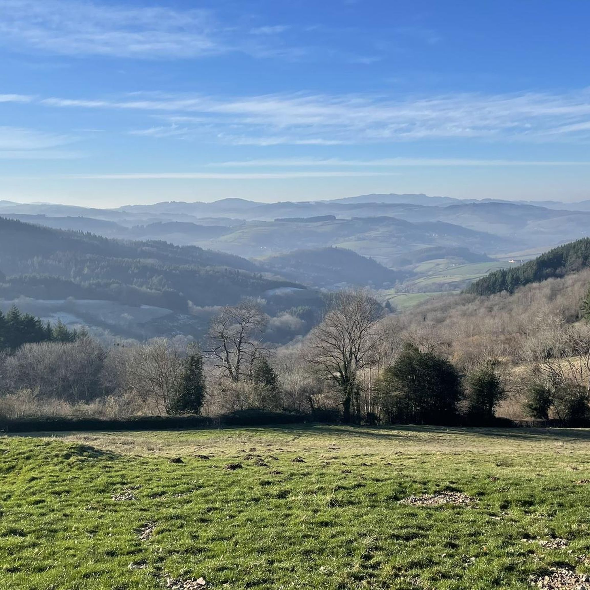
Jogging routes around Cenves traverse a diverse landscape in the Beaujolais Vert region, characterized by rolling hills, dense forests, and open pastures. The area features numerous cols (mountain passes) over 700 meters, offering challenging ascents and panoramic views. Runners can explore varied terrain, from shaded woodland paths to routes descending into valleys like the Petite Grosne. This combination of elevation changes and natural features provides a dynamic environment for running.
Best jogging routes around Cenves
- The most popular jogging route…
Last updated: June 28, 2026
25
runners
22.2km
02:46
740m
740m
Hard run. Very good fitness required. Mostly paved surfaces. Suitable for all skill levels.
10
runners
15.2km
01:57
540m
540m
Hard run. Very good fitness required. Mostly paved surfaces. Suitable for all skill levels.

Sign up for free
11
runners
9.10km
01:12
280m
280m
Moderate run. Good fitness required. Mostly paved surfaces. Suitable for all skill levels.
9
runners
17.1km
02:15
670m
670m
Hard run. Very good fitness required. Mostly accessible paths. Some sure footedness required.
7
runners
7.93km
01:00
200m
200m
Moderate run. Good fitness required. Mostly paved surfaces. Suitable for all skill levels.
Get access to more routes and recommendations from other explorers.
Sign up for free
Already have an account?
Our route recommendations are based on thousands of hikes, rides, and runs completed by other people on komoot.
Start today with a free account
Your next adventure awaits.
Login or Signup
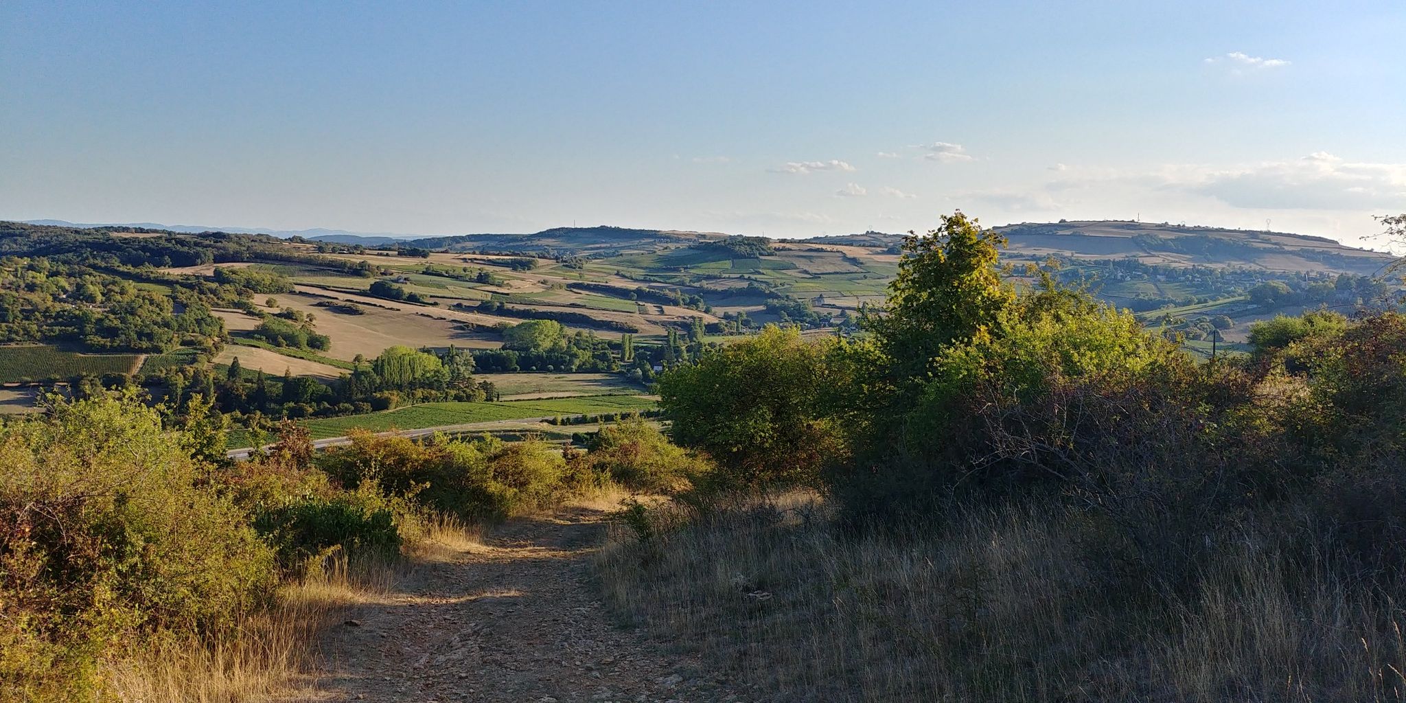
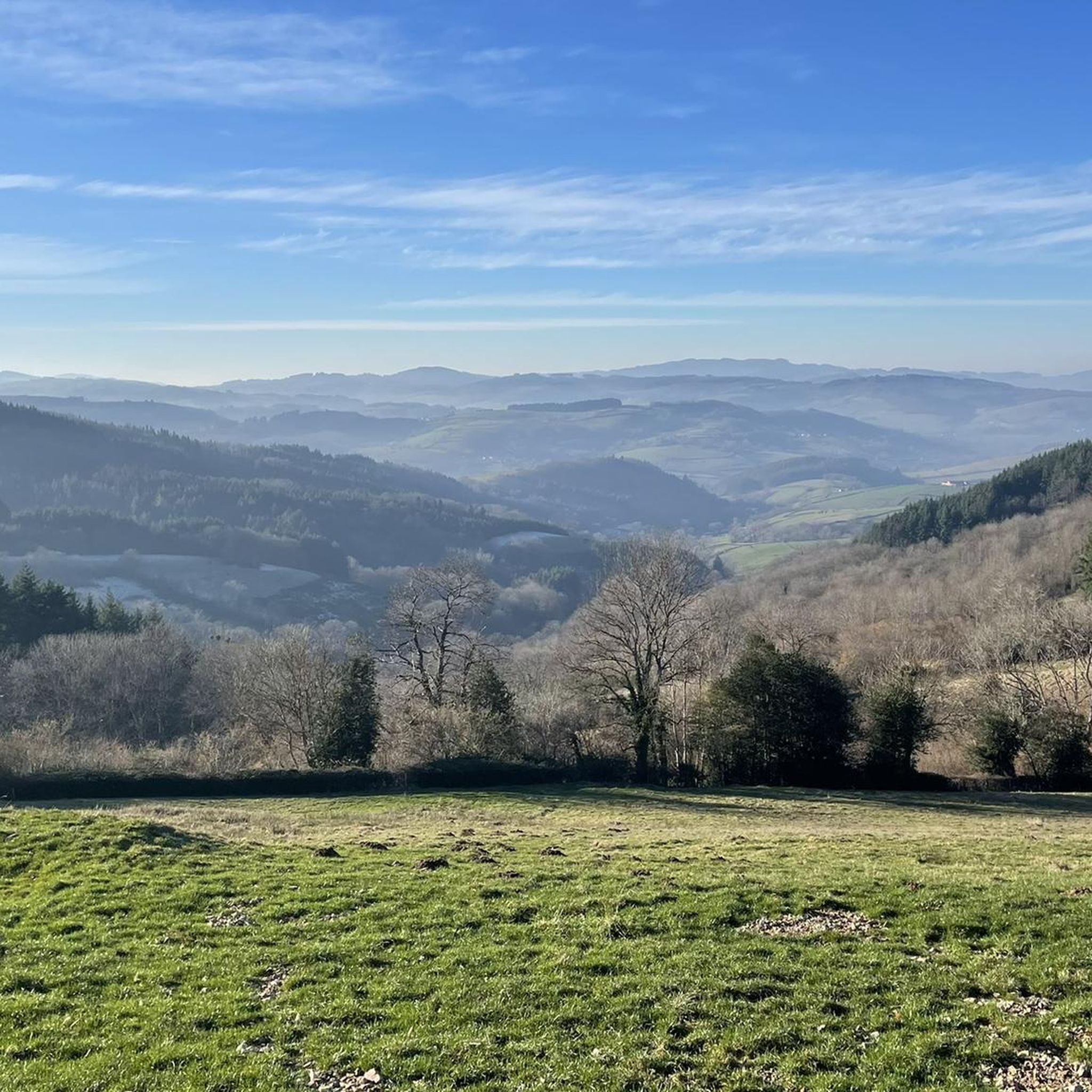
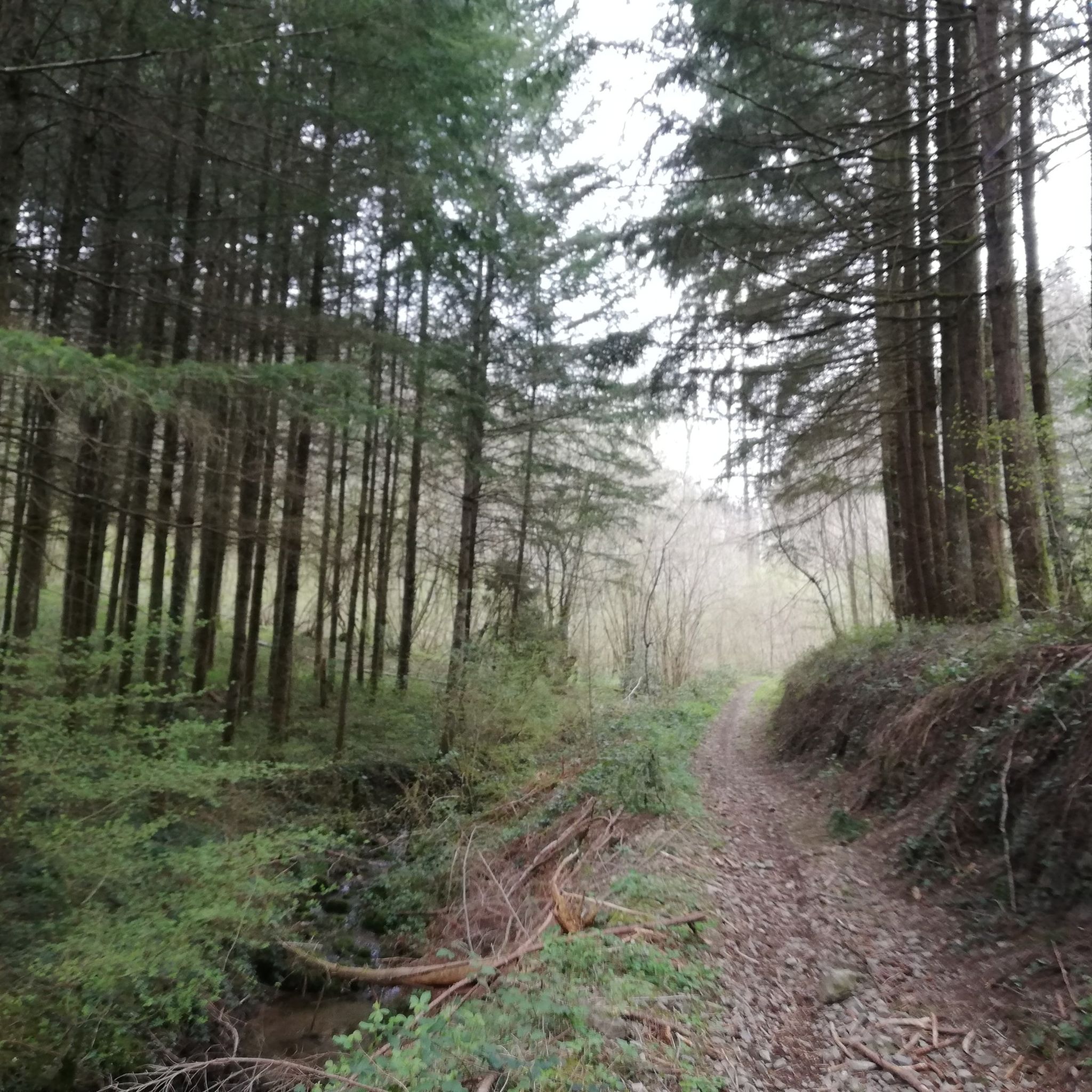
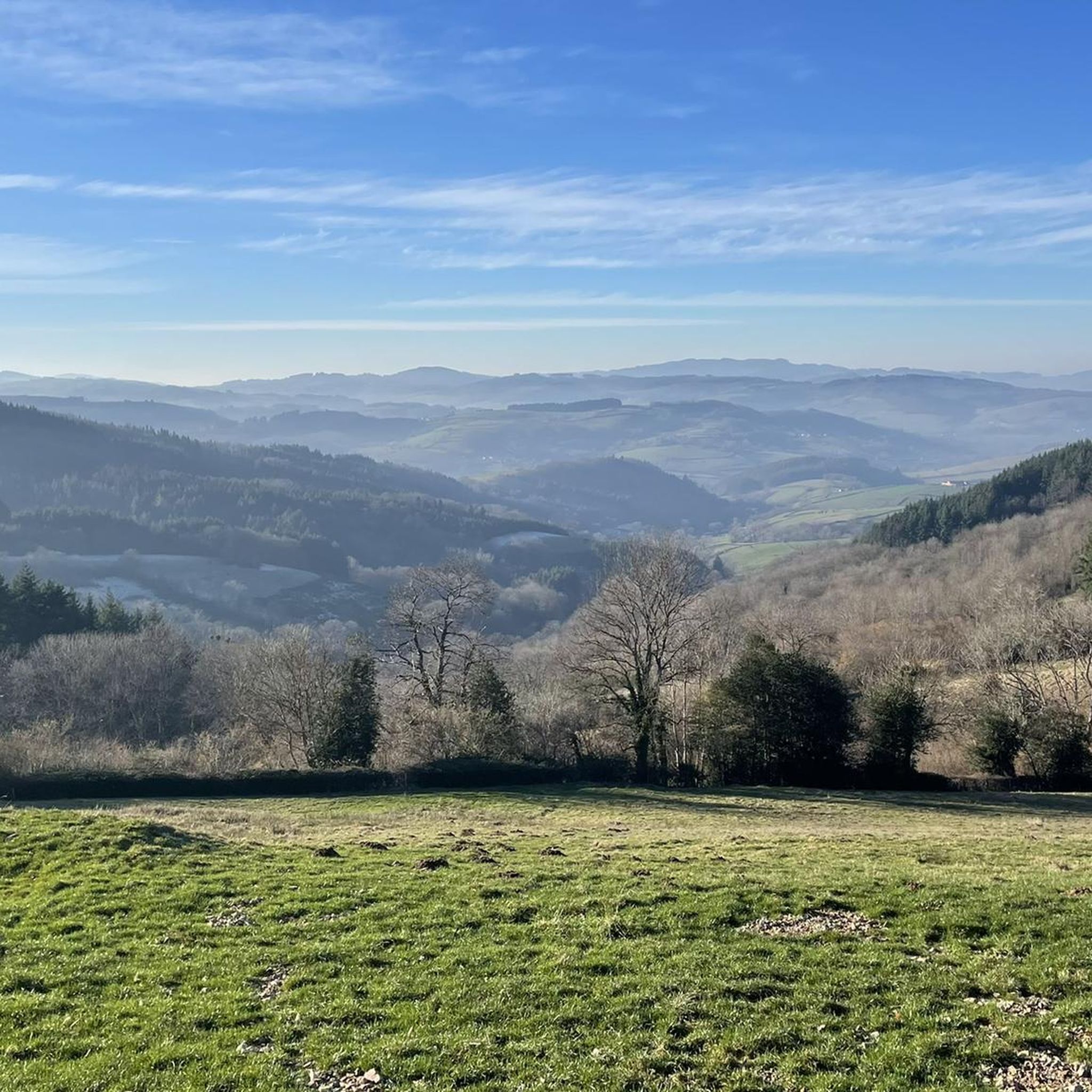

Other adventures around Cenves

Tips from the Community

The Rock of Solutré is a world-famous, 493-meter-high limestone rock in the south of the Burgundy region. It is located amidst the picturesque vineyards of the municipality of Solutré-Pouilly. The region is officially designated as a Grand Site de France. The hike to the summit is easy to moderate and very doable for families. It takes about 1 hour for the entire loop (approx. 4 kilometers round trip). The elevation gain is around 100 to 140 meters from the official parking lot on well-maintained paths with information panels, although there are many steps.
1
0
Although the pass is located in France and is not extremely high, its name translates to "Siberia Pass". The name goes back to the often very cold, snow-rich winds and the harsh weather conditions in winter.
1
0
The Col de Gerbet (612 m) is an idyllic mountain pass in the French wine-growing region of Beaujolais. Depending on the starting point, various roads with little traffic lead up to the pass via the D137. From Juliénas (south-east approach): This route is 7.3 kilometers long. It overcomes 342 meters of altitude with a steady, moderate gradient of 4.7% on average. The road winds through shady forest sections. From La Croix Blanche (west approach): A tougher variant 4.5 kilometers long. Here you conquer 270 meters of altitude with an average gradient of 6% and ramps of up to 11%.
1
0

Nice view over Serrières near the mère boitier signal
0
0

The 495 m high Rock of Solutré lies in the heart of a nature reserve recognized as a Grand Site de France, comprising Solutré, Pouilly and Vergisson.
0
0
Breathtaking view of the 2 rocks 🤩
0
0

Magnificent view after a nice, not very technical descent
1
0
Frequently Asked Questions
How many running routes are available in the Cenves area?
There are over 420 running routes around Cenves, offering a wide variety of options for all fitness levels. You'll find everything from shorter, moderate loops to challenging long-distance trails with significant elevation gain.
Are there easy running trails suitable for beginners or families in Cenves?
Yes, Cenves offers several easy running trails perfect for beginners or families. While many routes feature challenging terrain, there are at least 14 routes classified as easy. These typically involve less elevation and shorter distances, allowing for a more relaxed experience amidst the beautiful Beaujolais Vert landscape.
What kind of terrain can I expect on the jogging routes around Cenves?
Jogging routes around Cenves traverse a diverse landscape. You can expect a mix of rolling hills, dense forests offering shaded paths, and open pastures. Many routes feature significant elevation changes, including numerous 'cols' (mountain passes) over 700 meters, providing both challenging ascents and rewarding panoramic views. Some trails also descend into valleys like the Petite Grosne.
What are some scenic viewpoints or natural landmarks I can see while running in Cenves?
Cenves is rich in scenic viewpoints and natural landmarks. You can enjoy breathtaking panoramas from various points, including the Roche de Solutré and Vergisson Rock, which offer expansive views over the Mâconnais vineyards and even the Alps on clear days. The Rochefort Cross also provides superb vistas of the Beaujolais, Lyonnais, and Monts d'Or mountains. Many routes pass through forests and open meadows, offering varied and picturesque scenery.
Are there any circular running routes in Cenves?
Yes, many of the running routes in Cenves are circular, allowing you to start and finish at the same point. For example, the challenging Signal de la Mère Boitier – Table d'orientation loop from Cenves is a great option for experienced runners seeking a long, scenic loop.
What do other runners enjoy most about the trails in Cenves?
The running trails in Cenves are highly rated by the komoot community, with an average score of 4.5 stars from over 90 reviews. Runners often praise the diverse terrain, the challenging ascents leading to spectacular panoramic views, and the well-maintained paths that wind through forests and pastures. The combination of natural beauty and varied difficulty levels makes it a popular destination for outdoor enthusiasts.
Can I find running routes that pass by historical sites or cultural attractions?
While the primary focus is on natural landscapes, some routes offer cultural points of interest. For instance, the region's 'cols' like the Col du Carcan have historical intrigue with ancient tombs discovered nearby. Additionally, the nearby village of Saint-Jacques-des-Arrêts offers the opportunity to see paintings by Jean Fusaro inside its church, which could be combined with a run in the area.
Are there any running routes that offer views of castles or other man-made landmarks?
Yes, some running routes in the broader Cenves area might offer glimpses of historical architecture. While not directly on the routes, nearby attractions include several castles such as the Medieval fortress of Berzé-le-Châtel, Pierreclos Castle, and Château de Chasselas. You could plan a run that incorporates views of these impressive structures or visit them before or after your run.
What is a good running route for someone looking for a challenging workout with great views?
For a challenging workout with rewarding views, consider the Mount Pouilly – View of La Roche de Solutré loop from Chasselas. This difficult 12.6 km route features significant elevation gain and offers stunning perspectives, including views of the iconic Roche de Solutré.
Are there any less crowded running routes in Cenves?
While popular spots like Roche de Solutré can attract visitors, the vast network of trails in Cenves means you can often find quieter paths. Exploring routes through the dense forests and less-traveled pastures, especially during off-peak hours or seasons, can lead to a more serene running experience. Look for routes that are not explicitly highlighted as 'most popular' to discover hidden gems.
What are the best seasons for jogging in Cenves?
The Beaujolais Vert region around Cenves is beautiful throughout much of the year. Spring and autumn offer pleasant temperatures and vibrant scenery, with blooming flowers or colorful foliage. Summer provides warm weather, and the many forested paths offer welcome shade. Even winter can be suitable for running, though some higher elevation trails might require more caution due to potential ice or snow.
Most popular attractions around Cenves

Get inspired with the komoot mobile app


Explore more
Browse the best Running Trails & Routes in other regions.
