The best road cycling routes around Poiseul-La-Ville-Et-Laperrière
4.5
(9)
182
riders
54
rides
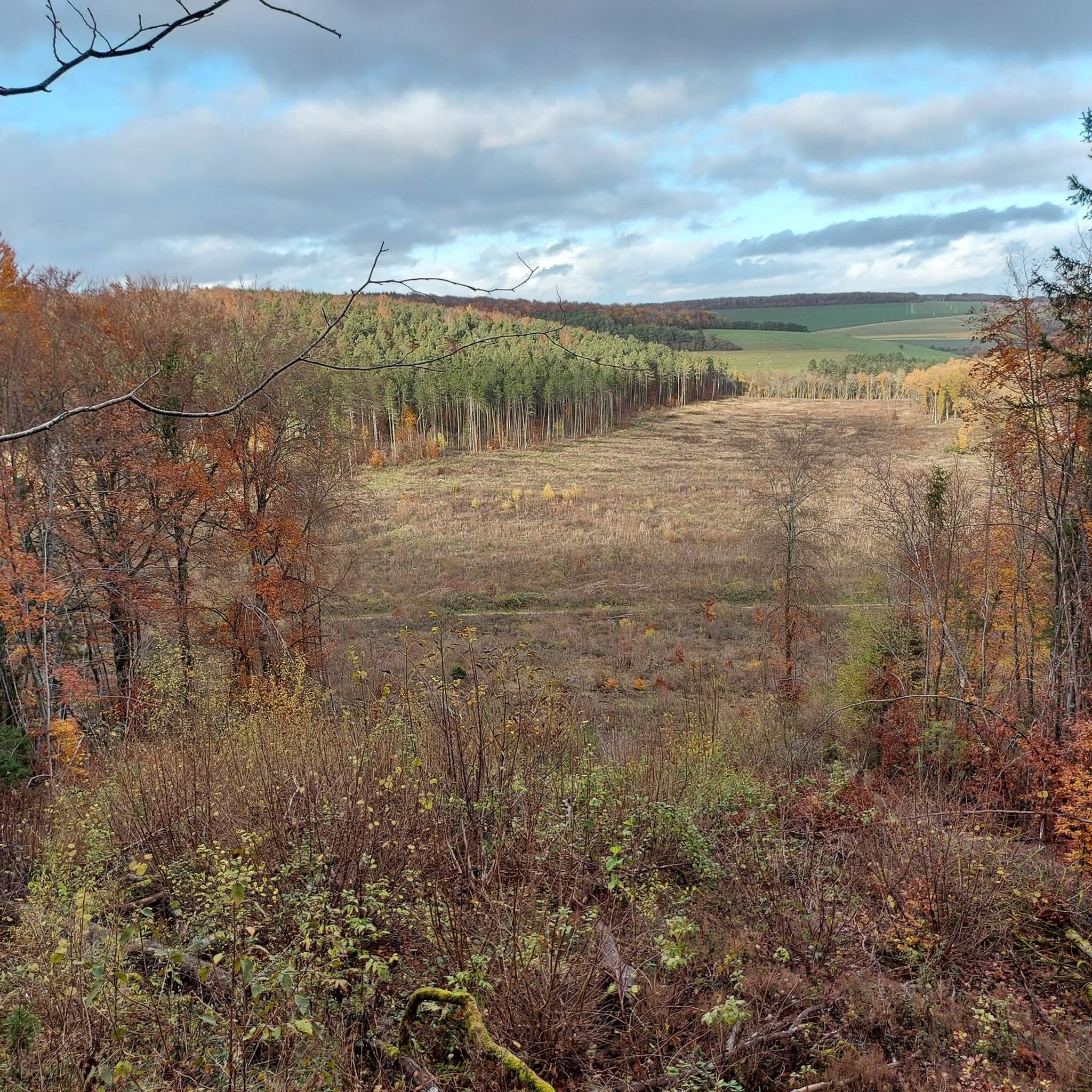
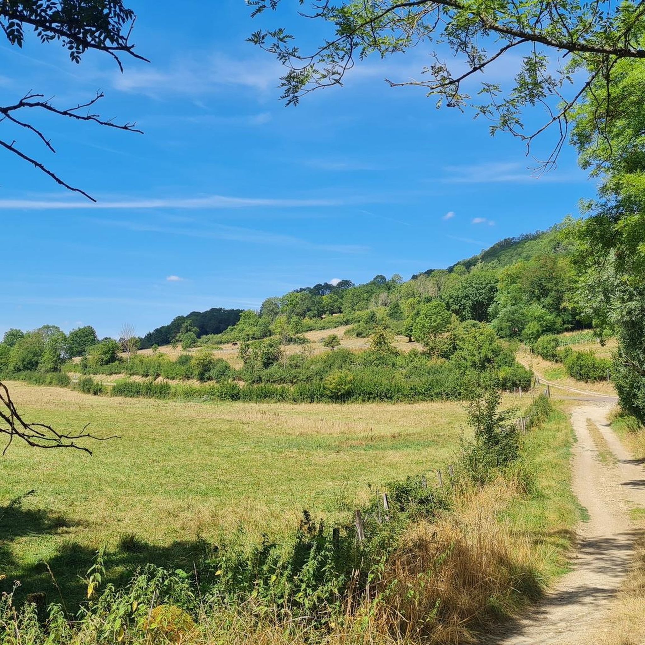
Road cycling routes around Poiseul-La-Ville-Et-Laperrière traverse the varied topography of the plateau de Langres, with elevations reaching 450 meters. The area features 140 hectares of woods, offering shaded routes through forested areas. The Seine river also flows through the commune, providing potential routes along riverbanks. The landscape is characterized by imposing stone farmhouses and ancient dwellings, indicating a rural environment suitable for road cycling.
Best road cycling routes around Poiseul-La-Ville-Et-Laperrière
- The most popular road cycling route is Turcey Church –…
Last updated: July 15, 2026
16
riders
52.2km
02:11
390m
390m
Moderate road ride. Good fitness required. Mostly well-paved surfaces and easy to ride.
12
riders
95.1km
04:02
720m
720m
Moderate road ride. Good fitness required. Mostly well-paved surfaces and easy to ride.

Sign up for free
4.0
(2)
9
riders
65.9km
02:48
530m
530m
Moderate road ride. Good fitness required. Mostly well-paved surfaces and easy to ride.
9
riders
79.8km
03:23
610m
610m
Moderate road ride. Good fitness required. Mostly well-paved surfaces and easy to ride.
8
riders
65.8km
02:55
530m
530m
Moderate road ride. Good fitness required. Mostly well-paved surfaces and easy to ride.
Get access to more routes and recommendations from other explorers.
Sign up for free
Already have an account?
Our route recommendations are based on thousands of hikes, rides, and runs completed by other people on komoot.
Start today with a free account
Your next adventure awaits.
Login or Signup
Popular around Poiseul-La-Ville-Et-Laperrière

Tips from the Community

Vercingetorix, the great Celtic prince who was tragically defeated by the Romans. The battle site is historically important for France.
1
0

Beautiful sight. But there is only a small sign. A visit is not possible.
3
0

Magnificent stone bridge which spans the Brenne in the center of Montbard. The bridge is paved, and offers you splendid views of both banks and the river below.
0
0

The city lies on Brenne and the Canal de Bourgogne. The area was already populated in ancient times. During the time of the Gauls there was a Druid community here. In the Middle Ages a town developed around the castle. Aleth, the mother of Bernard of Clairvaux, was born at the castle in 1070. The settlement received city rights in 1231. While the castle was a secondary residence of the Dukes of Valois from Burgundy, it was besieged in 1590 by the Count of Tavannes, who fought the Duke of Nemours on behalf of the French King Henri IV. The Canal de Bourgogne opened in 1833. In 1926, Montbard became a sub-prefecture by the decree of Raymond Poincarés.
1
0

Beautiful old town on the Canal du Bourgogne; Castle hill with Gothic town church; campsite with outdoor swimming pool; Starting point for tours in the area, especially to Fontenay Abbey
1
0

The church was founded in the 6th century but the abbey church was not built until later, between the 13th and 15th centuries. In Burgundian Gothic style, the portal is decorated with plant decoration made up of branches of vines. Once inside, you will be able to see wall paintings from the beginning of the 16th century representing the legend of Saint Seine in 22 paintings, the Tree of Jesse, Saint Christopher and the litanies of the Virgin.
0
0
Old church from the 12th century, with a small cemetery, closed to visitors, but still picturesque from the outside.
0
0

Many, mostly young people, even without any further knowledge of French history. The comic series ASTERIX, which has been translated into many languages around the world, acquaints its readers with this, even though it is (supposedly) not possible to identify this fateful place with a specific location there: “I don't know any Alesia. Nobody knows where this Alesia is," claims Majestix, head of the small Gallic village that successfully resisted the Roman occupiers - thanks to the legendary magic potion of their druid Miraculix - for example in the volume "Asterix and the Avernian Shield".
3
1
Frequently Asked Questions
How many road cycling routes are available around Poiseul-La-Ville-Et-Laperrière?
There are over 50 road cycling routes available around Poiseul-La-Ville-Et-Laperrière, offering a variety of distances and difficulty levels. The komoot community has explored these routes over 160 times, providing valuable insights and ratings.
What kind of terrain can I expect on road cycling routes in Poiseul-La-Ville-Et-Laperrière?
The region is situated on the plateau de Langres, so you can expect varied topography with elevations reaching up to 450 meters. Routes often feature a mix of ascents and descents, passing through 140 hectares of woods for shaded sections and potentially following the Seine river. The landscape is characterized by rural charm and ancient stone dwellings.
Are there road cycling routes suitable for beginners or those looking for an easier ride?
Yes, among the available routes, 7 are classified as easy, making them suitable for beginners or those preferring a more relaxed pace. These routes typically have less elevation gain and shorter distances, allowing you to enjoy the scenic countryside without excessive challenge.
What about more challenging road cycling options in the area?
For experienced road cyclists seeking a challenge, there are 9 routes classified as difficult. These routes often feature significant elevation changes and longer distances, such as the Source of the Seine – Poncey-sur-l'Ignon washhouse loop from Thenissey, which includes over 690 meters of elevation gain over its 57 km. The majority of routes (43) are moderate, offering a good balance for most riders.
What natural features or landmarks can I see while road cycling in Poiseul-La-Ville-Et-Laperrière?
Road cycling in the area offers views of dense woodlands and the Seine river. You might also encounter the Source of the Seine, a significant natural landmark. The rural landscape itself, with its imposing stone farmhouses, provides a picturesque backdrop for your rides.
Are there any historical sites or cultural points of interest along the routes?
Yes, the region is rich in history. You can explore sites like the 12th-century Église Saint-Victor with its rare 14th-century porch, a 13th-century house in Laperrière, or the 16th-century Monumental Cross (Calvaire). The Statue of Vercingetorix – Lavoir des Celliers loop from Thenissey is one route that passes by historical points of interest, offering a blend of cycling and cultural exploration.
Is parking available for road cyclists in Poiseul-La-Ville-Et-Laperrière?
While specific parking areas for cyclists are not detailed, the rural character of Poiseul-La-Ville-Et-Laperrière suggests that parking is generally available within the commune or at the start points of various routes. It's advisable to check local signage upon arrival.
What do other road cyclists enjoy the most about road cycling in Poiseul-La-Ville-Et-Laperrière?
The area is highly rated by the komoot community, with an average score of 4.7 stars from over 9 reviews. Reviewers often praise the varied terrain, the peaceful environment with less traffic, and the scenic routes through wooded areas and along the river. The blend of natural beauty and historical charm is also a highlight.
Can I find circular road cycling routes in the region?
Many of the road cycling routes around Poiseul-La-Ville-Et-Laperrière are designed as loops, offering convenient circular journeys. Examples include the Turcey Church – Drée Village loop from Thenissey and the Drée Village – View of Flavigny-sur-Ozerain loop from Thenissey, allowing you to start and finish at the same point.
Are there any routes that offer views of nearby villages or towns?
Yes, some routes provide scenic vistas of the surrounding area. For instance, the Drée Village – View of Flavigny-sur-Ozerain loop from Thenissey leads through wooded areas and offers views of the picturesque village of Flavigny-sur-Ozerain, known for its historical significance.
What is the best time of year for road cycling in Poiseul-La-Ville-Et-Laperrière?
Given the region's characteristics, spring and autumn generally offer the most pleasant conditions for road cycling, with milder temperatures and beautiful scenery. Summer can also be enjoyable, especially on routes that pass through the 140 hectares of woods, providing welcome shade.
Most popular routes around Poiseul-La-Ville-Et-Laperrière
Most popular attractions around Poiseul-La-Ville-Et-Laperrière

Get inspired with the komoot mobile app


Explore more
Browse the best Road cycling routes in other regions.
