The best running trails around Saint-Jacques-Des-Arrêts
4.5
(43)
2,396
runners
162
runs
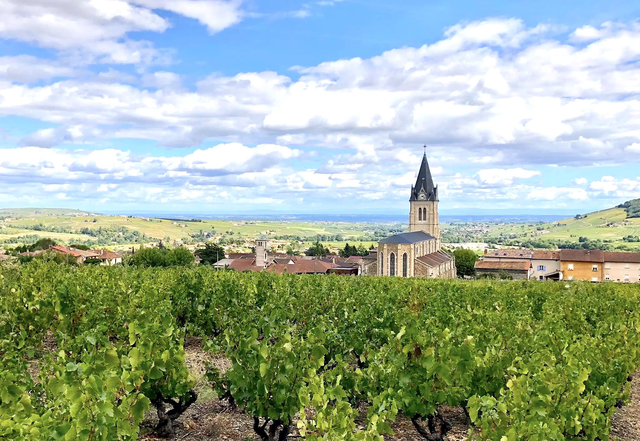
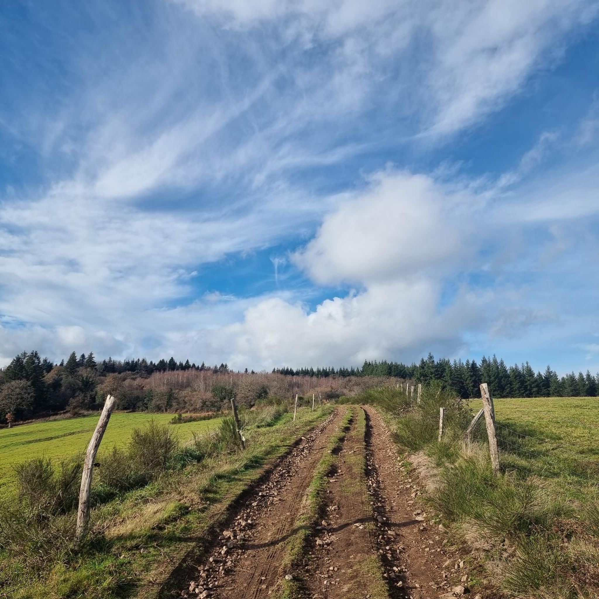
Jogging routes around Saint-Jacques-Des-Arrêts traverse the verdant landscapes of the Haut-Beaujolais region, characterized by a harmonious mix of bocage and valleys. The terrain offers varied experiences, from circuits through pastures to routes with significant elevation changes. Key features include moorlands and several cols, providing panoramic views over the Gosne Orientale valley and beyond.
Best jogging routes around Saint-Jacques-Des-Arrêts
- The most popular jogging route is Vergisson Rock – Rochefort Cross loop from Pruzilly, a 44.6 miles (71.7 km) trail that…
Last updated: June 28, 2026
5.0
(1)
64
runners
70.9km
09:37
2,430m
2,430m
Hard run. Very good fitness required. Sure-footedness, sturdy shoes and alpine experience required.
25
runners
22.2km
02:46
740m
740m
Hard run. Very good fitness required. Mostly paved surfaces. Suitable for all skill levels.

Sign up for free
20
runners
11.0km
01:17
280m
280m
Moderate run. Good fitness required. Mostly paved surfaces. Suitable for all skill levels.
12
runners
20.7km
02:41
710m
710m
Hard run. Very good fitness required. Mostly paved surfaces. Suitable for all skill levels.
11
runners
13.1km
01:44
380m
380m
Hard run. Very good fitness required. Sure-footedness, sturdy shoes and alpine experience required.
Get access to more routes and recommendations from other explorers.
Sign up for free
Already have an account?
Our route recommendations are based on thousands of hikes, rides, and runs completed by other people on komoot.
Start today with a free account
Your next adventure awaits.
Login or Signup
Popular around Saint-Jacques-Des-Arrêts
Other adventures around Saint-Jacques-Des-Arrêts

Tips from the Community

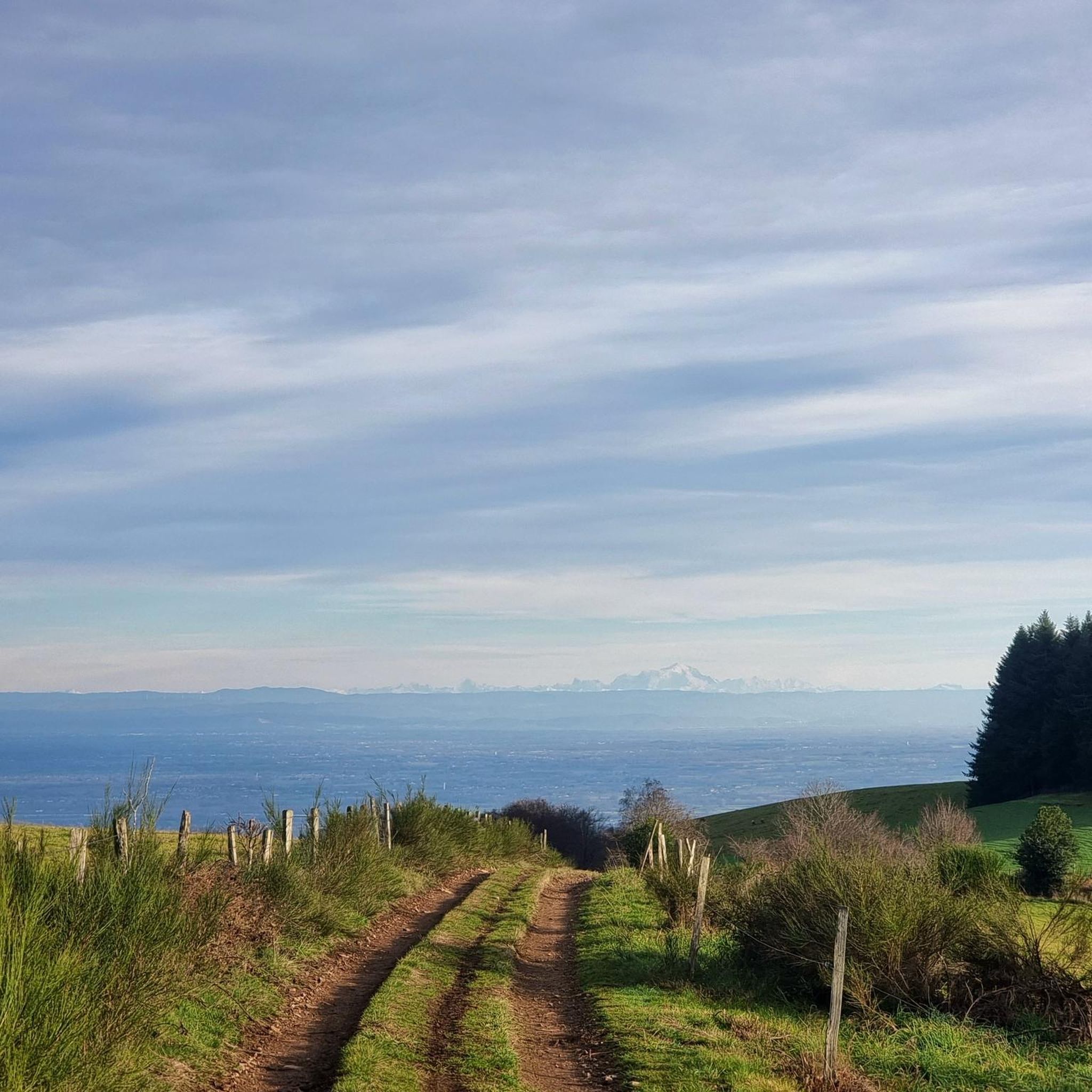
Although the pass is located in France and is not extremely high, its name translates to "Siberia Pass". The name goes back to the often very cold, snow-rich winds and the harsh weather conditions in winter.
1
0
The Col de Durbize is a mountain pass at 550 meters above sea level in the municipality of Chiroubles, in the heart of the Beaujolais wine region. The pass is located in the Massif Central and, as an important road junction (intersection of roads D26, D86, and D18E1), connects surrounding wine villages such as Villié-Morgon and Beaujeu. It is particularly popular with road cyclists and hikers for its panoramic views.
0
0
The lake is located in the Doubs department in the French region of Bourgogne-Franche-Comté at an altitude of around 850 meters. After Lac du Bourget and Lac d'Annecy, it is the third largest natural lake in France. It is a very popular lake for swimming in the summer and offers opportunities for kayaking, windsurfing, and stand-up paddling. There is also a popular hiking trail around the entire lake, approximately 20 kilometers long.
1
0
The Col de Gerbet (612 m) is an idyllic mountain pass in the French wine-growing region of Beaujolais. Depending on the starting point, various roads with little traffic lead up to the pass via the D137. From Juliénas (south-east approach): This route is 7.3 kilometers long. It overcomes 342 meters of altitude with a steady, moderate gradient of 4.7% on average. The road winds through shady forest sections. From La Croix Blanche (west approach): A tougher variant 4.5 kilometers long. Here you conquer 270 meters of altitude with an average gradient of 6% and ramps of up to 11%.
1
0

Since a cross crowning the summit is often found on mountains, the small sacred monument found here – consisting only of the crossbeams, without the body of the crucified Christ – should come as no surprise to bikers. From its prominent location, this Christian symbol of salvation is visible from afar. The builders of the "Croix de Rochefort" certainly also intended to invoke God's blessing on the surrounding land – and especially the people living there. An orientation panel located a little way off explains the landscape to the viewer.
0
0

A perfect complement to the Solutré rock and Mont de Pouilly.
1
0

The 495 m high Rock of Solutré lies in the heart of a nature reserve recognized as a Grand Site de France, comprising Solutré, Pouilly and Vergisson.
0
0

Several paths lead to the summit. A very pretty hike, which can be extended by climbing its big sister, Solutré, for the more athletic.
1
0
Frequently Asked Questions
How many running routes are available around Saint-Jacques-Des-Arrêts?
There are over 160 running routes around Saint-Jacques-Des-Arrêts, offering a wide range of experiences. These include 73 moderate trails and 91 difficult routes, ensuring options for various fitness levels.
What kind of landscapes can I expect on the jogging trails in Saint-Jacques-Des-Arrêts?
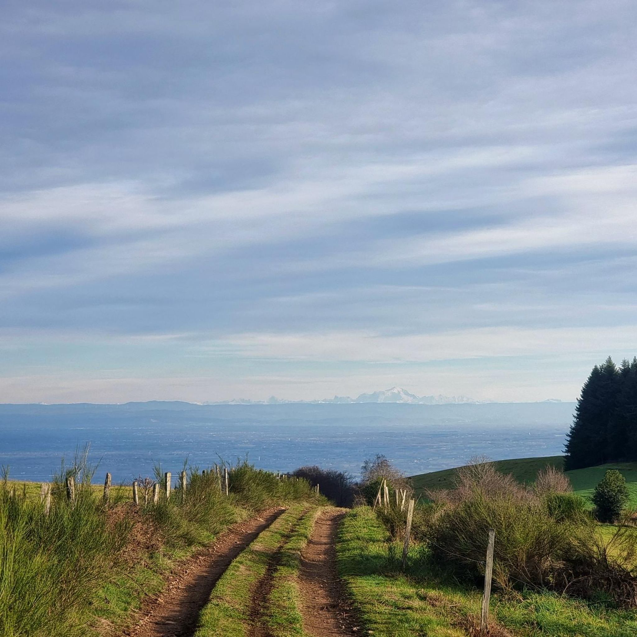
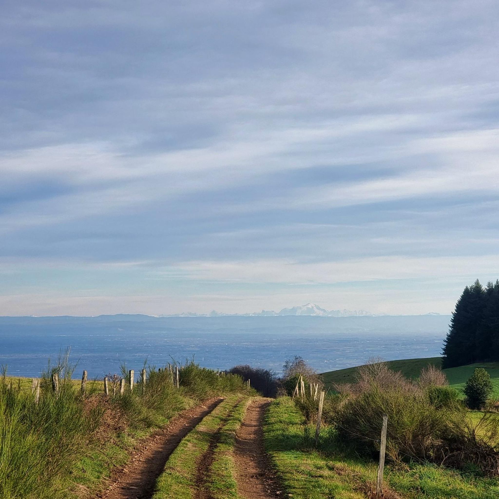
The jogging trails in Saint-Jacques-Des-Arrêts traverse the picturesque landscapes of the Haut-Beaujolais region. You'll experience a harmonious mix of bocage (wooded pastures) and valleys, with routes often winding through verdant pastures. Key features include moorlands and several 'cols' (mountain passes) that provide expansive panoramic views, notably over the magnificent Gosne Orientale valley, and on clear days, even extending to the Alps and the Saône plain.
Are there any family-friendly running routes in the area?
While the guide primarily lists moderate to difficult routes, the region's varied terrain offers opportunities for family outings. Many trails traverse pastures and offer natural settings. For a less strenuous experience, consider exploring shorter sections of marked trails or looking for routes with minimal elevation changes. Always check the route details for distance and elevation to ensure it suits your family's abilities.
Can I bring my dog on the running trails around Saint-Jacques-Des-Arrêts?
Generally, dogs are welcome on many outdoor trails in France, especially in rural areas like Saint-Jacques-Des-Arrêts. However, it's always recommended to keep your dog on a leash, especially when passing through pastures with livestock or in protected natural areas. Please ensure you clean up after your pet to maintain the natural beauty of the trails.
What are some notable landmarks or scenic viewpoints along the running routes?
The region is rich in natural beauty and offers several stunning viewpoints. You can find panoramic vistas from Col de Boubon (638 meters) and Col de la Sibérie (611 or 638 meters). The 'landes au dessus du village' (moorlands above the village) are also known for their beautiful views. Additionally, you might encounter highlights like Roche de Solutré or Vergisson Rock, which are significant natural monuments in the broader area.
What do other runners enjoy most about jogging in Saint-Jacques-Des-Arrêts?
The running routes in Saint-Jacques-Des-Arrêts are highly rated by the komoot community, with an average score of 4.3 stars from over 40 reviews. Reviewers often praise the diverse terrain, the stunning panoramic views from the cols, and the refreshing experience of running through the verdant Haut-Beaujolais landscapes. The variety of routes, from moderate to difficult, also contributes to its popularity among runners.
Are there any circular running routes available?
Yes, many of the running routes around Saint-Jacques-Des-Arrêts are designed as loops. For example, the La Grange du Bois – Col de la Sibérie loop from Cenves is a challenging 22.2 km path featuring expansive views. Another option is the Col de Gerbet – Col de la Sibérie, 638 m loop from Pruzilly, which is a difficult 20.7 km route.
What is the best time of year for running in Saint-Jacques-Des-Arrêts?
Saint-Jacques-Des-Arrêts, with its verdant landscapes, is particularly enjoyable during spring, summer, and early autumn. These seasons offer pleasant temperatures and lush scenery, making for a refreshing and visually stimulating experience. While specific weather conditions vary, avoiding the peak heat of summer midday and checking local forecasts is always advisable.
Are there any easy running routes for beginners?
While many routes are classified as moderate to difficult, beginners can find suitable options by looking for shorter distances and minimal elevation gain. For instance, the Lake Saint-Point – Tramayes loop from Tramayes is a moderate 11 km trail with a manageable elevation gain, often completed in about 1 hour 17 minutes, making it a good choice for those looking for a less strenuous run.
Is there public transport available to Saint-Jacques-Des-Arrêts?
Saint-Jacques-Des-Arrêts is a rural village in the Haut-Beaujolais region. Public transport options might be limited. It is recommended to check local bus schedules or regional transport services for connections to nearby larger towns. Many visitors choose to arrive by car to have more flexibility in exploring the various trailheads.
Where can I find parking for the running trails?
As a rural area, parking is generally available in or near the village center of Saint-Jacques-Des-Arrêts. For specific trailheads, it's advisable to check the starting points of individual routes on komoot, as many will indicate nearby parking areas. Parking is often available in small village squares or designated areas for hikers and outdoor enthusiasts.
Are there any cultural attractions to visit after a run?
Yes, Saint-Jacques-Des-Arrêts offers a unique cultural attraction: the Église de Saint-Jacques-des-Arrêts. This village church houses an unexpected collection of monumental frescoes by the internationally renowned Lyonnaise painter Jean Fusaro. The church is open daily for visitors, providing an interesting cultural experience after your outdoor activity. The village also has historical significance as a stop on the Way of St. James.
Most popular routes around Saint-Jacques-Des-Arrêts
Most popular attractions around Saint-Jacques-Des-Arrêts

Get inspired with the komoot mobile app


Explore more
Browse the best Running Trails & Routes in other regions.
