The 6 Most Amazing Peaks around Saint-Christophe
Best mountain peaks around Saint-Christophe are found in a region characterized by the Beaujolais and Mâconnais mountains, offering diverse terrain for exploration. This area provides access to summits with panoramic views extending across valleys and, on clear days, to the Alps. The landscape features a mix of natural and man-made landmarks, making it suitable for various outdoor activities. Visitors can experience the distinct geography of this part of France, known for its accessible peaks and scenic vistas.
Best mountain peaks…
Last updated: June 24, 2026
Rochefort Cross
Highlight • Monument
Translated by Google •
Tip by

Mount Saint-Rigaud
Highlight • Summit
Translated by Google •
Tip by

Sign up now to discover places like this
Get recommendations on the best single tracks, peaks, & plenty of other exciting outdoor places.
Sign up for free
Mount St. Cyr
Highlight • Summit
Translated by Google •
Tip by

Mont Saint-Cyr
Highlight • Viewpoint
Translated by Google •
Tip by

La Roche d'Ajoux
Highlight • Summit
Translated by Google •
Tip by

Start today with a free account
Your next adventure awaits.
Login or Signup
Tips from the Community

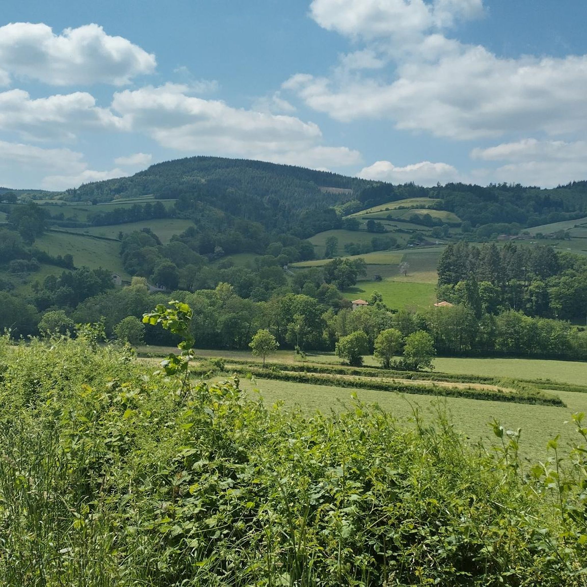
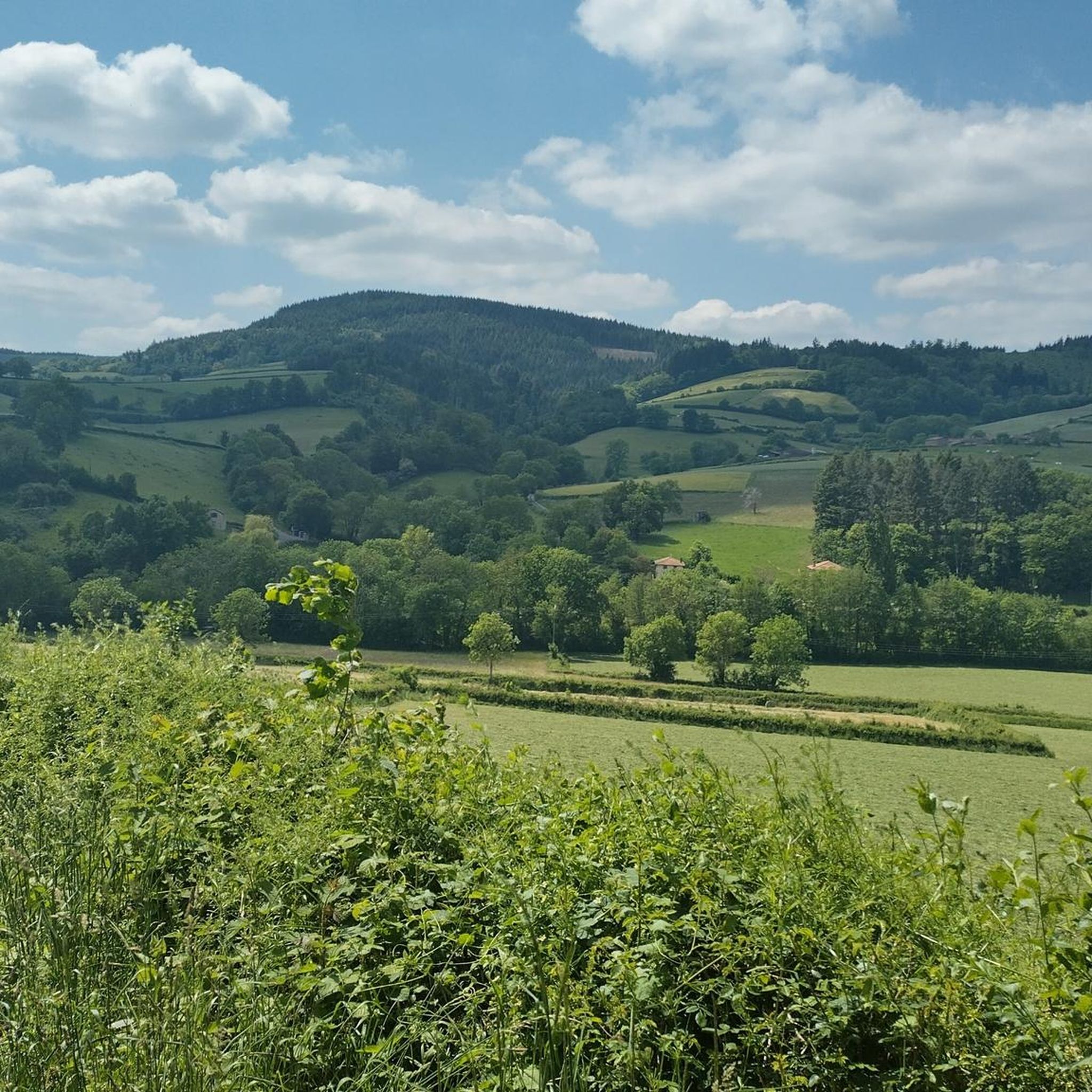
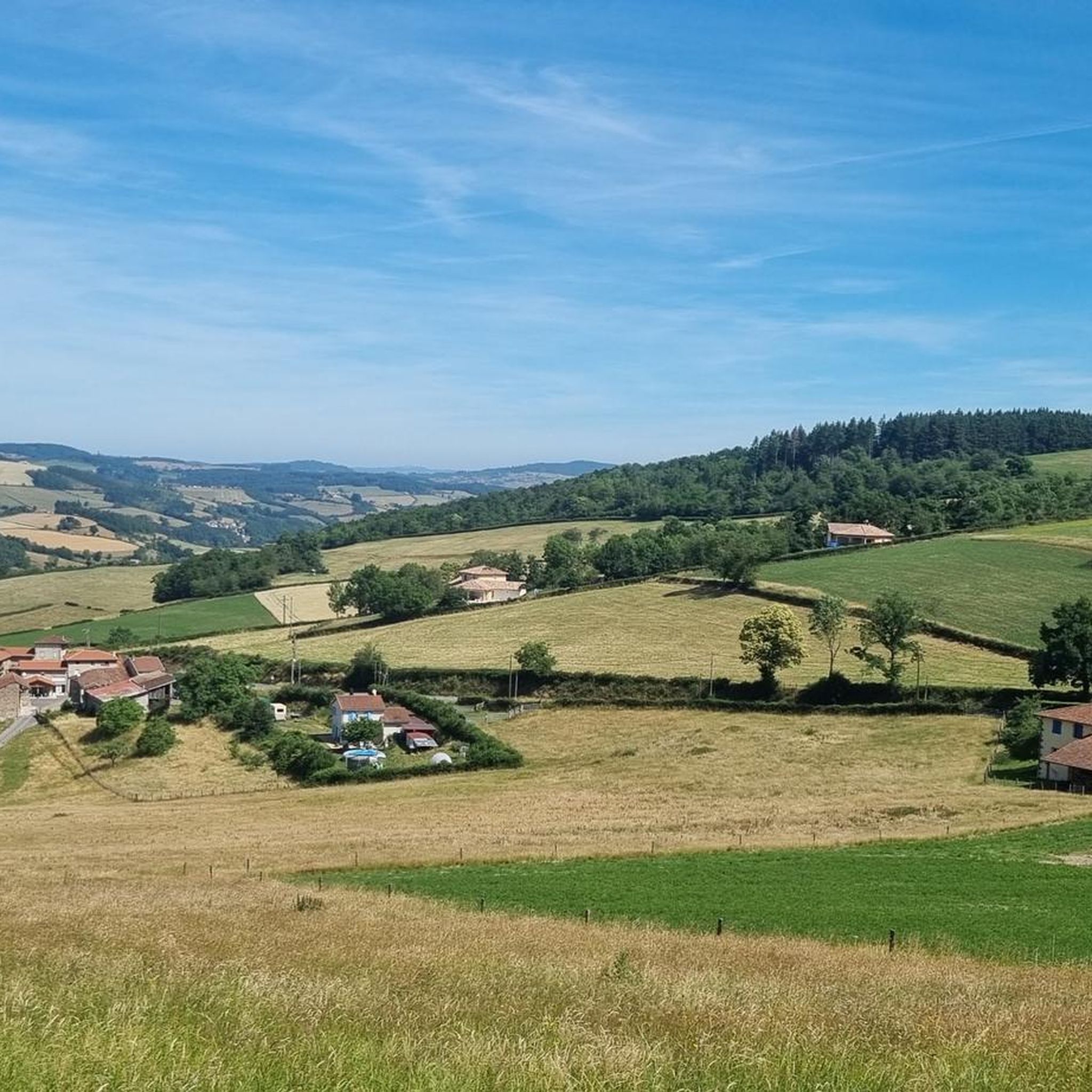
Mont Saint-Cyr is located in southern Burgundy (Saône-et-Loire department) in the municipality of Montmelard and, at 771 meters, is the highest point in the Mâconnais mountains. From the summit, there is a wide panoramic view of the surrounding landscapes of Charolais, Brionnais, and Clunisois. In very clear weather, the view extends eastwards to Mont Blanc in the Alps. On the mountain are the historical remains of a 10th-century monastery, which was destroyed during the Wars of Religion. There is a picnic area in the forest, as well as orientation panels that help identify the surrounding peaks and valleys.
0
0
Mont Saint-Cyr is located in southern Burgundy (Saône-et-Loire department) in the municipality of Montmelard and, at 771 meters, is the highest point of the Mâconnais mountains. From the summit, there is a wide panoramic view of the surrounding landscapes of Charolais, Brionnais, and Clunisois. In very clear weather, the view extends eastwards to Mont Blanc in the Alps. On the mountain are the historical remains of a 10th-century monastery, which was destroyed during the Huguenot Wars. There is a picnic area in the forest as well as orientation panels that are helpful in identifying the surrounding peaks and valleys.
0
0

Mont Saint-Cyr 771 m, the highest point in the Mâconnais mountains with a superb view.
1
0

The roof of the Rhône, beautiful view of the upper Beaujolais
1
0


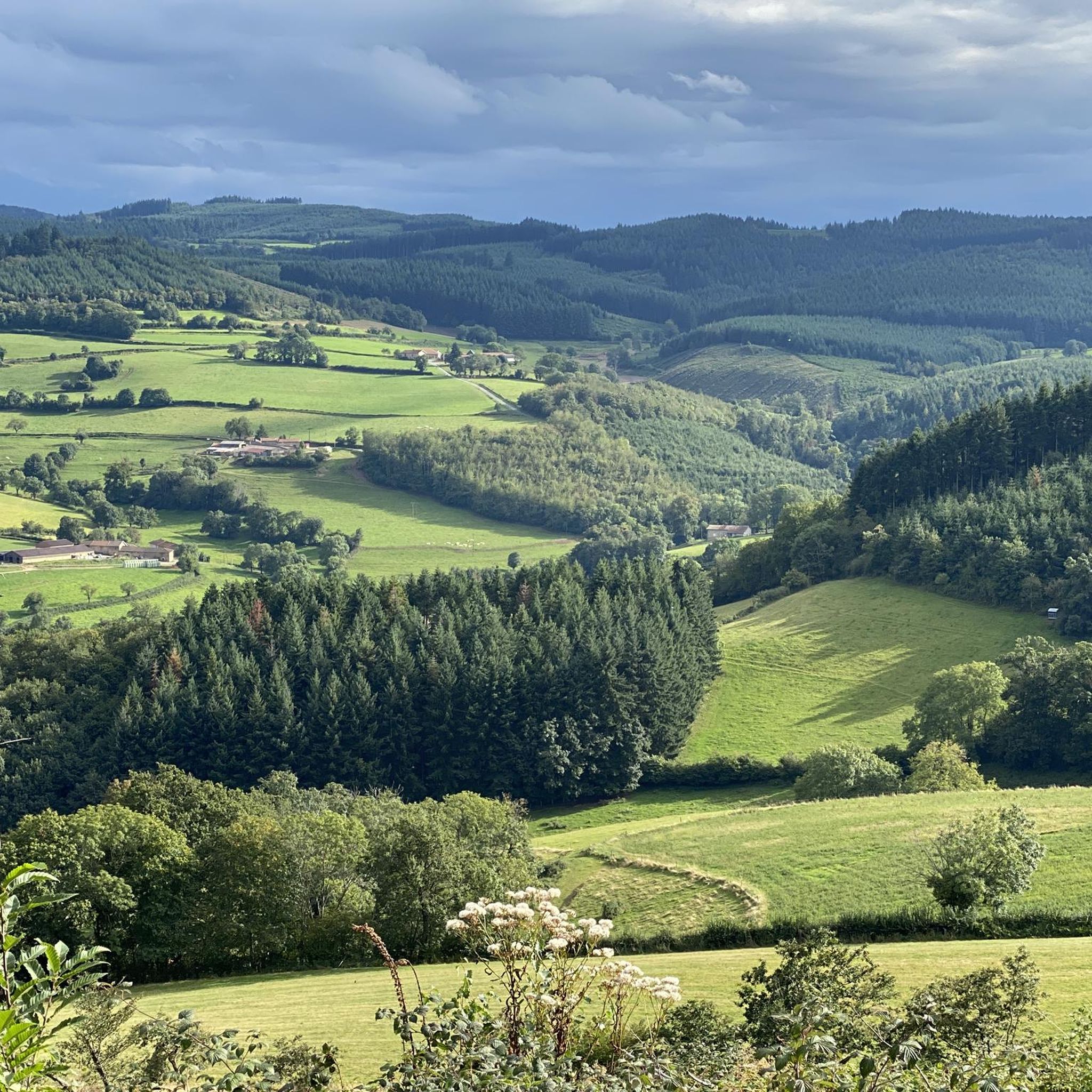
Impressive views over southern Burgundy and Haut-Beaujolais
1
0

Great area for a vacation. We recommend.
2
0
Frequently Asked Questions
What kind of views can I expect from the mountain peaks around Saint-Christophe?
The mountain peaks in the Beaujolais and Mâconnais regions offer extensive panoramic views. From highlights like Rochefort Cross and Mount Saint-Rigaud, you can see the Beaujolais mountains, the Monts d'Or, the Lyonnais mountains, and even the Alps on clear days. La Roche d'Ajoux provides vistas over the Azergues valley, the Forez and Madeleine mountains, and the Charolais.
Are there any family-friendly mountain peaks or trails near Saint-Christophe?
Yes, Mount Saint-Rigaud is noted as family-friendly, offering beautiful views and walks suitable for various ages. Generally, the region's peaks are known for accessible climbs, making them enjoyable for families looking to explore the outdoors.
What are the highest mountain peaks in the Beaujolais and Mâconnais regions near Saint-Christophe?
La Roche d'Ajoux is the second highest peak in the Beaujolais mountains, reaching 970 meters. Mount Saint-Rigaud is another prominent summit in Haut Beaujolais. In the Mâconnais mountains, Mount St. Cyr is the highest point at 771 meters.
What kind of natural features can I expect to see around these mountain peaks?
The region around Saint-Christophe is characterized by diverse terrain, including the Beaujolais and Mâconnais mountains. You'll find summits, viewpoints, and natural monuments. The landscape features forests, valleys like the Azergues, and on clear days, distant views of the majestic Alps, providing a rich natural backdrop for your adventures.
What outdoor activities can I do near the mountain peaks around Saint-Christophe?
Beyond hiking to the peaks, the area offers a variety of outdoor activities. You can find numerous routes for road cycling and general cycling, with options ranging from moderate to difficult. For hikers, there are trails like the 'Mont Saint-Rigaud' loop or 'The four mountains' route. Explore more options on the Hiking around Saint-Christophe, Road Cycling Routes around Saint-Christophe, and Cycling around Saint-Christophe guide pages.
Are there any specific hiking trails to recommend for moderate difficulty around Saint-Christophe?
Yes, for moderate hikes, consider the 'Mont Saint-Rigaud' trail, which is about 15.4 km long, or 'The four mountains' route, spanning approximately 14.5 km. These trails offer a good balance of challenge and scenic rewards.
What do visitors enjoy most about the mountain peaks near Saint-Christophe?
Visitors particularly enjoy the superb panoramic views from the summits, which often extend to the Alps on clear days. The diverse landscapes, opportunities for beautiful walks, and the sense of achievement from reaching viewpoints like Mount St. Cyr are frequently highlighted. The region's accessible nature also makes it popular for various outdoor enthusiasts.
Are there any man-made monuments or religious sites on the peaks?
Yes, Rochefort Cross is a notable man-made monument and religious building located on a summit, offering a superb panorama. Mount Saint-Rigaud also features a man-made monument at its summit.
What is the best time to visit the mountain peaks around Saint-Christophe?
While specific seasonal weather tips are not provided, the ability to see the Alps from the peaks is often mentioned as being 'in good weather' or 'when the weather allows it.' This suggests that clear, dry days, typically found in spring, summer, and early autumn, would offer the best conditions for panoramic views and comfortable hiking.
Are there any easy mountain hikes suitable for beginners near Saint-Christophe?
For an easier option, the 'Col de Crie, 622 m – View of Les Ardillats loop from Monsols' is an easy hike of approximately 5.3 km. This allows beginners to enjoy the mountain environment without extensive difficulty.
Can I find longer or more challenging cycling routes near the mountain peaks?
Yes, for more challenging cycling, routes like 'Col du Fût d'Avenas – Chiroubles Terrace loop from Monsols' (41 km) and 'Col de Crie, 622 m – Mount Saint-Rigaud loop from Monsols' (31.5 km) are available. These are categorized as difficult and offer a good workout with scenic rewards.
Where can I find trailheads for hiking in the Saint-Christophe mountain region?
Many hiking routes, such as the 'Mont Saint-Rigaud' trail, often start from towns or villages in the vicinity, like Monsols or Germolles-sur-Grosne, which serve as common access points to the Beaujolais and Mâconnais mountains. Specific trailhead parking information would typically be found on individual route descriptions.
Most popular routes around Saint-Christophe
Most popular attractions around Saint-Christophe

Get inspired with the komoot mobile app


Explore more
See even more amazing summits around Saint-Christophe with these guides:
