The best road cycling routes around Ardin
4.3
(20)
519
riders
94
rides
Road cycling routes around Ardin traverse a landscape characterized by a rolling landform and varied terrain. The region features narrow, meandering river valleys, such as those of the Sèvre Niortaise, offering scenic routes along waterways. Geologically diverse, the area provides a mix of surfaces and gradients suitable for road cycling. This topography ensures a range of experiences, from gentle riverside paths to routes with notable elevation changes.
Best road cycling routes around Ardin
- The most popular road cycling route is…
Last updated: July 2, 2026
4.5
(6)
84
riders
Moderate road ride. Good fitness required. Some segments of this route may be unpaved and difficult to ride.
5.0
(1)
13
riders
61.7km
02:43
460m
460m
Moderate road ride. Good fitness required. Mostly well-paved surfaces and easy to ride.

Sign up for free
8
riders
59.8km
02:25
220m
220m
Moderate road ride. Good fitness required. Some segments of this route may be unpaved and difficult to ride.
16
riders
51.8km
02:18
320m
320m
Moderate road ride. Good fitness required. Mostly well-paved surfaces and easy to ride.
4
riders
51.6km
02:03
250m
250m
Moderate road ride. Good fitness required. Mostly well-paved surfaces and easy to ride.
Get access to more routes and recommendations from other explorers.
Sign up for free
Already have an account?
Our route recommendations are based on thousands of hikes, rides, and runs completed by other people on komoot.
Start today with a free account
Your next adventure awaits.
Login or Signup
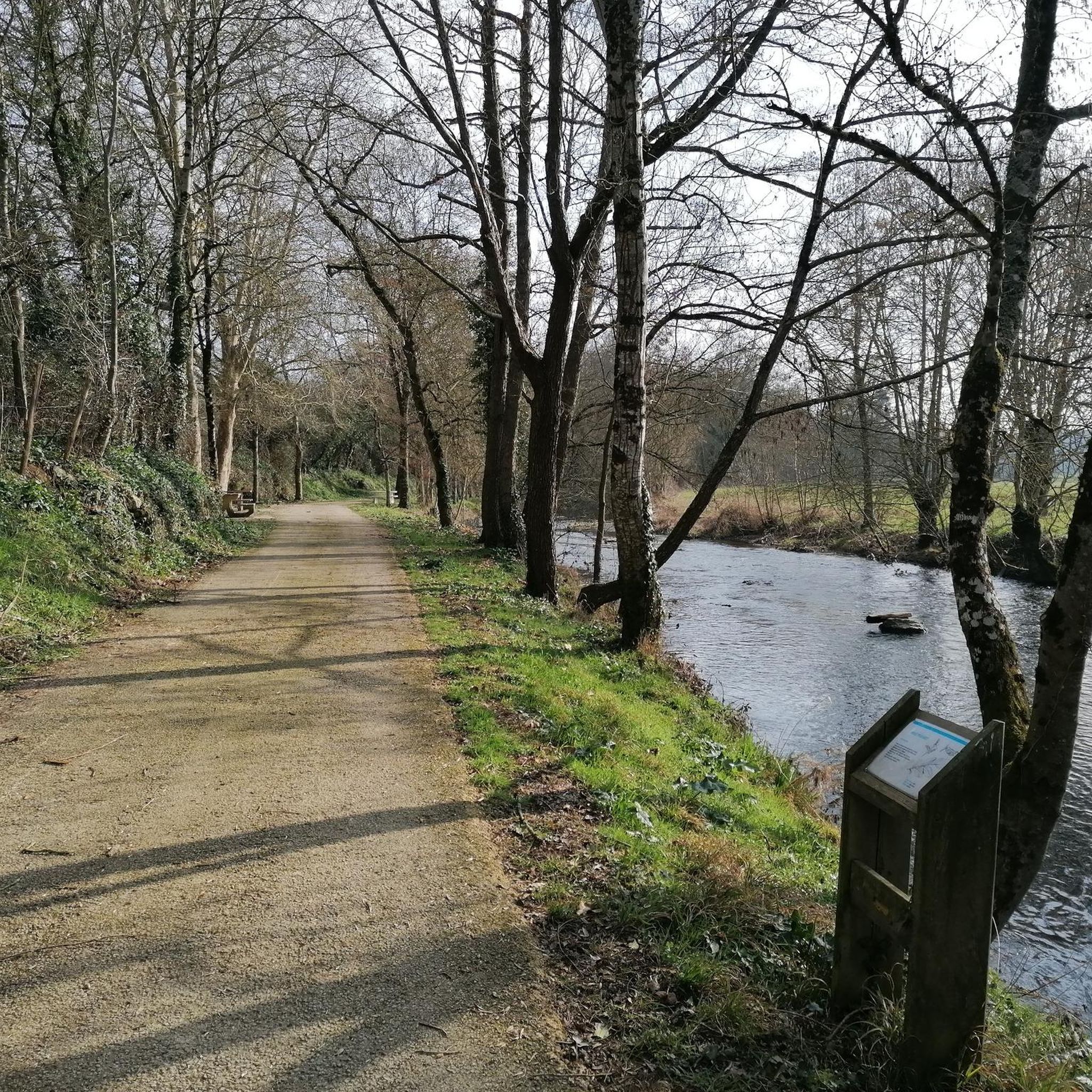
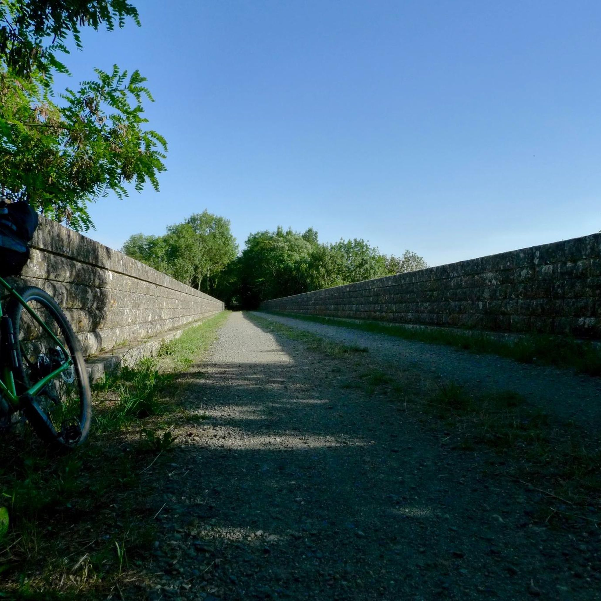

Tips from the Community

Le château de La Taillée is a private property listed as a historical monument. It is strongly linked to Echiré. In 1763, the lord of La Taillée collected bridge tolls by concession from the King. In the construction and development of the commune, the château de la Taillée played an important role. Indeed, two of its descendants were mayors of this commune. It was in 1891 that a first workshop for processing butter and cereals was set up by the Comte Du Dresnay on his estate of La Taillée in an old mill on the Sèvre. This workshop would later become the Echiré dairy. Le château de la Taillée, built in dressed stone in the Henri IV – Louis XIII style, was erected in one go at the beginning of the 17th century. Three dates are engraved in the stone: 1636, on the north facade, 1639 on the south side of the porch, 1642 on the west dovecote. The two dovecotes have been recently restored.
0
0

Beautiful gravel hike all around
2
0

The Church of the Immaculate Conception was built at the end of the 19th century. In 1889, the village of Mazeau separated from the commune of St Sigismond. The construction of a church completed the emancipation of the community. Three difficult financing plans followed, in April 1890, June 1892 and February 1893. Restrictions on the initial project of the Fontenay architect Filuzeau were imposed. The plan no longer provided for a possible contribution from the state. The church was therefore financed solely by the Mazéens through a loan and the sale of wood. From 1890, the financing plan ruled out the project of building a presbytery. Work did not begin until the spring of 1897. On January 26, 1898, the archbishop signed the certificate of authenticity of the relic of the Cross kept in the church of Mazeau. On December 8, 1898, for the Feast of the Immaculate Conception, the parish church was blessed by Father Ménard, superior of Saint Joseph of Fontenay-le-Comte, assisted by five other priests.
0
0


I went there quickly at the beginning of April, the entrance was prohibited and closed
0
0


This attractive metal structure bridge dates from 1901. It rises so as to let the boats pass which, in the past, took the river to Marans to transport foodstuffs.
2
0
Frequently Asked Questions
How many road cycling routes are available in Ardin?
Ardin offers a wide selection of road cycling routes, with over 90 different tours available. These routes cater to various skill levels, from easy rides to more challenging paths.
What kind of terrain can I expect on road cycling routes around Ardin?
Road cycling routes around Ardin feature a diverse landscape characterized by a rolling landform and varied terrain. You'll encounter narrow, meandering river valleys, such as those of the Sèvre Niortaise, offering scenic routes along waterways. The area's geological diversity provides a mix of surfaces and gradients, ensuring a range of experiences from gentle riverside paths to routes with notable elevation changes.
Are there routes suitable for beginners or families in Ardin?
Yes, Ardin has several road cycling routes suitable for beginners or those looking for an easier ride. There are 33 easy routes available, offering gentler gradients and manageable distances. For example, the St Pompain – Saint Maxire loop from Saint-Pompain is an easy 24.6-mile (39.7 km) path with moderate elevation.
Are there challenging road cycling routes for experienced cyclists in Ardin?
Absolutely. For experienced cyclists seeking a challenge, Ardin offers routes with significant elevation gain and longer distances. There are 3 difficult routes and 62 moderate routes that provide more demanding terrain. A notable example is the Steep climb in Mervent — 21% – Mervent Dam loop from Coulonges-sur-l'Autize, a 35.5-mile (57.1 km) route that includes a significant climb towards the Mervent Dam.
What do other cyclists say about the road cycling routes in Ardin?
The road cycling routes in Ardin are highly regarded by the komoot community, holding an average rating of 4.4 stars from over 10 reviews. More than 400 road cyclists have used komoot to explore the varied terrain, often praising the scenic river valleys and the diverse range of routes available for different ability levels.
Are there scenic road cycling routes in Ardin?
Many routes in Ardin are known for their scenic beauty, particularly those that follow the region's narrow, meandering river valleys like the Sèvre Niortaise. These paths often wind through picturesque landscapes, offering views of woodlands and historic areas. The Magné metal drawbridge – Damvix Village and Riverside loop from Champbertrand is a popular choice for its blend of riverside scenery and village passages.
Can I find loop road cycling routes in Ardin?
Yes, many of the road cycling routes in Ardin are designed as loops, allowing you to start and end your ride in the same location. Examples include the Damvix Village and Riverside – Coulon – The Sèvre Niortaise loop from Champbertrand, which takes you through river valleys and villages, and the Coulonges-sur-l'Autize – Allonne loop from Coulonges-sur-l'Autize.
What attractions can I see along road cycling routes in Ardin?
While cycling around Ardin, you can explore several interesting attractions. Highlights include the impressive Viaduct over the Autise, the charming Foussais-Payré, a small town of character, and the historic Coudray-Salbart Castle. You might also encounter the unique Le Mursay Chain Ferry Crossing.
How long do road cycling routes typically take in Ardin?
The duration of road cycling routes in Ardin varies depending on the distance and difficulty. Many popular moderate routes, such as the Magné metal drawbridge – Damvix Village and Riverside loop from Champbertrand (37.6 miles / 60.5 km), can be completed in about 2 hours 29 minutes. Longer routes, like the Damvix Village and Riverside – Coulon – The Sèvre Niortaise loop from Champbertrand (39.5 miles / 63.5 km), typically take around 2 hours 33 minutes.
Can I download GPX tracks for road cycling routes in Ardin?
Yes, for all road cycling routes available on komoot, you can download GPX tracks. This allows you to navigate the routes using your preferred GPS device or cycling computer, ensuring you stay on track and can follow the planned itinerary seamlessly.
What is the best time of year for road cycling in Ardin?
While specific data for Ardin isn't provided, generally, the best time for road cycling in regions with varied terrain like Ardin is during the spring and autumn months. These seasons typically offer milder temperatures and pleasant weather conditions, making for more comfortable rides. Summer can also be enjoyable, though it may be warmer, while winter might present colder temperatures and potentially less favorable road conditions.
Are there cafes or places to stop for refreshments along the routes?
While specific cafes are not detailed in the route information, many road cycling routes in Ardin pass through villages and historic districts. These areas often provide opportunities to stop for refreshments, snacks, or a meal. Planning your route in advance and checking local amenities in towns like Foussais-Payré can help you identify suitable stops.
Most popular attractions around Ardin

Get inspired with the komoot mobile app


Explore more
Browse the best Road cycling routes in other regions.
