The best walks and hikes around Saint-Bonnet-Des-Bruyères
4.5
(297)
1,359
hikers
143
hikes
Hiking trails around Saint-Bonnet-Des-Bruyères traverse a landscape characterized by rolling hills, dense woodlands, and open countryside. The region features several notable hills, including Montagne de Saint-Cyr and Mont Saint-Rigaud, offering varied elevations. Valleys and streams often accompany these routes, providing diverse natural environments for exploration. The area's terrain is suitable for a range of hiking experiences, from gentle walks to more challenging ascents.
Best hiking trails around Saint-Bonnet-Des-Bruyères
- The most popular hiking route is Montagne de Saint-Cyr Loop from Matour…
Last updated: July 3, 2026
4.0
(1)
3
hikers
16.2km
04:55
530m
530m
Hike the moderate 10.1-mile Montagne de Saint-Cyr loop from Matour for panoramic views and diverse forest and meadow terrain.
4.4
(7)
48
hikers
11.4km
03:28
400m
400m
Moderate hike. Good fitness required. Easily-accessible paths. Suitable for all skill levels.

Sign up for free
4.7
(7)
19
hikers
7.32km
02:13
260m
260m
Moderate hike. Good fitness required. Easily-accessible paths. Suitable for all skill levels.
5.0
(6)
17
hikers
8.47km
02:31
250m
250m
Moderate hike. Good fitness required. Easily-accessible paths. Suitable for all skill levels.
4.3
(3)
12
hikers
5.62km
01:34
110m
110m
Easy hike. Great for any fitness level. Easily-accessible paths. Suitable for all skill levels.
Get access to more routes and recommendations from other explorers.
Sign up for free
Already have an account?
Our route recommendations are based on thousands of hikes, rides, and runs completed by other people on komoot.
Start today with a free account
Your next adventure awaits.
Login or Signup
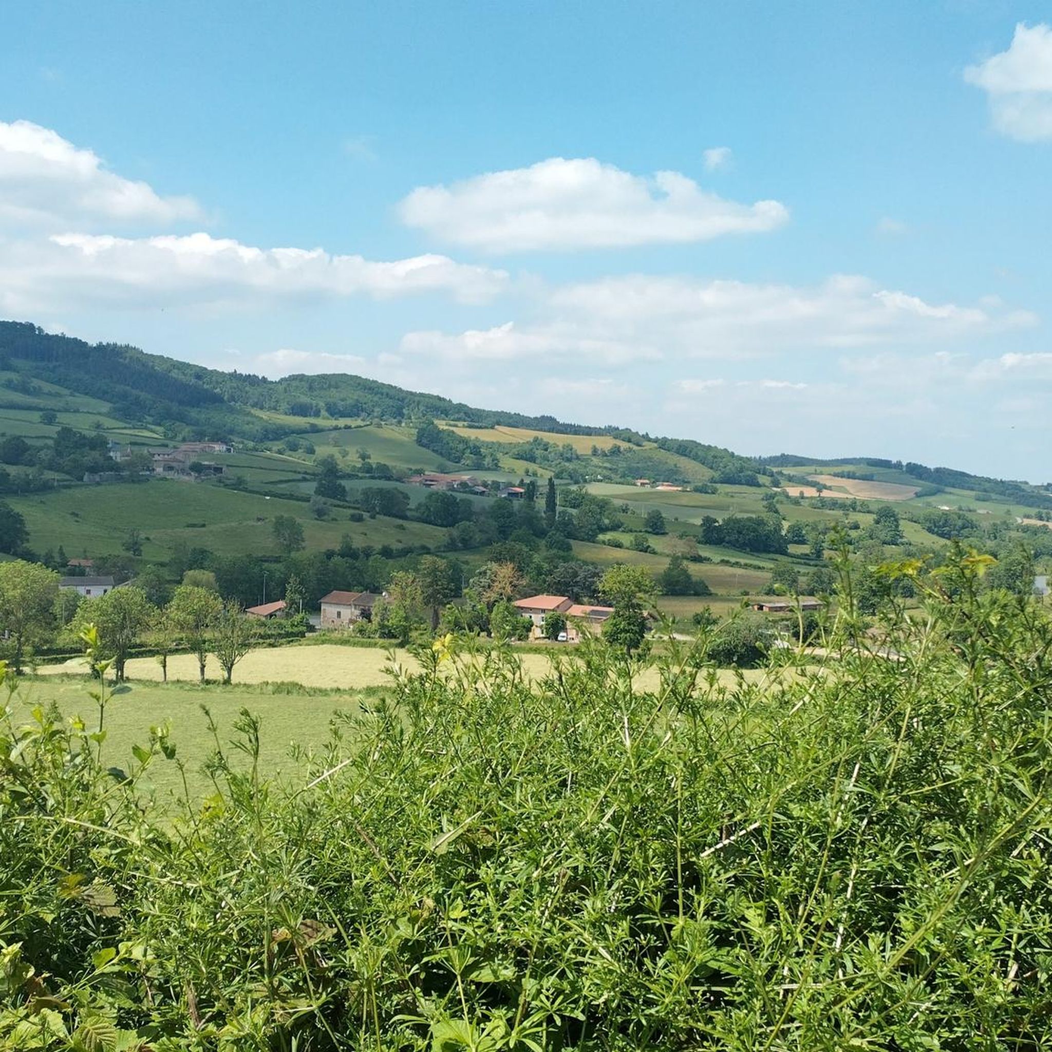
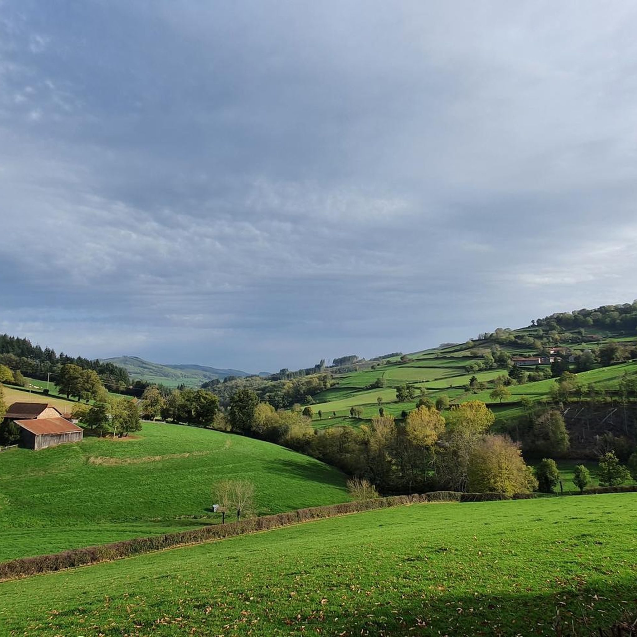
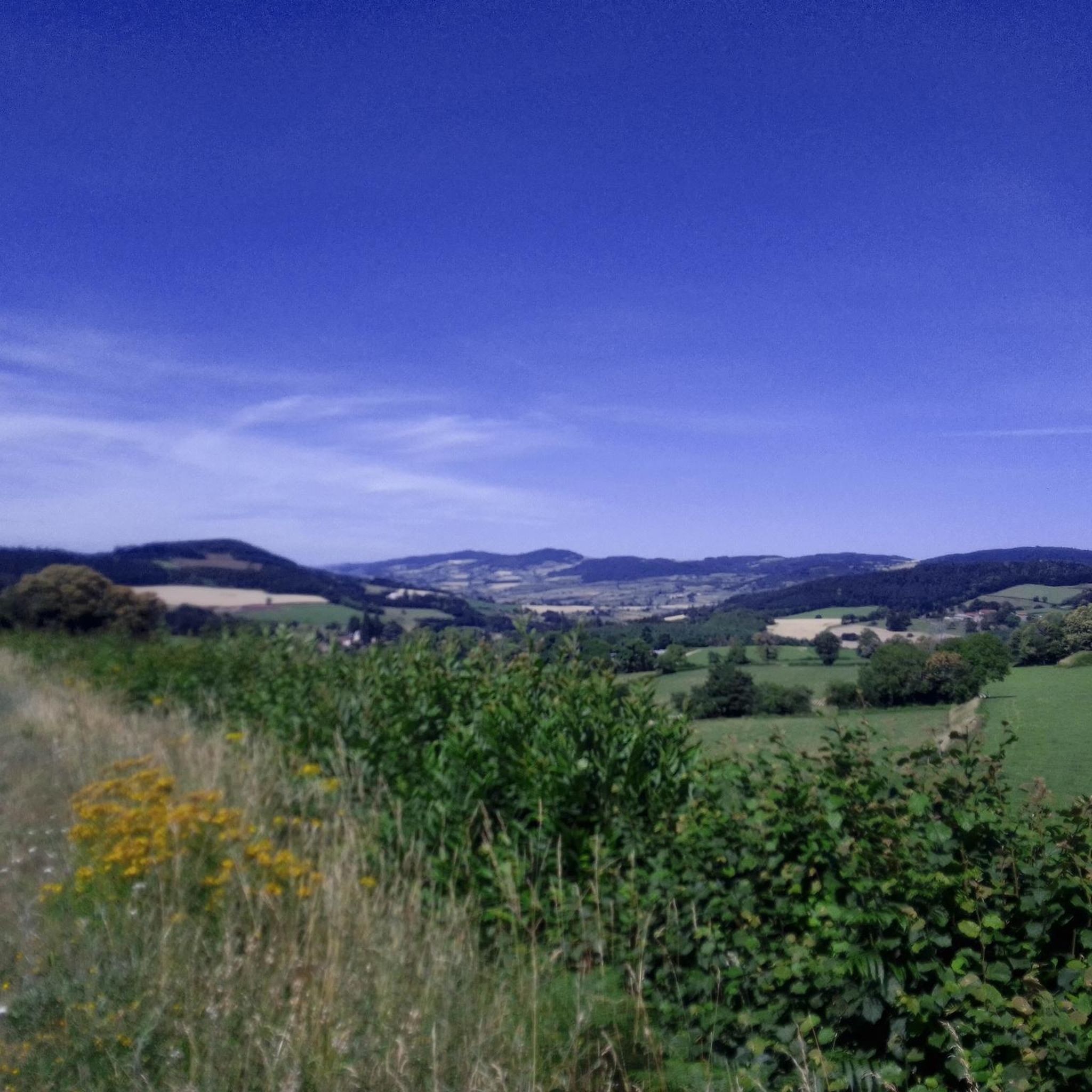
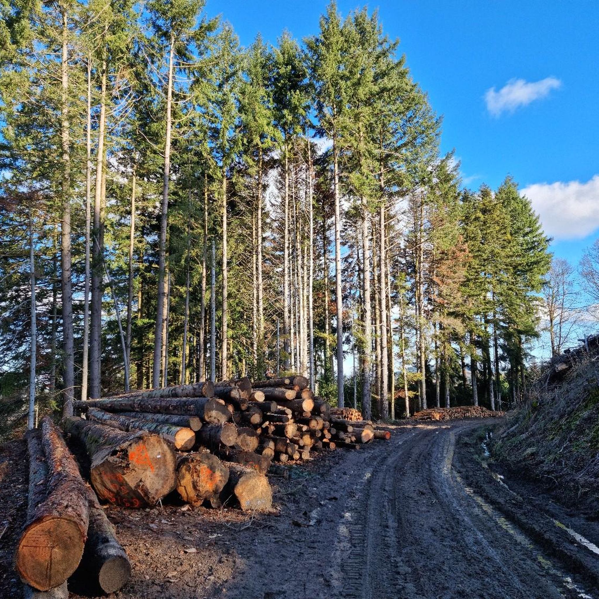
Tips from the Community

Imposing historic viaduct of a former railway line, built in 1909. The structure has a height of 27 meters and spans the Monsols valley. Today it is a popular destination for hiking and cycling tours.
0
0
Mont Saint-Cyr is located in southern Burgundy (Saône-et-Loire department) in the municipality of Montmelard and, at 771 meters, is the highest point in the Mâconnais mountains. From the summit, there is a wide panoramic view of the surrounding landscapes of Charolais, Brionnais, and Clunisois. In very clear weather, the view extends eastwards to Mont Blanc in the Alps. On the mountain are the historical remains of a 10th-century monastery, which was destroyed during the Wars of Religion. There is a picnic area in the forest, as well as orientation panels that help identify the surrounding peaks and valleys.
0
0
Mont Saint-Cyr is located in southern Burgundy (Département Saône-et-Loire) in the municipality of Montmelard and, at 771 meters, is the highest point in the Mâconnais mountains. From the summit, there is a wide panoramic view of the surrounding landscapes of Charolais, Brionnais, and Clunisois. In very clear weather, the view to the east even extends to Mont Blanc in the Alps. On the mountain are the historical remains of a 10th-century monastery that was destroyed during the Huguenot Wars. There is a picnic area in the forest, as well as orientation panels that are helpful in identifying the surrounding peaks and valleys.
0
0
Mont Saint-Cyr is located in southern Burgundy (Saône-et-Loire department) in the municipality of Montmelard and, at 771 meters, is the highest point of the Mâconnais mountains. From the summit, there is a wide panoramic view of the surrounding landscapes of Charolais, Brionnais, and Clunisois. In very clear weather, the view extends eastwards to Mont Blanc in the Alps. On the mountain are the historical remains of a 10th-century monastery, which was destroyed during the Huguenot Wars. There is a picnic area in the forest as well as orientation panels that are helpful in identifying the surrounding peaks and valleys.
0
0

Mont Saint-Cyr 771 m, the highest point in the Mâconnais mountains with a superb view.
1
0

This old railway line is magnificent, all this work for having only been used for a few years.
1
0
very nice point for recollection and meditation
0
0
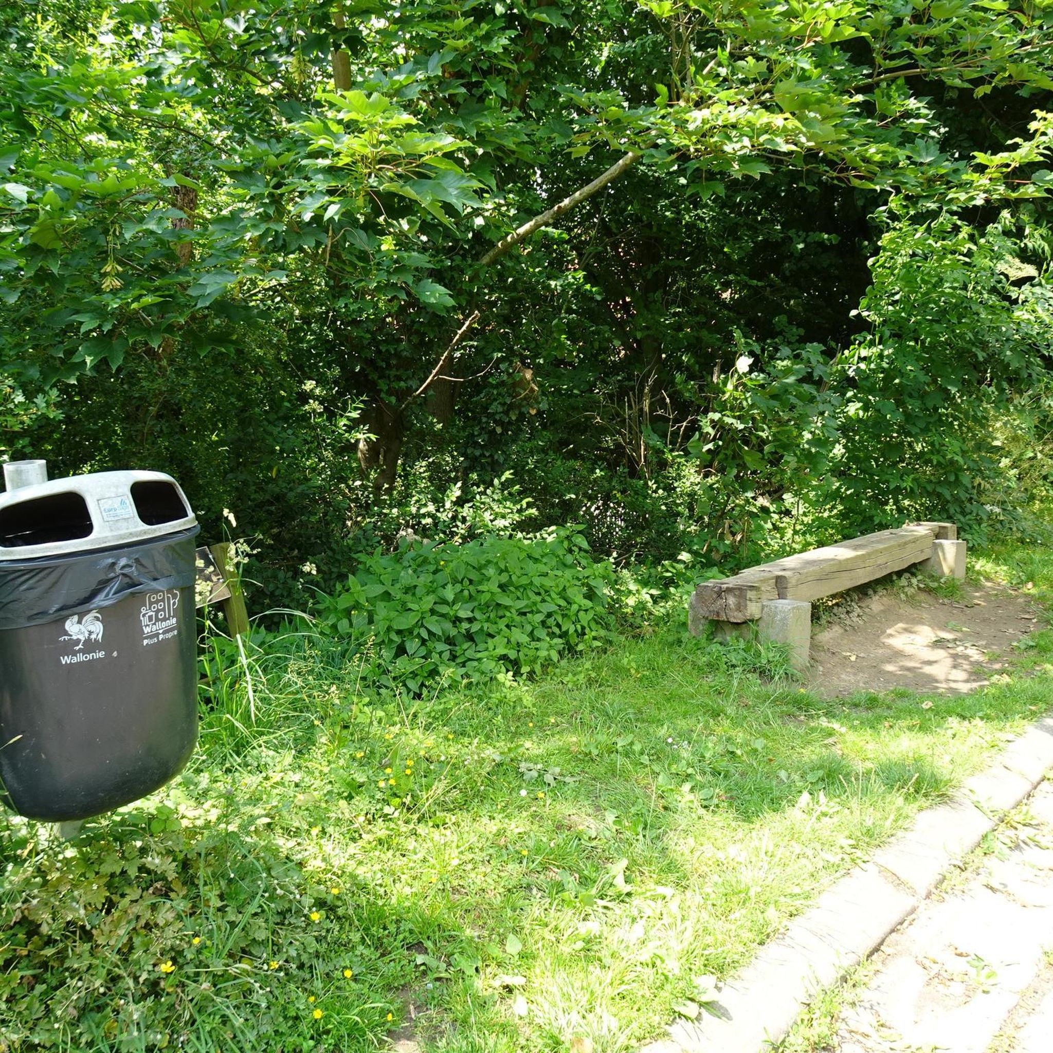
cabin in the woods, shame it's not maintained
1
0
Frequently Asked Questions
How many hiking trails are available around Saint-Bonnet-Des-Bruyères?
There are over 140 hiking trails in the Saint-Bonnet-Des-Bruyères region, offering a wide variety of options for all skill levels. This includes 43 easy routes, 85 moderate routes, and 17 more challenging trails.
Are there easy hiking trails suitable for beginners or families?
Yes, Saint-Bonnet-Des-Bruyères offers several easy trails perfect for beginners or families. One such route is The Châtelard viaduct – Nice one loop from Monsols, which is 3.7 miles (6 km) long and features gentle terrain, making it an enjoyable walk for all ages.
What kind of natural landmarks or attractions can I see while hiking?
The region is characterized by rolling hills and offers several notable peaks. You can explore summits like Mount Saint-Rigaud, Mount Dun, or Mount St. Cyr. Many trails also pass through dense woodlands and scenic valleys.
Are there any historical sites or points of interest along the trails?
Yes, some trails incorporate historical elements. For instance, The Châtelard viaduct – Cabin in the woods loop from Mont Saint-Rigaud leads through wooded areas and past the historic Châtelard viaduct, offering a glimpse into the region's past.
What is the best time of year to go hiking in Saint-Bonnet-Des-Bruyères?
The best time to hike in Saint-Bonnet-Des-Bruyères is typically from spring to autumn (April to October). During these months, the weather is generally mild and pleasant, and the landscapes are vibrant with greenery or autumn colors. Summer offers longer daylight hours, while spring and autumn provide cooler temperatures ideal for longer excursions.
Is winter hiking possible in this region?
Winter hiking is possible, but conditions can vary. While some lower-elevation trails might remain accessible, higher areas, especially around peaks like Mont Saint-Rigaud, could experience snow or ice. It's advisable to check local weather forecasts and trail conditions before heading out and to be equipped with appropriate winter gear.
Are there any circular hiking routes available?
Yes, many routes in the area are circular, allowing you to start and end at the same point. A popular example is the Montagne de Saint-Cyr Loop from Matour, which offers scenic views and returns you to your starting location.
Where can I find parking for trailheads?
Parking is generally available near the starting points of many popular trails, especially in or near villages like Matour or Monsols. Specific parking information is often detailed on individual route pages on komoot, so it's recommended to check the tour details for your chosen hike.
Are dogs allowed on the trails around Saint-Bonnet-Des-Bruyères?
Most trails in the Saint-Bonnet-Des-Bruyères region are dog-friendly, allowing you to enjoy the outdoors with your canine companion. However, it's always best to keep dogs on a leash, especially in areas with livestock or wildlife, and to respect local regulations and private property signs.
What do other hikers say about the trails in Saint-Bonnet-Des-Bruyères?
The hiking trails around Saint-Bonnet-Des-Bruyères are highly rated by the komoot community, with an average score of 4.5 stars from over 270 reviews. Hikers often praise the diverse terrain, the peaceful woodlands, and the scenic views from the rolling hills, making it a rewarding experience for many.
Are there any longer, more challenging hikes for experienced hikers?
For experienced hikers seeking a challenge, the region offers several longer routes with significant elevation changes. The Montagne de Saint-Cyr Loop from Matour, at 10.1 miles (16.2 km) with over 500 meters of ascent, is a moderate yet demanding option that provides extensive views and varied terrain.
Are there opportunities for wild swimming near the hiking routes?
While the region features streams and small bodies of water, designated wild swimming spots are not commonly highlighted along the main hiking trails. For safety and environmental reasons, it's always best to check local regulations regarding swimming in natural waters and to prioritize marked and safe areas if available.
Most popular routes around Saint-Bonnet-Des-Bruyères
Most popular attractions around Saint-Bonnet-Des-Bruyères

Get inspired with the komoot mobile app


Explore more
Browse the best Hikes in other regions.
