The best walks and hikes around La Voivre
4.6
(1133)
5,439
hikers
265
hikes
Hiking around La Voivre offers routes through a landscape characterized by dense woodlands, varied rock formations, and historical ruins. The terrain includes moderate ascents and descents, leading to elevated viewpoints. This region provides a mix of natural features and cultural points of interest for hikers.
Best hiking trails around La Voivre
- The most popular hiking route is Access to the Ruins – High Rock loop from Moyenmoutier, a 6.3 miles (10.1 km) trail that takes 3 hours 10 minutes…
Last updated: July 5, 2026
4.2
(15)
71
hikers
10.0km
03:09
380m
380m
Moderate hike. Good fitness required. Easily-accessible paths. Suitable for all skill levels.
4.9
(12)
39
hikers
11.4km
03:18
300m
300m
Moderate hike. Good fitness required. Easily-accessible paths. Suitable for all skill levels.

Sign up for free
4.4
(10)
91
hikers
18.3km
05:23
500m
500m
Hard hike. Very good fitness required. Easily-accessible paths. Suitable for all skill levels.
4.7
(6)
34
hikers
13.4km
04:01
390m
390m
Moderate hike. Good fitness required. Mostly accessible paths. Sure-footedness required.
4.8
(15)
47
hikers
Moderate hike. Great for any fitness level. Mostly accessible paths. Sure-footedness required.
Get access to more routes and recommendations from other explorers.
Sign up for free
Already have an account?
Our route recommendations are based on thousands of hikes, rides, and runs completed by other people on komoot.
Start today with a free account
Your next adventure awaits.
Login or Signup



Tips from the Community

Very beautiful rock and viewpoint.
0
0

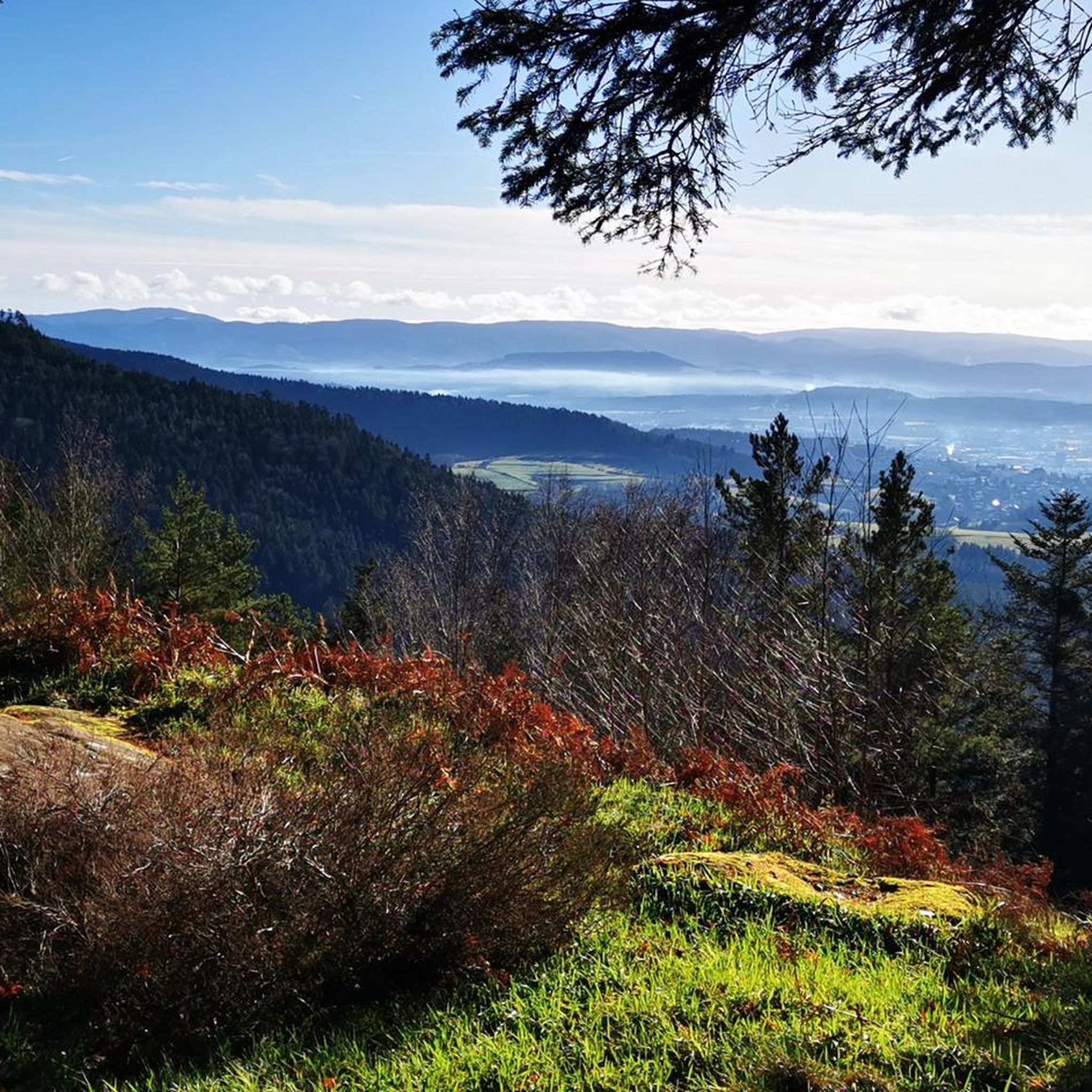
La Pierre d'Appel is located in the Côte de Repy, above Etival Clairefontaine and offers a view of both the Meurthe valley up to St Dié and the Rabodeau valley.
0
0

Tête de Répy is one of the many wooded peaks in the Madeleine massif. Well known to hikers, it offers beautiful views over the Meurthe valley and the Vosges mountains.
0
0
The Pierre d’Appel is a rock located on the Madeleine massif, above Saint-Dié-des-Vosges. It was once used as a gathering place and signal point, hence its name. This promontory offers a beautiful view over the Meurthe valley while being situated in a typical Vosges forest environment, peaceful and steeped in local traditions.
0
0


A beautiful and old sandstone cross gives the square its name. Several paths meet here. There are several places to sit and two picnic tables on the spacious square. There is also a small parking area for people who are not so good at walking.
1
0
Frequently Asked Questions
How many hiking trails are available in La Voivre?
La Voivre offers a wide variety of hiking experiences, with over 250 routes available. These include options for all skill levels, from easy strolls to more challenging treks.
Are there easy hiking trails suitable for beginners in La Voivre?
Yes, La Voivre has approximately 74 easy hiking trails, perfect for beginners or those looking for a relaxed walk. These routes typically feature gentle terrain and shorter distances, allowing you to enjoy the natural beauty without significant effort.
What is the typical duration of hikes in La Voivre?
Hikes in La Voivre vary in length and duration. Many popular routes, like the Access to the Ruins – High Rock loop from Moyenmoutier, take around 3 hours to complete. Longer, more challenging trails can extend to 5-6 hours or more, such as the High Rock – Roche Mère Henry loop from Moyenmoutier.
Are there family-friendly hiking options in La Voivre?
While specific 'family-friendly' designations aren't always explicit, many of the easy and moderate trails in La Voivre are suitable for families. Look for routes with shorter distances and less elevation gain to ensure an enjoyable experience for all ages. The region's woodlands and historical sites offer engaging points of interest for children.
What kind of terrain can I expect on the hiking trails in La Voivre?
The terrain in La Voivre is characterized by dense woodlands, varied rock formations, and historical ruins. You can expect a mix of moderate ascents and descents, leading to elevated viewpoints. Trails often traverse through forests, offering a natural and immersive experience.
What interesting landmarks or natural features can I see along the hiking trails?
La Voivre's trails are rich with points of interest. You can discover historical sites like the La Bure Celtic Camp or the Trail of the Hamlets Fallen for France – La Fontenelle. Natural highlights include viewpoints like Dry Fir Rock and La Roche Saint-Martin and View of Saint-Dié, as well as unique rock formations such as Roche des Abris and The Calling Stone.
Are there any challenging hiking routes for experienced hikers?
Yes, for experienced hikers seeking a challenge, La Voivre offers approximately 28 difficult routes. An example is The Calling Stone – Cup-marked Rock loop from Étival-Clairefontaine, which covers over 18 km with significant elevation changes, providing a demanding and rewarding experience.
What do other hikers enjoy most about hiking in La Voivre?
The hiking trails in La Voivre are highly rated by the komoot community, with an average score of 4.5 stars from over 900 reviews. Hikers often praise the region's dense woodlands, varied rock formations, and the presence of historical sites, which offer a unique blend of nature and culture.
Are there circular walks available in La Voivre?
Many of the popular routes in La Voivre are circular, allowing you to start and end at the same point. Examples include The Calling Stone – Chaudron des Fées loop from Étival-Clairefontaine and Great point of view – La Bure Celtic Camp loop from La Pêcherie, which are convenient for exploration without needing to retrace your steps.
What is the best time of year to hike in La Voivre?
While hiking is possible year-round, the best time to hike in La Voivre is typically during spring, summer, and autumn. These seasons offer pleasant temperatures and vibrant natural scenery, from blooming wildflowers to colorful fall foliage. Winter hikes can be beautiful but may require appropriate gear for colder conditions and potential snow.
Is it possible to find trails that lead to scenic viewpoints?
Absolutely. La Voivre is known for its elevated viewpoints. Trails often lead to spots like Roche d'Anozel or La Roche Saint-Martin and View of Saint-Dié, offering panoramic vistas of the surrounding landscape and dense woodlands.
Most popular routes around La Voivre
Most popular attractions around La Voivre

Get inspired with the komoot mobile app


Explore more
Browse the best Hikes in other regions.
