The best walks and hikes around Coulonges-Thouarsais
4.5
(80)
360
hikers
65
hikes
Hiking around Coulonges-Thouarsais offers routes through gentle river valleys and agricultural landscapes. The region features a mix of open fields, woodlands, and historical sites, providing varied scenery for outdoor activities. Trails often follow waterways, leading to features like the Pommiers Waterfall. The terrain is generally mild, with modest elevation changes suitable for a range of hiking abilities.
Best hiking trails around Coulonges-Thouarsais
- The most popular hiking route is The Pressoir valley and the Pommiers waterfall - loop, a 3.2…
Last updated: August 27, 2026
4.5
(12)
52
hikers
5.21km
01:23
60m
60m
Easy hike. Great for any fitness level. Easily-accessible paths. Suitable for all skill levels.
4.0
(1)
1
hikers
20.6km
05:19
100m
100m
Hard hike. Very good fitness required. Easily-accessible paths. Suitable for all skill levels.

Sign up for free
4.9
(8)
25
hikers
3.60km
00:58
50m
50m
Easy hike. Great for any fitness level. Easily-accessible paths. Suitable for all skill levels.
5.0
(1)
16
hikers
8.76km
02:18
80m
70m
Moderate hike. Good fitness required. Easily-accessible paths. Suitable for all skill levels.
3.0
(1)
4
hikers
12.4km
03:12
70m
60m
Moderate hike. Good fitness required. Easily-accessible paths. Suitable for all skill levels.
Get access to more routes and recommendations from other explorers.
Sign up for free
Already have an account?
Our route recommendations are based on thousands of hikes, rides, and runs completed by other people on komoot.
Start today with a free account
Your next adventure awaits.
Login or Signup
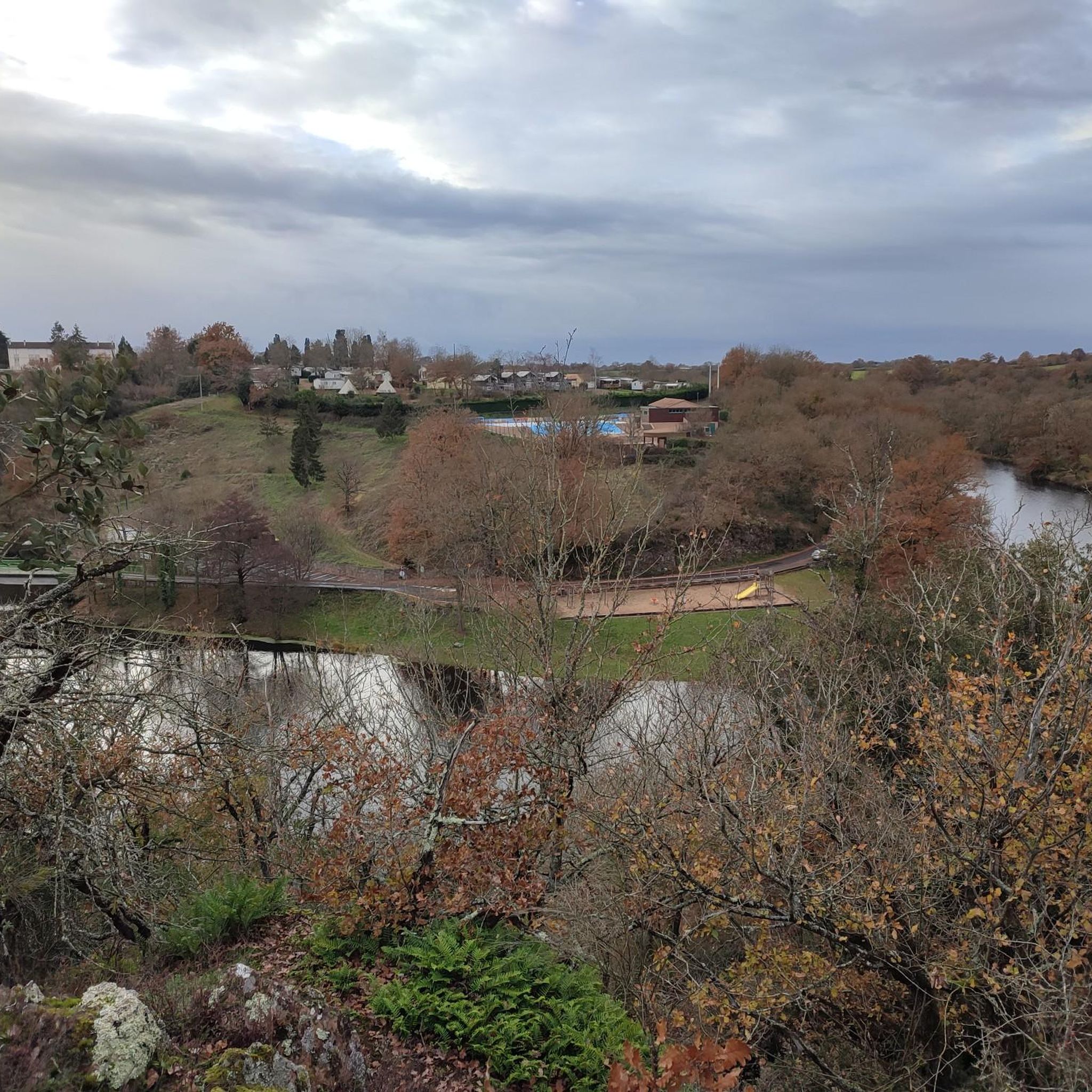
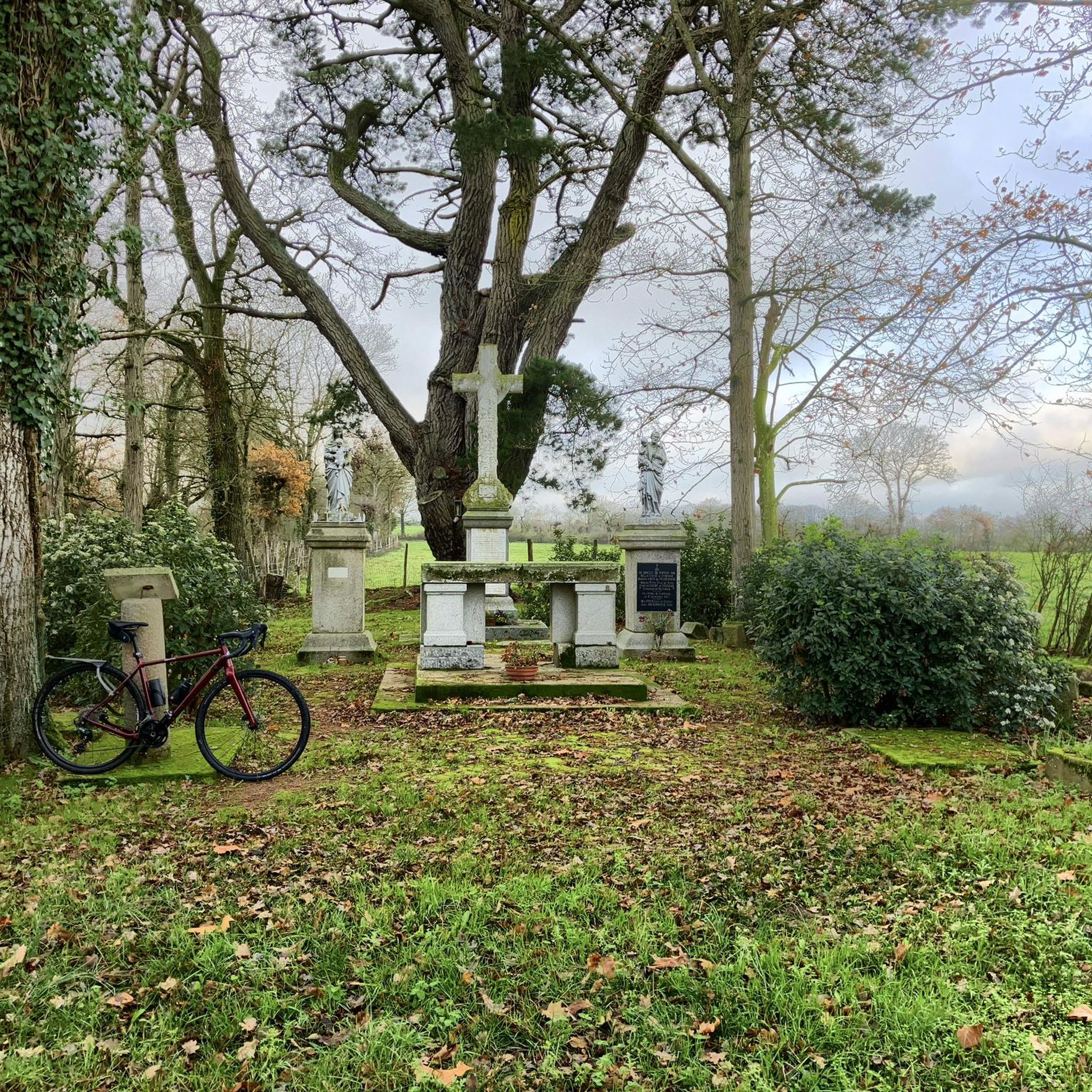


Tips from the Community

Take advantage of this hike to discover magical places.
0
1


Natural waterfalls are rather rare in this region. This one is remarkable in its incredibly preserved green setting.
2
0

The remains of a very old chapel in the hamlet of the same name. A lot of mystery surrounds this place, almost abandoned. No documents remain to draw up the history of this monument. the remains of this building make it possible to trace the construction back to the 12th century.
0
0
Natural waterfalls are rather rare in this region. This one is remarkable in its incredibly preserved green setting.
4
0
Frequently Asked Questions
How many hiking trails are available in Coulonges-Thouarsais?
There are over 60 hiking trails in Coulonges-Thouarsais, offering a variety of options for different skill levels and preferences. The region's network includes 23 easy routes, 41 moderate routes, and 3 more challenging paths.
What kind of scenery can I expect on the hiking trails?
Hiking in Coulonges-Thouarsais takes you through gentle river valleys, agricultural fields, and woodlands. You'll encounter a mix of open landscapes and shaded paths, with opportunities to see historical sites and natural features like the Pommiers Waterfall.
Are there easy hikes suitable for families or beginners?
Yes, Coulonges-Thouarsais offers many easy routes perfect for families and beginners. An excellent option is The Pressoir valley and the Pommiers waterfall - loop, which is 3.2 miles (5.2 km) long and explores a scenic valley leading to the waterfall.
Are there any circular walks in the area?
Many trails in Coulonges-Thouarsais are designed as circular routes. For example, the Pommiers Waterfall loop from Saint-Jacques-de-Thouars offers a pleasant 2.2-mile (3.6 km) walk around the waterfall area.
Can I hike with my dog in Coulonges-Thouarsais?
Most trails in Coulonges-Thouarsais are dog-friendly, though it's always recommended to keep your dog on a leash, especially when passing through agricultural areas or near livestock. The varied terrain of woodlands and open fields provides a great environment for walks with your canine companion.
What do other hikers enjoy most about the trails here?
The trails in Coulonges-Thouarsais are highly rated by the komoot community, with an average score of 4.4 stars from over 70 reviews. Hikers often praise the peaceful river valleys, the charm of the agricultural landscapes, and the well-maintained paths that make for enjoyable outings.
Are there any historical sites or landmarks to explore along the trails?
Yes, the region is rich in history. You can explore sites like the Saint-Médard Church of Thouars or the Pont des Chouans on the Thouet. For a longer historical journey, consider the Ruins of the chapel St Guillaume – loop.
Where can I find parking for the hiking trails?
Parking is generally available at the start points of many trails, particularly in or near villages like Saint-Jacques-de-Thouars or Mauzé-Thouarsais. Look for designated parking areas or public spaces within these communities.
What is the best time of year to hike in Coulonges-Thouarsais?
Spring and autumn are ideal for hiking in Coulonges-Thouarsais, offering pleasant temperatures and beautiful scenery. Spring brings blooming wildflowers, while autumn showcases vibrant foliage. Summer can also be enjoyable, especially for shaded woodland paths, but be mindful of warmer temperatures.
Are there any longer or more challenging routes for experienced hikers?
For experienced hikers seeking a challenge, the region offers routes like the Ruins of the chapel St Guillaume – loop. This difficult 12.8-mile (20.6 km) path provides varied terrain and a longer exploration of the area.
Are there any cafes or places to eat near the hiking trails?
While specific cafes directly on the trails are rare, you'll find various dining options and cafes in the nearby towns and villages such as Thouars, which is a short drive from many trailheads. It's a good idea to plan your refreshments before or after your hike.
What are some less-known or 'hidden gem' trails in the area?
For a less-trafficked experience, consider the Pommiers Waterfall loop from Mauzé-Thouarsais. This moderate 5.4-mile (8.7 km) route offers a different perspective of the popular waterfall area and surrounding countryside.
Most popular routes around Coulonges-Thouarsais
Most popular attractions around Coulonges-Thouarsais

Get inspired with the komoot mobile app


Explore more
Browse the best Hikes in other regions.
