The best cycling routes around Ville-Du-Pont
4.5
(128)
2,281
riders
198
rides
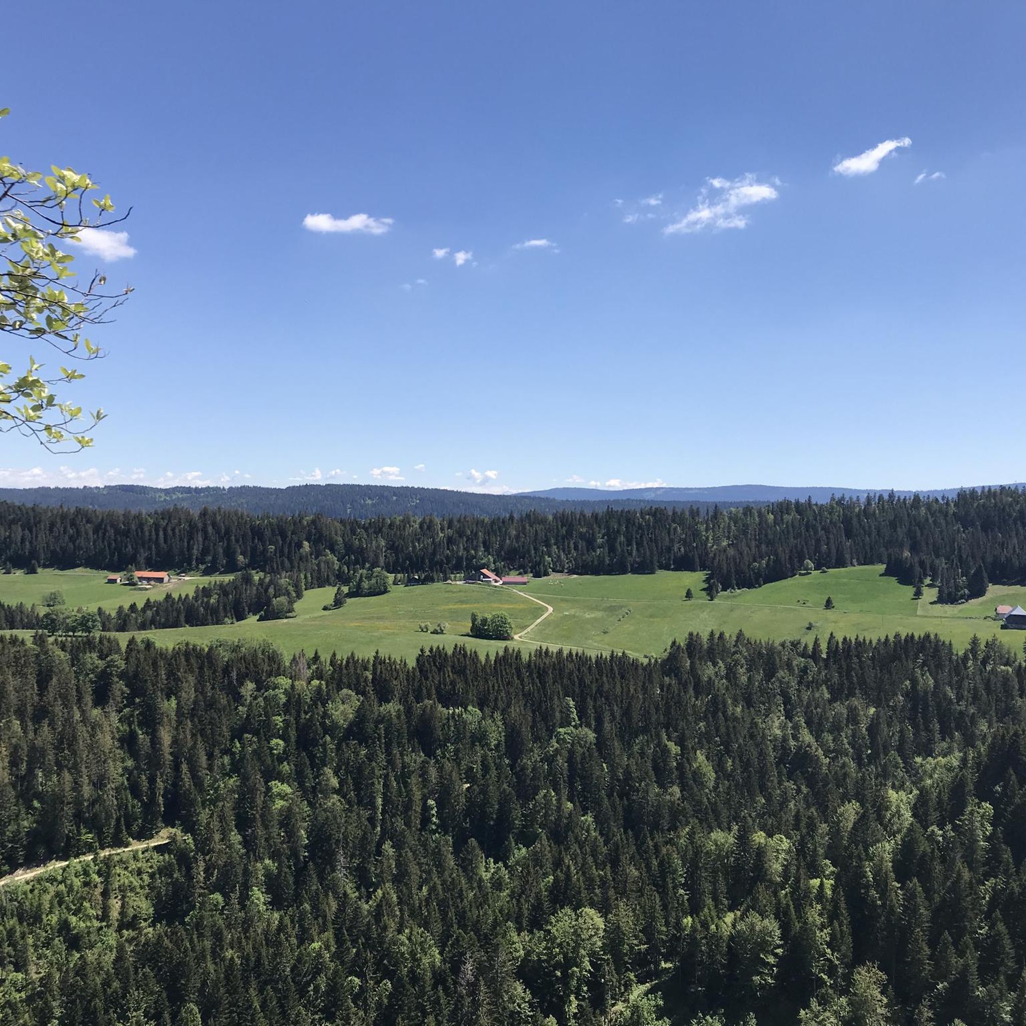
Touring cycling routes around Ville-Du-Pont traverse a diverse landscape within the Doubs department, characterized by its medium mountain relief. The region features elevations ranging from approximately 758 to 1,199 meters, offering varied terrain from gentle river valleys to more challenging hills. The Doubs River winds through dramatic wooded slopes and karstic rock formations, providing picturesque scenery for cyclists. This topography ensures a range of cycling experiences suitable for different skill levels.
Best touring cycling routes around Ville-Du-Pont
- The most popular touring cycling route is Pic nic 🙂🍷🚴🏻♂️ – View of Montbenoît loop from Pays-de-Montbenoît, a moderate 23.0 miles (37.1 km) trail that takes 2 hours 15 minutes to complete, offering scenic views of Montbenoît.
- Another top favourite among local touring cyclists is Pic nic 🙂🍷🚴🏻♂️ – Greenway of the train path loop from Montbenoît, an easy 10.1 miles (16.2 km) path, following a greenway along an old train path.
- Local touring cyclists also love the Morteau – View of Lake Tallières loop from Pays-de-Montbenoît, a 36.4 miles (58.5 km) trail leading through varied terrain with views towards Lake Tallières, often completed in about 4 hours 1 minute.
- Touring cycling around Ville-Du-Pont is defined by the Doubs River, scenic valleys, and rolling hills, with options ranging from flat greenways to more challenging ascents. The network offers routes for various ability levels, including sections of the EuroVelo 6.
- The routes in Ville-Du-Pont are highly rated by the komoot community with an average score of 4.5 stars from over 130 reviews. More than 2300 touring cyclists have used komoot to explore Ville-Du-Pont's varied terrain.
Last updated: July 7, 2026
4.8
(5)
59
riders
37.1km
02:16
340m
340m
Moderate bike ride. Good fitness required. Mostly paved surfaces. Suitable for all skill levels.
4.7
(3)
37
riders
16.8km
01:01
120m
120m
Easy bike ride. Great for any fitness level. Mostly paved surfaces. Suitable for all skill levels.

Sign up for free
5.0
(4)
24
riders
58.5km
04:02
1,060m
1,060m
Hard bike ride. Very good fitness required. Mostly paved surfaces. Suitable for all skill levels.
4.0
(1)
20
riders
38.7km
02:39
600m
600m
Hard bike ride. Very good fitness required. Mostly paved surfaces. Suitable for all skill levels.
12
riders
Moderate bike ride. Good fitness required. Mostly paved surfaces. Suitable for all skill levels.
Get access to more routes and recommendations from other explorers.
Sign up for free
Already have an account?
Our route recommendations are based on thousands of hikes, rides, and runs completed by other people on komoot.
Start today with a free account
Your next adventure awaits.
Login or Signup
Tips from the Community


A perfect crossing point through the Jura area. A nice and gentle climb up to 1033m quite doable from both sides.
0
0

Founded in the 12th century by a hermit named Benoît, it features a Romanesque nave, a late Gothic choir, and a cloister from the 15th century. Open Tuesdays, Wednesdays, and Saturdays.
0
0

Typo? Needs to be corrected... right?
0
0

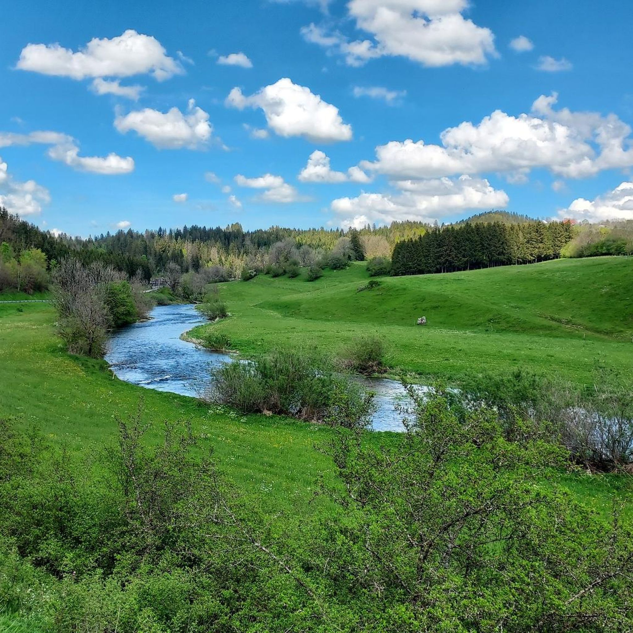
From here you have a wonderful view of the lake, which lies in a hollow surrounded by green pastures and forests.
1
0


It's just a lot of fun
0
0

It's impressive how the water comes out from under the rocks here!
0
0
Frequently Asked Questions
How many touring cycling routes are available around Ville-du-Pont?
There are over 200 touring cycling routes around Ville-du-Pont, offering a wide range of experiences. These include 25 easy routes, 64 moderate routes, and 112 difficult routes, catering to various skill levels and preferences.
Are there easy or family-friendly touring cycling routes near Ville-du-Pont?
Yes, the region offers several easy and family-friendly options. The EuroVelo 6 route, also known as 'The Rivers Route,' provides generally flat, easy-going greenways and ancient towpaths along the Doubs River and the Rhône-Rhine Canal. A great example is the Pic nic 🙂🍷🚴🏻♂️ – Greenway of the train path loop from Montbenoît, which follows an old train path and is rated as easy.
What kind of terrain can I expect on touring cycling routes around Ville-du-Pont?
The terrain around Ville-du-Pont is quite diverse, characterized by a 'medium mountain relief' with elevations ranging from 758 to 1,199 meters. You'll find everything from serene river valleys with flat greenways, like those along the Doubs River, to more challenging ascents through hills and valleys that offer panoramic views of the Haut-Doubs region.
Are there any long-distance or challenging touring cycling routes in the area?
Absolutely. For those seeking a challenge, there are 112 difficult routes available. Routes like the Morteau – View of Lake Tallières loop from Pays-de-Montbenoît cover a significant distance of 58.5 km with substantial elevation gain, leading through varied terrain with views towards Lake Tallières. Another challenging option is the Col Tounet – Pic nic 🙂🍷🚴🏻♂️ loop from Pays-de-Montbenoît, which includes notable climbs.
What natural attractions can I see along the touring cycling routes?
The region is rich in natural beauty. You can cycle alongside the picturesque Doubs River, which winds through dramatic wooded slopes and karstic rock formations. While not directly adjacent, the broader Doubs department features impressive natural sights like the Cascade de Syratu waterfall near Mouthier-Haute-Pierre. You might also encounter viewpoints such as Mont Vouillot Viewpoint or natural monuments like the Karst Spring of the Areuse.
Are there any historic towns or landmarks to explore while cycling?
Yes, the area is dotted with historic settlements and landmarks. You can visit towns like Pontarlier, Baume-les-Dames, and Lods, which is classified as a 'Most Beautiful Village.' History enthusiasts can also explore the imposing La Brévine Weather Station, or the Col sur le Mont. The Saline Royale d'Arc-et-Senans, a UNESCO World Heritage Site, is also accessible via a cycle path branching off the EuroVelo 6.
What do other touring cyclists enjoy most about cycling in Ville-du-Pont?
The touring cycling routes around Ville-du-Pont are highly rated by the komoot community, with an average score of 4.5 stars from over 130 reviews. Cyclists often praise the diverse landscapes, ranging from serene river valleys to challenging hills, and the well-maintained paths, including sections of the EuroVelo 6. The scenic views and opportunities to explore charming villages are also frequently highlighted.
Are there circular touring cycling routes available?
Yes, many routes in the area are designed as loops, allowing you to start and end in the same location. For instance, the Pic nic 🙂🍷🚴🏻♂️ – View of Montbenoît loop from Pays-de-Montbenoît is a popular moderate circular route offering scenic views. Another option is the Montbenoît Abbey – Greenway of the train path loop from Pays-de-Montbenoît.
What is the best season for touring cycling around Ville-du-Pont?
The region's 'medium mountain relief' means that spring, summer, and early autumn generally offer the most pleasant conditions for touring cycling. During these seasons, the weather is typically mild, and the natural landscapes are at their most vibrant. Always check local weather forecasts before heading out, especially for higher elevation routes.
Is public transportation available to access cycling routes?
While specific public transport links directly to every trailhead might vary, the Doubs department is part of France Vélo Tourisme's network, which promotes cyclist-friendly services. This often includes options for transporting bikes on regional trains or buses, especially along major cycling routes like the EuroVelo 6. It's advisable to check regional transport websites for detailed information on bike-friendly services.
Are there places to park my car when starting a cycling tour?
Yes, many starting points for touring cycling routes, especially in and around towns like Montbenoît or Pontarlier, offer designated parking areas. For specific routes, it's often possible to find parking near the indicated start points on komoot maps. Look for parking facilities in villages or near popular attractions that serve as trailheads.
Can I find bike-friendly accommodations or services in the region?
The region benefits from the 'Accueil Vélo' accreditation, which identifies cyclist-friendly accommodations and amenities. This network ensures that establishments offer services tailored to cyclists, such as secure bike storage, repair kits, and information on local routes. You can find more information on these services through France Vélo Tourisme's website: France Vélo Tourisme.
Most popular routes around Ville-Du-Pont
Most popular attractions around Ville-Du-Pont

Get inspired with the komoot mobile app


Explore more
Browse the best Cycling routes in other regions.
