The best walks and hikes around Missillac
4.4
(402)
2,681
hikers
186
hikes
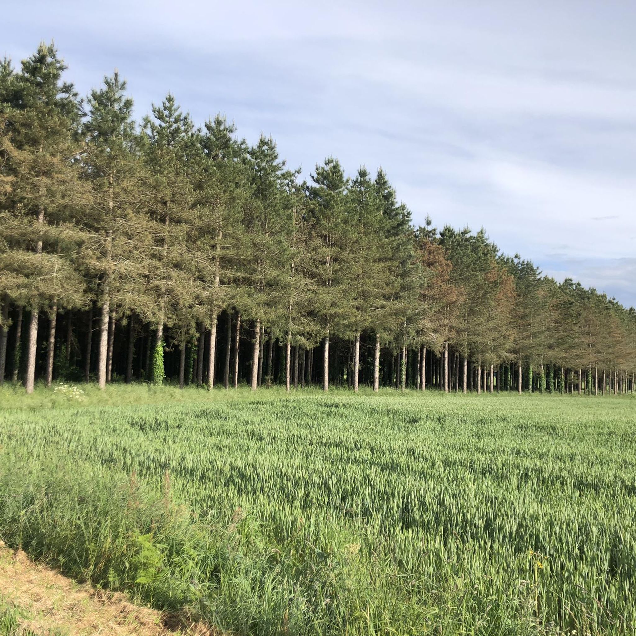
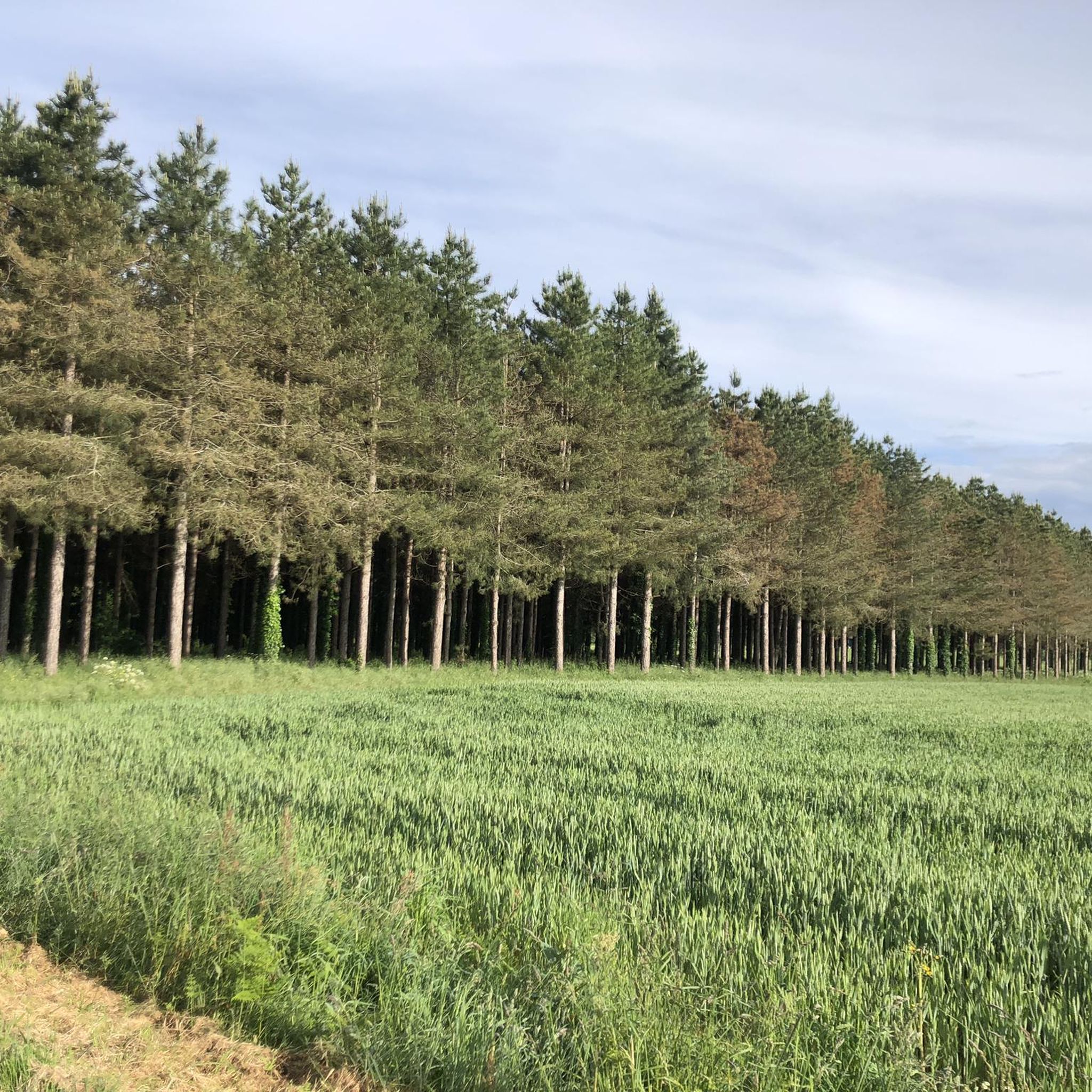
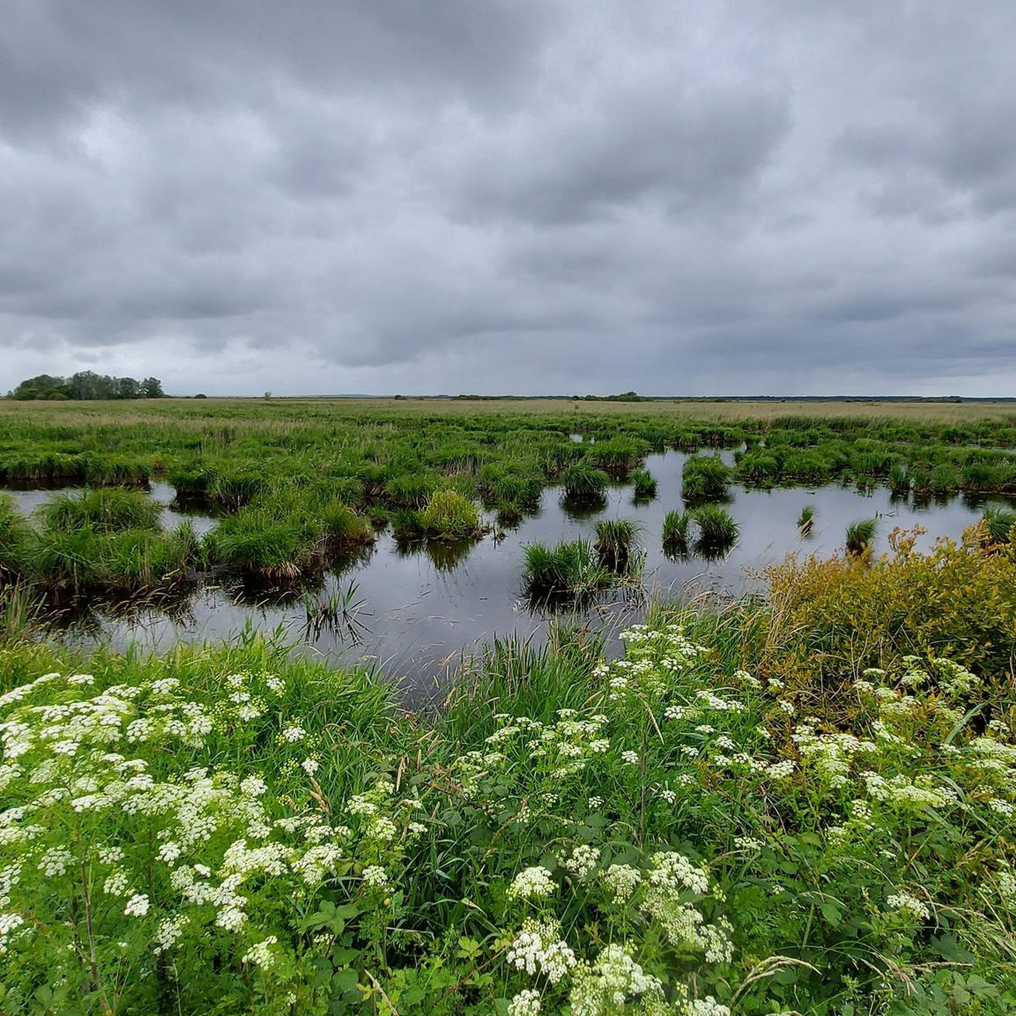
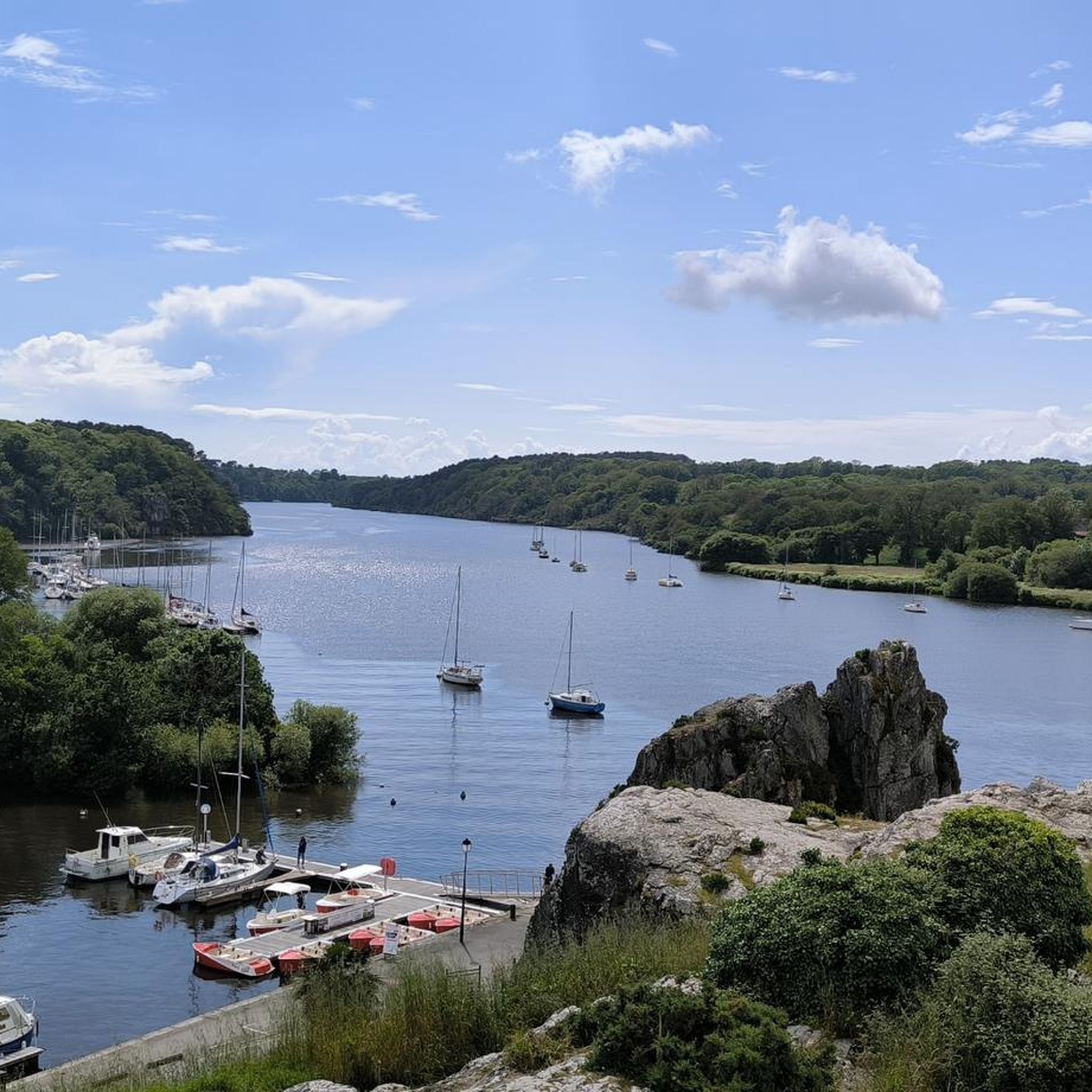
Hiking around Missillac offers diverse natural landscapes, primarily characterized by its proximity to the Brière Regional Natural Park, France's second-largest marsh area. The region features extensive wetlands, riverine environments along the Loire Estuary, and varied terrain suitable for outdoor exploration. These natural features provide a mix of flat paths through marshes and slightly more undulating routes near historic sites.
Best hiking trails around Missillac
- The most popular hiking route is Rocher du Roho website – Croix de Cravignan loop from…
Last updated: June 25, 2026
5.0
(9)
75
hikers
11.0km
03:00
160m
160m
Moderate hike. Good fitness required. Easily-accessible paths. Suitable for all skill levels.
4.0
(1)
34
hikers
15.2km
03:50
20m
20m
Moderate hike. Good fitness required. Easily-accessible paths. Suitable for all skill levels.

Sign up for free
4.5
(2)
29
hikers
20.7km
05:14
30m
30m
Hard hike. Very good fitness required. Easily-accessible paths. Suitable for all skill levels.
4.7
(9)
19
hikers
8.18km
02:05
30m
30m
Moderate hike. Good fitness required. Easily-accessible paths. Suitable for all skill levels.
4.5
(4)
16
hikers
7.67km
02:04
100m
100m
Moderate hike. Good fitness required. Easily-accessible paths. Suitable for all skill levels.
Get access to more routes and recommendations from other explorers.
Sign up for free
Already have an account?
Our route recommendations are based on thousands of hikes, rides, and runs completed by other people on komoot.
Start today with a free account
Your next adventure awaits.
Login or Signup

Tips from the Community

It was originally erected at the Mission's 1896 fence, near the present church. With the installation of a new cross on All Saints' Day 1910, it was erected outside the cemetery.
0
0
A slightly trapezoidal granite cross, the Cravignan Cross was originally one of the many menhirs Christianized in the Middle Ages.
0
0

Situated in the middle of a field in the village of Bergon. The road to it is well signposted and ends in a gravel path. Good for cycling
0
0

Relatively pleasant beginning of the trail but it all depends on which way you access it, in any case a good portage is to be done for the complete route.
0
0

The Québitre bridge is a small footbridge that spans the Boulaie canal. It is borrowed by the famous GR 3.
1
0

A few bicycles to get there ;-)
0
0
The dolmen has a large cover table (4 m in length for a width of 2.95 m and an average thickness of 0.35 m) which rests on three pillars of unequal heights of 1.60 m, 1.35 m respectively. and 1 m. A slab lying on the ground is visible inside the room1.
1
0
Frequently Asked Questions
How many hiking trails are available around Missillac?
There are over 180 hiking routes available around Missillac, offering a wide variety of experiences. These include 73 easy trails, 104 moderate routes, and 7 more challenging options, catering to different fitness levels and preferences.
What kind of landscape can I expect when hiking around Missillac?
Hiking around Missillac offers a diverse natural landscape, primarily characterized by its proximity to the Brière Regional Natural Park, France's second-largest marsh area. You'll find extensive wetlands, riverine environments along the Loire Estuary, and varied terrain. The region is known for its picturesque scenery, ideal for observing wildlife and exploring the unique ecosystems of the marshes.
Are there easy or family-friendly hiking options near Missillac?
Yes, Missillac offers many easy and family-friendly hiking options. With 73 easy routes, you can find gentle paths suitable for all ages. For example, the War Memorial – Mission Cross loop from Saint-Dolay is an easy 5.8 km trail that takes about 1 hour 30 minutes, perfect for a relaxed outing.
Can I find circular hiking routes in the Missillac area?
Many of the hiking routes around Missillac are designed as circular loops, allowing you to start and end at the same point. This makes planning your hike more convenient. For instance, the popular Rocher du Roho website – Croix de Cravignan loop from Saint-Dolay is a moderate 11 km circular trail.
Are dogs allowed on hiking trails around Missillac?
Generally, dogs are welcome on many hiking trails around Missillac, especially on leash. When exploring areas like the Brière Regional Natural Park, it's always best to keep your dog under control to protect local wildlife and respect other hikers. Specific rules may apply in certain protected areas, so always check local signage.
What natural landmarks or historical sites can I discover while hiking near Missillac?
The Missillac area is rich in natural and historical points of interest. You can hike past the ancient Wolf Stone Dolmen, a megalithic site, or explore the unique ecosystems of the Pierre Constant Site – Brière Marsh Nature Reserve. Other notable sites include the Ruins of the Château de Lorieux, which adds a touch of history to your outdoor adventure.
Is parking available at the trailheads in Missillac?
Yes, parking is generally available near the starting points of many trails around Missillac, especially in villages or designated recreational areas. It's advisable to check specific route details on komoot for information on parking facilities at individual trailheads.
What do other hikers say about the trails in Missillac?
The hiking trails in Missillac are highly regarded by the komoot community, with an average rating of 4.4 stars from over 360 reviews. More than 2,600 hikers have explored the area using komoot, often praising the varied terrain, the tranquility of the marshlands, and the well-maintained paths.
Are there any longer or more challenging hikes for experienced hikers?
Yes, for experienced hikers seeking a greater challenge, there are several options. For instance, the Pont de Québitre loop from Sainte-Reine-de-Bretagne is a difficult 20.7 km route that takes approximately 5 hours 15 minutes to complete, offering a longer exploration of the region's landscapes.
What is the best time of year to go hiking in Missillac?
The best time to hike in Missillac is typically during spring and autumn when the weather is mild and the natural scenery is particularly vibrant. Spring brings blooming flora, while autumn offers beautiful colors. Summer can also be pleasant, but it's wise to start early to avoid the midday heat. Winter hiking is possible, but some marsh areas might be wetter, so appropriate footwear is recommended.
Can I combine hiking with other activities or attractions nearby?
Absolutely! Missillac's location makes it easy to combine hiking with visits to nearby attractions. You could hike in the Brière marshes and then explore the charming Old Port of La Roche-Bernard, just 11 km away, with its ancient houses and river views. The Arzal Dam on the Vilaine estuary also offers an interesting landmark to visit.
Most popular routes around Missillac
Most popular attractions around Missillac

Get inspired with the komoot mobile app


Explore more
Browse the best Hikes in other regions.
