The best walks and hikes around Saint-Pryvé-Saint-Mesmin
4.5
(295)
1,699
hikers
23
hikes
Hiking around Saint-Pryvé-Saint-Mesmin offers a network of trails primarily characterized by its proximity to the Loire and Loiret rivers, providing mostly flat terrain suitable for various activity levels. The landscape features riverbanks, open fields, and areas with historical structures like chateaus and mills. These routes provide opportunities for accessible trails and family friendly hikes within the region.
Best hiking trails around Saint-Pryvé-Saint-Mesmin
- The most popular hiking route is Le chateau d'olivet – Mothe Mill loop from Saint-Pryvé-Saint-Mesmin, a 6.4 miles (10.3 km) moderate trail that takes 2 hours 36 minutes to complete. This route explores local historical sites including a chateau and a mill.
- Another top favourite among local hikers is Confluence With the Loire loop from Saint-Hilaire-Saint-Mesmin, an easy 4.6 miles (7.5 km) path. This trail offers views of the confluence of the Loire river.
- Local hikers also love the Orleans – George V Bridge loop from Orléans, a 4.1 miles (6.6 km) trail leading through urban and riverside landscapes, often completed in about 1 hour 42 minutes.
- Hiking around Saint-Pryvé-Saint-Mesmin is defined by river paths along the Loire and Loiret, open countryside, and historical points of interest. The network offers options for different ability levels, including easy hikes Saint-Pryvé-Saint-Mesmin.
- The routes in Saint-Pryvé-Saint-Mesmin are highly rated by the komoot community with an average score of 4.6 stars from over 260 reviews. More than 1500 hikers have used komoot to explore Saint-Pryvé-Saint-Mesmin's varied terrain.
Last updated: July 9, 2026
4.8
(13)
46
hikers
Moderate hike. Good fitness required. Easily-accessible paths. Suitable for all skill levels.
4.7
(6)
82
hikers
7.48km
01:53
10m
10m
Easy hike. Great for any fitness level. Easily-accessible paths. Suitable for all skill levels.

Sign up for free
21
hikers
6.37km
01:39
40m
40m
Easy hike. Great for any fitness level. Easily-accessible paths. Suitable for all skill levels.
5.0
(2)
17
hikers
Moderate hike. Good fitness required. Easily-accessible paths. Suitable for all skill levels.
5.0
(2)
12
hikers
Moderate hike. Good fitness required. Easily-accessible paths. Suitable for all skill levels.
Get access to more routes and recommendations from other explorers.
Sign up for free
Already have an account?
Our route recommendations are based on thousands of hikes, rides, and runs completed by other people on komoot.
Start today with a free account
Your next adventure awaits.
Login or Signup

Tips from the Community

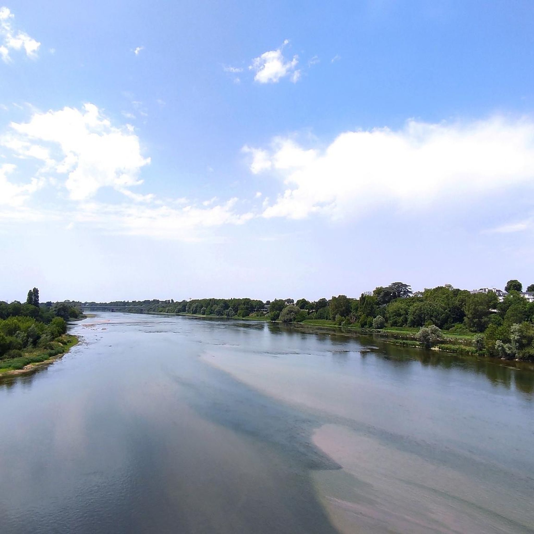
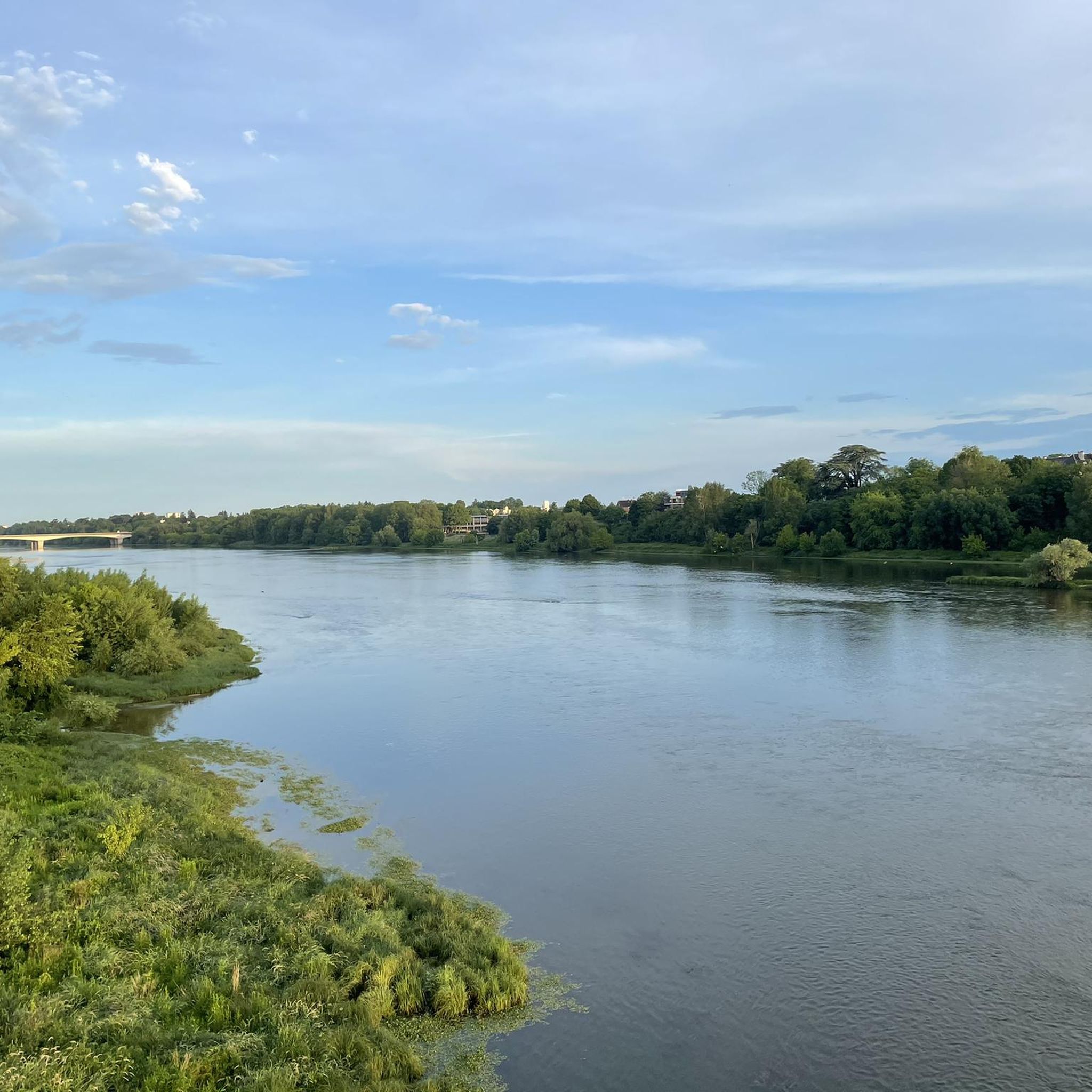
SAINT-HILAIRE-SAINT-MESMIN is located 7 Kms southwest of Orléans, near the confluence of the Loiret and the Loire. The municipality has been part since 1999 of the 22 municipalities that make up the Orléans Métropole. The starting points for the hiking trails are located in the Pâtis parking lot.
0
0
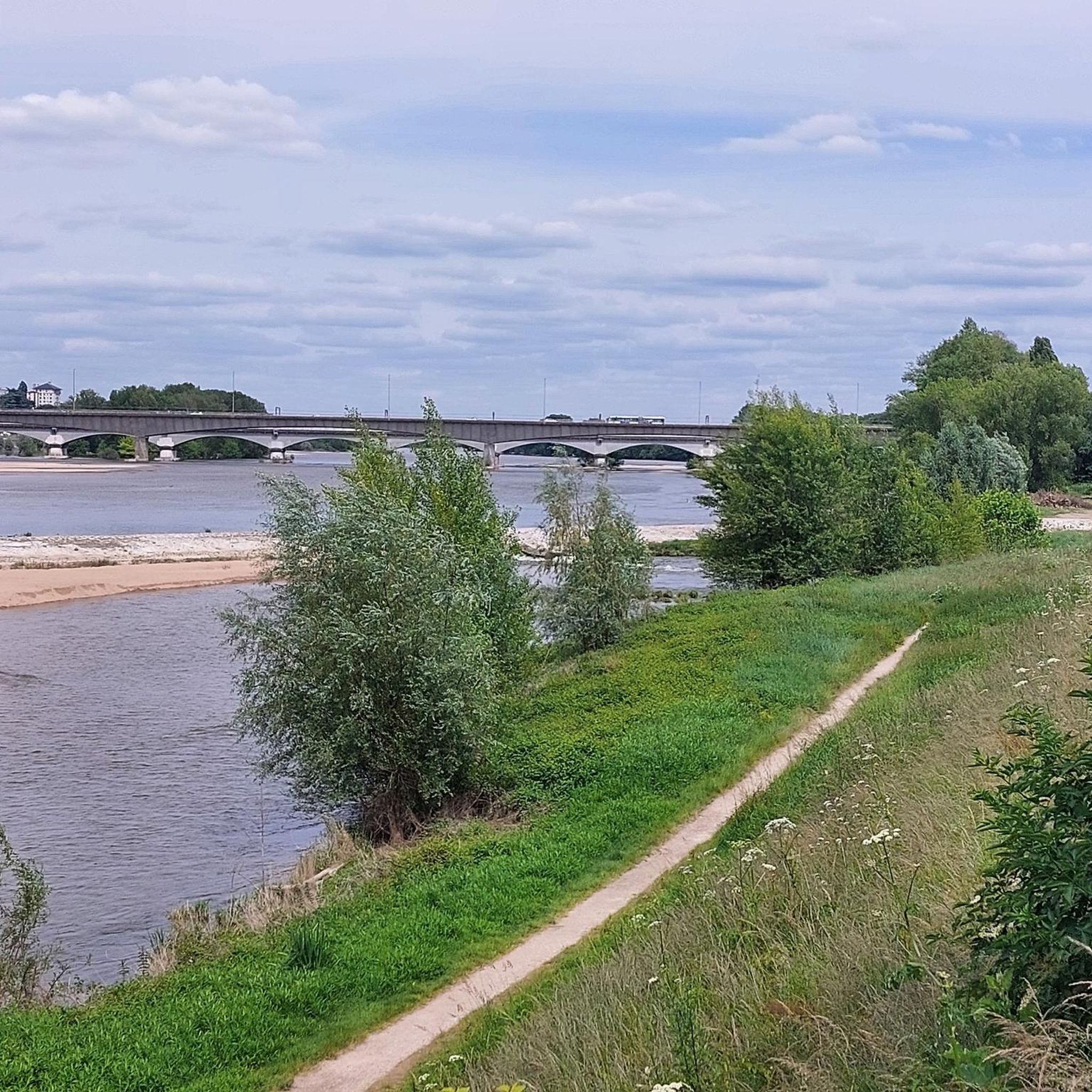
Near this Bridge: *Why the km 96 marker in Orléans?* (Quai du Châtelet) The km 96 marker in Orléans *corresponds neither to the distance from the source nor from the mouth of the river. It is part of a **local marking system* related to river navigation and 19th-century cartography. These markers were used to: - *Measure navigable sections* between two ports or cities (e.g., Orléans-Blois, Orléans-Tours). - *Calculate transport tariffs* for goods, as was done by "water coach plates" (the fluvial equivalent of road markers for stagecoaches).
0
0

Pleasant street for cycling or walking, but be careful of certain narrow passages and car traffic.
0
0

As in probably every other profession, there are a few so-called “black sheep” among the many honorable millers in the milling trade. The popular children’s book author Otfried Preußler tells the following short episode in “The Flight into Egypt”: “And they didn’t even get all the way to Klostergrätz that evening, but there was a mill on their way, the monastery mill – they stayed there until the next morning. At first the monastery miller was almost shocked when the k.k. Gendarmerie knocks on his door: There had been a certain dispute with a customer last week over a few sacks of milling material which had disappeared in the mill here in a completely inexplicable way […] but it could have been that he had been reported for it anyway – and now they’re coming to pick him up… then of course all the disputed milling sacks had immediately fallen from his mind, the monastery miller, just as [sergeant] Hawlitschek is now simply asking him for a place to stay for the night.”
1
0

A beautiful design - impressive and a great view!
3
1

Orléans is a really interesting city and always worth a visit 🤩👍🏼
1
1
Beautiful wide street lined with magnificent buildings. 🤩
1
0

The city of Orléans is truly on a human scale, which makes it more practical to visit. The Loire is soothing. The city also has a historical and artistic past that it knows how to highlight. Finally, it is one of the cities that decorates some of its streets with murals.
2
0
Frequently Asked Questions
How many hiking trails are available around Saint-Pryvé-Saint-Mesmin?
There are over 20 hiking trails around Saint-Pryvé-Saint-Mesmin, offering a variety of experiences. These routes primarily explore the riverbanks of the Loire and Loiret, as well as open countryside and historical sites.
Are there easy hiking trails suitable for beginners or families?
Yes, Saint-Pryvé-Saint-Mesmin is well-suited for beginners and families, with 17 out of 24 routes classified as easy. An excellent option is the Confluence With the Loire loop from Saint-Hilaire-Saint-Mesmin, an easy 4.6-mile (7.5 km) path offering scenic river views.
What kind of terrain can I expect on hikes in this region?
The terrain around Saint-Pryvé-Saint-Mesmin is generally flat, characterized by river paths along the Loire and Loiret, open countryside, and some urban sections. This makes most trails accessible and enjoyable for various fitness levels.
Are there any circular walks available?
Many of the routes in the area are circular, allowing you to start and end at the same point. For example, the Moulin des Béchets – Moulin de Saint-Samson loop from La Chapelle-Saint-Mesmin is a moderate 5.4-mile (8.7 km) circular hike that takes you through picturesque landscapes.
What historical sites or natural features can I see along the hiking trails?
The region offers several points of interest. You can explore historical structures like the Isle Castle or visit the significant Confluence of the Loire and the Loiret. Many trails also pass by old mills and charming villages.
Are the hiking trails around Saint-Pryvé-Saint-Mesmin dog-friendly?
Most natural trails in the Saint-Pryvé-Saint-Mesmin area are generally dog-friendly, especially those along the riverbanks and through open fields. However, it's always recommended to keep dogs on a leash, particularly near wildlife or in populated areas, and to check local regulations for specific routes.
What do other hikers enjoy most about hiking in Saint-Pryvé-Saint-Mesmin?
The area is highly rated by the komoot community, with an average score of 4.6 stars from over 260 reviews. Hikers often praise the peaceful river views, the flat and accessible paths, and the opportunity to discover local historical sites.
Can I reach the trailheads using public transport?
Saint-Pryvé-Saint-Mesmin is part of the Orléans Métropole, which has a public transport network. While some trailheads might be accessible by local buses, it's advisable to check specific route starting points and bus schedules in advance, especially for routes further from the town center.
Are there good options for parking near the hiking trails?
Parking is generally available in and around Saint-Pryvé-Saint-Mesmin, particularly near popular starting points or village centers. For specific trailheads, it's best to consult the individual route details on komoot, as many routes provide information on nearby parking facilities.
What is a good moderate hike to experience the local history?
For a moderate hike that combines nature with local history, consider the Le chateau d'olivet – Mothe Mill loop from Saint-Pryvé-Saint-Mesmin. This 6.4-mile (10.3 km) route takes about 2 hours 36 minutes and explores historical sites including a chateau and a mill.
What are the typical durations for hikes in this region?
Hike durations vary, but many popular routes range from 1.5 to 3 hours. For instance, the Orleans – George V Bridge loop from Orléans is a 4.1-mile (6.6 km) trail that can be completed in about 1 hour 42 minutes, while longer routes like the Beautiful view of the Loiret – Moulin des Béchets loop from Saint-Pryvé-Saint-Mesmin can take over 3 hours.
Most popular routes around Saint-Pryvé-Saint-Mesmin
Most popular attractions around Saint-Pryvé-Saint-Mesmin

Get inspired with the komoot mobile app


Explore more
Browse the best Hikes in other regions.
