The best running trails around Saint-Aubin-Sur-Scie
4.5
(4)
276
runners
24
runs
Jogging around Saint-Aubin-Sur-Scie offers diverse terrain, from the banks of the river Scie to the Norman countryside and the nearby Channel coast. The region features varied elevations, ranging from 9 to 105 meters, providing options for different fitness levels. Its proximity to Dieppe allows for coastal running experiences, while inland routes traverse rural landscapes.
Best jogging routes around Saint-Aubin-Sur-Scie
- The most popular jogging route is Dieppe loop from Saint-Aubin-sur-Scie, a 9.4 miles (15.1 km) difficult trail that takes 1…
Last updated: July 9, 2026
4.0
(1)
31
runners
15.4km
01:51
280m
280m
Hard run. Very good fitness required. Mostly paved surfaces. Suitable for all skill levels.
26
runners
37.9km
04:27
770m
770m
Hard run. Very good fitness required. Mostly paved surfaces. Suitable for all skill levels.

Sign up for free
40
runners
12.7km
01:22
130m
130m
Moderate run. Good fitness required. Mostly paved surfaces. Suitable for all skill levels.
5.0
(1)
30
runners
24.9km
02:42
340m
340m
Hard run. Very good fitness required. Mostly paved surfaces. Suitable for all skill levels.
5.0
(1)
9
runners
9.19km
01:00
110m
110m
Moderate run. Good fitness required. Mostly paved surfaces. Suitable for all skill levels.
Get access to more routes and recommendations from other explorers.
Sign up for free
Already have an account?
Our route recommendations are based on thousands of hikes, rides, and runs completed by other people on komoot.
Start today with a free account
Your next adventure awaits.
Login or Signup

Tips from the Community

This bar at the end of the boulevard is quaint, cozy, and quiet. You can sit outside or inside in the warmth. The staff are very friendly.
0
0

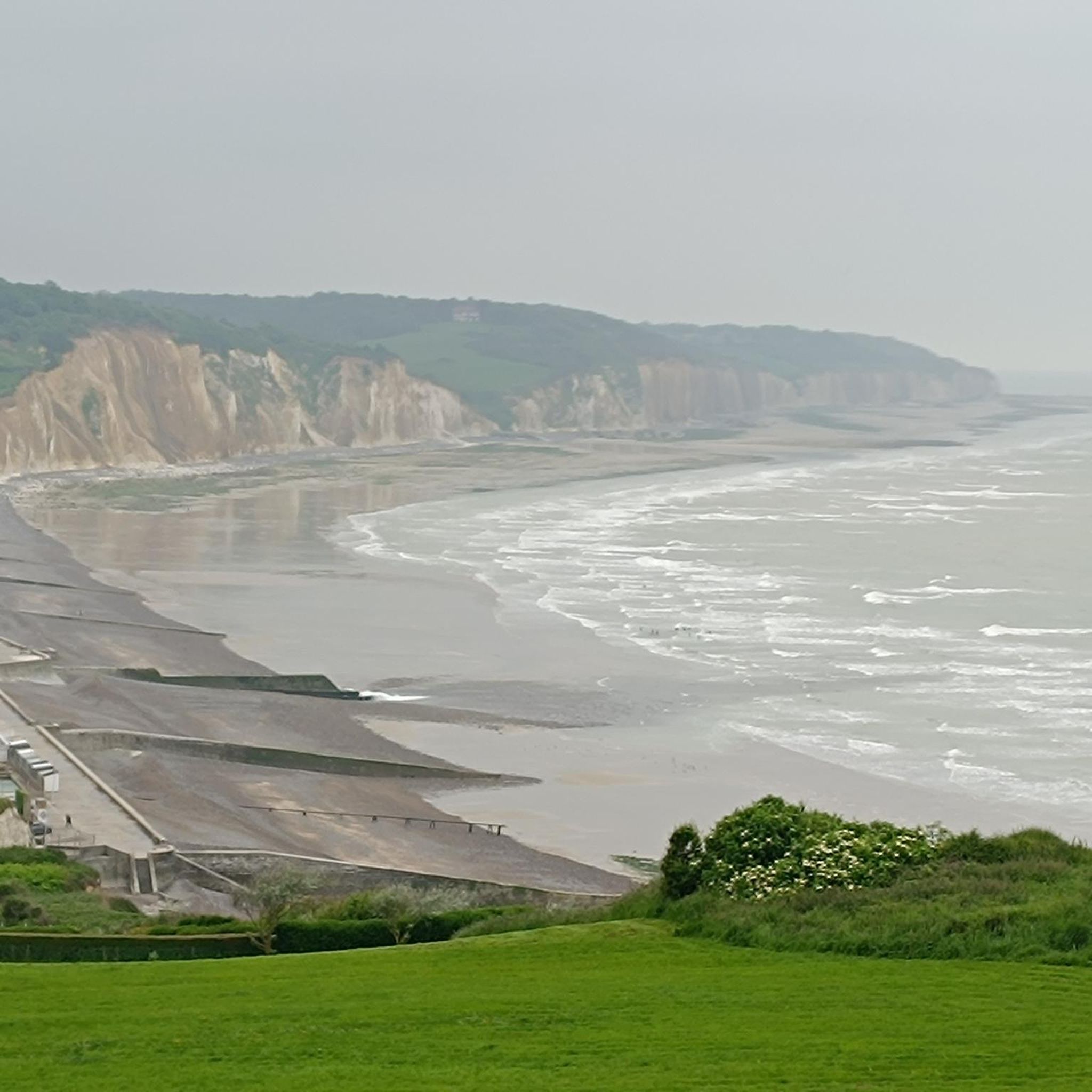
A magnificent spot, offering breathtaking views. The two trails leading to the gorge are also very beautiful. Be careful on the descent; despite the improvements, it remains dangerous.
0
0

You should keep an eye on the tides
0
0

Immediately to the right of the church is a path leading down to the sea. The first section runs along a cow pasture, then it becomes very narrow, only two feet wide, and very steep. You pass under bushes, along slopes and precipices, along paths, and over steps. It's a steep descent, with railings not everywhere. Be careful: not all railings are stable, and in some places you're walking right along the precipice. The last stretch to the pebble beach is made up of rocks covered in algae, and it's slippery in places. The view is magnificent, and the hike a triumph, but not entirely without excitement or danger. The last stretch along the precipice is not suitable for children. When we were there, the wind was strong, force 5, with gusts of up to 6.7.
2
0

A construction carried out by Eiffel
0
0
A small, peaceful beach, ideal for relaxing and admiring the beautiful scenery. The GR 21 hiking trail passes just a few meters above.
1
0

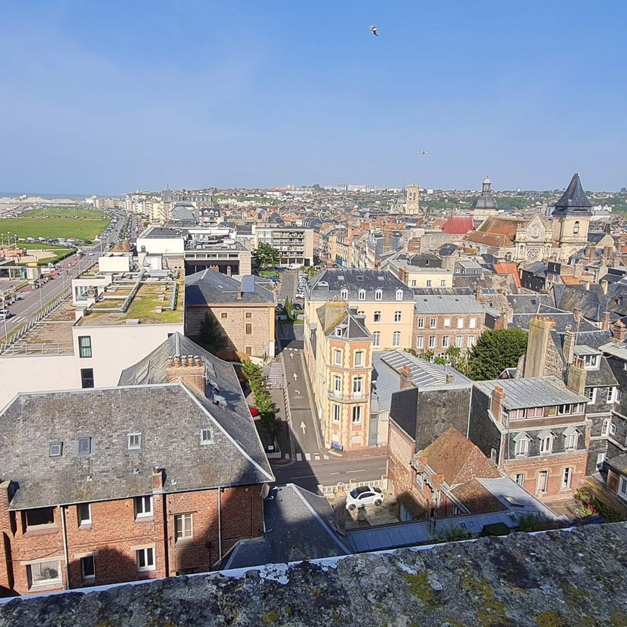
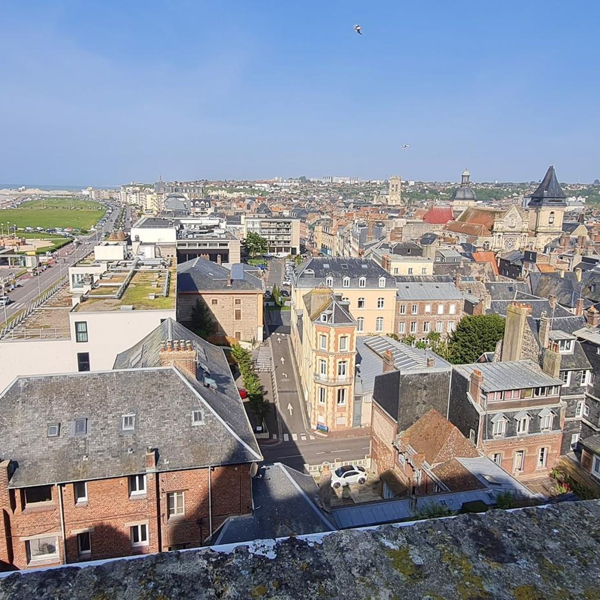
A former fortress, now a museum and open-air attraction. From up there, you'll enjoy a fantastic view of the city.
8
0

Frequently Asked Questions
What kind of running terrain can I expect around Saint-Aubin-sur-Scie?
The region offers a diverse range of terrains for runners. You'll find pleasant, relatively flat routes along the banks of the river Scie, tranquil paths through the Norman countryside, and invigorating coastal runs with sea views near Dieppe. The varying elevations, from 9 to 105 meters, provide options for different fitness levels.
How many running routes are available in the Saint-Aubin-sur-Scie area?
There are over 25 running routes available around Saint-Aubin-sur-Scie, catering to various preferences and fitness levels. You can explore a mix of easy, moderate, and difficult trails.
Are there running routes suitable for all fitness levels?
Yes, Saint-Aubin-sur-Scie offers a good variety of running routes. You'll find 2 easy routes for beginners or those seeking a relaxed jog, 19 moderate routes for a balanced challenge, and 7 difficult routes for experienced runners looking for a more intense workout.
Can I find scenic running trails with viewpoints or natural landmarks?
Absolutely. The area is rich in natural beauty. You can find routes that offer panoramic views of the English Channel, such as those leading towards the historic Ailly Lighthouse. Other trails might take you near dramatic features like the Moutiers Gorge, accessible at low tide, or through the picturesque Vallée de la Scie.
Are there any longer, more challenging running routes for experienced runners?
Yes, for experienced runners, there are several challenging options. One notable difficult route is the Quiberville – Ailly Lighthouse loop from Saint-Aubin-sur-Scie, which spans over 40 km and offers significant elevation changes and coastal views.
What do other runners say about the trails in Saint-Aubin-sur-Scie?
The running routes in Saint-Aubin-sur-Scie are highly regarded by the komoot community, with an average rating of 4.7 stars from 4 reviews. Over 350 runners have explored the varied terrain, often praising the scenic beauty and diverse options available.
Are there circular running routes available in the area?
Yes, many of the running routes around Saint-Aubin-sur-Scie are circular, allowing you to start and finish at the same point. Examples include the Dieppe loop from Saint-Aubin-sur-Scie and the Bois d'Hautot loop from Rouxmesnil-Bouteilles.
Are the running trails around Saint-Aubin-sur-Scie suitable for families?
While specific family-friendly routes are not explicitly detailed, the presence of easy and moderate trails, particularly those along the riverside or through the countryside, suggests options suitable for families looking for a less strenuous run or walk. Always check the route difficulty and length before heading out with children.
Can I bring my dog on the running trails?
Generally, many outdoor trails in rural areas of France are dog-friendly, especially if your dog is kept on a leash. However, it's always advisable to check local signage or specific route descriptions for any restrictions, particularly in protected natural sites or areas with livestock.
What is the best time of year to go running in Saint-Aubin-sur-Scie?
The diverse landscapes of Saint-Aubin-sur-Scie make it suitable for running throughout much of the year. Spring and autumn offer pleasant temperatures and beautiful scenery. Summer can be great for coastal runs, while winter might provide a different, more serene experience, especially on inland trails, though some coastal paths might be more exposed to weather.
Are there options for parking near the running routes?
Given that Saint-Aubin-sur-Scie is a farming village and many routes start from or pass through various points, parking is generally available in or near the starting points of many trails. For routes starting from nearby towns like Dieppe or Rouxmesnil-Bouteilles, public parking facilities are typically accessible.
How accessible are the running routes by public transport?
Saint-Aubin-sur-Scie is located about five miles south of Dieppe, which is a larger town with more public transport connections. While direct public transport to every trailhead within Saint-Aubin-sur-Scie might be limited, accessing the general area via Dieppe and then potentially using local services or a short drive would be the most practical approach for many routes.
Most popular routes around Saint-Aubin-Sur-Scie
Most popular attractions around Saint-Aubin-Sur-Scie

Get inspired with the komoot mobile app


Explore more
Browse the best Running Trails & Routes in other regions.
