The best cycling routes around Donnery
4.5
(1213)
7,170
riders
201
rides
Touring cycling routes around Donnery are characterized by flat or gently undulating terrain, making them accessible for various skill levels. The region is defined by the presence of the Loire River and the Canal d'Orléans, which offer picturesque backdrops and dedicated paths. Extensive forested areas provide refreshing natural environments for outdoor pursuits. Donnery's strategic location connects to broader cycling networks, including the renowned Loire à Vélo route.
Best touring cycling routes around Donnery
- The most popular touring cycling route is…
Last updated: October 14, 2026
5.0
(4)
16
riders
33.1km
02:07
130m
130m
Moderate bike ride. Good fitness required. Mostly paved surfaces. Suitable for all skill levels.
4.5
(6)
19
riders
51.9km
03:35
160m
160m
Moderate bike ride. Good fitness required. Some segments of this route may be unpaved and difficult to ride.

4.5
(13)
119
riders
58.4km
03:29
100m
100m
Moderate bike ride. Good fitness required. Mostly paved surfaces. Suitable for all skill levels.
4.8
(6)
33
riders
95.0km
05:29
160m
160m
Hard bike ride. Very good fitness required. Mostly paved surfaces. Suitable for all skill levels.
4.0
(2)
44
riders
24.3km
01:23
50m
50m
Easy bike ride. Great for any fitness level. Mostly paved surfaces. Suitable for all skill levels.
Get access to more routes and recommendations from other explorers.
Already have an account?
Our route recommendations are based on thousands of hikes, rides, and runs completed by other people on komoot.
Start today with a free account
Your next adventure awaits.

Other adventures around Donnery

Tips from the Community

At the moment, with summer weather, leaving Combleux and heading up towards Montargis, early in the morning, offers beautiful views of the rising sun...
0
0
Between the Loire and the forest, the commune of Mardié is part of the Métropole Orléans Val de Loire, forming its eastern entrance, 12 km from the center of Orléans. With a long history largely marked by viticulture, part of its territory belongs to the Loire Valley section classified as a UNESCO World Heritage site. Quite vast, the commune has an area of 17.3 km² and stretches for about 12 km from Northwest to Southeast with a width of only 4 to 5 km. The relief is marked only by the slopes that delimit the valleys of the Loire and the river Cens, doubled by the Canal d'Orléans. The altitude is between 100 and 120 m. The landscapes are varied and have a lot of character. "Natural" landscapes with the banks of the Loire, the canal and the Cens valley, vast cultivated areas and very extensive woods. Inhabited landscapes with the town center, clustered around a beautiful Romanesque church, a lively district in Pont-aux-Moines with its small shops, very green and airy residential areas, some important hamlets that have retained traditional rural housing mixed with more recent constructions. The commune benefits from the main services and shops, and is well served by public transport to Orléans. Despite demographic growth, which remains controlled (just under 3000 inhabitants), it has retained a fairly marked rural character and remains, in many respects, a village where life is good.
0
0

To do on a mountain bike or walking trip to see the scenery
0
0
A charming place for a walk, hike, jog, or bike ride, as you choose!
0
0
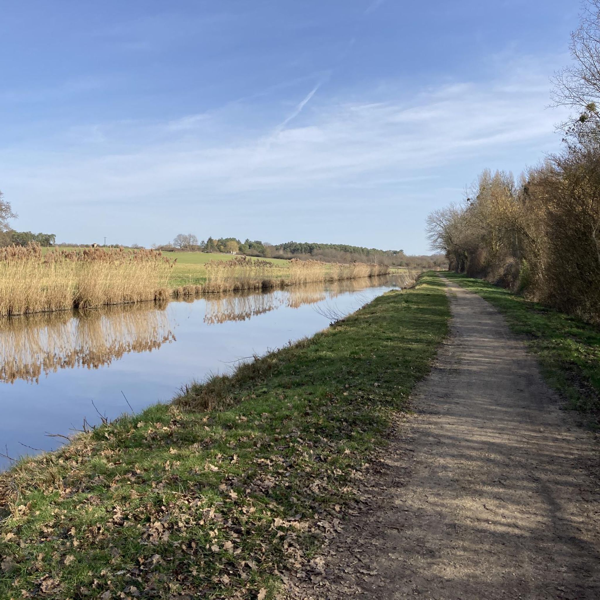
Very beautiful place along the canal, the smells of spring and the birds, superb!
0
0

The ideal place for a zen break
0
0

There's a small café where you can sit under the trees on the terrace, very peaceful. But €3 for an espresso...
0
0

Continue straight ahead to get back on the road without carrying your bikes.
0
0
Frequently Asked Questions
How many touring cycling routes are available around Donnery?
There are over 10 touring cycling routes around Donnery, offering a variety of experiences for different skill levels. These routes are highly rated by the komoot community, with an average score of 4.5 stars from over 900 reviews.
What makes touring cycling in Donnery unique?
Touring cycling in Donnery is unique due to its picturesque setting along the Loire River and the Canal d'Orléans. The region offers flat or gently undulating terrain, making it accessible for various skill levels. It also connects to broader cycling networks, including the renowned Loire à Vélo route, providing scenic journeys through natural landscapes and historical areas.
Are there touring cycling routes suitable for beginners or families in Donnery?
Yes, Donnery offers several easy touring cycling routes perfect for beginners or families. For instance, the Orléans Canal – Moulin-Rouge Lock loop from Donnery is an easy 11.2 km (7 miles) trail that takes approximately 40 minutes to complete, offering a pleasant ride along the canal.
What kind of terrain can I expect on touring cycling routes near Donnery?
The terrain around Donnery is predominantly flat or gently undulating, making for comfortable touring cycling. Routes often follow riverbanks, canals, and disused railway lines, which have been converted into scenic paths. You'll also find routes winding through refreshing forested areas, providing a diverse natural environment.
Are there any circular touring cycling routes around Donnery?
Many of the touring cycling routes around Donnery are designed as loops, allowing you to start and finish in the same location. Popular options include Between canal and forest — loop from Donnery, which is a moderate 33.1 km (20.6 miles) trail, and Canal d'Orléan par Traînou — boucle depuis Donnery, a moderate 51.9 km (32.2 miles) path.
What natural attractions can I discover along the touring cycling routes?
While cycling, you can explore the serene landscapes of the Loire River and the Canal d'Orléans, which often feature dedicated paths. Nearby, you'll find various natural highlights such as the Courpain Nature Reserve, Île Charlemagne Pond, and the Charbonnière Woods Pond, offering opportunities to observe local flora and fauna.
Are there historical sites or landmarks to see while cycling near Donnery?
Yes, the region around Donnery is rich in history. You can cycle towards Châteauneuf-sur-Loire, just 12 km away, which boasts a significant 33-hectare English park around the Château de la Touche and the Châteauneuf-sur-Loire Castle. The Canal d'Orléans itself is a historical landmark with its locks, especially in nearby Combleux. You might also encounter the Isle Castle or the La Motte Castle, Vitry-aux-Loges.
When is the best time of year to go touring cycling in Donnery?
The spring and autumn months generally offer the most pleasant weather for touring cycling in Donnery, with mild temperatures and beautiful scenery. Summer can also be enjoyable, especially along the shaded canal paths and riverbanks, though it can be warmer. Always check local weather forecasts before heading out.
How can I access the touring cycling routes around Donnery by public transport?
While Donnery itself is a smaller commune, the wider Orléanais region is accessible by public transport. For detailed information on bus or train services that accommodate bicycles and connect to Donnery or nearby towns, it's best to consult the local public transport authority's website or a regional tourism portal like tourismeloiret.com for the most up-to-date schedules and bike policies.
Are there any cafes or places to stop for refreshments along the routes?
Many routes in the Donnery area pass through or near charming villages and towns where you can find cafes, bakeries, and restaurants. The towns along the Canal d'Orléans and the Loire River, such as Châteauneuf-sur-Loire or Jargeau, are good places to plan a stop for refreshments. It's always a good idea to carry some snacks and water, especially on longer rides.
What is the longest touring cycling route available from Donnery?
One of the longer touring cycling routes from Donnery is The Banks of the Loire – Canal of Orléans loop from Donnery, which spans 58.4 km (36.3 miles). This moderate route typically takes around 3 hours and 29 minutes to complete, offering extensive views of both waterways.
What are the difficulty levels of touring cycling routes in Donnery?
The touring cycling routes in Donnery cater to various abilities. You'll find easy routes, perfect for a relaxed ride, as well as moderate and a few difficult options for those seeking a longer or more challenging experience. Overall, the region's flat topography makes most routes quite accessible.
Most popular attractions around Donnery

Get inspired with the komoot mobile app


Explore more
Browse the best Cycling routes in other regions.
