The best walks and hikes around Monnières
4.5
(257)
1,641
hikers
181
hikes
Hiking around Monnières offers diverse landscapes within the Loire-Atlantique department of western France. The region is characterized by picturesque vineyards, dense undergrowth, and the Sèvre Nantaise river, which traverses the area for several kilometers. Elevated points, such as the Moulin de la Minière Viewpoint, provide panoramic views over the surrounding countryside. This varied terrain presents a range of hiking opportunities for different skill levels.
Best hiking trails around Monnières
- The most popular hiking route is Mont Roland, a 4.7…
Last updated: June 22, 2026
4.6
(12)
25
hikers
7.50km
02:06
150m
150m
Moderate hike. Good fitness required. Easily-accessible paths. Suitable for all skill levels.
4.3
(4)
32
hikers
11.2km
03:07
220m
220m
Moderate hike. Good fitness required. Easily-accessible paths. Suitable for all skill levels.

Sign up for free
4.7
(3)
25
hikers
11.4km
03:12
230m
230m
Moderate hike. Good fitness required. Easily-accessible paths. Suitable for all skill levels.
5.0
(3)
12
hikers
5.60km
01:33
100m
100m
Easy hike. Great for any fitness level. Easily-accessible paths. Suitable for all skill levels.
5.0
(4)
9
hikers
Moderate hike. Good fitness required. Easily-accessible paths. Suitable for all skill levels.
Get access to more routes and recommendations from other explorers.
Sign up for free
Already have an account?
Our route recommendations are based on thousands of hikes, rides, and runs completed by other people on komoot.
Start today with a free account
Your next adventure awaits.
Login or Signup
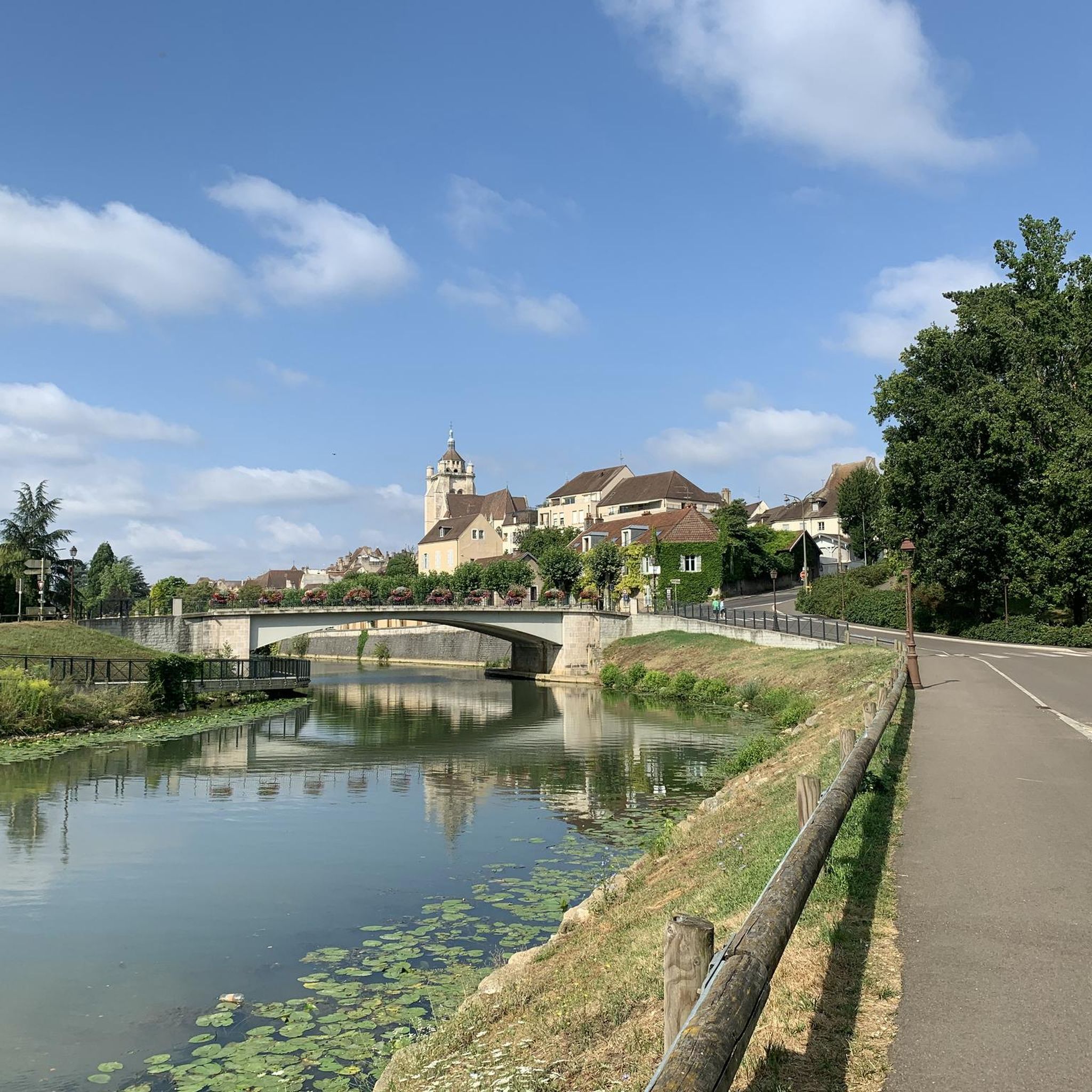
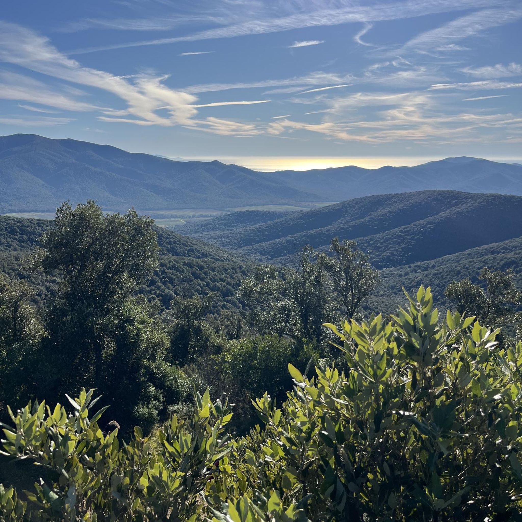
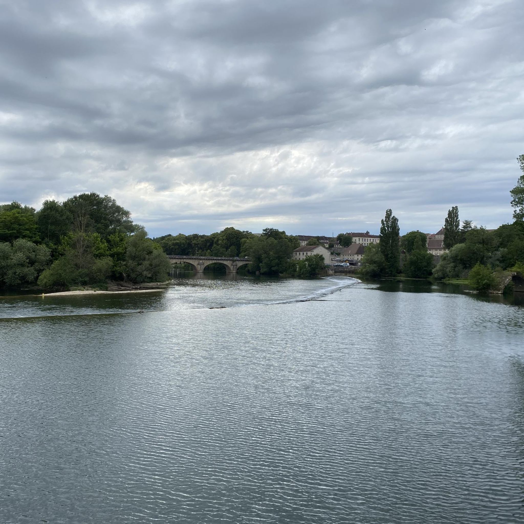

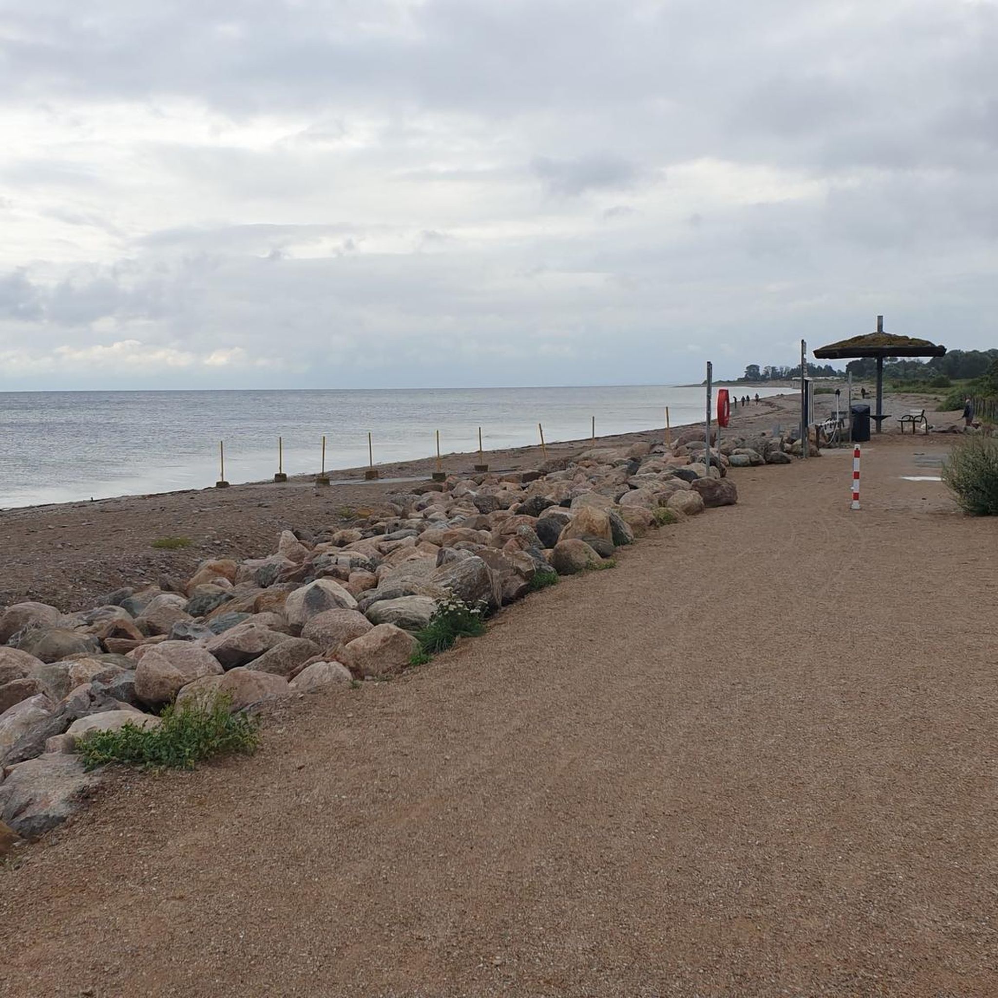
Tips from the Community

From here, you can enjoy breathtaking views of the surrounding fields and forests. A great place to take a break and refuel!
0
0
This shaded path, in the middle of the forest, is particularly pleasant for walking in the middle of summer or in any season.
0
0
The Notre-Dame de Mont-Roland sanctuary, located on the heights of Dole, is an ancient pilgrimage site dedicated to the Virgin Mary. Founded in the 17th century, it includes a chapel, a calvary, and a Stations of the Cross, all surrounded by forest. The site also offers a sweeping panorama of the Doubs Valley and the Jura Mountains.
0
0

Very beautiful view of the Saône plain and Mont Poupet. Free ride in the Chaux forest, Rochefort and cliff, return via Mont Roland
0
0

Clearing ideal for a picnic.
0
0
Sanctuary of the departure of the pilgrimage to Vézelay or to Compostela.
1
0

The Foulatiére source is located on the edge of the undergrowth in the town of Jouhe at the foot of Mont Roland. The presence of ponds and foundations indicate the existence of an old ruined mill, the old millstone still on the site, serves as a picnic table.
0
0

Pilgrimage site in the Jura, located on the Way of St. James.
1
0
Frequently Asked Questions
How many hiking trails are there around Monnières?
Monnières offers a wide variety of hiking opportunities, with over 160 trails available for exploration. These routes cater to different preferences, ranging from easy strolls to more moderate and challenging hikes.
Are there easy hiking trails suitable for beginners or families in Monnières?
Yes, Monnières has numerous easy trails perfect for beginners or families. For example, the Mount Roland – Restaurant mjammie loop from Monnières is an easy 3.5-mile (5.7 km) route that can be completed in about 1 hour 35 minutes, offering a pleasant experience through local paths.
What kind of landscapes can I expect to see while hiking in Monnières?
Hiking in Monnières offers diverse landscapes. You'll find paths winding through picturesque vineyards, dense undergrowth, and along the scenic Sèvre Nantaise river. Elevated points also provide panoramic views over the surrounding countryside, including Monnières and Le Pallet.
Are there any scenic viewpoints or notable attractions along the hiking routes?
Absolutely. A significant attraction for hikers is the Moulin de la Minière Viewpoint, which offers remarkable panoramic views over Monnières and the surrounding areas. Additionally, you might encounter historical sites like the Notre-Dame Collegiate Church or the Washhouse of the Source of the Fountain in nearby areas, adding cultural interest to your hike.
What do other hikers enjoy most about the trails in Monnières?
The hiking trails in Monnières are highly rated by the komoot community, with an average score of 4.5 stars from over 250 reviews. Hikers frequently praise the varied terrain, which includes charming vineyard paths, riverside walks, and routes with rewarding panoramic views.
Are there any circular hiking routes in Monnières?
Yes, many of the trails in Monnières are designed as circular routes, allowing you to start and end at the same point. An example is the Source of the Foulatière – Plain (clearing) loop from Sampans, a moderate 6.9-mile (11.1 km) path that explores natural clearings and water sources.
Can I hike along the Sèvre Nantaise river?
Yes, the Sèvre Nantaise river traverses Monnières for several kilometers, offering beautiful river hikes. These routes provide a different perspective of the local scenery, often through navigable stretches of the river.
What is the best time of year to go hiking in Monnières?
Monnières offers appealing hiking conditions throughout much of the year. The landscapes, particularly the vineyards, change with the seasons, providing unique scenery. Spring and autumn are generally ideal for comfortable temperatures and vibrant natural colors, while summer offers longer daylight hours.
Are there any more challenging hikes for experienced trekkers?
While most trails are easy to moderate, there are some routes that offer a bit more challenge. For instance, the Section in the middle of the forest – Beautiful view of the surroundings loop from Monnières is a moderate 8.9-mile (14.3 km) route with over 200 meters of elevation gain, providing a more strenuous experience.
Is there parking available near the hiking trails in Monnières?
While specific parking locations for every trail are not detailed, Monnières is generally accessible, and you can typically find parking in or near the commune, especially at popular starting points for trails or near local amenities.
Are there any amenities like picnic areas or places to relax after a hike?
Yes, areas around Monnières are equipped with amenities to enhance your outdoor experience. You can find picnic tables, outdoor games, and boules games, providing ideal spots for relaxation after completing a hike.
Most popular routes around Monnières
Most popular attractions around Monnières

Get inspired with the komoot mobile app


Explore more
Browse the best Hikes in other regions.
