The best road cycling routes around Tavaux
4.5
(147)
4,800
riders
348
rides
Road cycling routes around Tavaux, located in France's Jura department, traverse diverse landscapes including lush forests, verdant valleys, and extensive vineyards. The region is characterized by the foothills of the Jura Mountains and the serene Loue River, offering varied terrain for cyclists. Routes often follow the Canal du Rhône au Rhin and pass through areas like Foret de Rahon and Bois de Bard. The topography provides a mix of flat sections and gentle ascents, suitable for road cycling.
Best road…
Last updated: July 6, 2026
56
riders
Easy road ride. Great for any fitness level. Mostly well-paved surfaces and easy to ride.
4.0
(2)
16
riders
Moderate road ride. Good fitness required. Mostly well-paved surfaces and easy to ride.

Sign up for free
5.0
(1)
14
riders
54.6km
02:07
130m
130m
Moderate road ride. Good fitness required. Mostly well-paved surfaces and easy to ride.
6
riders
Easy road ride. Great for any fitness level. Mostly well-paved surfaces and easy to ride.
3
riders
Easy road ride. Great for any fitness level. Mostly well-paved surfaces and easy to ride.
Get access to more routes and recommendations from other explorers.
Sign up for free
Already have an account?
Our route recommendations are based on thousands of hikes, rides, and runs completed by other people on komoot.
Start today with a free account
Your next adventure awaits.
Login or Signup
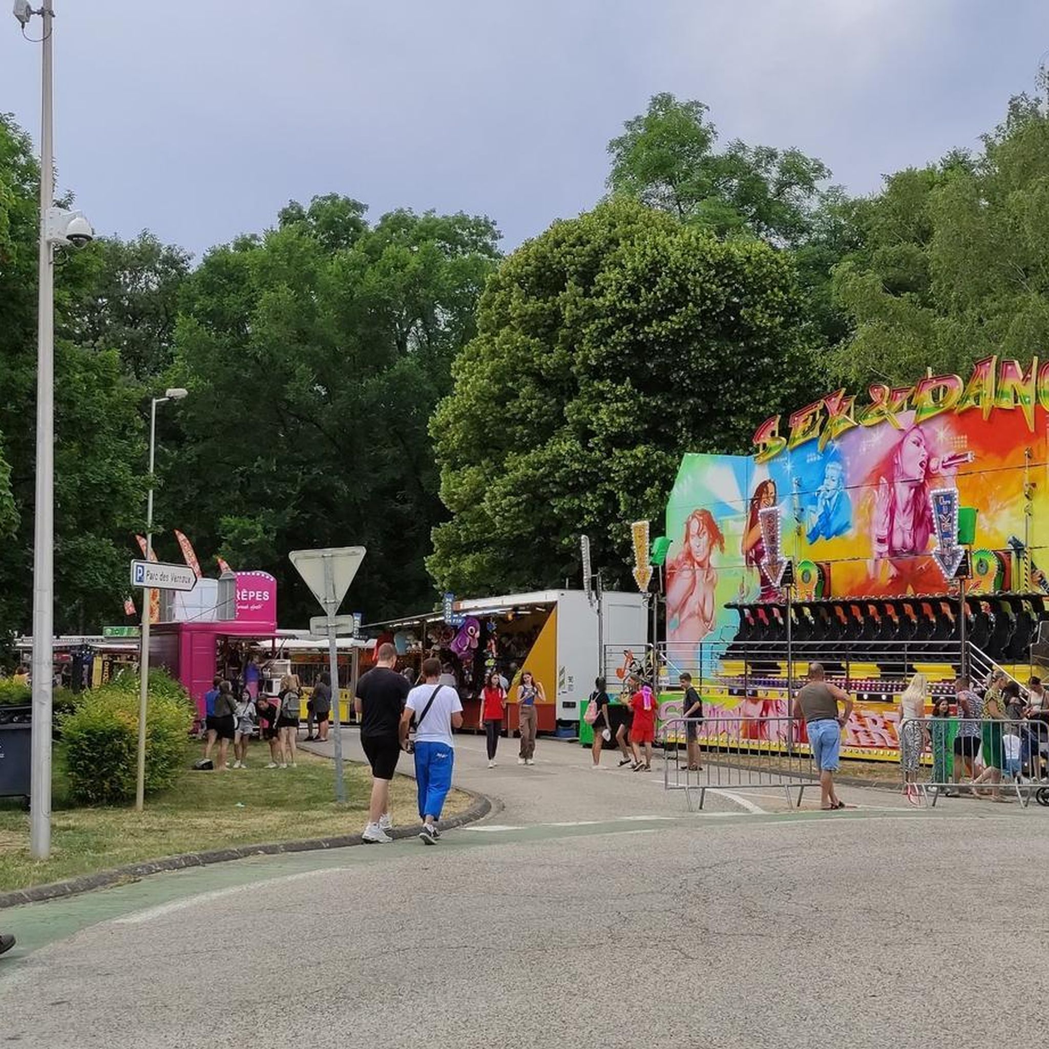
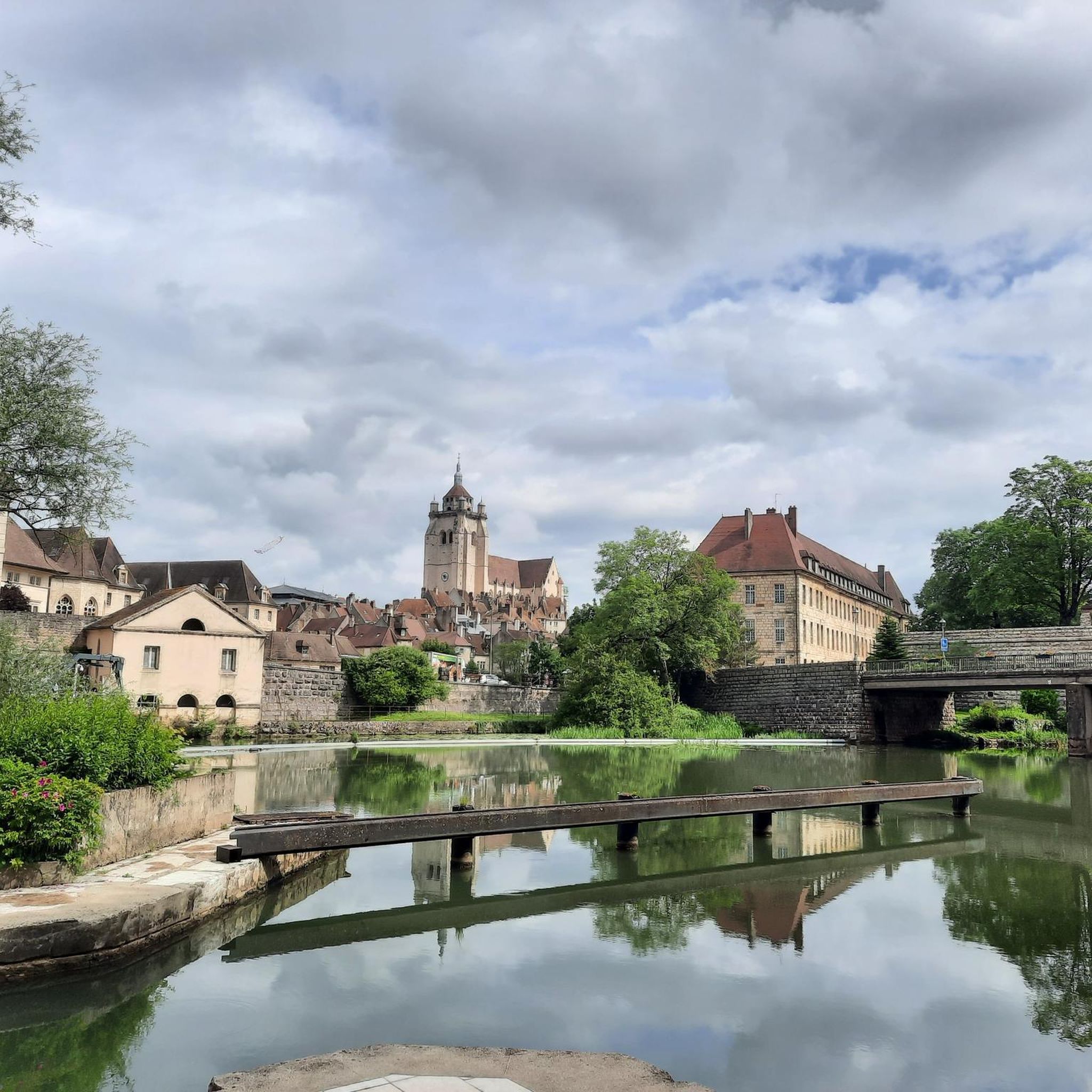
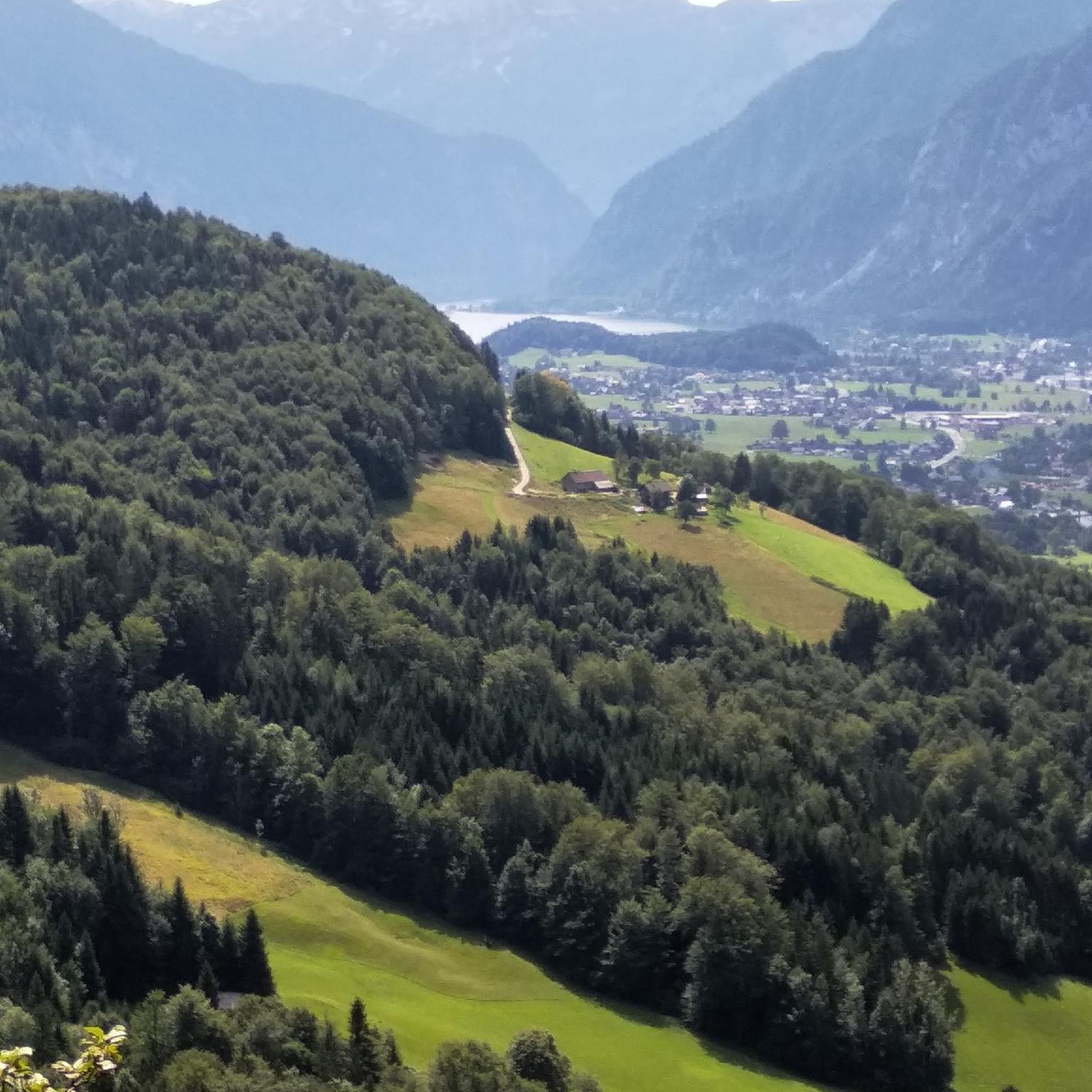

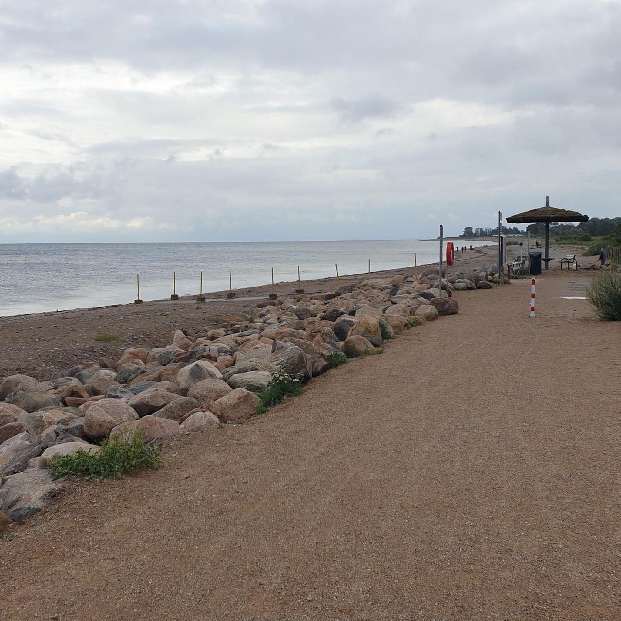
Tips from the Community

A small, nice place. Before the bridge, there is a bakery.
0
0

Stop by and have a nice coffee on the morning, or a cold beer on the sidewalk. Very nice and calm place to relax before keeping biking
0
0

Originally, the Saint-Jean-de-Losne bridge was made of wood and crossed the river diagonally by road no. 27 linking Dijon to Losne. It started on the right bank, a little downstream from the current bridge, and then joined the old Seurre road. The structure was destroyed many times by floods and ice break-ups, but was always rebuilt in the same place until 1830. It was rebuilt in stone from 1833, then rebuilt again after being cut down during the war of 1870… The bridge suffered damage from the war twice more. On June 16, 1940, French engineers blew up an arch, and on September 7, 1944, the retreating Germans dynamited the rest. It was then replaced by a temporary wooden footbridge. After the liberation, the reconstruction work was put out to tender. After all these twists and turns, the bridge was finally rebuilt in the same place in 1950.
0
0

For a hiker, all locks look the same, automated or not.
1
0

A lovely spot with good food – beautiful steps down to the river. Very relaxed!
2
0

This section runs alongside the Rhine-Rhône Canal and is part of the EuroVelo 6 route. The canal's lively atmosphere is delightful. The cycle path is well-maintained and the setting is very pleasant.
1
0

Small peaceful road which spans the Saône at Les Maillys.
0
0
Frequently Asked Questions
How many road cycling routes are available around Tavaux?
There are over 350 road cycling routes available around Tavaux, offering a wide variety of options for cyclists of all levels. The komoot community has explored these routes more than 4,000 times, highlighting the region's popularity for road biking.
What is the best time of year for road cycling in Tavaux?
The summer months, from July to August, are considered the peak season for road cycling in Tavaux due to pleasant temperatures. Autumn also offers an appealing experience with cooler weather and vibrant fall foliage, providing picturesque scenery for your rides.
What kind of terrain can I expect on road cycling routes around Tavaux?
The Tavaux region offers diverse terrain, from flat sections along the Canal du Rhône au Rhin to gentle ascents in the foothills of the Jura Mountains. You'll find routes winding through lush forests like Foret de Rahon and Bois de Bard, verdant valleys, and extensive vineyards, providing a mix of challenges and scenic beauty.
Are there road cycling routes suitable for beginners or families in Tavaux?
Yes, Tavaux offers many routes suitable for beginners and families. The region features numerous 'greenways'—dedicated lanes and paths exclusively for cyclists—perfect for leisurely outings. Approximately 88 of the routes are classified as easy, such as the Stone at the water's edge – Dole, medieval town loop from Dole – Jura Airport, which is an easy 11.9-mile trail.
Are there circular road cycling routes around Tavaux?
Yes, many road cycling routes around Tavaux are designed as loops, allowing you to start and finish in the same location. Examples include the La Loue River – Stone at the water's edge loop from Gevry, which offers views along the peaceful Loue River, and the Saint-Jean-de-Losne – Pont St-Jean-de-Losne loop from Gevry, leading through the flat plains.
What natural features can I see while road cycling near Tavaux?
While cycling near Tavaux, you can explore several natural features. Routes often pass through extensive forests such as Foret de Rahon, Foret de Pochon, and Bois de Bard. You'll also encounter the serene Loue River and cycle through picturesque vineyards, especially appealing during the autumn harvest season. The Jura Regional Nature Park is also nearby, offering rich flora and fauna.
Are there any historical landmarks or points of interest along the road cycling routes?
Yes, several routes pass by notable landmarks. For instance, the historic city of Dole is a significant attraction, where you can see the Notre-Dame Collegiate Church, a 16th-century landmark. You might also encounter the Dole Lock on the Rhine-Rhône Canal and other historical sites like the Washhouse of the Source of the Fountain.
Can I combine road cycling with other activities like wine tasting in the Tavaux region?
Absolutely. The Tavaux region is surrounded by vineyards, making it ideal to combine your road cycling trips with visits to local vineyards for guided tours and wine-tasting sessions. This allows you to experience the Jura region's unique wine production, including the famous Vin Jaune.
What do other road cyclists enjoy most about road cycling in Tavaux?
The road cycling routes in Tavaux are highly rated by the komoot community, with an average score of 4.5 stars from over 140 reviews. Cyclists often praise the diverse landscapes, which include vineyards, river valleys, and extensive forests, as well as the variety of routes suitable for different ability levels, from flat paths to routes with gentle climbs.
Are there any routes that follow canals or rivers?
Yes, many routes in the Tavaux area utilize the peaceful waterways. You can find loops along the Canal du Rhône au Rhin, which is part of the Eurovelo Route 6, offering flat and scenic rides. The La Loue River – Stone at the water's edge loop from Gevry is another excellent option that provides views along the serene Loue River.
What is the elevation gain like on road cycling routes near Tavaux?
The elevation gain on road cycling routes near Tavaux varies. Many routes, especially those along canals and rivers, feature minimal elevation, making them suitable for easier rides. For example, the Stone at the water's edge – Dole, medieval town loop from Dole – Jura Airport has only about 40 meters of elevation gain. Other routes, particularly those venturing towards the Jura Mountains foothills, can have moderate climbs, such as the Rhône–Rhine Canal (EV6) – Dole loop from Gevry, which includes over 500 meters of ascent.
Most popular attractions around Tavaux

Get inspired with the komoot mobile app


Explore more
Browse the best Road cycling routes in other regions.
