The best walks and hikes around Bure-Les-Templiers
4.6
(105)
436
hikers
32
hikes
Hiking trails around Bure-les-Templiers offer diverse landscapes within the Côte-d'Or department of the Bourgogne-Franche-Comté region. The area features varied terrain, including valleys, plateaus, and extensive forested areas, with altitudes ranging from 302 to 483 meters. Notable natural features include the Marais du Cônois marsh and the Réserve Naturelle de Chalmessin, providing opportunities for nature walks and exploration. The region's topography supports a range of hiking experiences, from gentle walks to more challenging routes.
Best hiking trails around Bure-Les-Templiers
- The most…
Last updated: July 4, 2026
5.0
(1)
9
hikers
10.4km
02:51
170m
170m
Moderate hike. Good fitness required. Mostly accessible paths. Sure-footedness required.
5.0
(1)
6
hikers
14.8km
04:12
320m
320m
Moderate hike. Good fitness required. Easily-accessible paths. Suitable for all skill levels.

Sign up for free
5
hikers
7.12km
01:58
130m
130m
Easy hike. Great for any fitness level. Easily-accessible paths. Suitable for all skill levels.
6
hikers
5.86km
01:39
120m
120m
Easy hike. Great for any fitness level. Easily-accessible paths. Suitable for all skill levels.
5.0
(1)
4
hikers
12.2km
03:22
210m
210m
Moderate hike. Good fitness required. Easily-accessible paths. Suitable for all skill levels.
Get access to more routes and recommendations from other explorers.
Sign up for free
Already have an account?
Our route recommendations are based on thousands of hikes, rides, and runs completed by other people on komoot.
Start today with a free account
Your next adventure awaits.
Login or Signup
Tips from the Community

horseback riding from age seven
0
0
Frequently Asked Questions
How many hiking trails are available around Bure-les-Templiers?
You'll find nearly 30 hiking trails around Bure-les-Templiers, offering a range of experiences from easy strolls to more challenging routes. The komoot community has rated these trails highly, with an average score of 4.5 stars.
What kind of landscapes and terrain can I expect on hikes in this region?
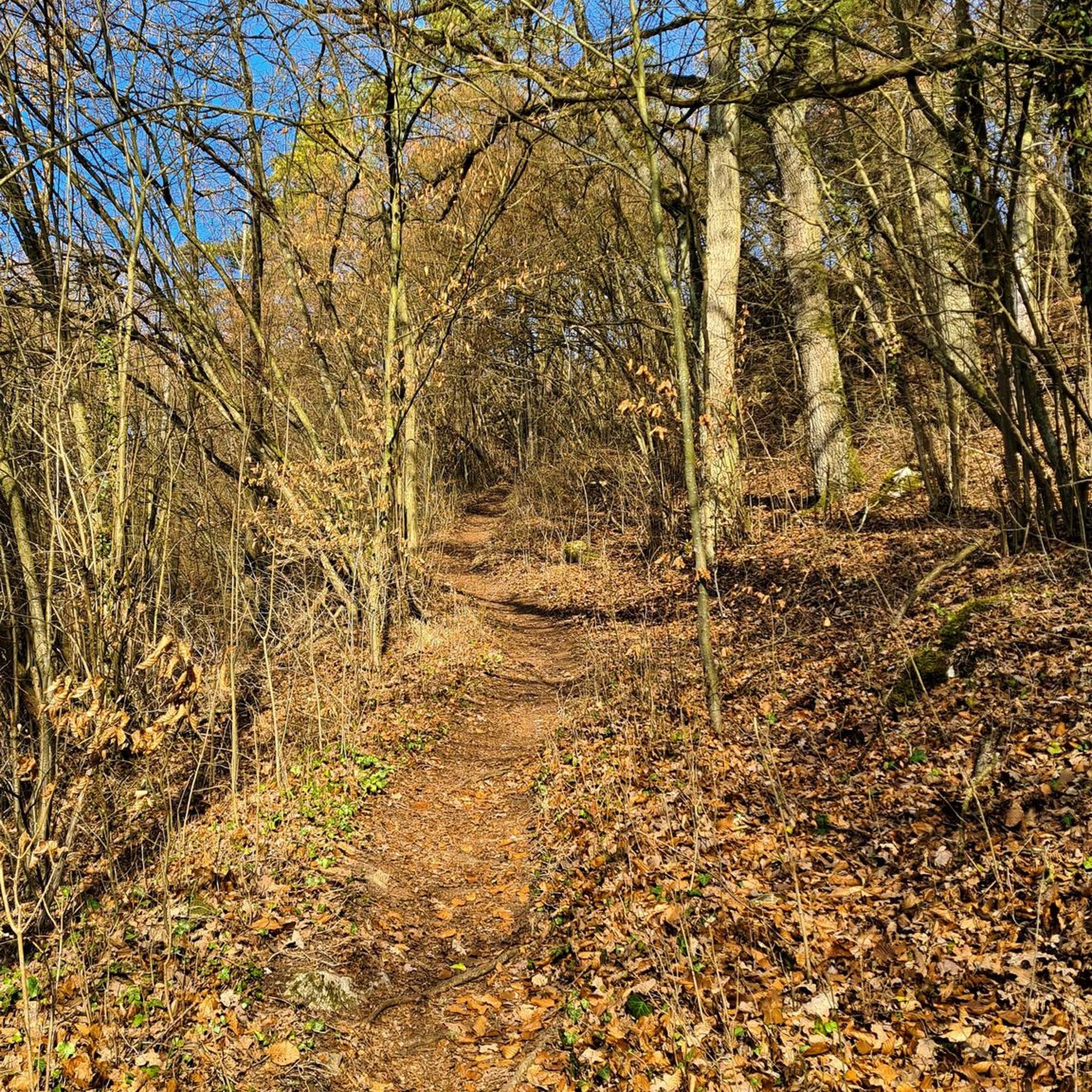
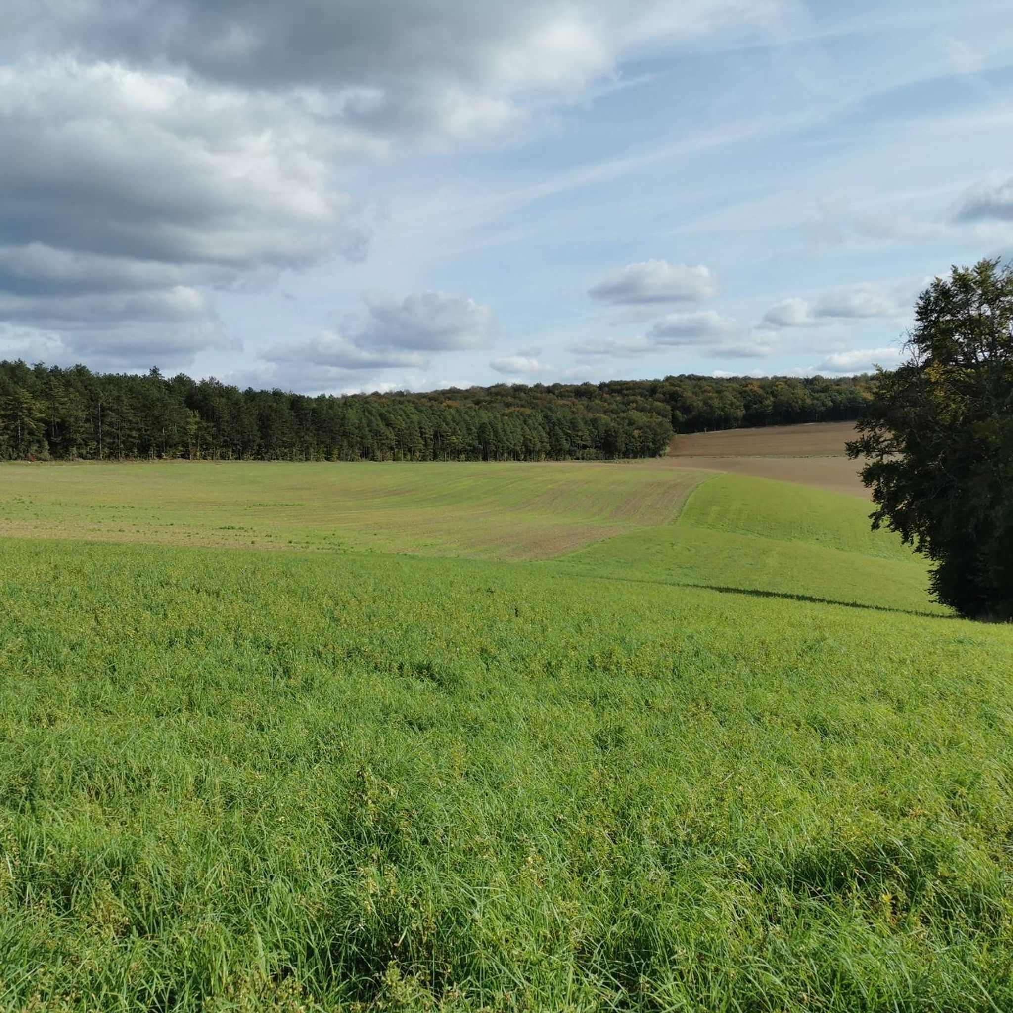
The region around Bure-les-Templiers offers a diverse landscape, characterized by a picturesque blend of fields and forests, tranquil valleys, and elevated plateaus. You'll encounter varied terrain, including extensive woodlands, open fields, and unique marsh ecosystems like the Marais du Cônois. Elevations range from 302 to 483 meters, providing gentle undulations rather than steep climbs.
Are there any easy or family-friendly hiking options?
Yes, there are 9 easy routes perfect for beginners or families. A great option is the Ancienne fontaine – Aérodrome Privé loop from Recey-sur-Ource, which is 7.1 km long and takes about 2 hours to complete. Another accessible choice is the Saint-Rémi Church loop from Recey-sur-Ource, covering 6.6 km.
What are some notable natural features or viewpoints to look out for?
The area is rich in natural beauty. You can explore the Chalmessin Nature Reserve, a vital marshland known for its diverse flora and fauna. The Valley of the Brévon offers a tranquil, shaded environment with lively streams. The region is also near the Parc National de Forêts, highlighting its extensive forested character.
Are there any historical sites or attractions along the trails?
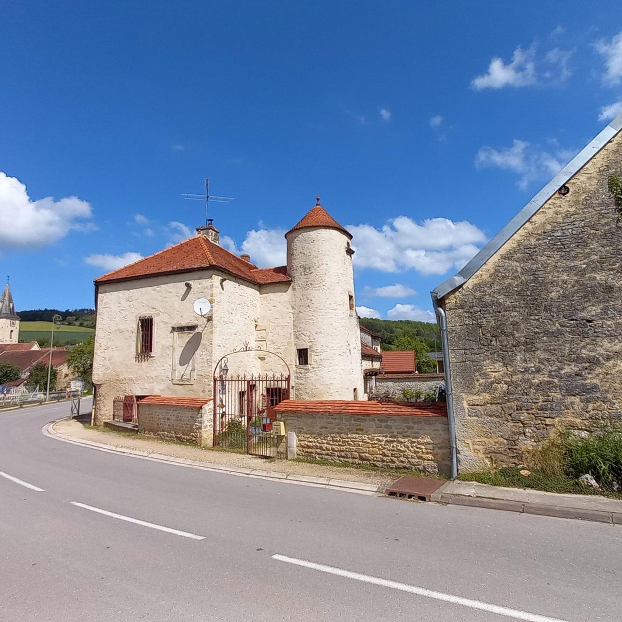
Absolutely. Bure-les-Templiers has a rich history, notably with the Knights Templar. You can visit the ruins of an ancient Templar commandery and the adjoining 12th-century Romanesque Saint-Julien Church. A short distance away, the Grancey-le-Château Castle is another architectural highlight.
Are there any circular hiking routes available?
Many of the trails around Bure-les-Templiers are circular, allowing you to start and end at the same point. For example, the Hiking loop from Saint-Broing-les-Moines is a moderate 10.4 km circular path that takes you through woodlands and open fields. Another option is the Étang de la Juchère loop from Colmier-le-Bas, a 15 km route through forested areas.
What is the best time of year to go hiking in Bure-les-Templiers?
The local climate, characterized by temperate conditions with cool summers, makes much of the year suitable for hiking. Spring and summer offer lush greenery, while autumn brings vibrant colors to the extensive forests. Be aware that autumn and winter can bring frequent fogs, adding a mystical atmosphere but requiring appropriate gear.
What do other hikers enjoy most about the trails in Bure-les-Templiers?
The trails in Bure-les-Templiers are highly rated by the komoot community, with an average score of 4.5 stars from over 90 reviews. Hikers often praise the quiet woodlands, varied terrain, and the sense of tranquility found in this rural setting. The well-maintained paths and diverse scenery are frequently highlighted.
Is there parking available near the trailheads?
While specific parking details for every trailhead are not provided, Bure-les-Templiers is a rural commune, and parking is generally available in or near the villages where many routes begin. It's advisable to check local signage upon arrival or consult detailed route descriptions on komoot for specific parking recommendations.
Can I bring my dog on the hiking trails?
Many trails in rural France are dog-friendly, especially if your dog is well-behaved and kept on a leash. However, always be mindful of local regulations, especially when passing through agricultural land or nature reserves like the Réserve Naturelle de Chalmessin, where specific rules for pets might apply to protect wildlife.
Are there any longer, more challenging hikes for experienced trekkers?
Yes, while many routes are easy to moderate, there are 3 more difficult trails for those seeking a greater challenge. These routes often involve longer distances and more significant elevation changes, providing a rewarding experience for experienced hikers. The Étang de la Juchère loop from Colmier-le-Bas, at 15 km, offers a good moderate challenge.
Most popular attractions around Bure-Les-Templiers

Get inspired with the komoot mobile app


Explore more
Browse the best Hikes in other regions.
