The best road cycling routes around Salives
4.7
(14)
275
riders
61
rides
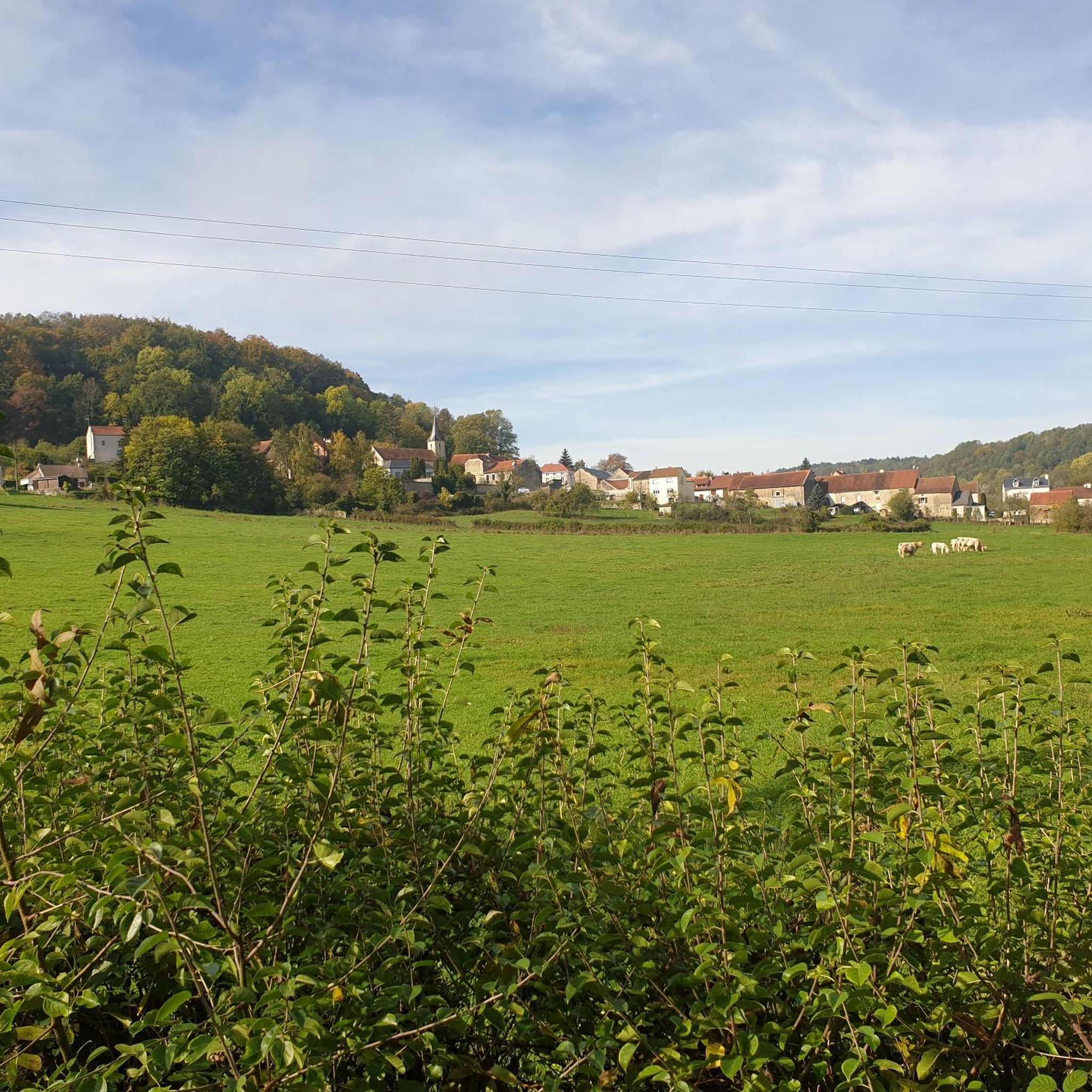
Road cycling routes around Salives offer diverse experiences within the Côte-d'Or department of eastern France. The region features a varied topography with elevations ranging from approximately 343 to 527 meters, characterized by rolling hills and green valleys. Cyclists can expect quiet country roads winding through lush forests and past historical villages. This area provides a blend of natural landscapes and cultural exploration for road cyclists.
Best road cycling routes around Salives
- The most popular road cycling route is Ignon Valley…
Last updated: July 2, 2026
5.0
(1)
8
riders
55.0km
02:22
470m
470m
Moderate road ride. Good fitness required. Mostly well-paved surfaces and easy to ride.
5
riders
Hard road ride. Very good fitness required. Mostly well-paved surfaces and easy to ride.

Sign up for free
5.0
(1)
3
riders
26.4km
01:11
280m
280m
Easy road ride. Great for any fitness level. Mostly well-paved surfaces and easy to ride.
2
riders
54.2km
02:30
600m
600m
Moderate road ride. Good fitness required. Mostly well-paved surfaces and easy to ride.
3
riders
70.3km
03:11
720m
720m
Moderate road ride. Good fitness required. Mostly well-paved surfaces and easy to ride.
Get access to more routes and recommendations from other explorers.
Sign up for free
Already have an account?
Our route recommendations are based on thousands of hikes, rides, and runs completed by other people on komoot.
Start today with a free account
Your next adventure awaits.
Login or Signup

Tips from the Community

In 2025, the area around the canal port was renovated. The place, which was a bit gloomy before, is now much more welcoming.
0
0


The history of this very interesting church dates back to the 6th century. The parish website provides many interesting details about the building: https://www.saint-michel-dijon.com/
3
0

Not only rivers as natural watercourses run through the country, but also many - artificially created - canals. In times long past, they were an essential part of the transport infrastructure, before rail and road took over this role. But even if this canal flowing through Burgundy is nowhere near as famous as the almost legendary "Canal du Midi" (which has at least been declared a UNESCO World Heritage Site), the "Canal de Bourgogne" here near Dijon offers very nice opportunities for exercise in nature.
1
0

In the middle of Dijon, around the Île sur Canards, there is a small harbor in the Canal de Bourgogne
3
0

Pay attention to the city center of Dijon. In rainy weather, the Burgundy stone on the ground is very slippery
0
0

The path always leads along the Seine. Only at Semond does it go off the beaten track up a hill and then back to the river
3
0
Very nice path along the Seine with almost no traffic.
3
0
Frequently Asked Questions
How many road cycling routes are available around Salives?
There are over 60 road cycling routes available around Salives, offering diverse experiences for all skill levels. These include 4 easy routes, 48 moderate routes, and 8 difficult routes.
What kind of terrain and elevation can I expect on road cycling routes near Salives?
The Salives region features varied topography, with elevations ranging from approximately 343 to 527 meters. Cyclists can expect rolling hills and gentle climbs, with routes offering average lengths of 3.4 km and 162 meters of total ascent. The terrain includes quiet country roads winding through green valleys and lush forests.
Are there any easy road cycling routes suitable for beginners or casual rides?
Yes, there are easy road cycling routes around Salives. For example, the Moloy – Montée des Suchaux loop from Léry is an easy 26.4 km route with an elevation gain of 280 meters, typically completed in about 1 hour 12 minutes.
What historical or natural landmarks can I see while road cycling near Salives?
While road cycling near Salives, you can explore a rich blend of historical and natural features. The medieval village of Salives itself boasts remains of a keep, ramparts, and the historic Montarmet door. Nearby attractions include Grancey-le-Château Castle with its distinctive colorful roof tiles, and the Saint Germain church. You might also pass by the source of the River Tille and lush forests.
Are there any scenic viewpoints along the road cycling routes?
Yes, the varied topography of the Salives region offers several scenic viewpoints. The View of Léry – Moloy loop from Casemate Militaire, for instance, provides expansive views over the landscape. Additionally, the route forestière des Grolles (GR7) offers a viewpoint over Quinquendolle combe, providing picturesque vistas of the green valleys.
Can I find circular road cycling routes starting from Salives?
Many of the road cycling routes around Salives are designed as loops, allowing you to start and finish in the same location. Examples include the Ignon Valley – Francheville Washhouse loop from Léry and the Burgundy Canal – Ascent from Plombières to Pasques loop from Casemate Militaire.
What is the best time of year for road cycling in the Salives region?
The Bourgogne-Franche-Comté region, where Salives is located, is generally pleasant for cycling from spring through autumn. These seasons offer mild temperatures and lush green landscapes, making for ideal conditions to explore the quiet country roads and rolling hills.
Are there family-friendly road cycling options around Salives?
While specific dedicated family paths are not detailed, the presence of easy routes like the Moloy – Montée des Suchaux loop from Léry suggests options for families seeking less challenging rides. The region's quiet country roads also contribute to a safer and more enjoyable experience for families.
Is Salives accessible by public transport for cyclists?
Information regarding specific public transport options to Salives with bike access is limited. It is advisable to check regional transport services or consider driving to Salives, especially if traveling with your own bicycle.
Where can cyclists park their cars in Salives?
As a charming medieval village, Salives likely offers public parking areas within or near the village center. Cyclists planning to start their routes from Salives should look for designated parking spaces upon arrival.
Do I need any special permits to cycle in the Burgundy region?
Generally, no special permits are required for road cycling on public roads and designated cycle paths in the Burgundy region of France. However, it's always good practice to respect local regulations and private property signs, especially when venturing into communal woods or specific natural areas.
What do other road cyclists enjoy the most about road cycling in Salives?
The road cycling routes around Salives are highly rated by the komoot community, with an average score of 4.7 stars from over 10 reviews. Reviewers often praise the diverse terrain, the quiet country roads, and the blend of natural beauty with historical charm found in the region.
Most popular routes around Salives
Most popular attractions around Salives

Get inspired with the komoot mobile app


Explore more
Browse the best Road cycling routes in other regions.
