The best walks and hikes around Saint-Sauveur
4.4
(198)
1,362
hikers
76
hikes
Hiking around Saint-Sauveur offers diverse landscapes within the Laurentian Mountains of Quebec. The region is characterized by verdant valleys, scenic rock formations, and peaceful lakes, providing varied terrain for outdoor activities. Extensive trail networks wind through dense woodlands and offer panoramic views, catering to different skill levels. The area's geography supports a wide range of hiking experiences, making it a notable destination for exploring natural features.
Best hiking trails around Saint-Sauveur
- The most popular hiking route is Garonne Riverbanks –…
Last updated: June 25, 2026
4.0
(6)
33
hikers
8.69km
02:18
90m
90m
Moderate hike. Good fitness required. Easily-accessible paths. Suitable for all skill levels.
14
hikers
8.54km
02:19
120m
120m
Moderate hike. Good fitness required. Easily-accessible paths. Suitable for all skill levels.

Sign up for free
13
hikers
7.39km
01:51
10m
10m
Easy hike. Great for any fitness level. Easily-accessible paths. Suitable for all skill levels.
5.0
(1)
14
hikers
5.04km
01:16
0m
0m
Easy hike. Great for any fitness level. Easily-accessible paths. Suitable for all skill levels.
3.0
(1)
4
hikers
13.5km
03:35
140m
140m
Moderate hike. Good fitness required. Easily-accessible paths. Suitable for all skill levels.
Get access to more routes and recommendations from other explorers.
Sign up for free
Already have an account?
Our route recommendations are based on thousands of hikes, rides, and runs completed by other people on komoot.
Start today with a free account
Your next adventure awaits.
Login or Signup



Tips from the Community

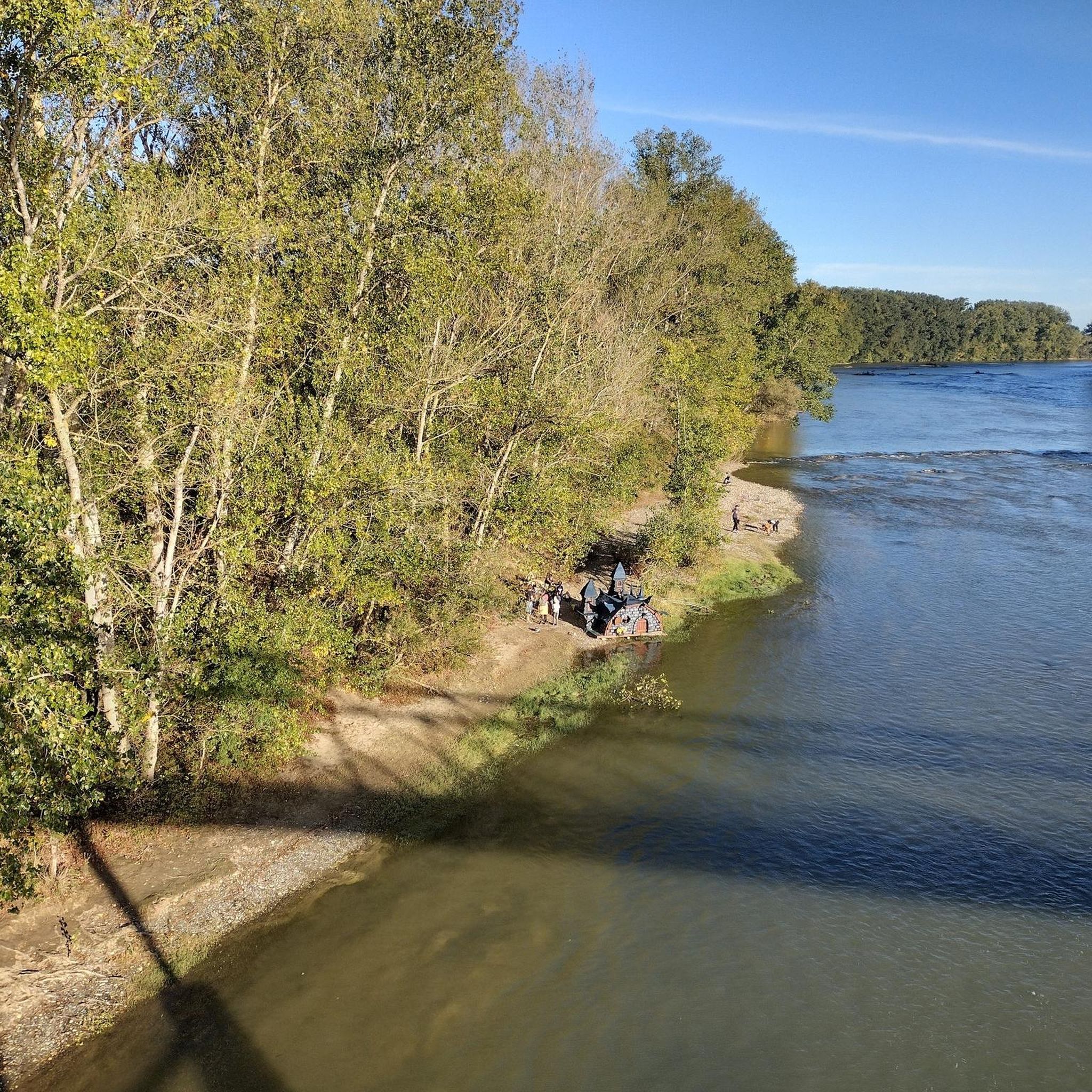
It is curious to see how the canal passes over the river by a bridge, like the old aqueducts.
0
0

Very pleasant and accessible circuit with beautiful viewpoints. The time indicated is generous.
0
0

Beautiful section of the canal, watch out for the cobblestones for road bikes.
0
0

Small lock on the Canal Lateral du Garonne. More information: https://de.wikipedia.org/wiki/Canal_lat%C3%A9ral_%C3%A0_la_Garonne?wprov=sfla1
2
0
Here the canal crosses the Hers, the path is a bit stony. More information: https://de.wikipedia.org/wiki/Canal_lat%C3%A9ral_%C3%A0_la_Garonne?wprov=sfla1
2
0

Built in 1840, the Hers Canal Bridge spans the Hers, also called Hers-Mort. This 89 km river flows into the Garonne about 2 km from the canal bridge.
2
0
Frequently Asked Questions
How many hiking trails are available around Saint-Sauveur?
The Saint-Sauveur region offers a wide variety of hiking options. On komoot, you can find over 70 routes, ranging from easy strolls to more challenging ascents, ensuring there's something for every skill level.
What kind of terrain can I expect on hikes in Saint-Sauveur?
Hikes in Saint-Sauveur are characterized by the diverse landscapes of the Laurentian Mountains. You'll encounter verdant valleys, scenic rock formations, and peaceful lakes. Trails often wind through dense woodlands, offering varying levels of elevation gain and panoramic views.
Are there any easy, family-friendly hikes in Saint-Sauveur?
Yes, Saint-Sauveur has many options suitable for families. The region offers numerous easy paths and strolls, particularly around its peaceful lakes and along less strenuous sections of its extensive trail networks. Look for routes with minimal elevation gain for a comfortable family outing.
Where can I find challenging hikes near Saint-Sauveur?
For more challenging hikes, consider exploring areas like the Alfred-Kelly Nature Reserve or Parc Régional de Val-David Val-Morin, both within a short drive. These parks feature trails with significant elevation gains and more rugged terrain, such as the Paradise Lake Loop or Mount Condor via Condor, Hare, and Goose Trail.
What are the best times of year to go hiking in Saint-Sauveur?
Saint-Sauveur is a year-round destination for outdoor enthusiasts. Spring and fall offer vibrant foliage and comfortable temperatures, while summer provides lush greenery. Even in winter, many trails are accessible for snowshoeing or cross-country skiing, transforming the landscape into a snowy wonderland.
Are there any circular hiking routes in the Saint-Sauveur area?
Yes, the region offers many loop trails that allow you to start and end at the same point, providing a convenient hiking experience. You can find various loops exploring areas like Mont Loup-Garou and Lac Matley, or within reserves like Alfred-Kelly.
What kind of natural features or viewpoints can I expect to see on hikes?
Hikes in Saint-Sauveur often lead to stunning natural features and viewpoints. You can expect to see picturesque rock formations, peaceful lakes, and verdant panoramas across the Saint-Sauveur Valley and the Laurentian Mountains. Some trails offer expansive views from higher elevations.
Are there any trails suitable for dog walking in Saint-Sauveur?
Many trails in the Saint-Sauveur region are dog-friendly, allowing you to enjoy the outdoors with your canine companion. It's always a good idea to check specific park regulations or trail signage beforehand, but generally, the extensive networks offer plenty of options for walks with your dog.
What do other hikers enjoy most about hiking in Saint-Sauveur?
The area is highly rated by the komoot community, with an average score of 4.4 stars from over 150 reviews. Hikers often praise the diverse landscapes, the well-maintained trails, and the peaceful atmosphere found within the Laurentian Mountains.
Are there any hiking trails with waterfalls near Saint-Sauveur?
While the region is known for its lakes and rivers, specific prominent waterfalls on hiking trails are less commonly highlighted. However, the diverse terrain and water features mean you might encounter smaller cascades or scenic river sections, especially after rainfall.
Can I access hiking trails in Saint-Sauveur using public transport?
Access to some trailheads in Saint-Sauveur might be possible via local public transport, but many of the more extensive networks and nature reserves are best reached by car. It's advisable to check local bus schedules and routes if you plan to rely on public transport for trailhead access.
Are there options for longer day hikes near Saint-Sauveur?
Yes, for those seeking longer day hikes, the region offers several options. Trails within Parc Régional de Val-David Val-Morin or the Alfred-Kelly Nature Reserve can be combined or extended to create longer routes. The 'Le P'tit Train du Nord' Linear Park also offers extensive distances suitable for long walks.
Most popular routes around Saint-Sauveur
Most popular attractions around Saint-Sauveur

Get inspired with the komoot mobile app


Explore more
Browse the best Hikes in other regions.
